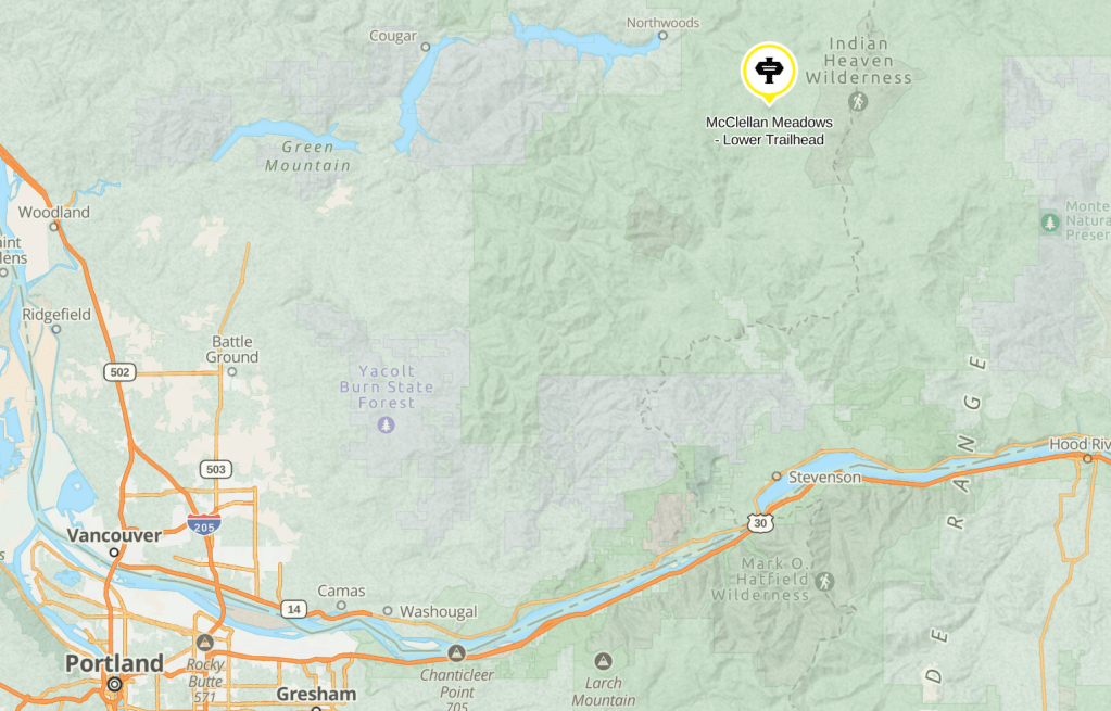
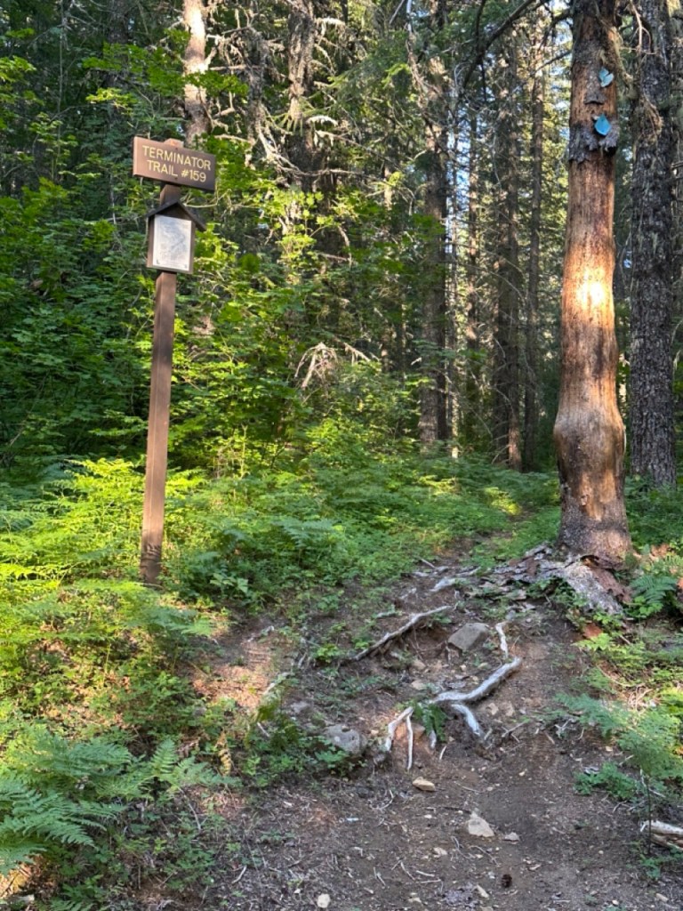
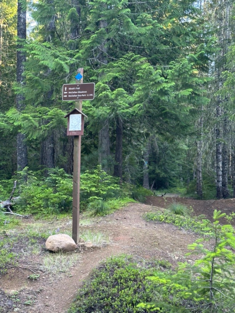
McClellan Meadows – Lower Trailhead is located in Southwest Washington, just north of Carson, Wa. This trail provides access McClellan Meadows Trail #157, Valley Ski Trail #151 as well as Fall Creek Horse Camp and Indian Heaven Wilderness.
ACCESS ALERT: no TRAILER turnaround. HAUNTED. SEE ALTERNATE ACCESS OR JUST AVOID THE GHOSTS.
← Back to Trail Catalog
← Explore more trails in the Southern Washington area
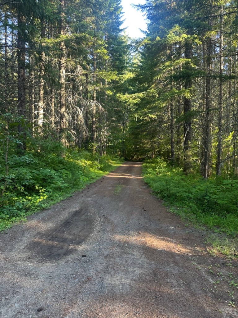
Parking: Narrow road with soft ledge that even my truck was pretty wide for. Zero turnaround at the trailhead.
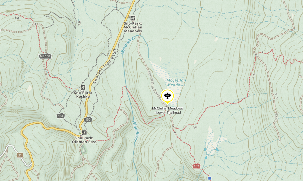
Alternate Access: Ride the trail from Fall Creek Horse Camp or ride the road into the trailhead from McClellan Meadows Sno-Park which is just 1.1 miles away.
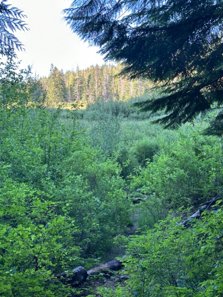
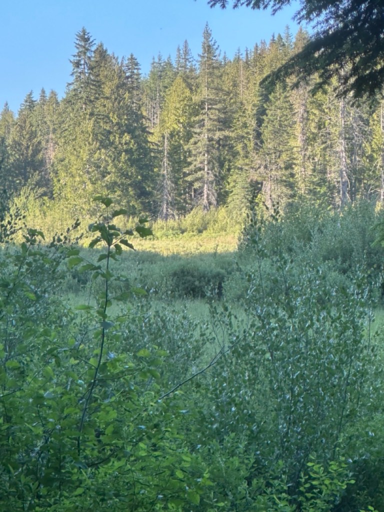
This Shit is Haunted: When we got to the trailhead we decided to explore access to McClellan Meadows for a backcountry pack-in spot. I was approaching the meadow on a game trail when I heard what sounded like a human noise in the woods. I stopped dead in my tracks and turned to my friend, she heard it too. I scanned the forest for another person and saw nothing. I immediately felt the need to leave the area. I saw something deep in the brush, a tent? I couldn’t make out anything past the first layer of trees and brush – it was as if my eyes couldn’t focus. My friend suggested it was just a tree rubbing against another tree. I didn’t believe it but I said okay, and we didn’t run back to the truck. Then we heard the noise again. She said it’s the tree. Okay sure, I thought. She continued to the meadow about 15 feet from me. I heard a grunt in the forest… a bear maybe? My friend said the meadow was full of water and elk tracks, not a place for horses. We got out of there quickly. There was no wind, no sound of anything except what we heard.
Possible Destinations:
(mileage is one way unless stated)
- McClellan Sno-Park – 1.1 miles
- Fall Creek Horse Camp – 3.5 miles
- Indian Heaven Wilderness – 3.7 miles
- Race Track Lake – 5.5 miles
- Pacific Crest Trail – 6.1 miles
- Crest Horse Camp – 9.3 miles
Facilities: None.
Permits: None.
Water Sources: None.
Backcountry Sites: Possibly within the meadow if there are dry spots elsewhere and you like hanging out with bigfoot and/or spirits, but if you know backcountry info for this area please email adventure.equines@gmail.com to update this listing.
Cell Service: None.
Fuel: Texaco – 11 Carson Frontage Rd, Carson, WA 98610
Directions: From Carson, Washington travel north on Wind River Highway to the Forest Boundary where it becomes Forest Road 30. Continue north on Forest Road 30 to the intersection with Forest Road 3053 at McClellan Sno-park. Turn right on Forest Road 3053 and continue to the trailhead.
Road Conditions: Narrow gravel, a few potholes, overgrown brushy soft edges.
GPS Coordinates: 45.99483, -121.89222
Resources:
Maps:
← Back to Trail Catalog
← Explore more trails in the Southern Washington area
If you’d like more PNW trails straight to your inbox, be sure to subscribe!

Leave a comment