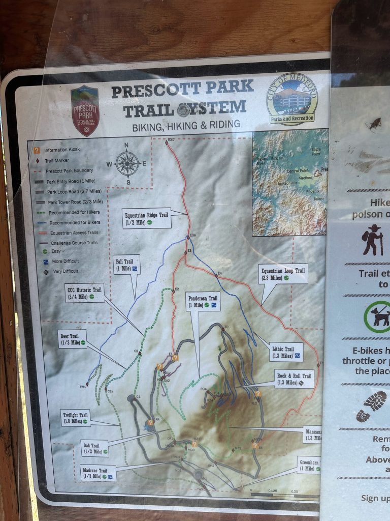
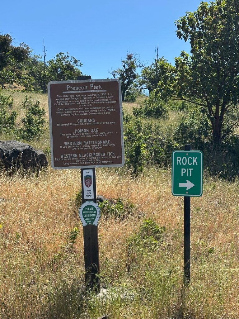
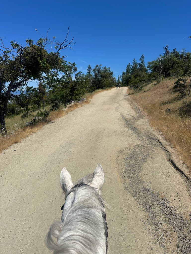
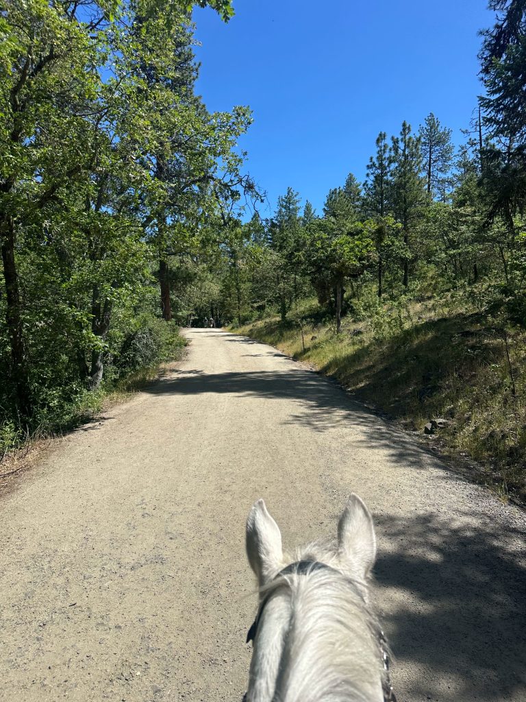
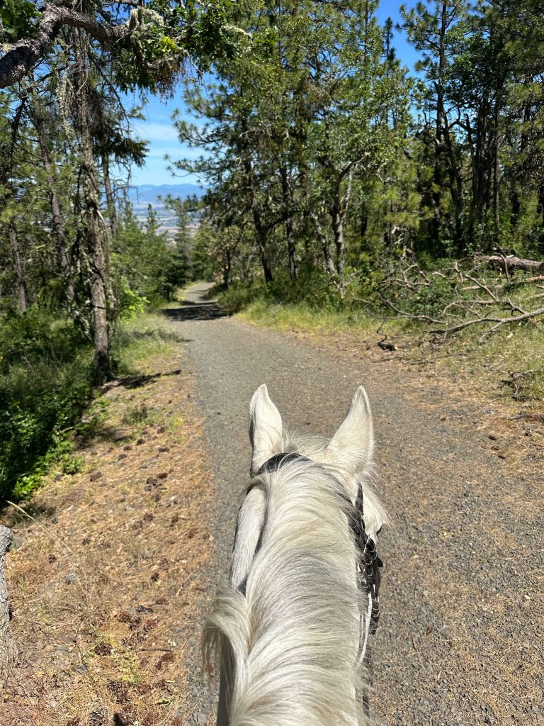
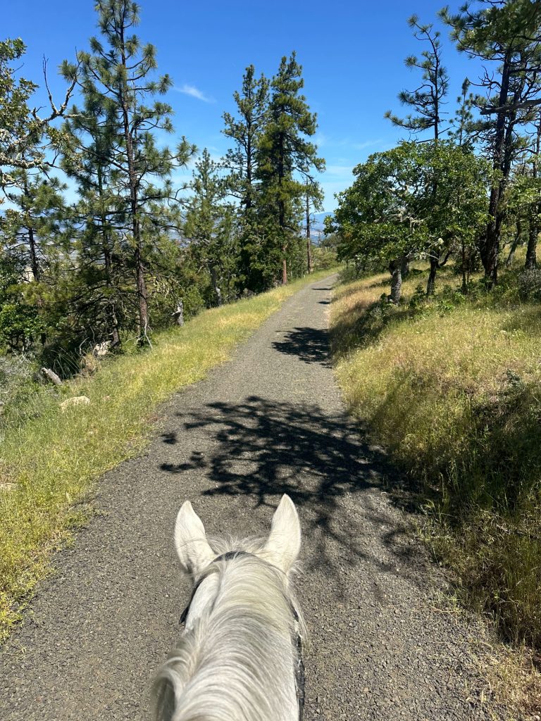
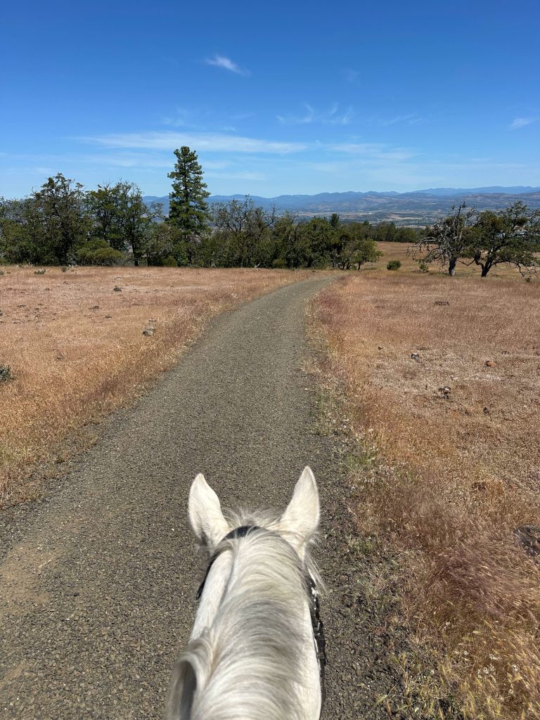
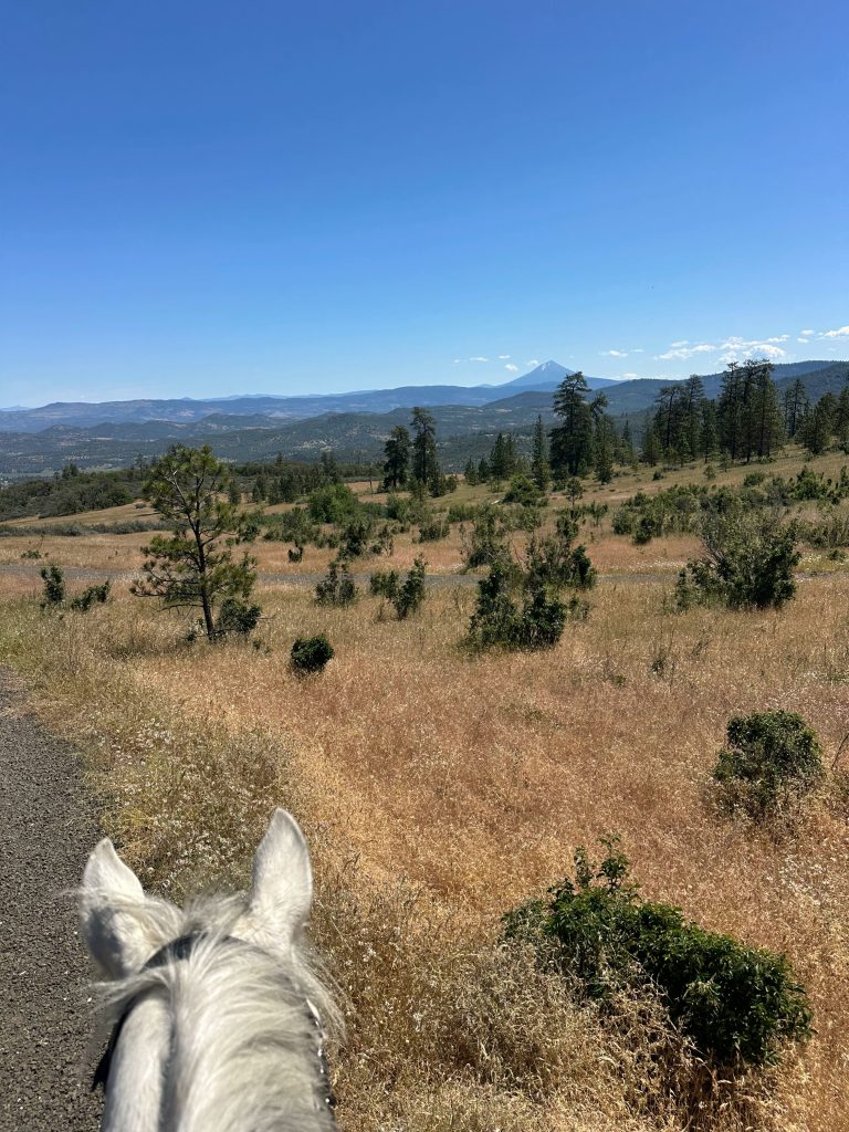
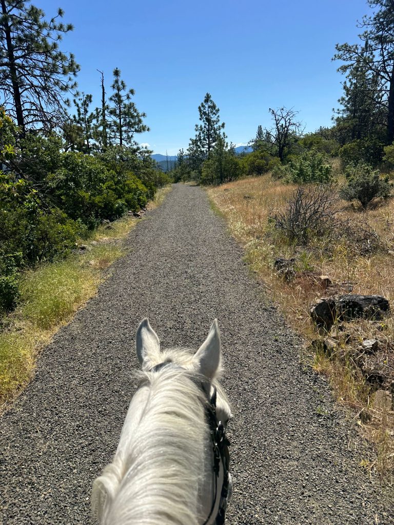
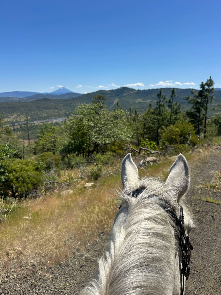
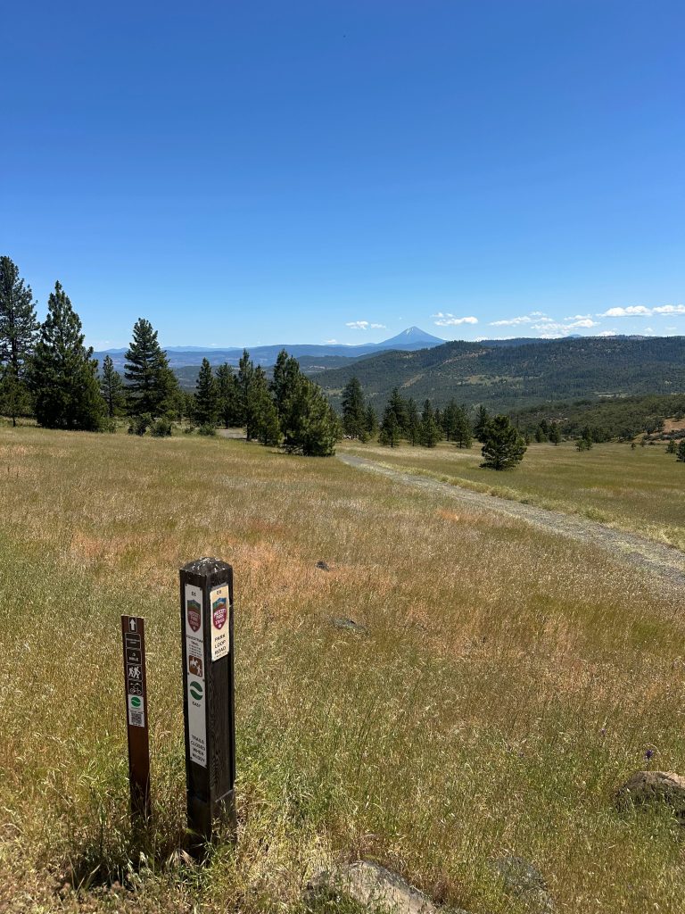
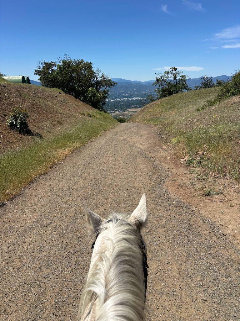
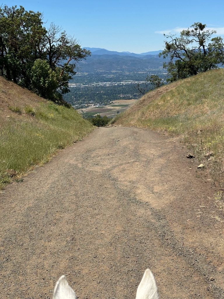
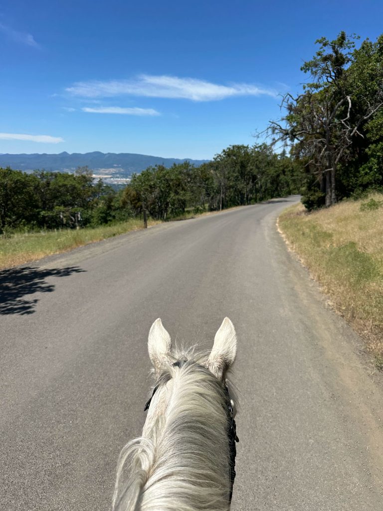
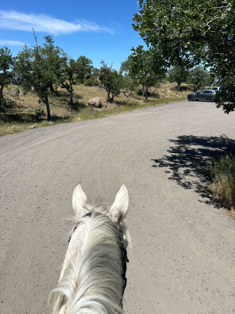
Prescott Park is located in Medford city limits in Southern Oregon, this park offers about 6 miles of all-weather multi-user trails and roads. Offering views of the valley and Mt McLoughlin, along flat open trail to pick up the pace- this is a great park for a short ride.
Trail Stats:
- 6 miles of trails available.
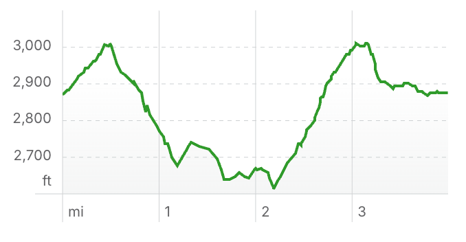
- Elevation Gain: 423 feet
- Elevation Loss: 459 feet
- Max Elevation: 3,012 feet
- Difficulty: Easy
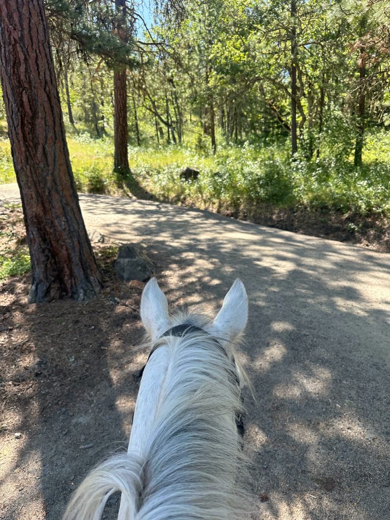
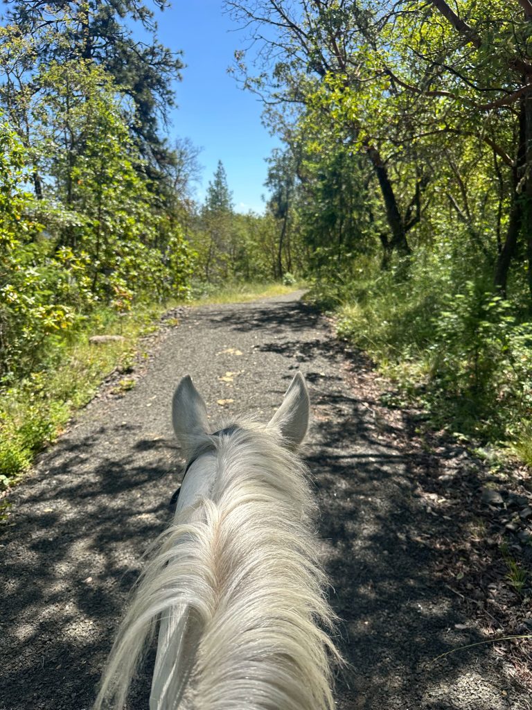
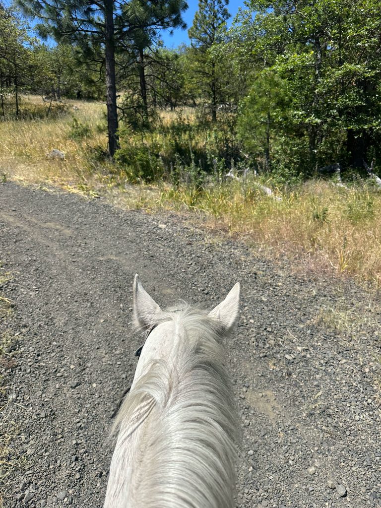
↗ What does this mean? - Footing: Pack gravel, old fire access road, pavement and rocky decommissioned road.
- Hoof Protection: Boots/shoes recommended.
← Back to Trail Catalog
← Explore more trails in the Southern Oregon area
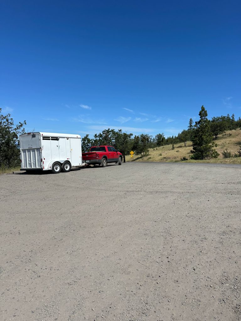
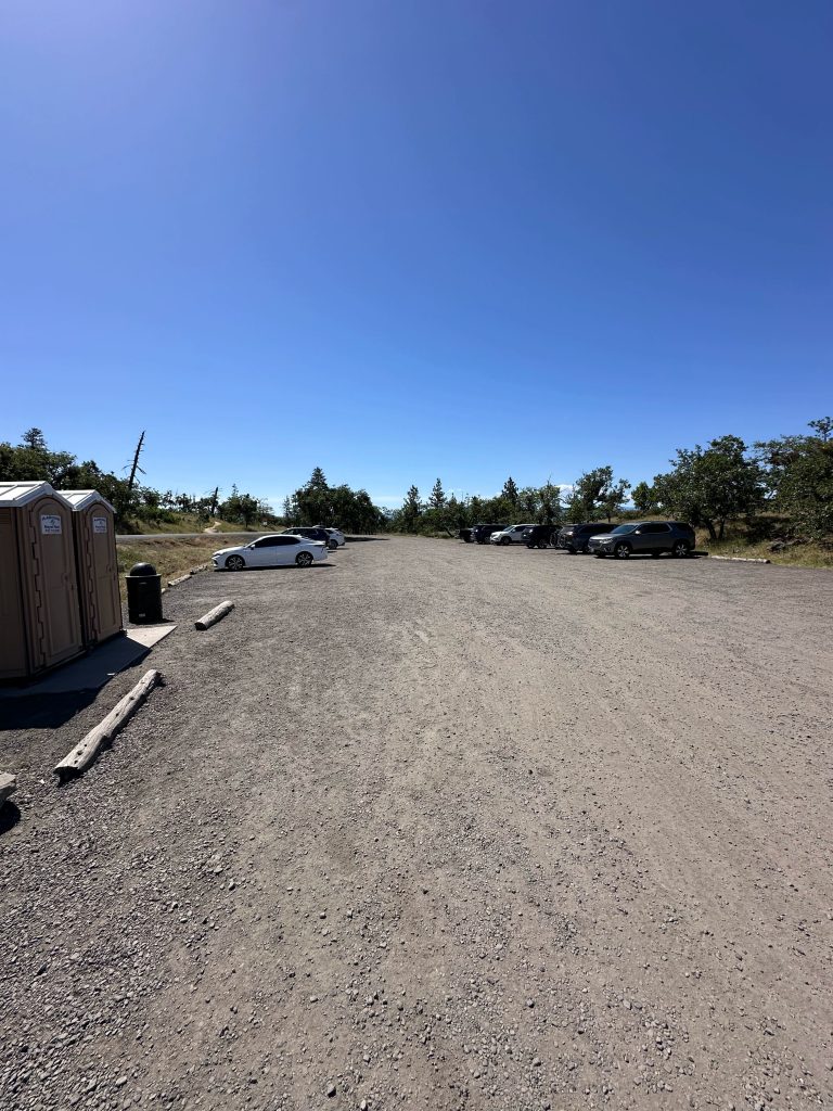
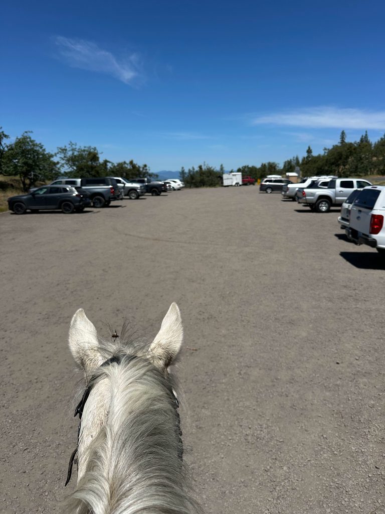
Facilities: Porta-a-potty. No dedicated trailer parking or equestrian amenities.
Water Sources: None.
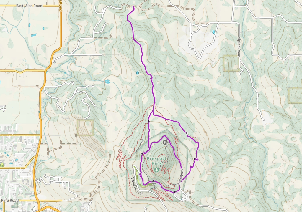
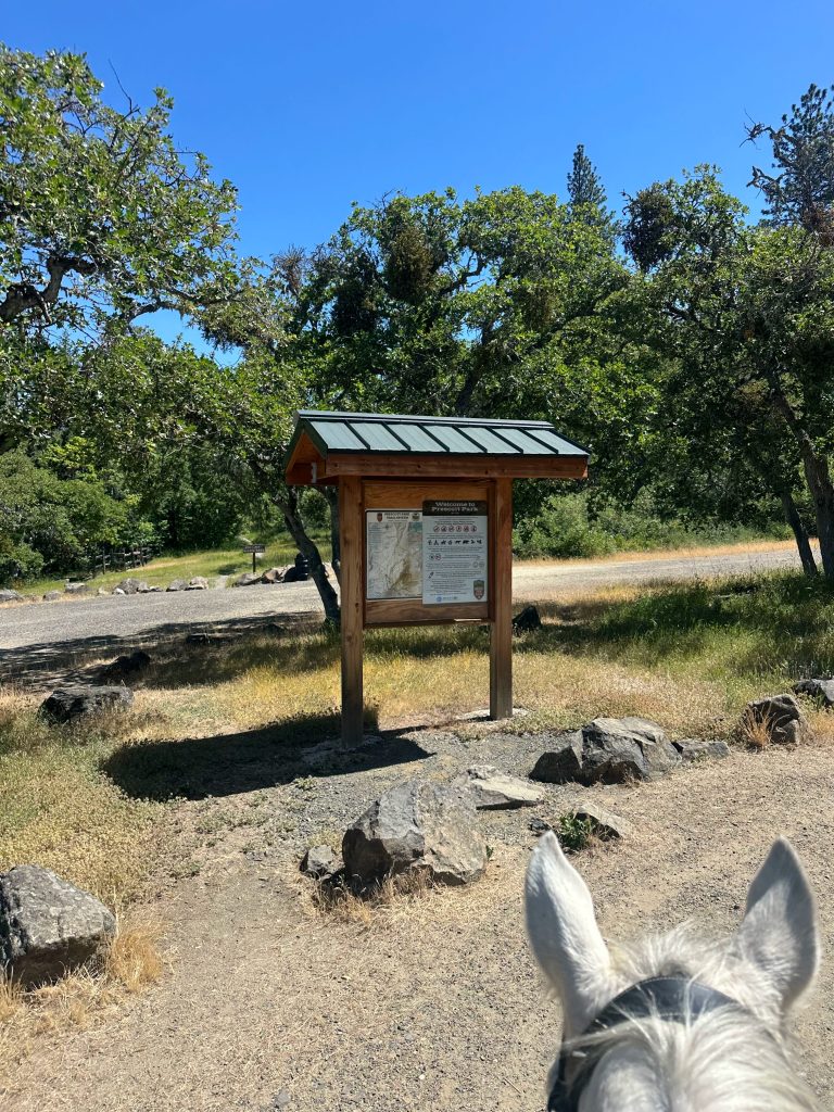
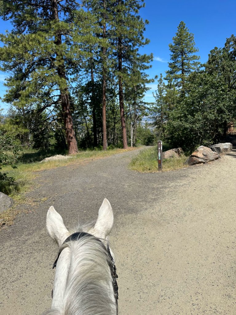
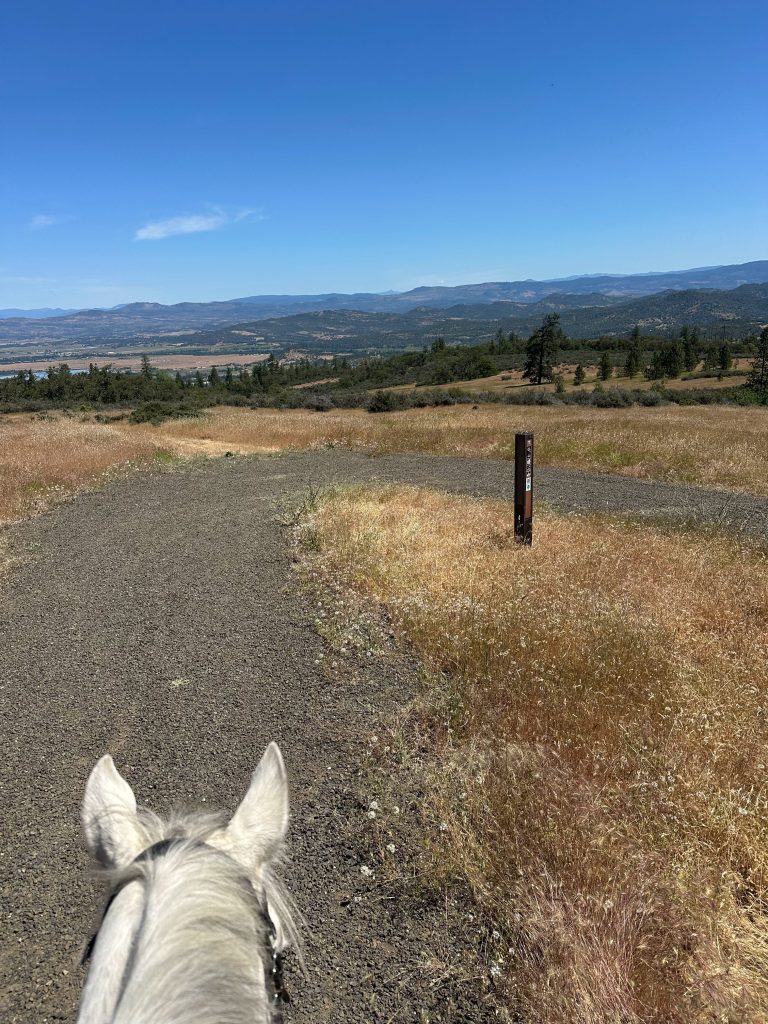
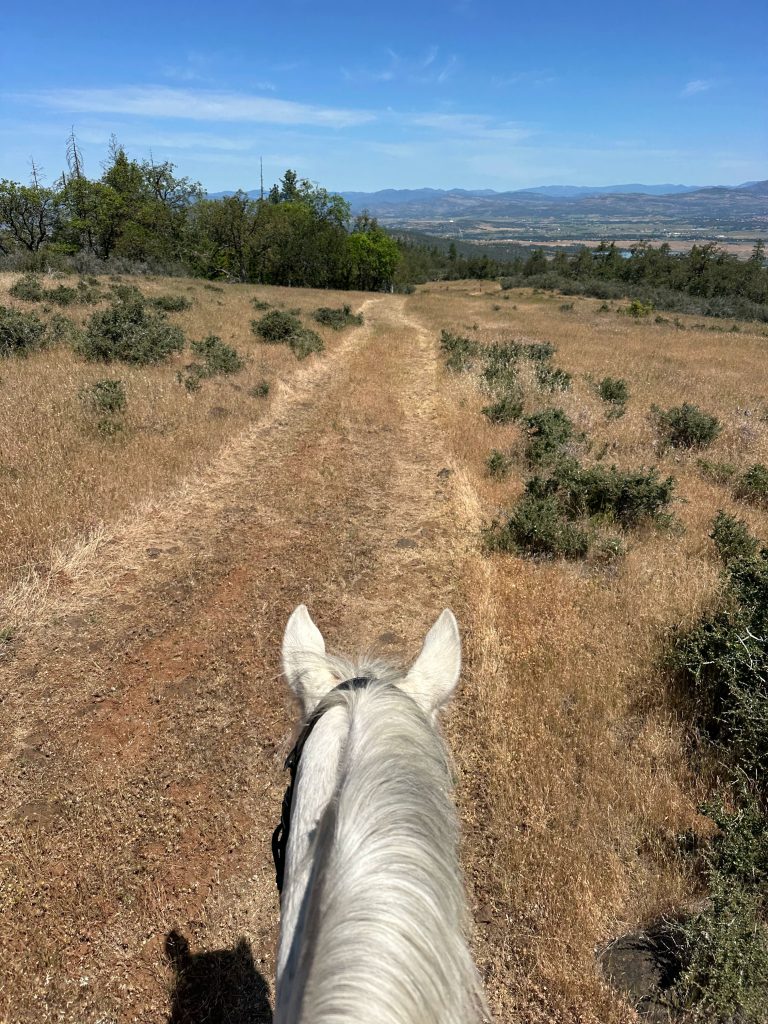
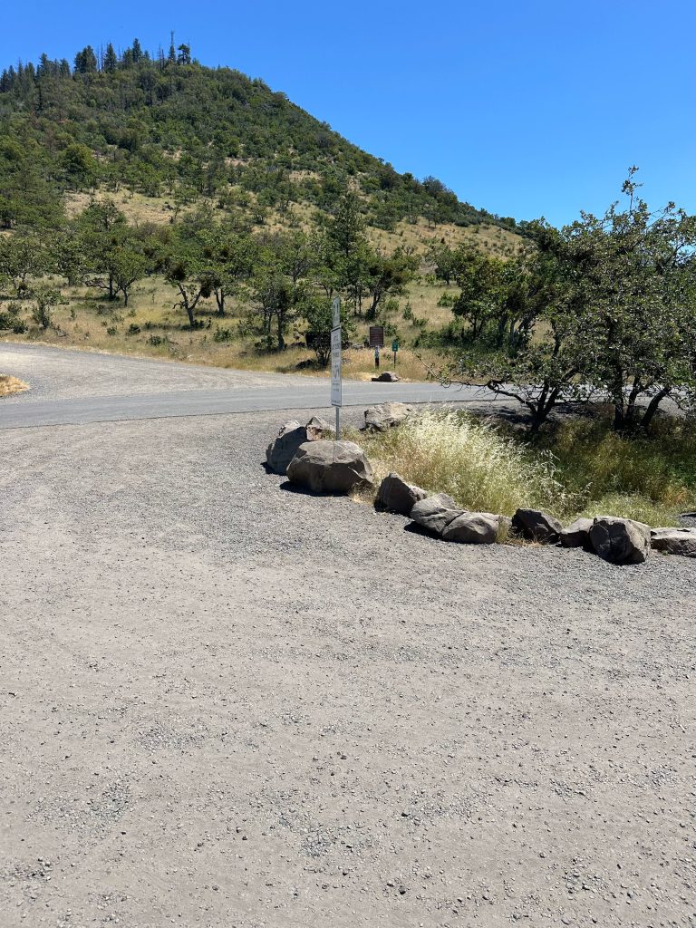
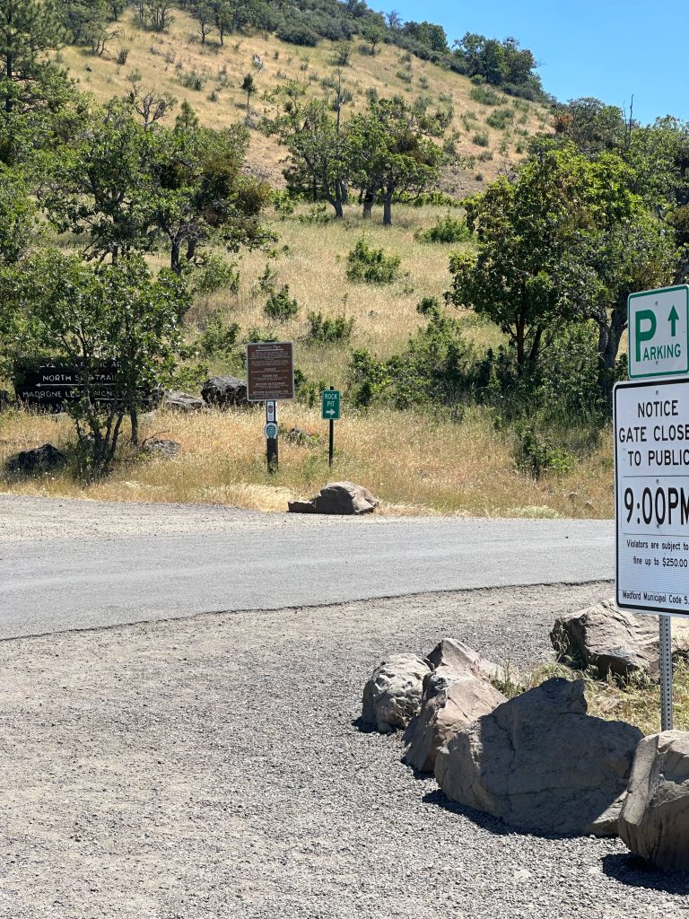
Trail Info: From the upper lot, head north around the left side of the yellow gate on the fire access road. Follow this for 0.5 miles until you see a gravel trail on the left. If you’d like to make the small loop, continue on this road until you loop back to the lot. To see the other trails, follow the trail to the left for 0.6 miles. At this junction, you can continue straight onto the ridge trail for an out-and-back or veer right to loop. After you’ve veered right, follow this for 1.9 miles. You will pop out on the road again. There is only foot and bike traffic on this section since only authorized vehicles are allowed past the Upper Lot. Take a right onto the road, you will ride down one short, steep section of gravel road, and then arrive back at the parking lot after 0.9 miles.
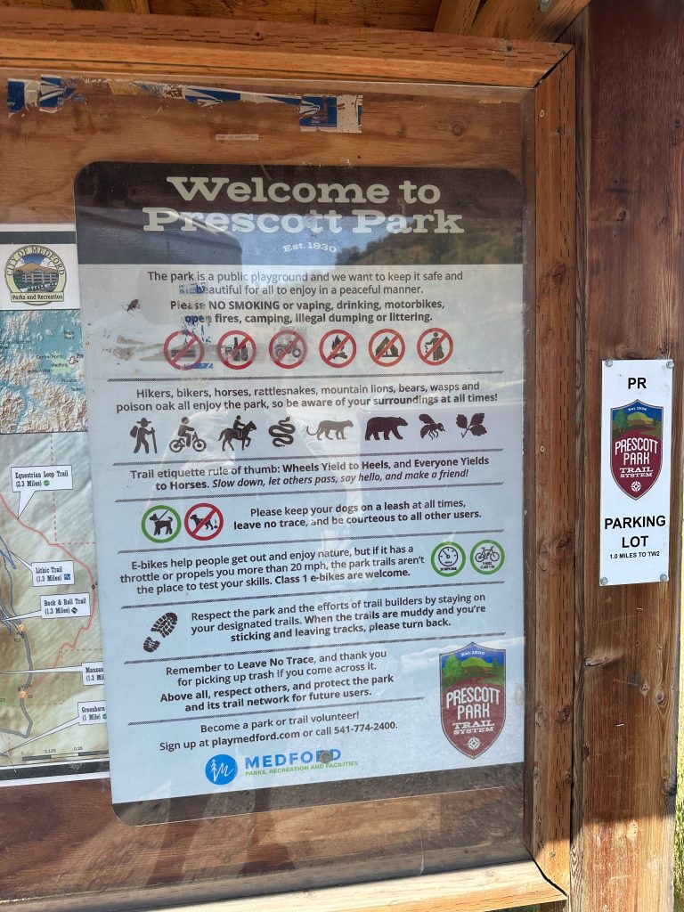
Trail Challenges: Bikes, e-bikes, ticks, dogs, urban park happenings (strollers, children, etc), cougar and bear sightings, rattlesnakes, mud in off season, poison oak.
Permits: None.
Park Rules: Horses only allowed on designated trails. Park is open March 1 – October 31 from 7am-9pm, and November 1 – February 28 from 8am-5pm. Gate is locked after hours.
Backcountry Sites: Not suitable for backcountry use.
Cell Service: Verizon – 5G coverage.
Fuel: Chevron – 1306 Springbrook Rd, Medford, OR 97504
GPX Files:
OHT: Prescott Park – Outer Loop
OHT: Prescott Park – Ridgeline Trail
OHT: Prescott Park – Inner Loop
Maintained By: City of Medford Parks
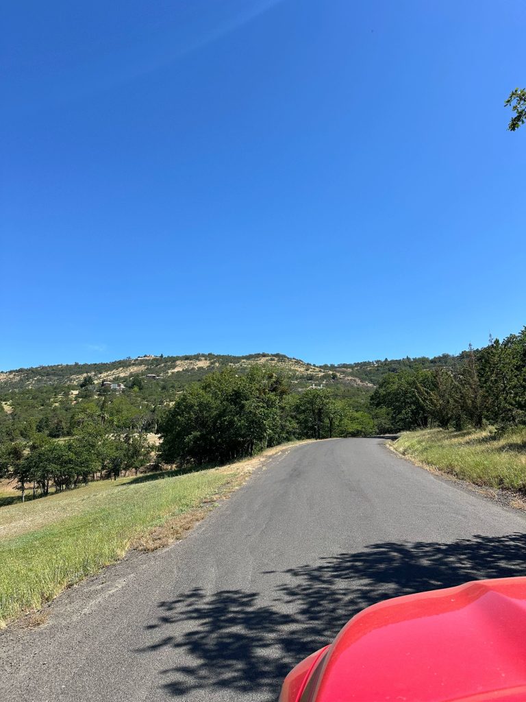
Directions: Driving from the north on I-5, take Exit 30 for Highway 62, Medford, and Klamath Falls. After exiting the freeway, turn right onto Highway 238W for Medford, and drive 0.4 miles. Then make a left turn onto Highway 99S, and proceed 0.3 miles. Next, turn left onto E. McAndrews Road, and go 1.0 miles. Keep straight at the intersection with Crater Lake Avenue, and continue 3.4 miles. Bear slightly left on Hillcrest Road, and keep driving for 1.0 miles before turning left onto Roxy Ann Road for Prescott Park. Follow the road for 2.4 miles until you reach the end of the road at the Upper Lot.
Resources:
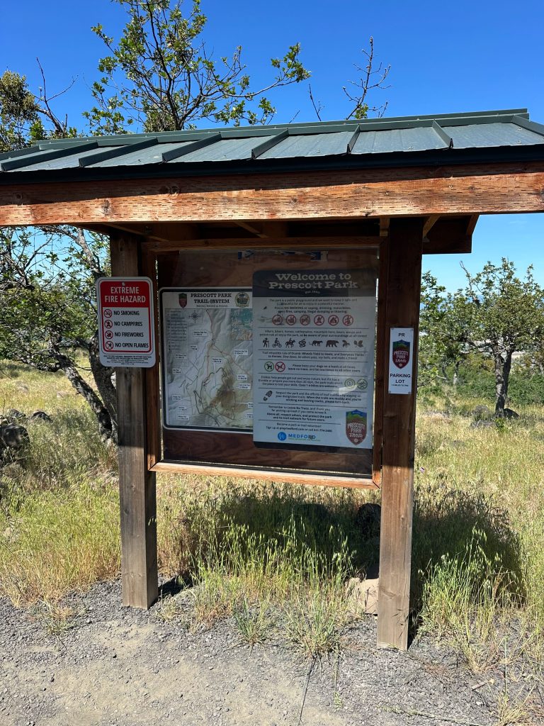
Map: Purple trails are the only trails horses are allowed on.
← Back to Trail Catalog
← Explore more trails in the Southern Oregon area

If you’d like more PNW trails straight to your inbox, be sure to subscribe!

Leave a comment