alert: access is confusing due to two trailheads with almost identical names and incorrect information on various websites. Please see details at end of listing and use coordinates to locate trailhead.
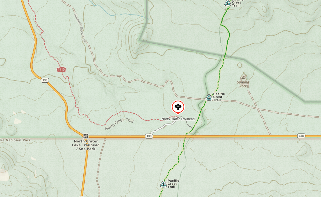
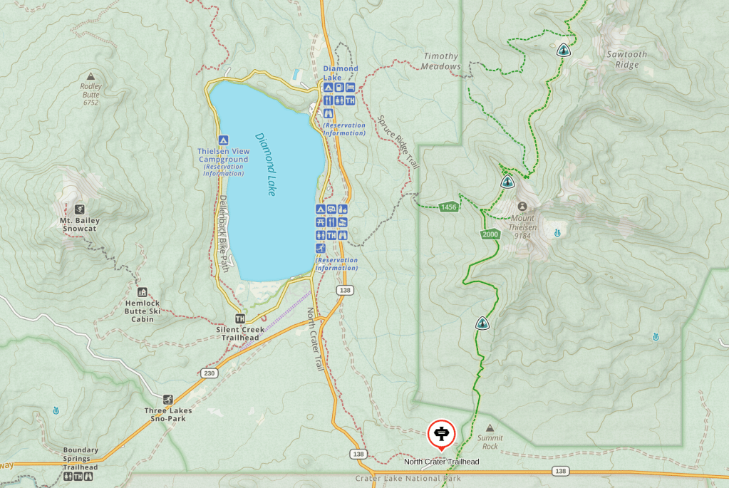
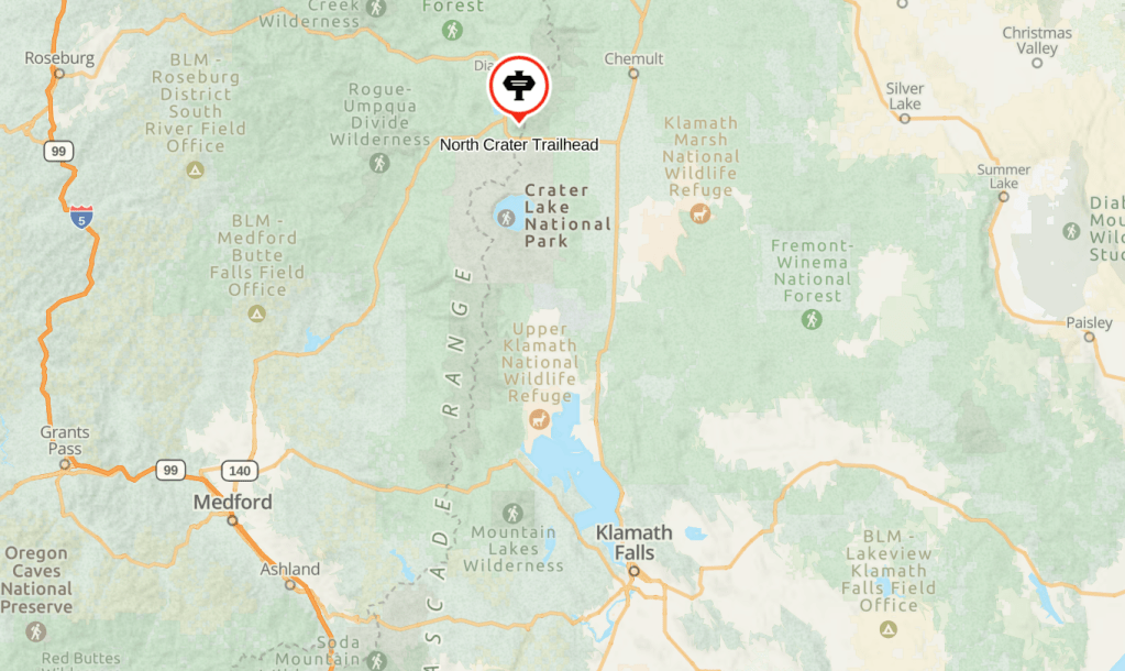
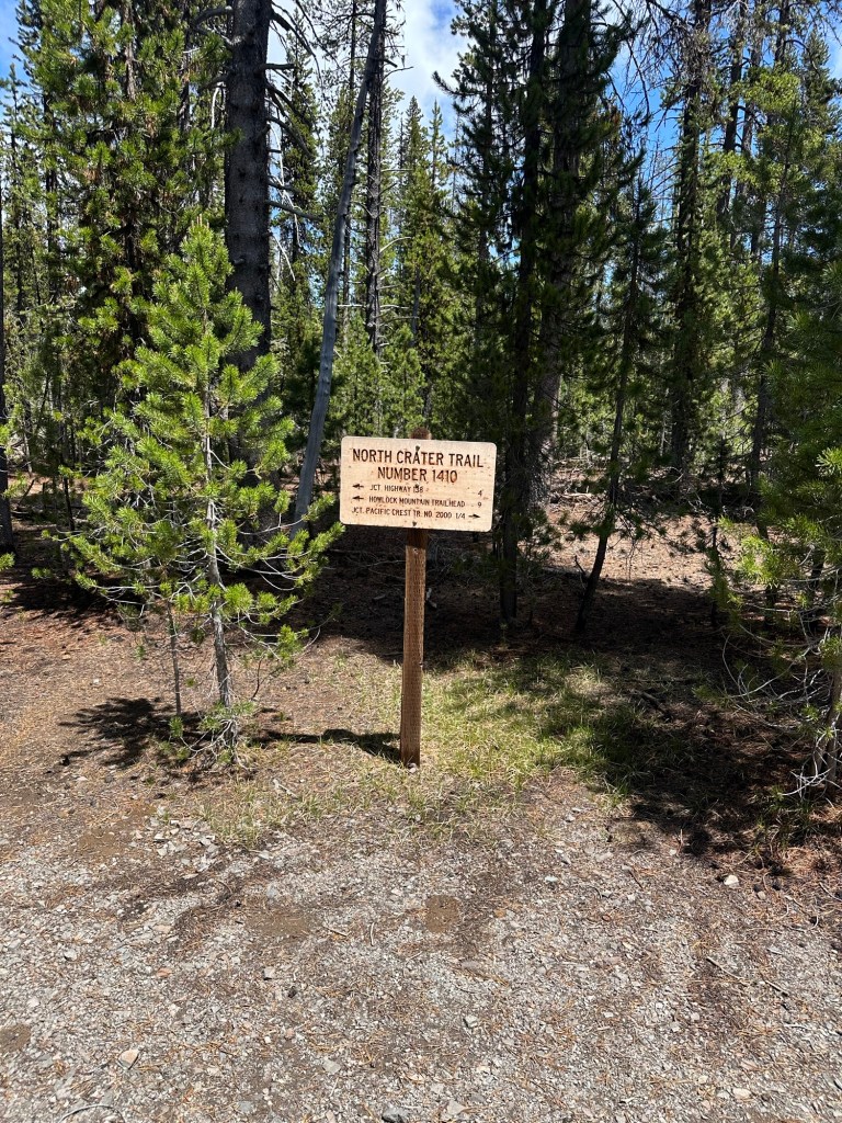
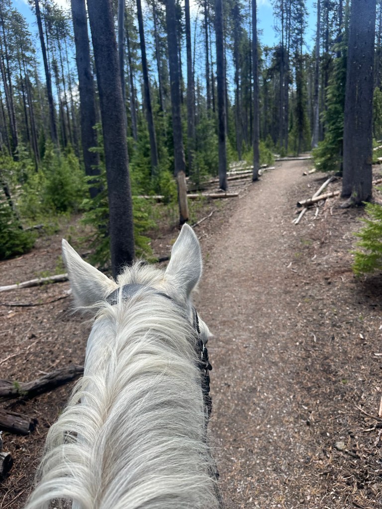
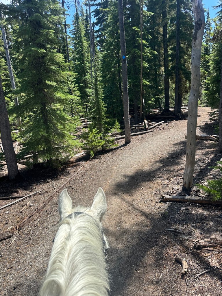
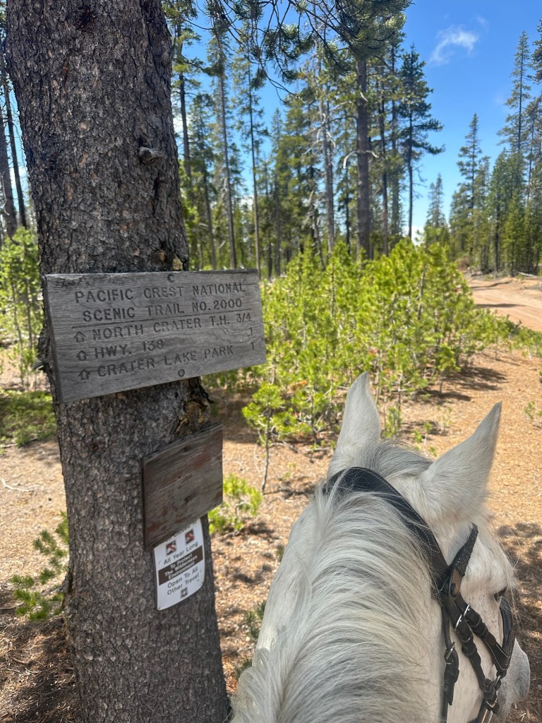
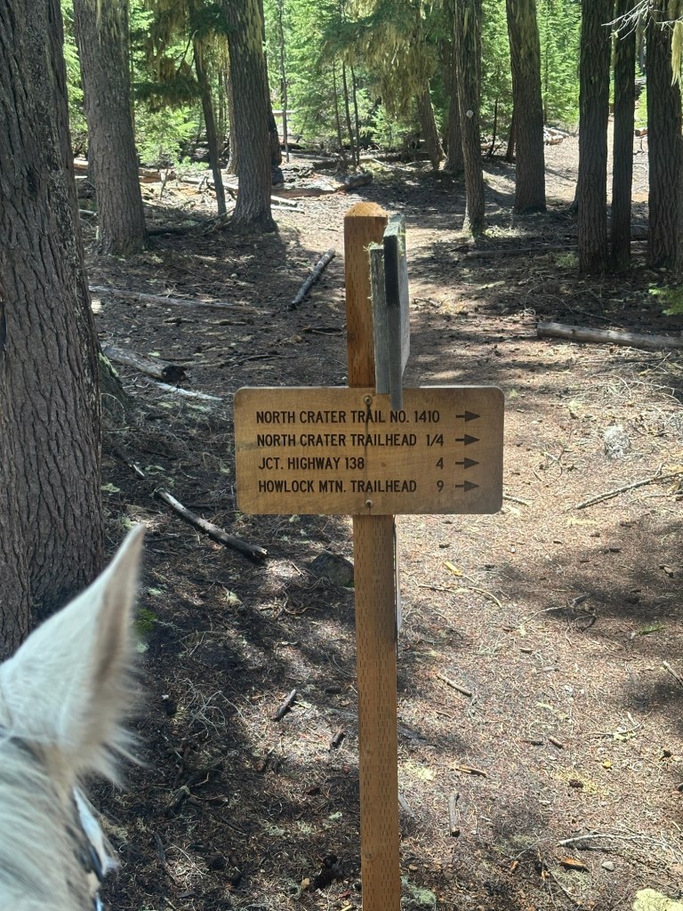
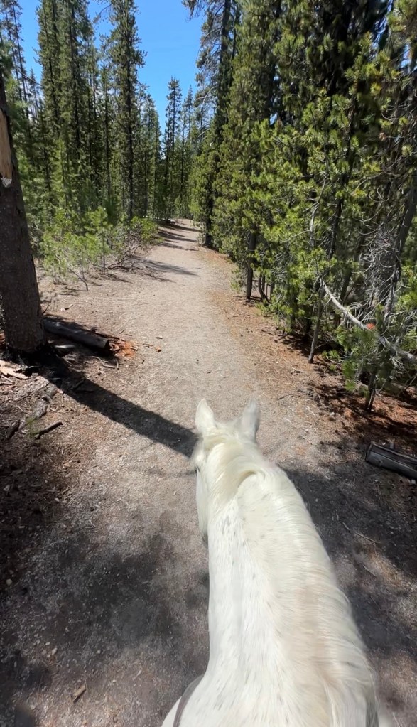
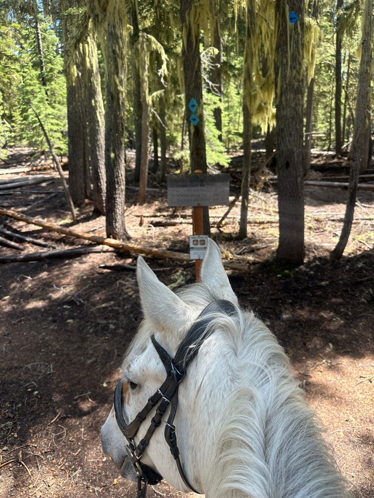
North Crater Lake Trailhead/Sno-Park is located in Southern Oregon just 24 minutes from Chemult, Oregon. The trailhead starts in the Umpqua National Forest but offers access to the Mount Thielsen Wilderness in just over a mile when riding northbound. If ridden southbound you will find yourself within Crater Lake National Park boundary in just 0.5 miles. The junction for the PCT is just 0.3 miles from the parking area. This trail also has access to North Crater Trail #1410 and Summit Rock Trail which is an old road.
← Back to Trail Catalog
← Explore more trails in the Southern Oregon area
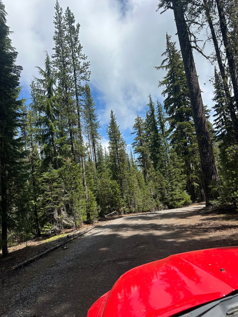
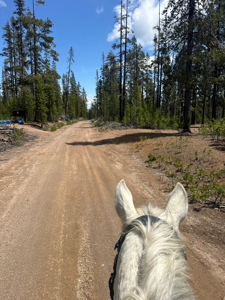
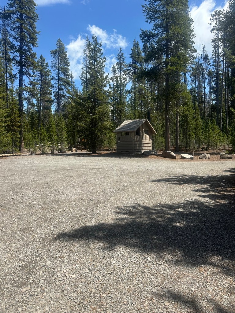
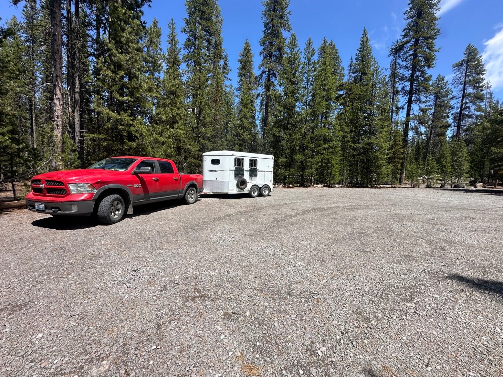
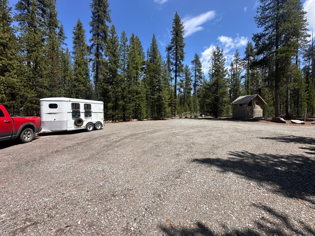
Parking: Small turnaround at the end of the road. Room for one trailer.
Possible Destinations:
(mileage is one way unless stated)
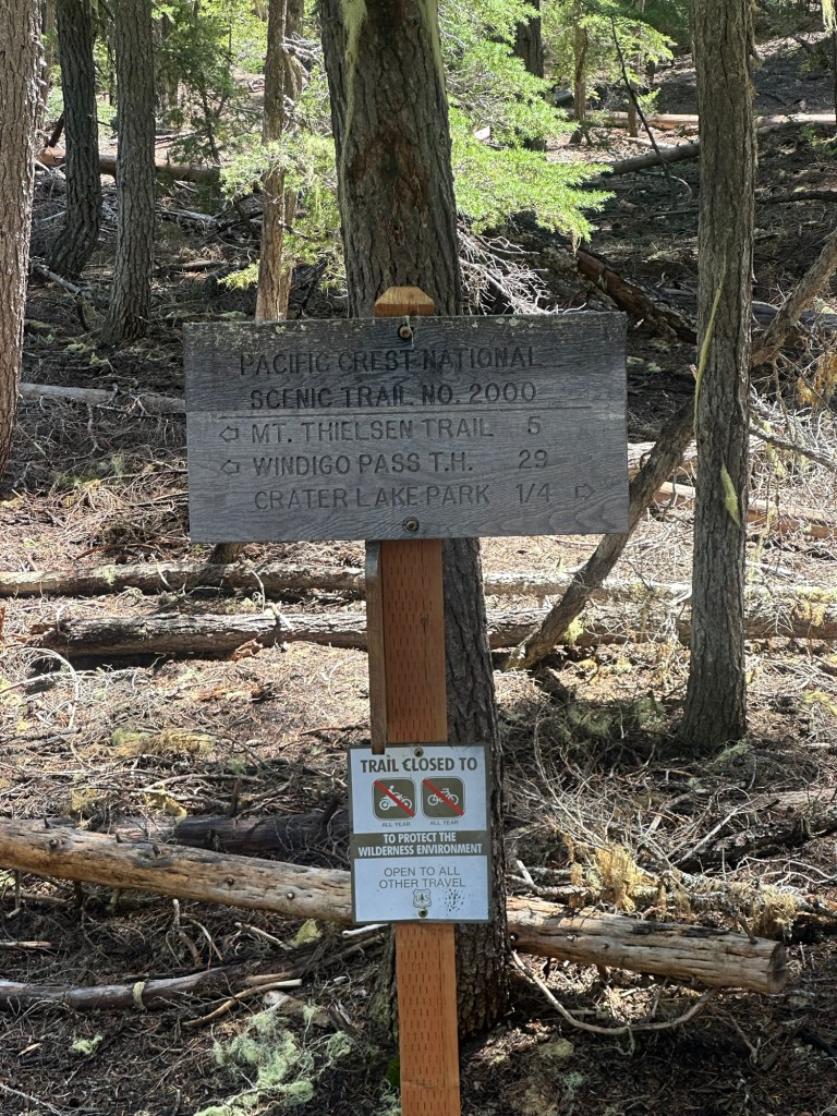
- Pacific Crest Trail Junction – 0.3 miles
- Summit Rock – 2.0 miles
- Crater Lake National Park – 0.5 miles
- Mount Thielsen Wilderness – 1.3 miles
- Base of Mount Thielsen – 6.5 miles
- Howlock Mountain Trailhead 8.6 miles
- Diamond Lake Resort – 9.1 miles
- Kelsay Valley Horse Camp – 28.3 miles
Facilities: Vault toilet, picnic tables, hitching post. Loading ramp has been removed.
Permits: None at trailhead. No fee May through November. Self-issue wilderness permit when entering Mount Thielsen Wilderness.
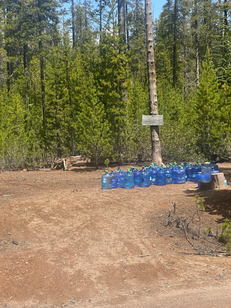
Water Sources: None. Plan ahead as this is a dry section of the PCT
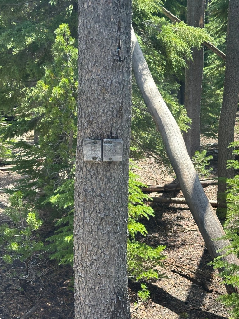
Backcountry Sites: Likely along the Pacific Crest Trail, if you know backcountry info for this area please email adventure.equines@gmail.com to update this listing.
Cell Service: Verizon – spotty northbound PCT to wilderness boundary.
Fuel: Chevron – 109481 US-97, Chemult, OR 97731
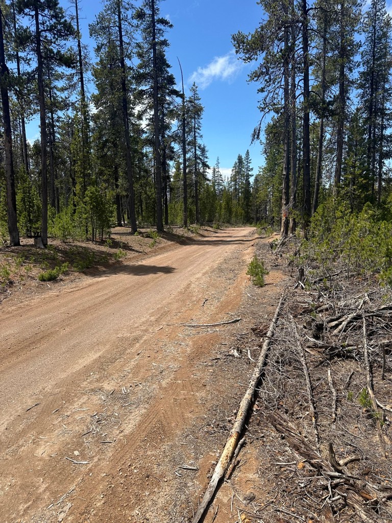
Directions: From Roseburg, OR, take Highway 138 east for about 86 miles. Turn north off Highway 138, one mile east of the Crater Lake National Park junction, onto Forest Road 4799. The trailhead begins at the end of the road.
GPS Coordinates: 43.09251, -122.09373
Access Details:
- I originally pulled into the North Crater Trailhead/Sno Park without looking it up because it was near the PCT, and on my route to the horse camp I was headed to. There are no signs saying no trailers or no horses. I parked, rode, and left.
- When researching for this listing, I found that the trailhead does not allow stock. However, there were no signs to notify any user of that, and the PCT is open to horses in all sections. However, this is inaccurate because it’s the sno-park listing, not the trailhead. This is where it gets confusing.
- The Google location for this is marked as “North Crater Trailhead/Sno Park” however after further research it appears this specific area that I parked and rode is in fact the trailhead, and NOT the Sno Park.
- After a long debate with the rangers who have no idea where this trailhead is and believe it belongs to Crater Lake National Park (it does not) or a ranger station in Wyoming (yes, they transferred me there). This specific location is the North Crater TRAILHEAD which is open to horses and dispersed camping. The North Crater SNO-PARK has the same coordinates listed on the USFS page and says no stock use – however I believe this is a typo and refers to the Sno-Park across the highway which does not easily connect to the horse trails. The listing for North Crater Trail confirms that dispersed camping is allowed at either end of the trailhead by using Howlick Mountain Trailhead or North Crater Trailhead.
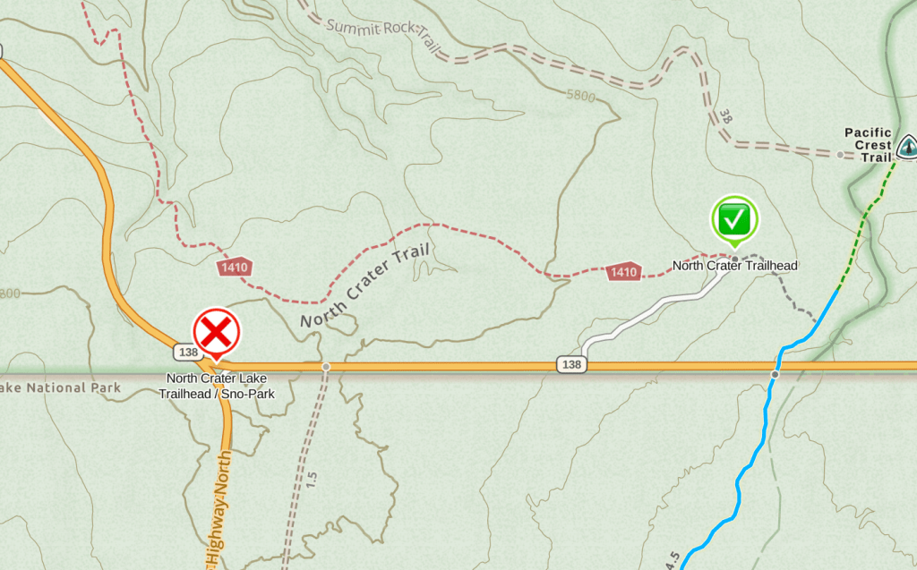
Overall, I do believe this access is correct. The ranger settled on “if the road is open and there’s no signs saying no horses then you can be there”. So get out there and ride the Pacific Crest Trail!
Resources:
- USFS Status Page – North Crater Sno Park
- USFS Status Page – North Crater Trailhead
- USFS Status Page – North Crater Trail #1410
- NW Horse Trails – Mt Thielsen from North Crater Trailhead
- Holly’s Horse Tales & Trails – North Crater Trailhead
- Holly Horse Tales & Trails – North Crater Trailhead Video
Maps:
← Back to Trail Catalog
← Explore more trails in the Southern Oregon area
If you’d like more PNW trails straight to your inbox, be sure to subscribe!

Leave a comment