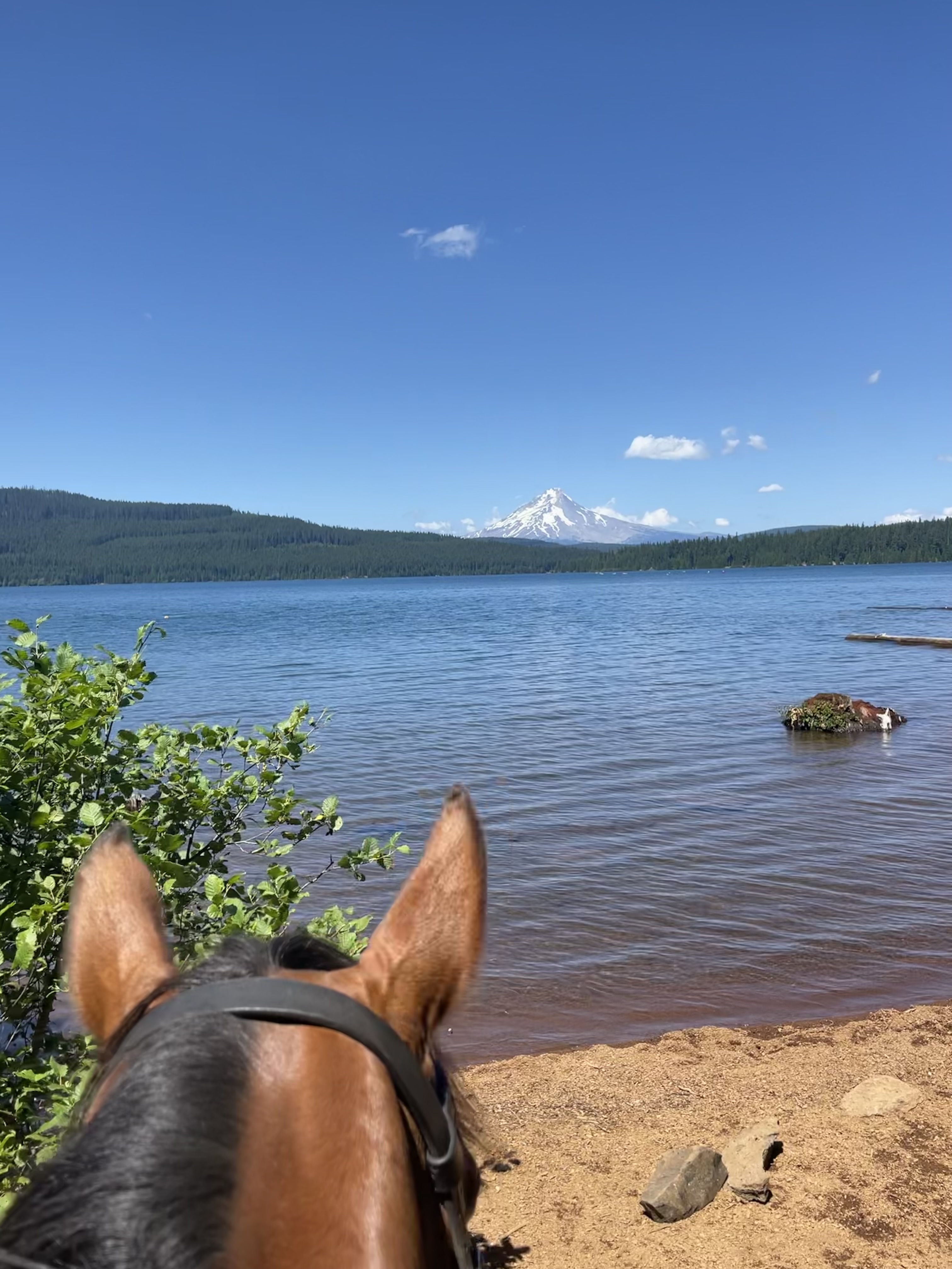
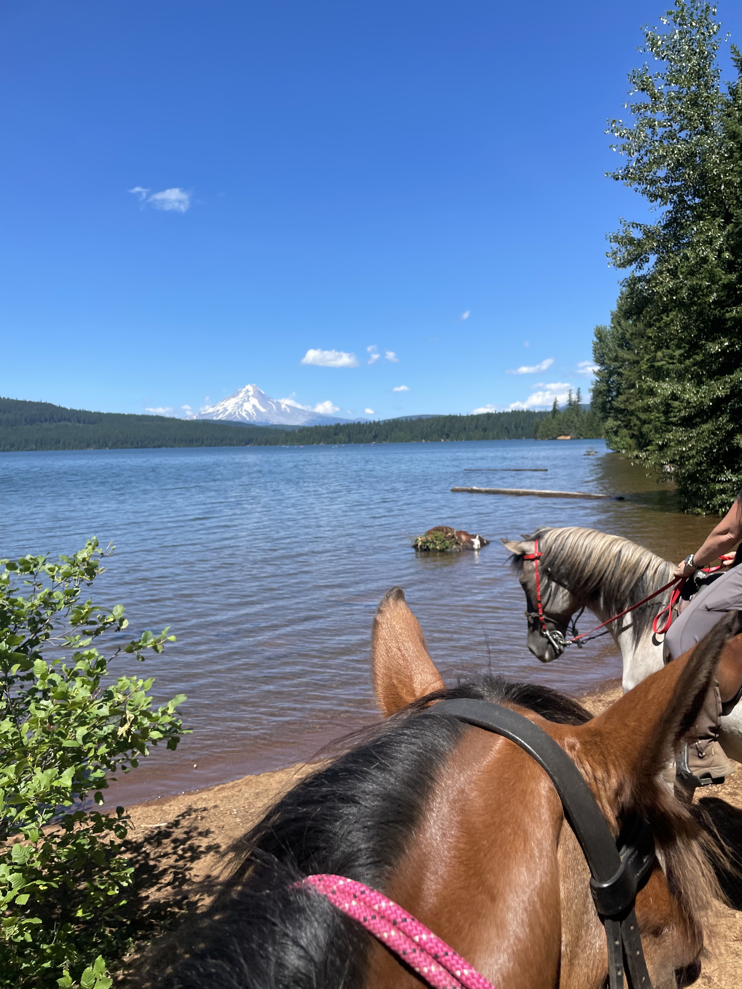
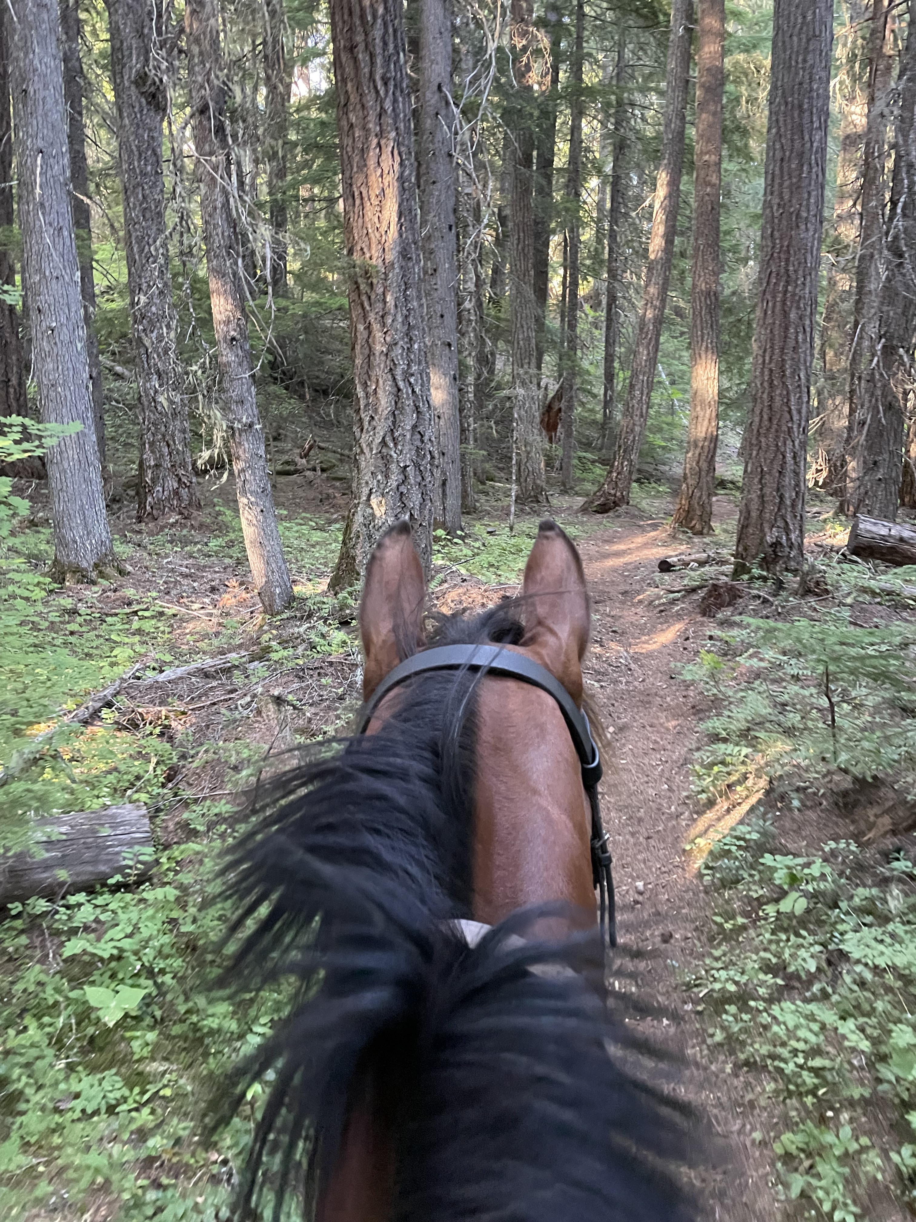
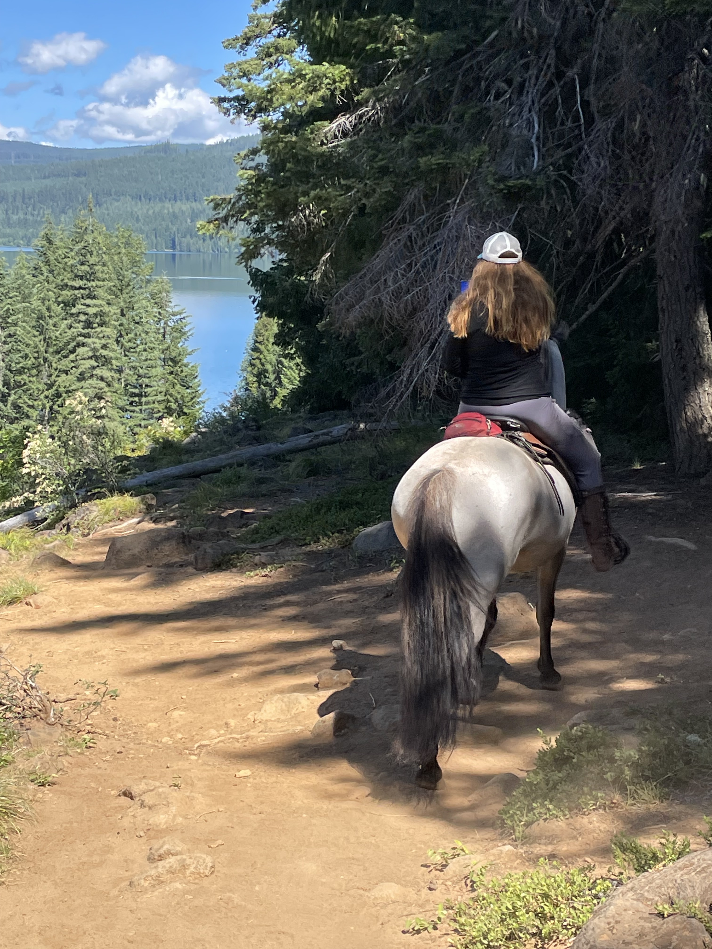
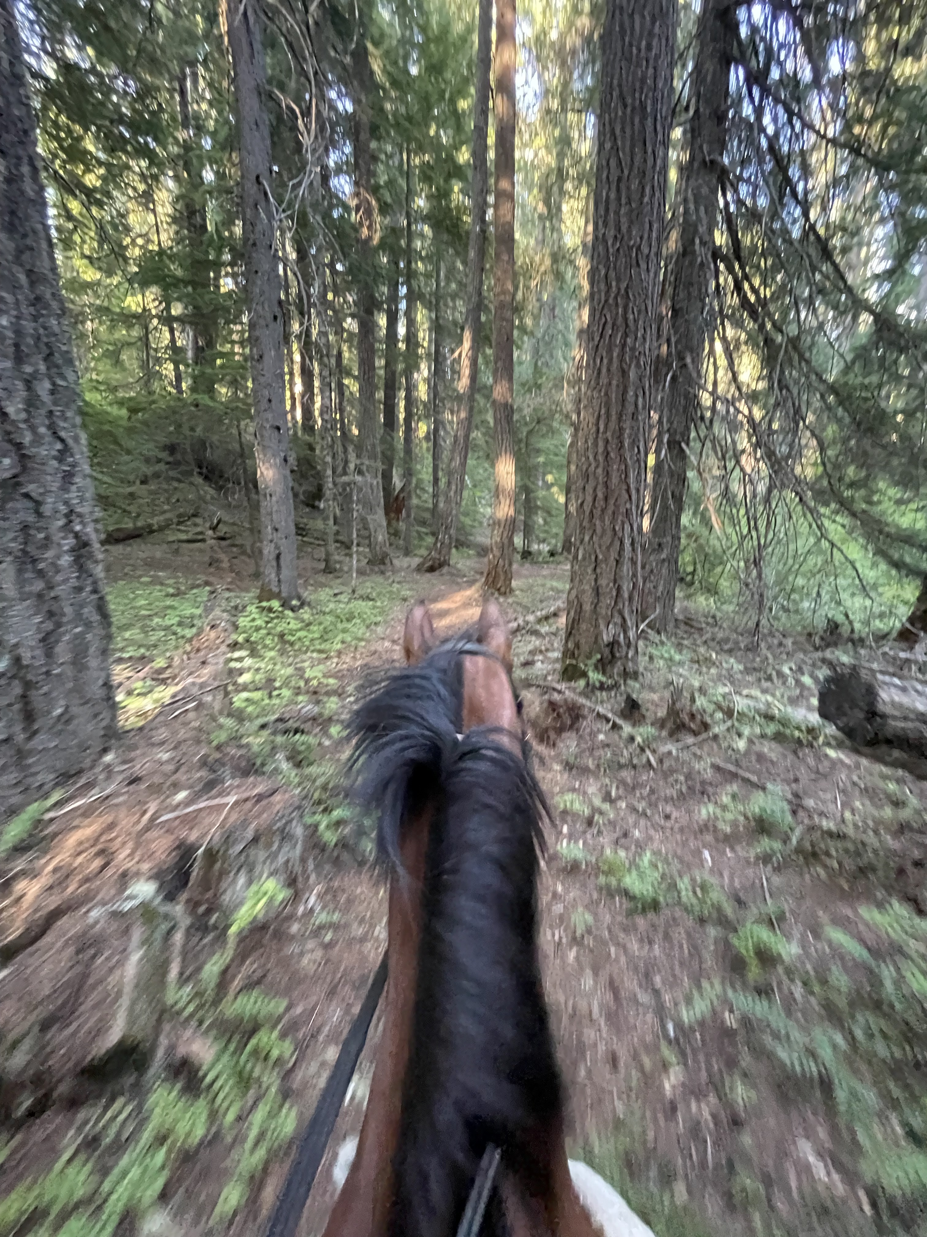
Timothy Lake Loop is a must for many riders. In just under 14 miles, you will ride around the entirety of Timothy Lake and enjoy views of Mt Hood. Located in Northwestern Oregon, in the Mt. Hood National Forest, this ride is even doable for day riders from the Portland metro area.
Trail Stats:
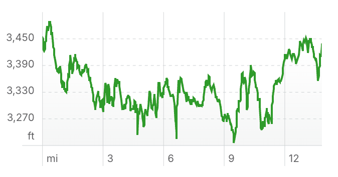
- 13.8 mile loop
- Elevation Gain: 1,938 feet
- Elevation Loss: 1,968 feet
- Max Elevation: 3,489 feet
- Difficulty: Moderate
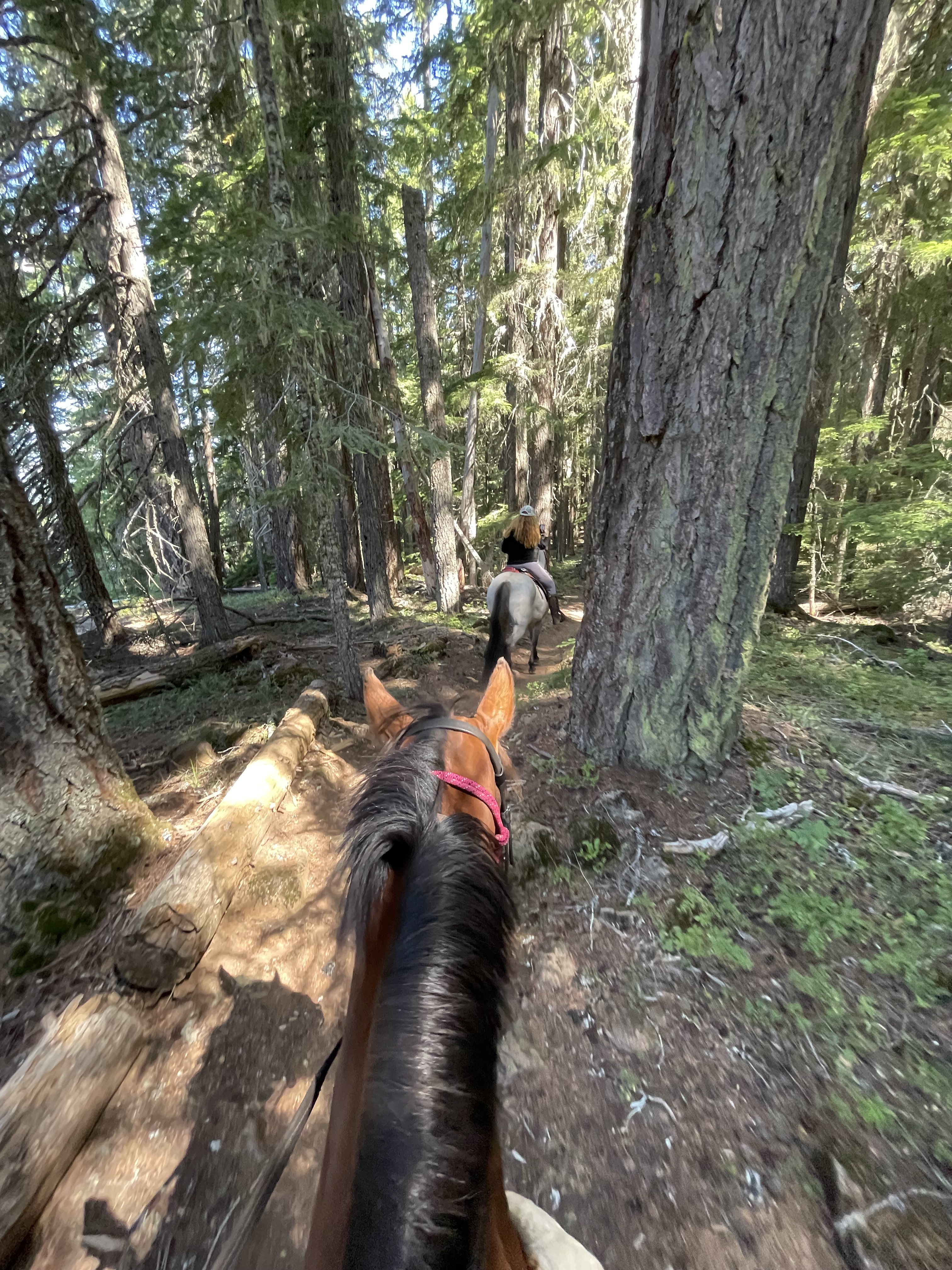
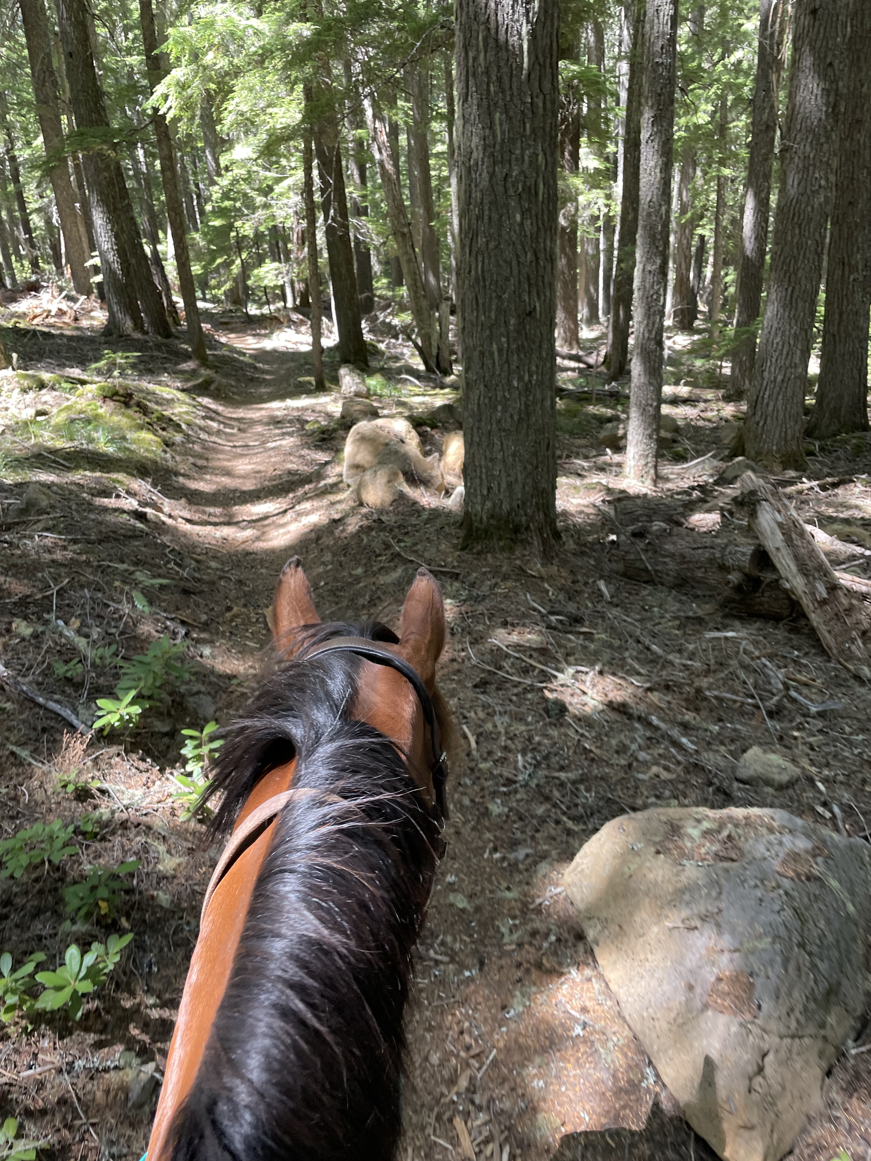
↗ What does this mean? - Footing: Dirt single track, some rocks, pavement/road.
- Hoof Protection: Barefoot OK if not sensitive.
← Back to Trail Catalog
← Explore more trails in the North Oregon Cascades area
Facilities: Joe Graham Horse Camp, Clackamas Lake Campground & Stone Creek Group Campground all provide direct access.
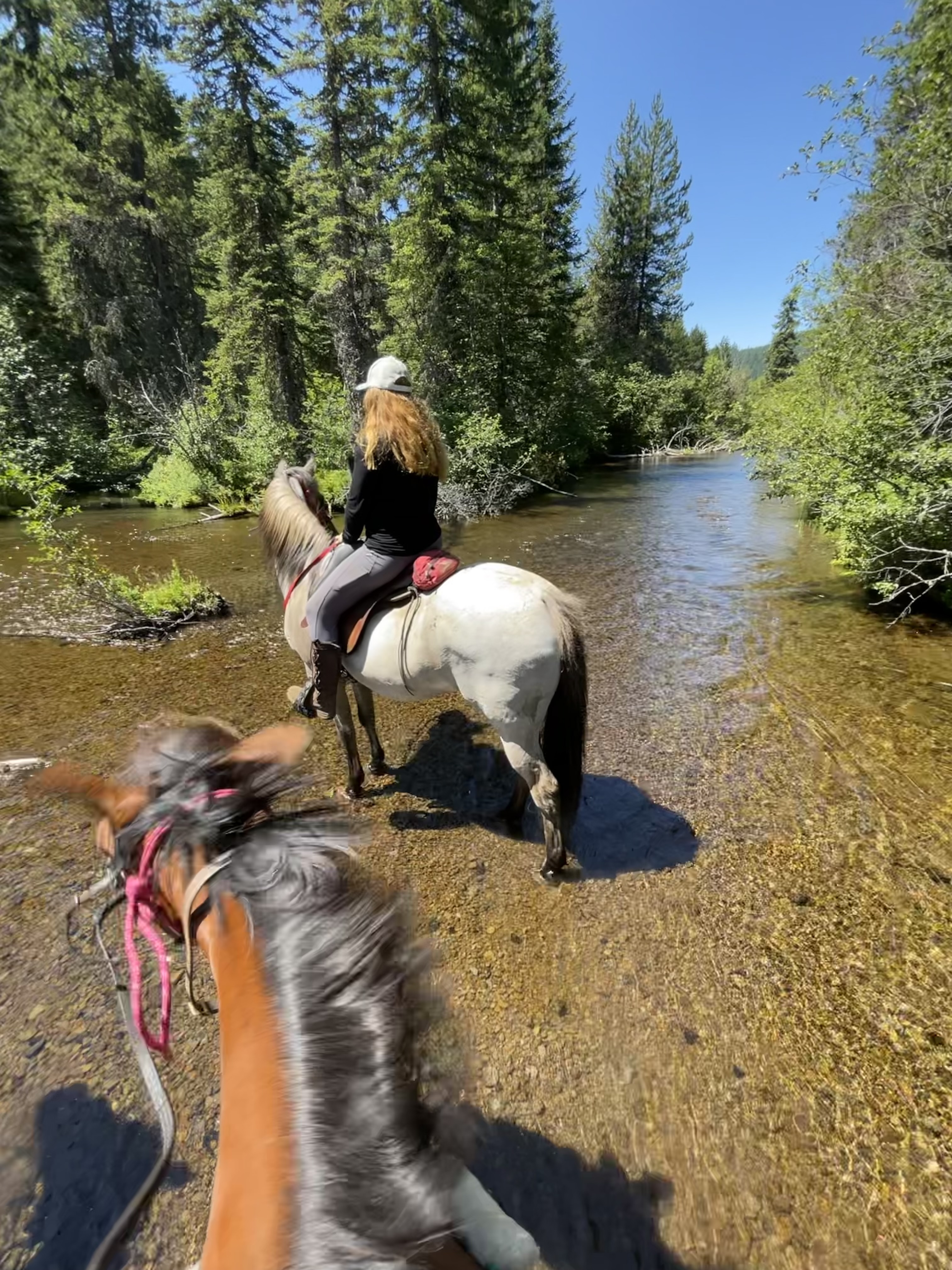
Water Sources: Stock water available at campgrounds. None at day use parking. Limited lake shore access for watering. Some creeks available along the trail.
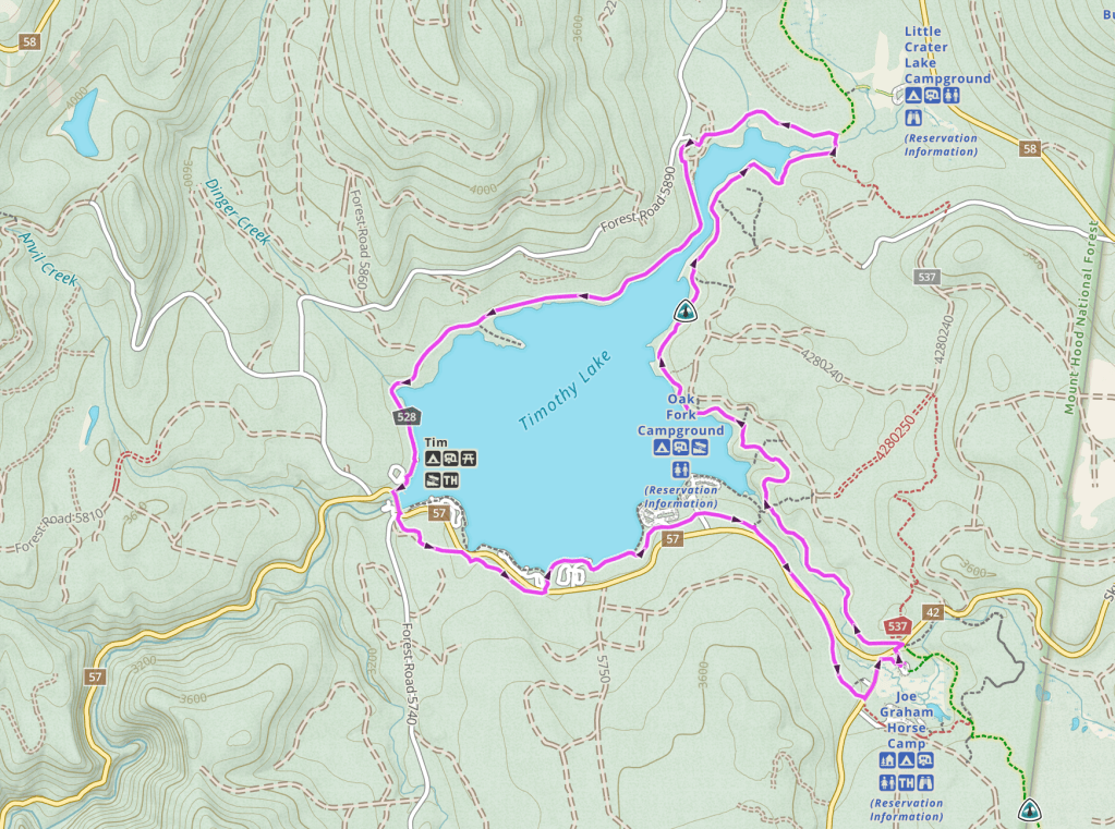
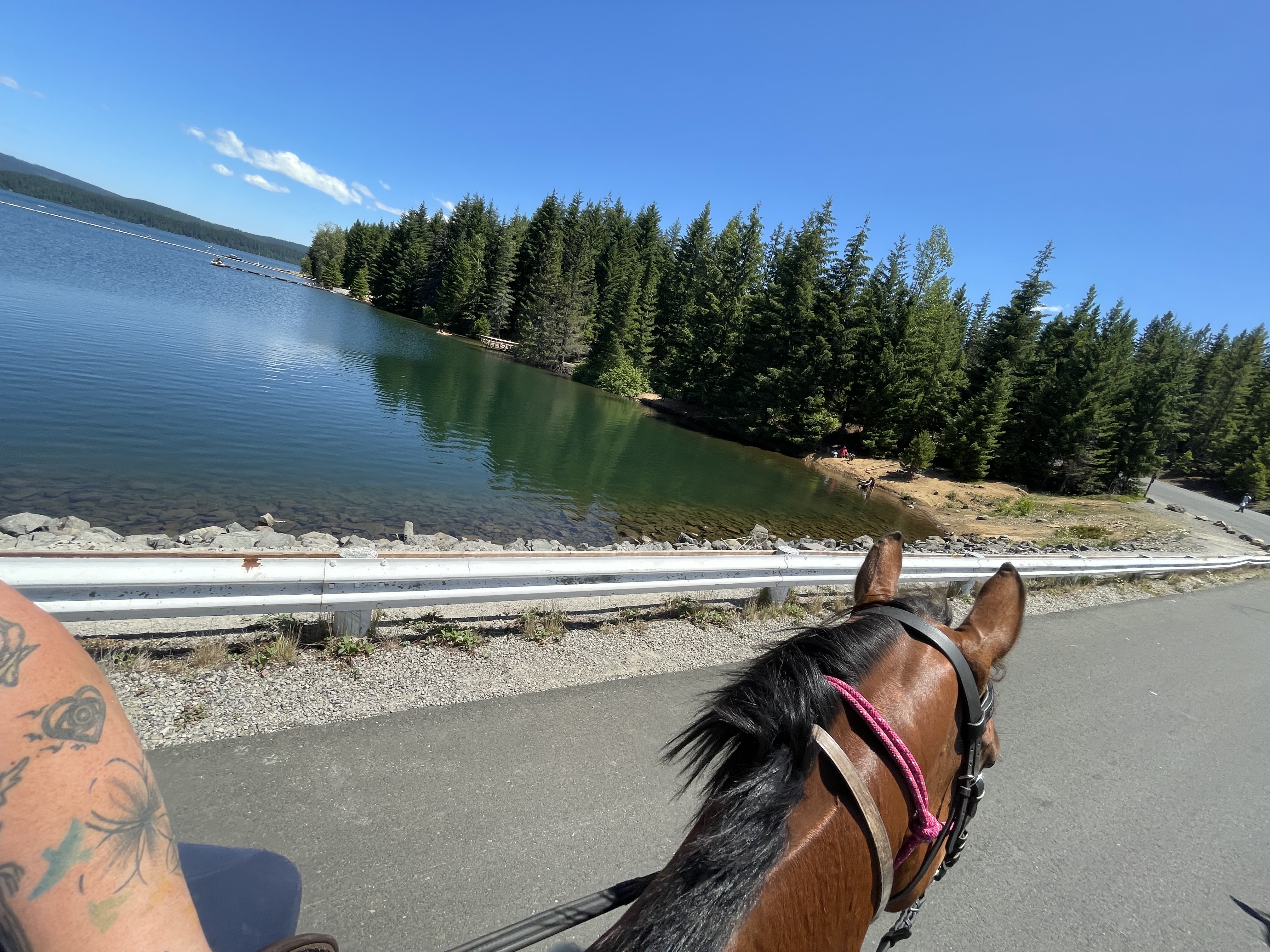
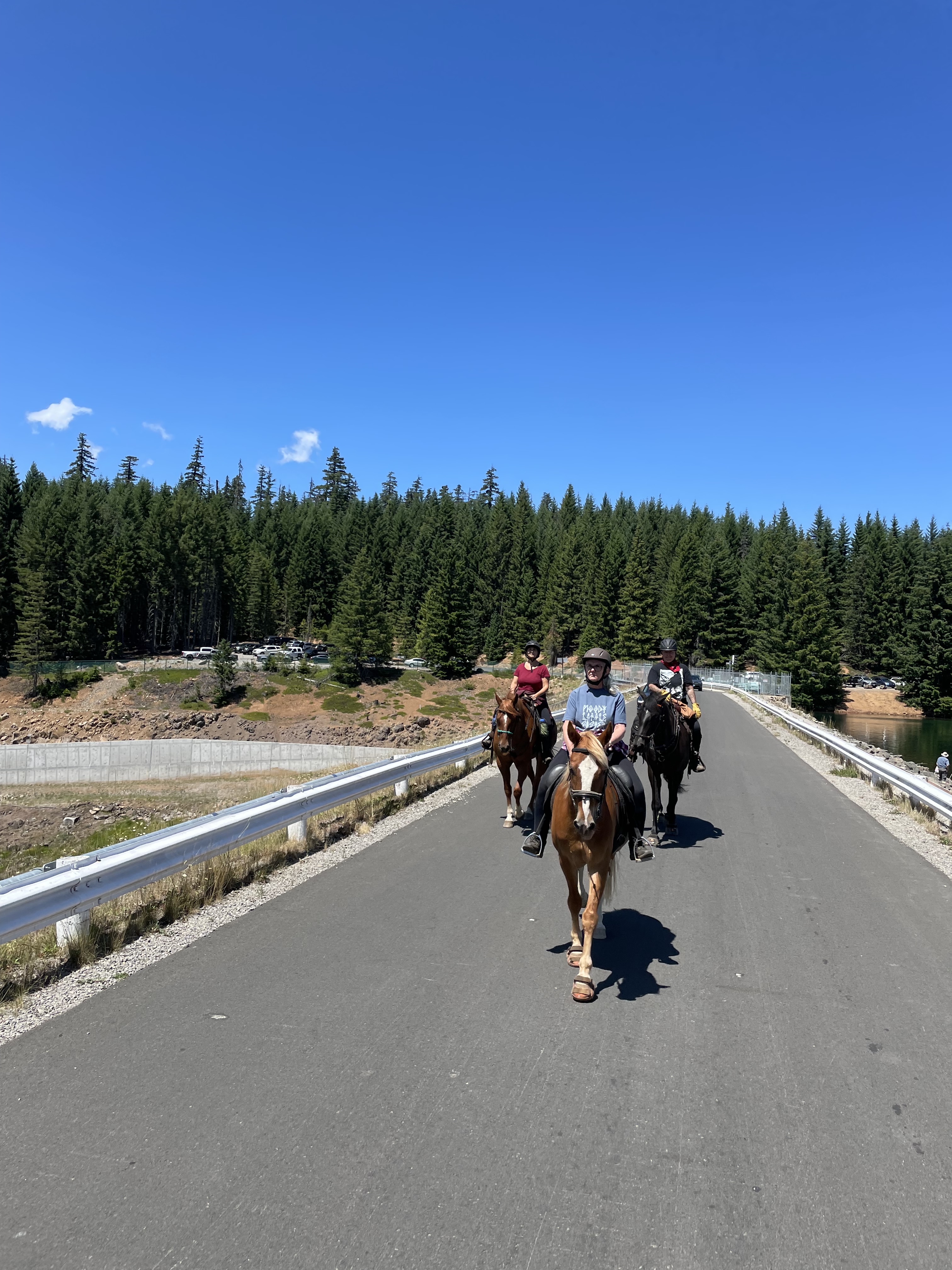
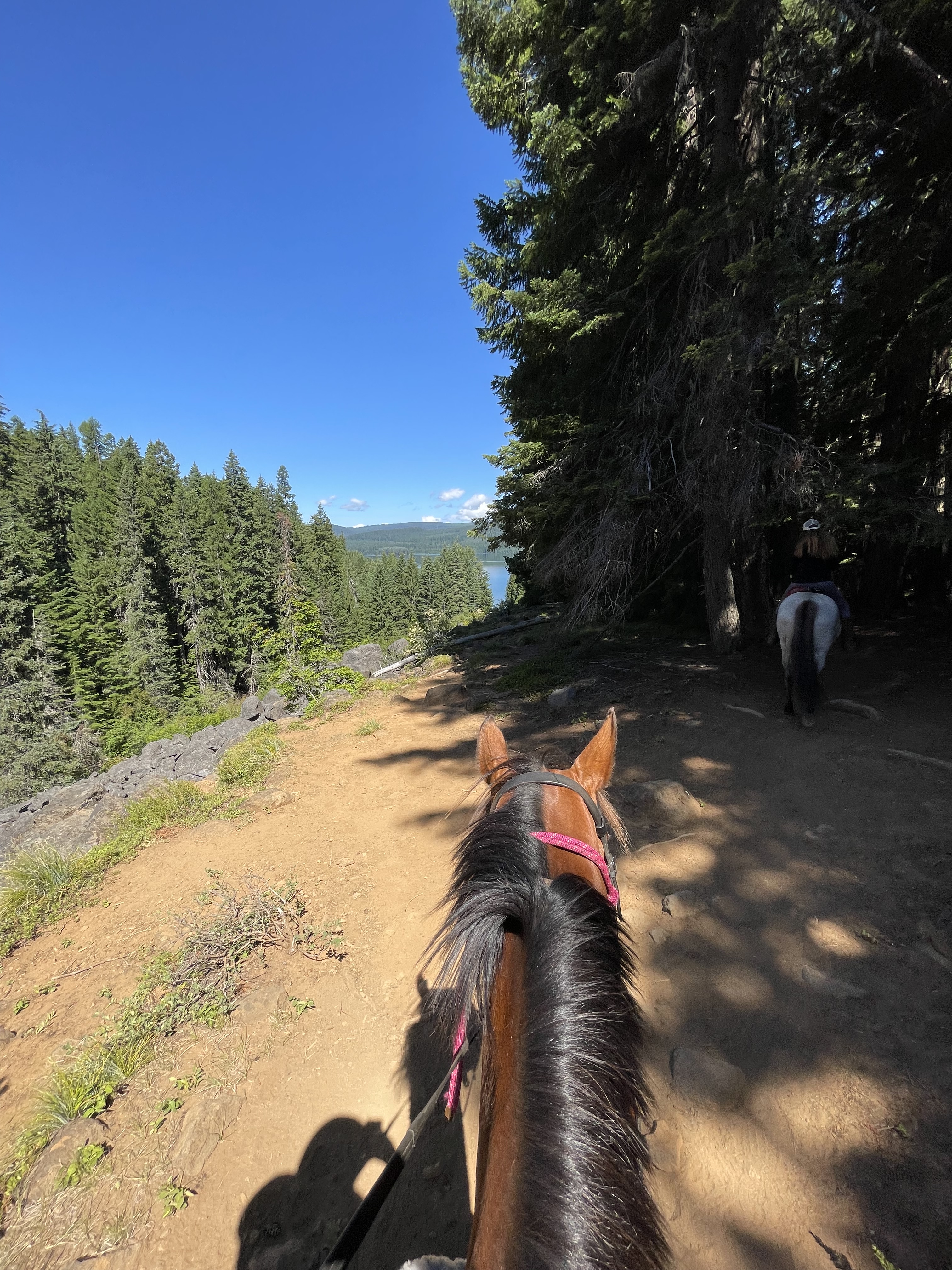
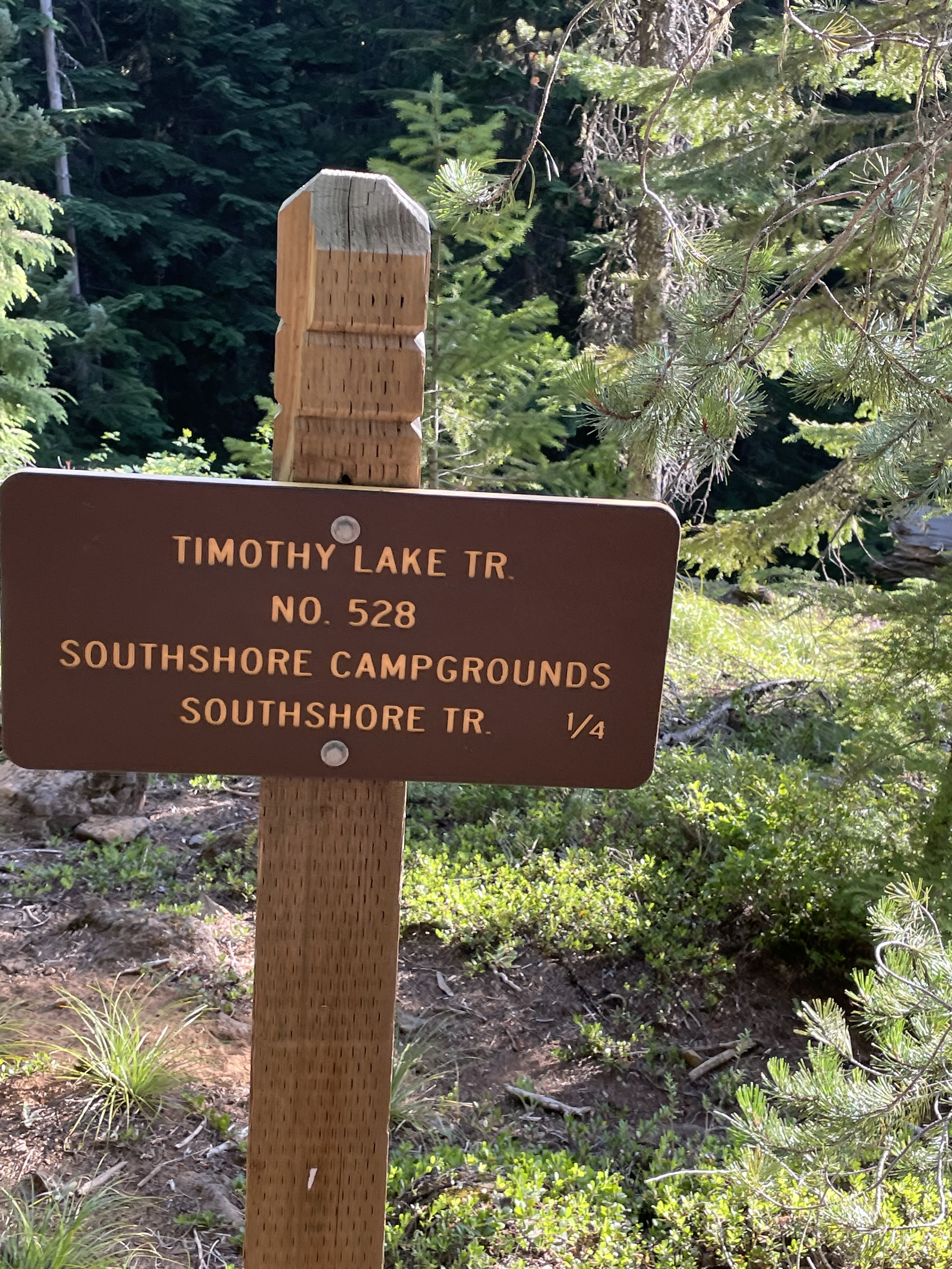
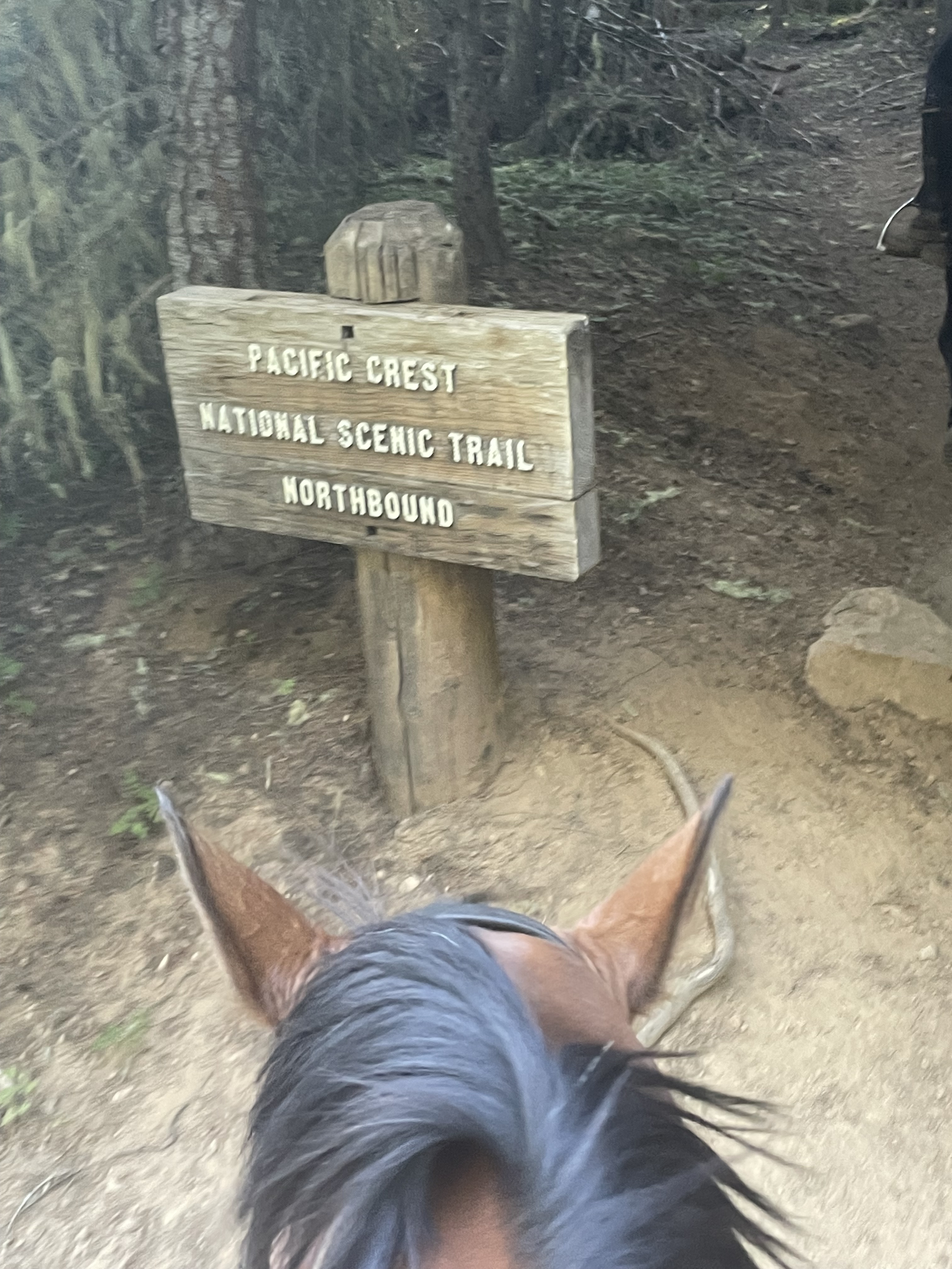
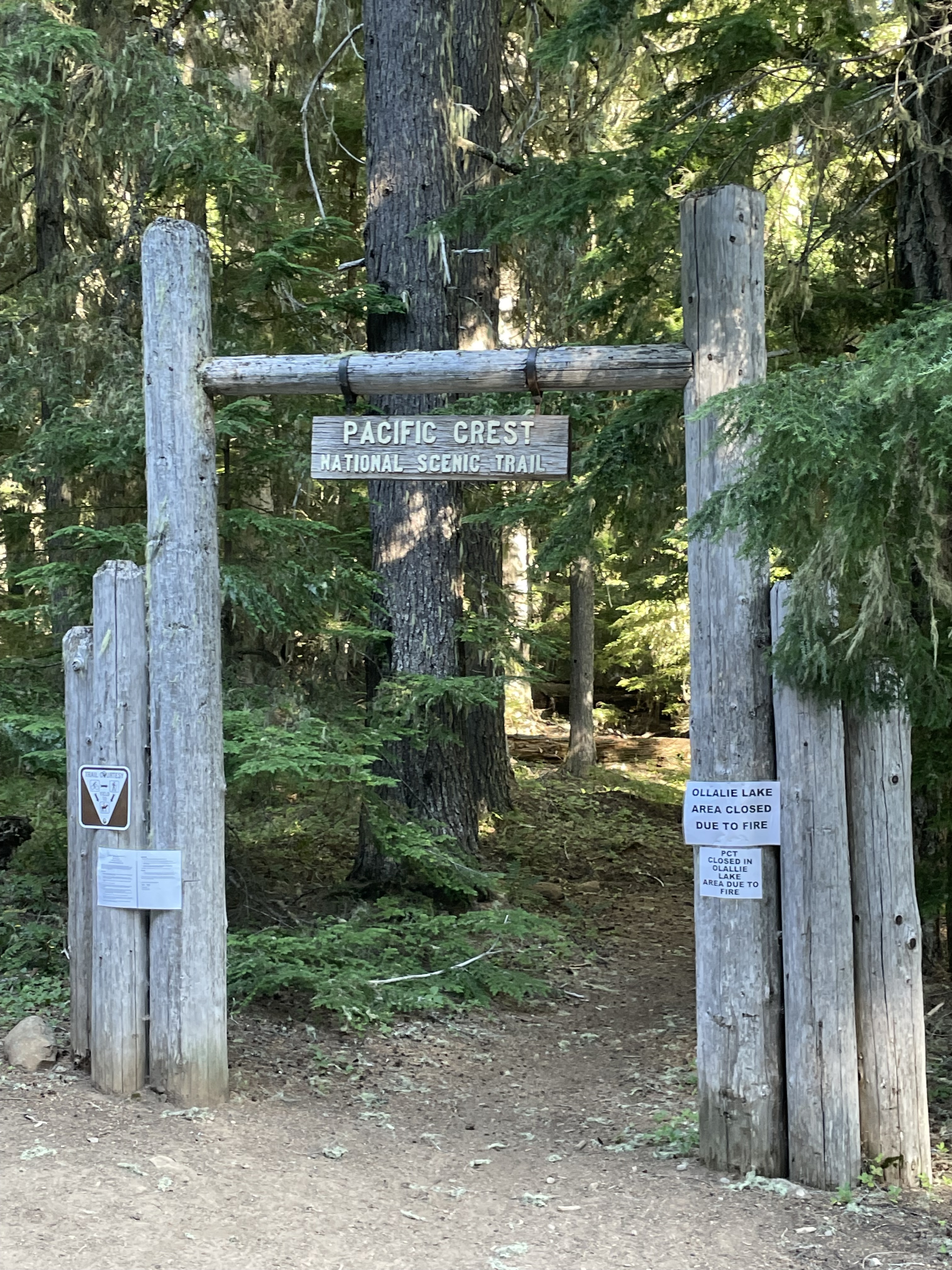
Trail Info: From the PCT Trailhead – head north on the Pacific Crest Trail for 5 miles. At the junction, you can ride an additional 0.4 miles north to tie your horse up and hike the 0.2 miles to view Little Crater Lake. If not, veer left onto Timothy Lake Trail for 4.4 miles until you come to the Forest Road 57. Turn left onto the road and cross Timothy Lake Dam for 0.1 miles. At the junction with Forest Road 5740, turn left to continue on Timothy Lake Trail. After 1.1 miles, you will cross Forest Road 57 again and then continue on Timothy Lake Trail. After 1.7 miles you will arrive back at the Pacific Crest Trail. Turn right at this junction and ride south for 1.3 miles to arrive back at the trailhead.
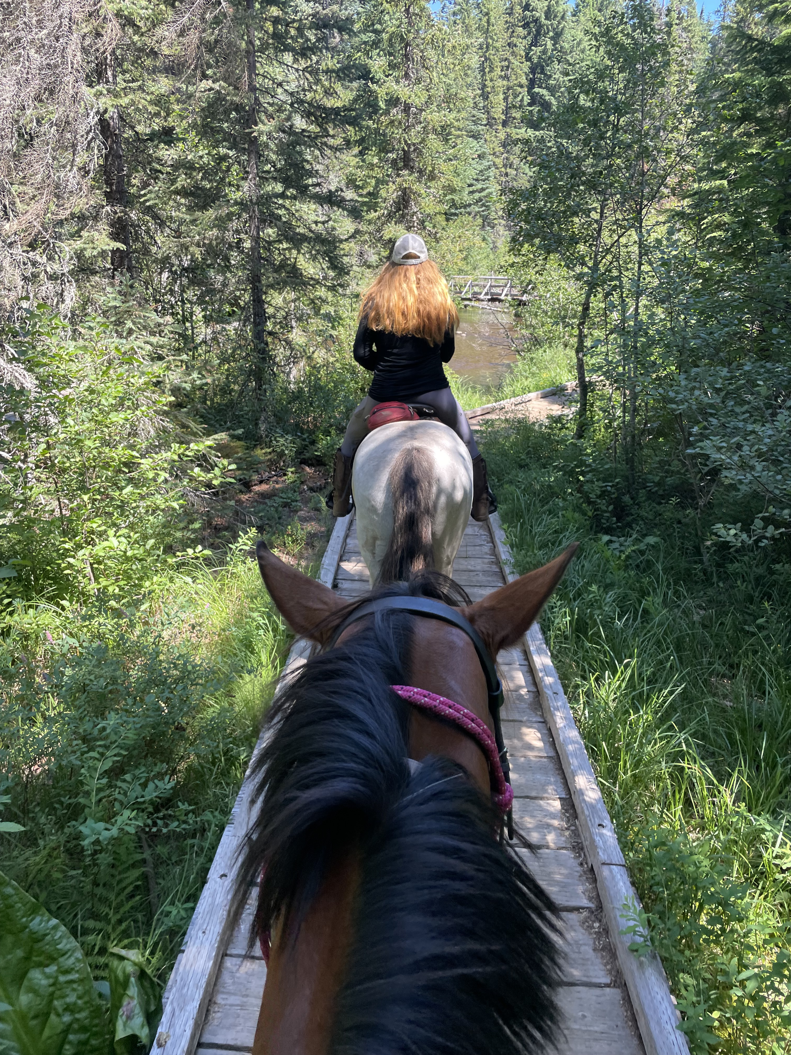
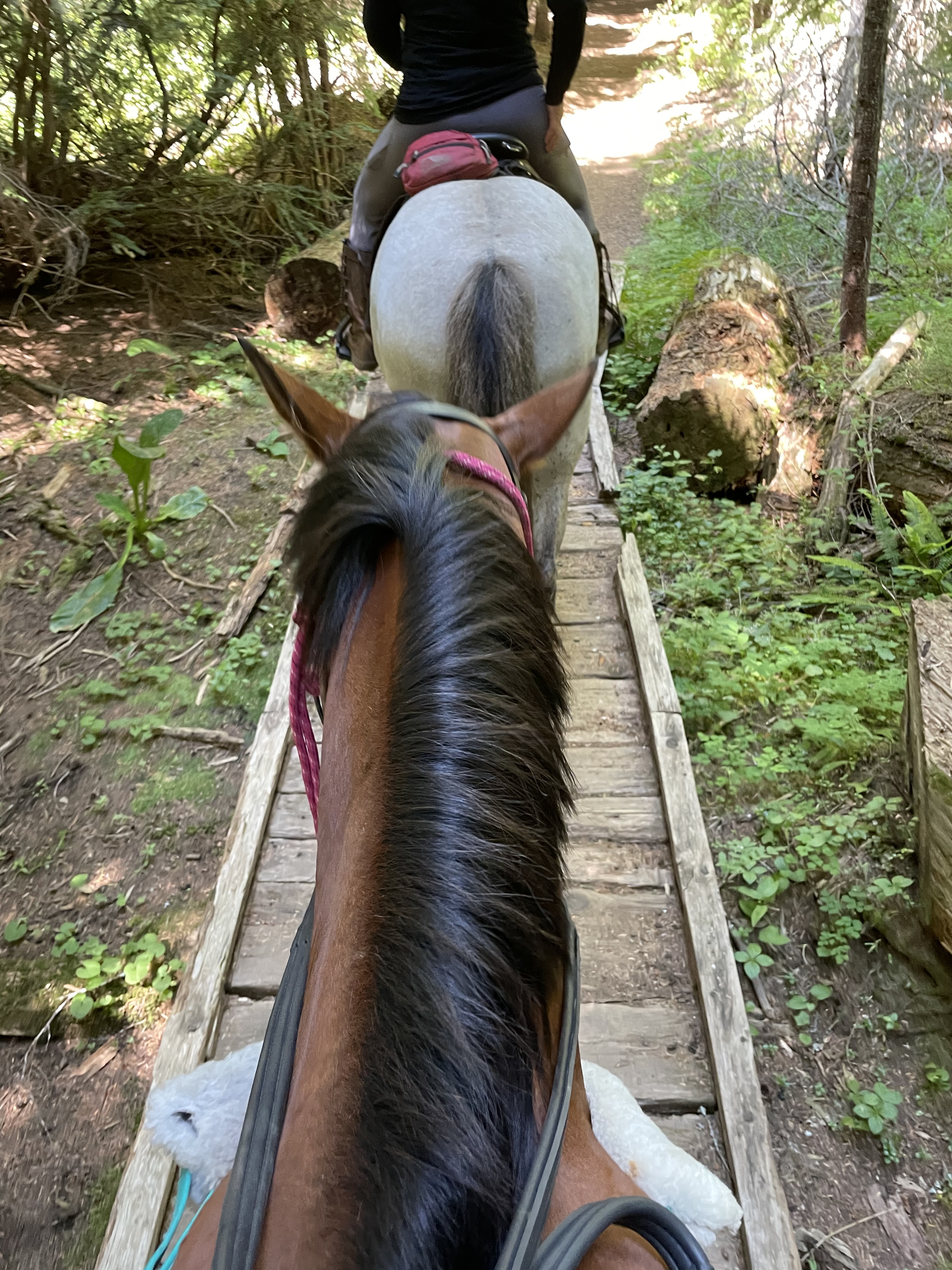
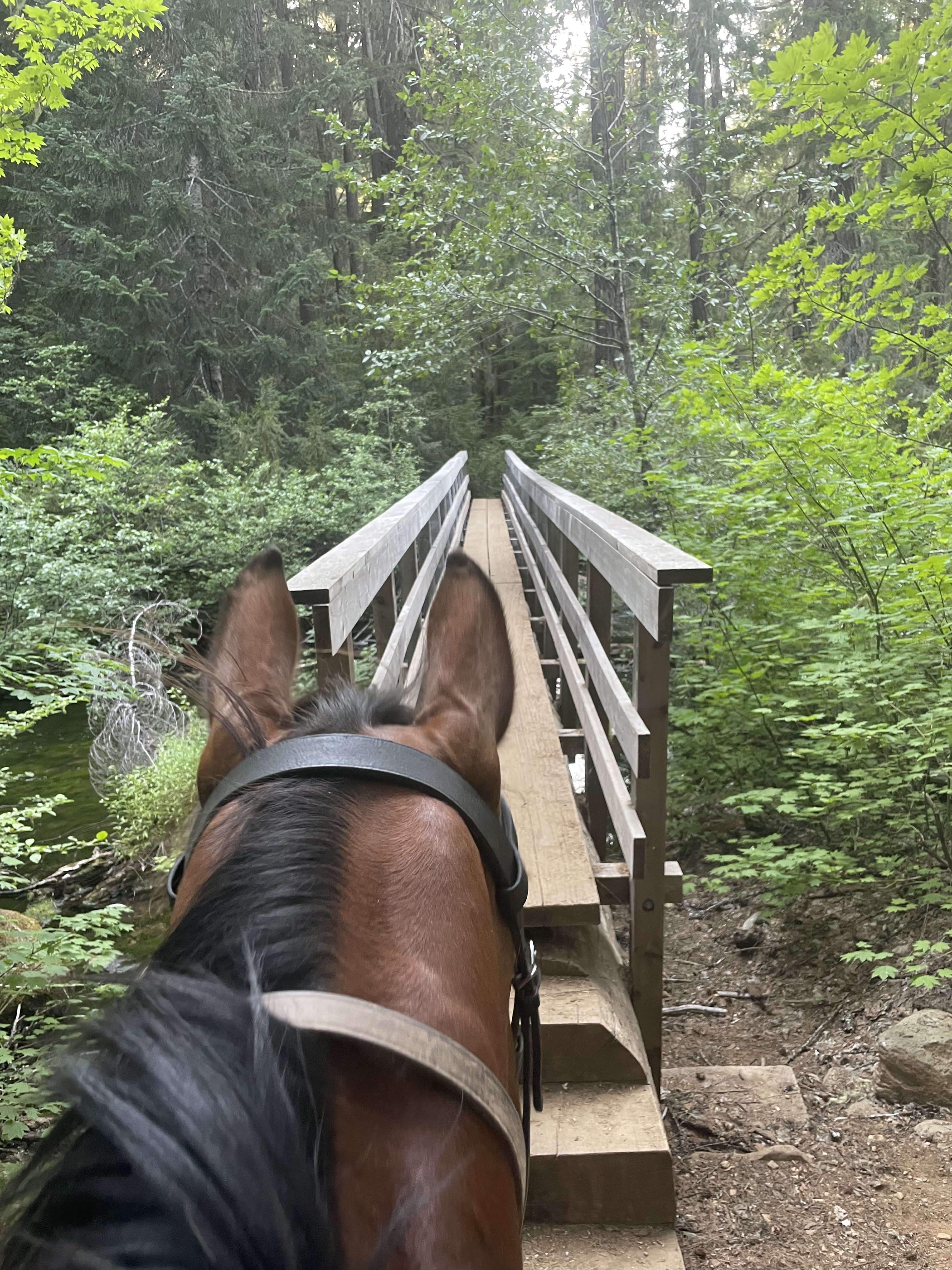
Trail Challenges: Bridges, PCT thru-hiker traffic in late summer, busy paved parking area over dam that you must cross, cliff/ledge, bees in late season, off trail tents from backpackers, busy campground setting on far side of lake where you may encounter kids, bikes, strollers, etc.
Permits: None.
Backcountry Sites: Not suitable for overnight use.
Cell Service: Verizon – extremely unreliable but there is an occasional signal.
Fuel: Chevron – 93770 US-26, Government Camp, OR 97028. This spot is pricey. If you have the ability, fill up in Sandy, OR for a lot less.
GPX File: OHT: Timothy Lake Loop
Maintained By: Back Country Horseman
Directions: From Sandy, OR – Follow US Hwy 26 for 40.2 miles east of Sandy to Skyline Road (Forest Road 42). Turn right onto Skyline Road (Forest Road 42) and follow it approx. 8 miles. Large pull out for day-use parking will be on the left at the Pacific Crest Trail Trailhead. Additional day use parking at Stone Creek Group Campground.
Resources:
Map:
← Back to Trail Catalog
← Explore more trails in the North Oregon Cascades area
If you’d like more PNW trails straight to your inbox, be sure to subscribe!

Leave a comment