Submitted by: Rachel Nastelin
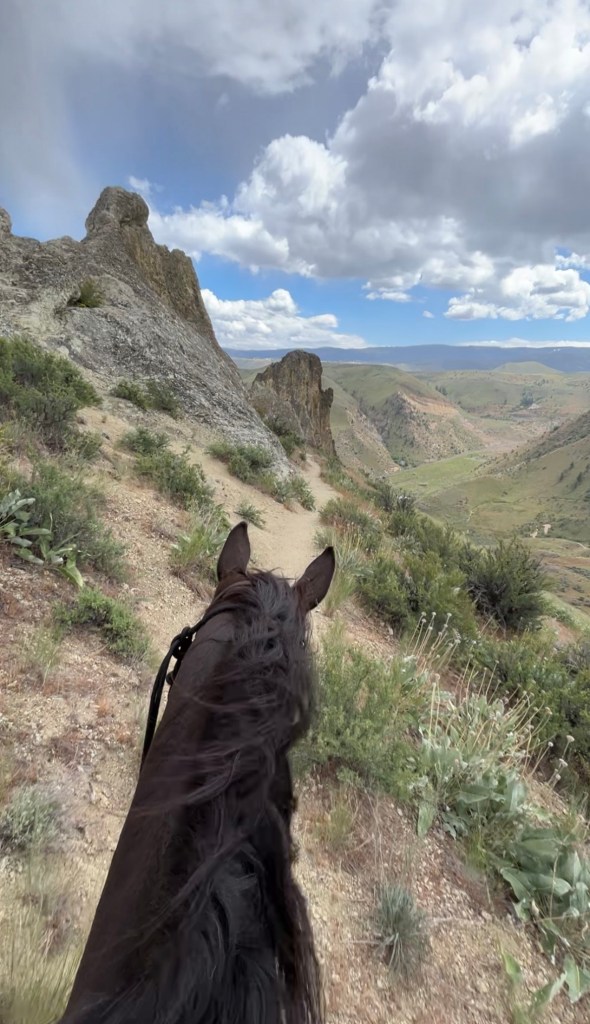
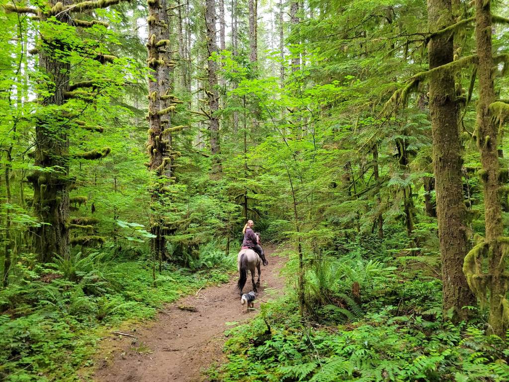
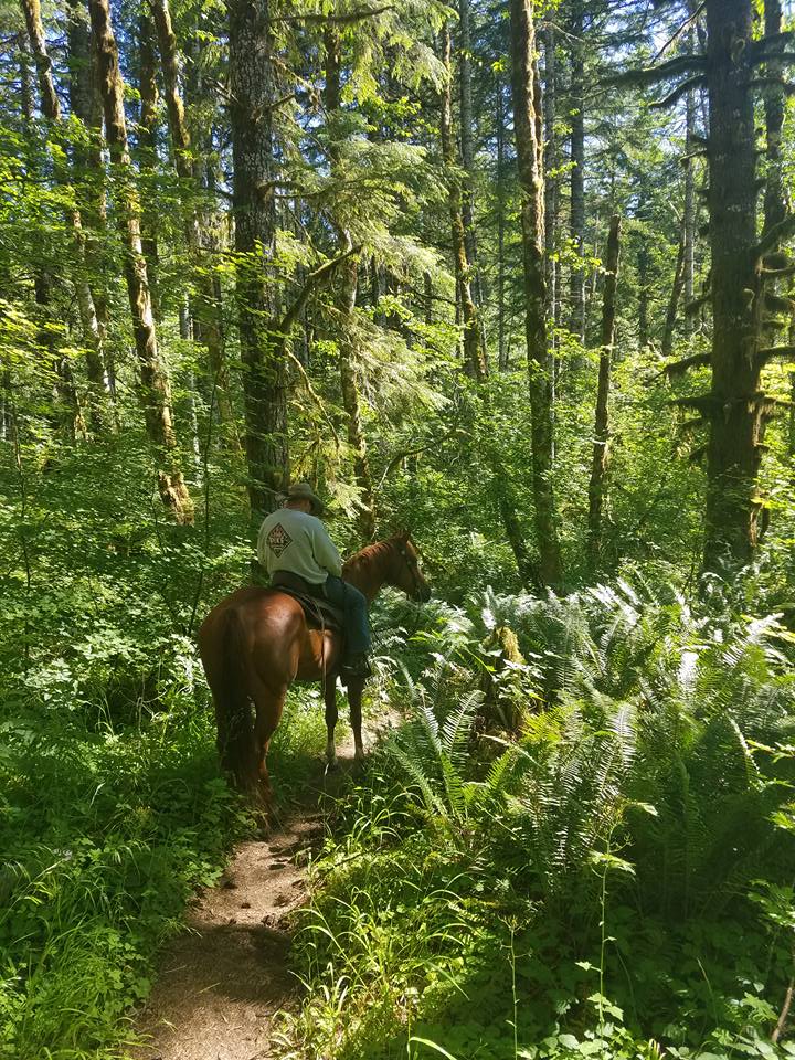
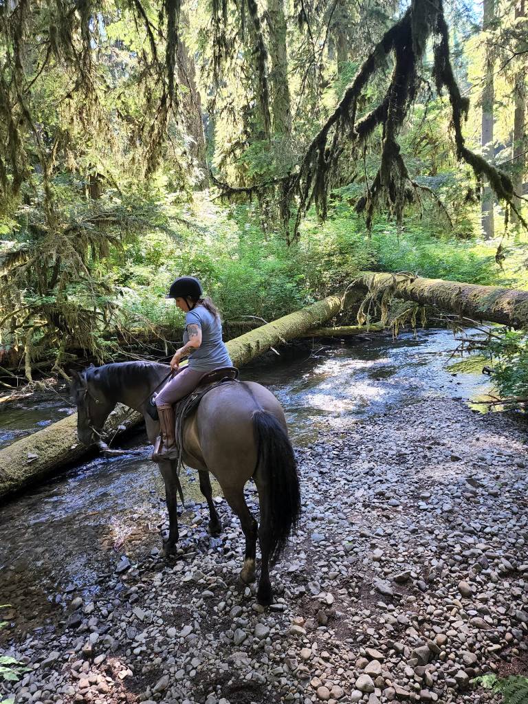
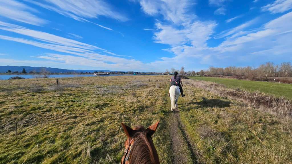
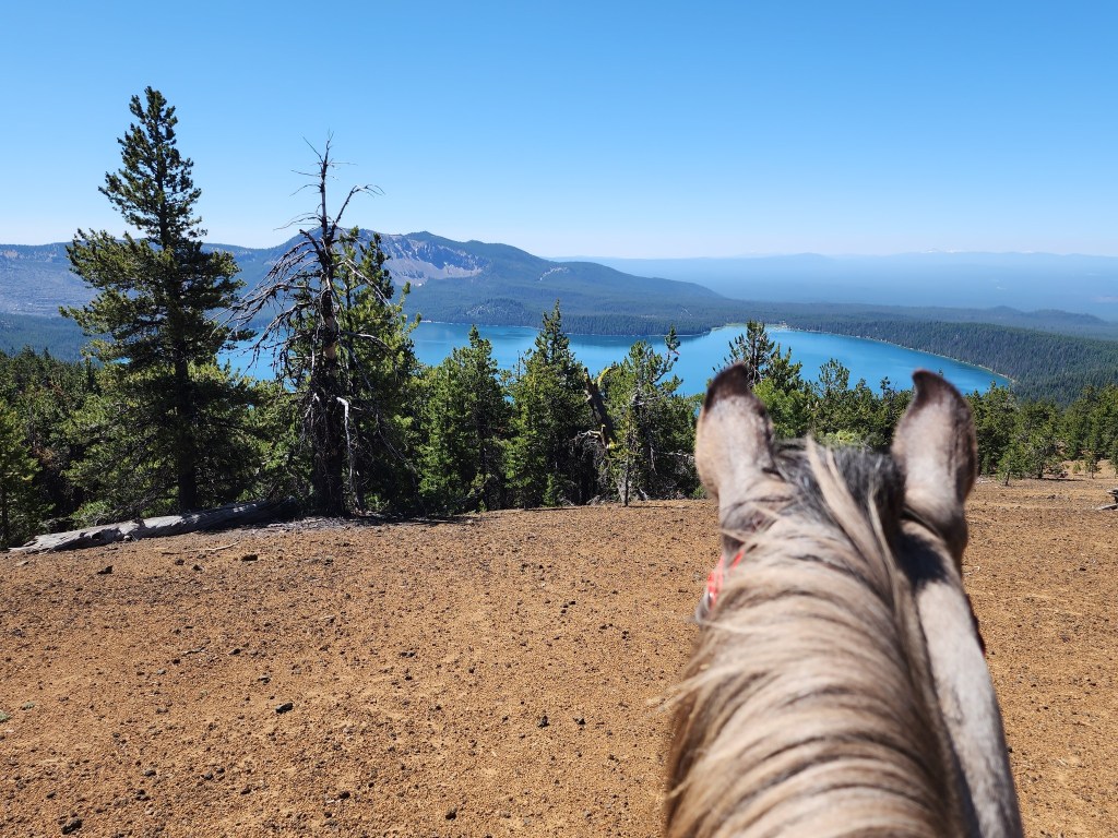
Saddle Rock Trail is located near Wenatchee, Washington. This trail lies within the Saddle Rock Natural Area and is open to equestrians for day use. A ride here in the spring will treat you to a colorful display of balsamroot, desert parsley, and lupine.
Attention: The saddle rock east trail is closed for trail improvements. expected opening is spring 2026. Saddle Rock Main Trail is still open. (1/5/26)
Trail Stats:
- 3.1 mile loop.
- Elevation Gain: 1,108 feet
- Elevation Loss: 1,105 feet
- Max Elevation: 2,024 feet
- Difficulty: Difficult – due to loose footing and steep grade.
↗ What does this mean? - Footing: Gravel, loose trail.
- Hoof Protection: Shoes/boots recommended.

Facilities: Trailhead has large parking area with hitching posts and bathroom. No camping allowed.
Water Sources: None.
Trail Info: Make sure to ride this loop COUNTER CLOCKWISE to avoid descending steep slopes of gravel. From the Saddle Rock Trailhead take the connector trail 0.1 miles until you reach Saddle Rock Main Trail. Continue on this for 0.2 miles until you reach the junction. At the junction, go left onto Saddle Rock East Trail for 1.1 miles. Stay straight onto Saddle Rock Traverse and continue 0.9 miles. At this point trail turns into Saddle Rock Main Trail, descend down the steep slope. After 0.7 miles you will arrive back to the connector trail. Go right for 0.1 miles and arrive back at trailhead.
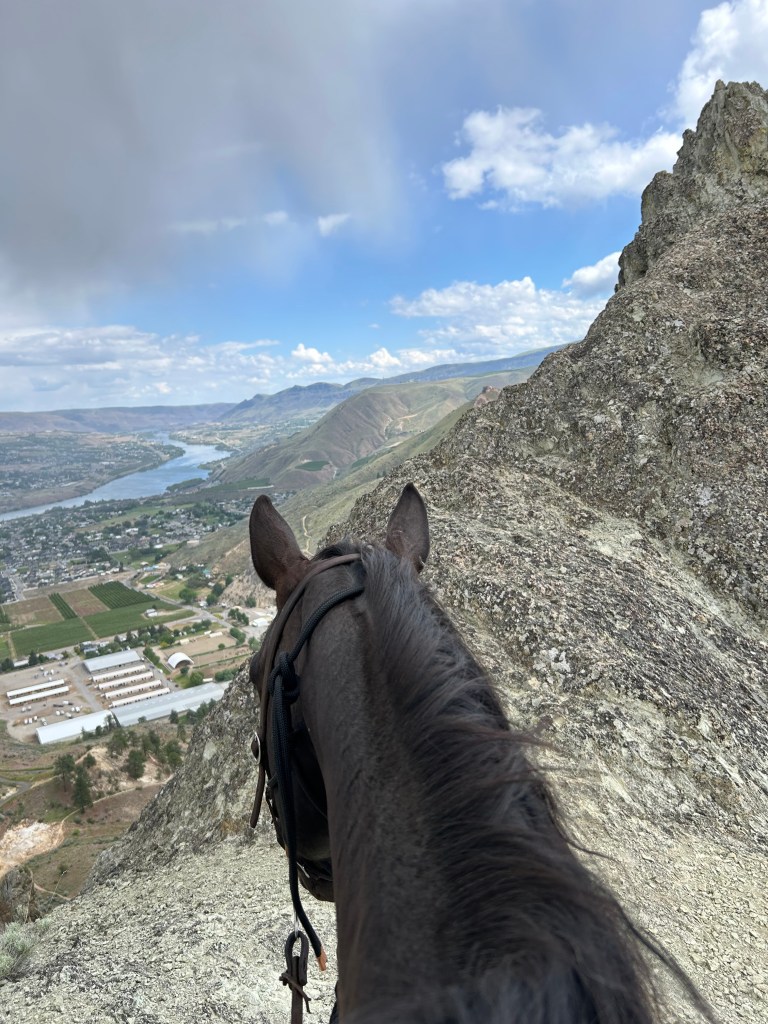
Real Life Notes from the Contributor: The whole trail has spectacular views and the view from the top is truly unforgettable. However, the climb to get there is a little harrowing due to steep slopes and loose gravel. I went the wrong way around the loop and had a really tough time coming back down. The trail is just one path until it splits and becomes a loop. When you get to the split, All Trails will tell you to go left, but with a horse, you need to go right. To the right, the grade rapidly reaches 28%, and you want to take that going uphill, not downhill. Especially when you factor in the loose gravel. This way, you will still have to deal with the -28% grade going back down the main part of the trail, but that part has better footing than the loop does, plus the steep grade doesn’t last as long. At the top, the loop connected to other trails which I did briefly explore and really enjoy. Once you’re up there, it’s not so scary, aside from the steep cliff.
Despite such fond memories of this trail, I don’t think I’d do it again without a mule, but brave horse owners should definitely consider it. It did look like there were other horse trails stemming off the same parking lot, and I saw plenty of other riders, but I didn’t see any other riders on the saddle rock portion.
Trail Challenges: Cliffs, steep trail, loose footing, leashed dogs, sun exposed/no shade and mountain bikes.
Permits: None.
Backcountry Sites: Not suitable for backcountry use.
Cell Service: Unknown but likely due to proximity to Wenatchee.
Fuel: 7-Eleven – 925 S Mission St, Wenatchee, WA 98801
GPX File: WHT: Saddle Rock Trail
Maintained By: City of Wenatchee & Chelan-Douglas Land Trust
Directions: From Wenatchee, drive south on South Miller Street. Drive until the end of the street. The road curves right and becomes Circle Street. Stay on this road, passing some horse stables, and the road curves left and you reach an entrance to two large paved parking lots.
Turn right for Saddle Rock Trailhead parking lot. There are 27 regular parking spaces and four disabled parking spaces. If this parking lot is full, you can park in Dry Gulch parking lot just adjacent to the Saddle Rock parking lot, where there are 52 regular parking spaces.
Resources:
- Chelan-Douglas Land Trust – Saddle Rock Trails – review for current trail closures.
Map:


If you’d like more PNW trails straight to your inbox, be sure to subscribe!

Leave a comment