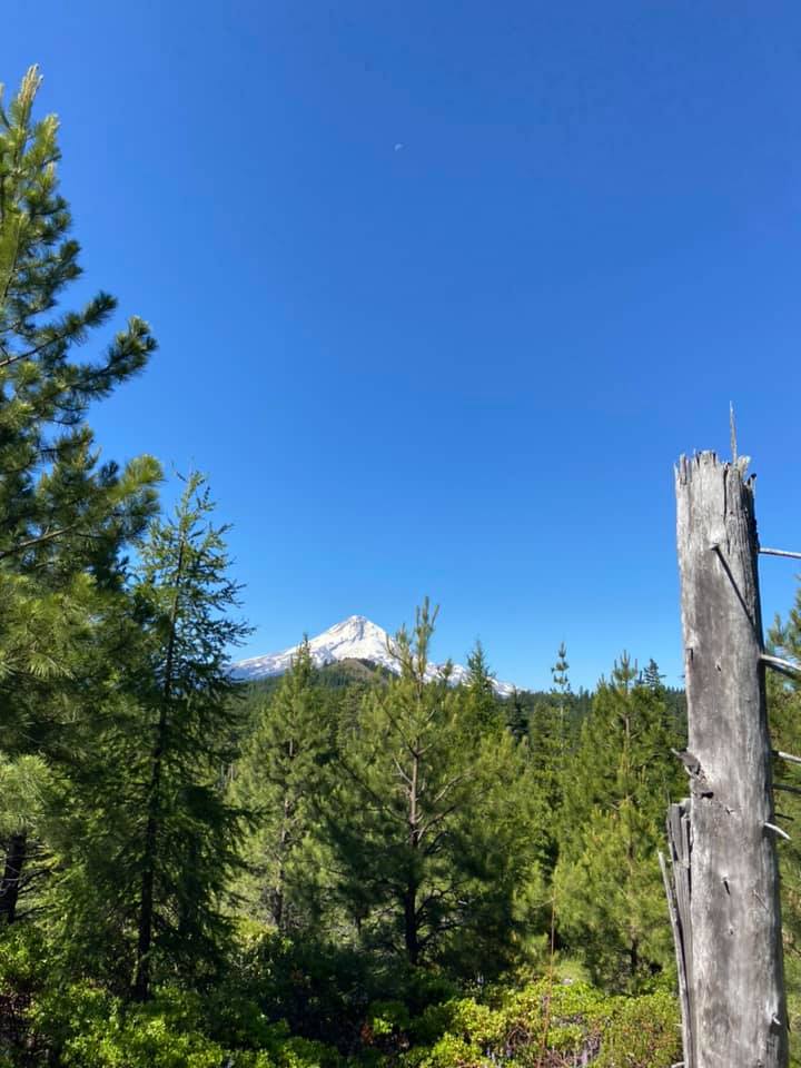
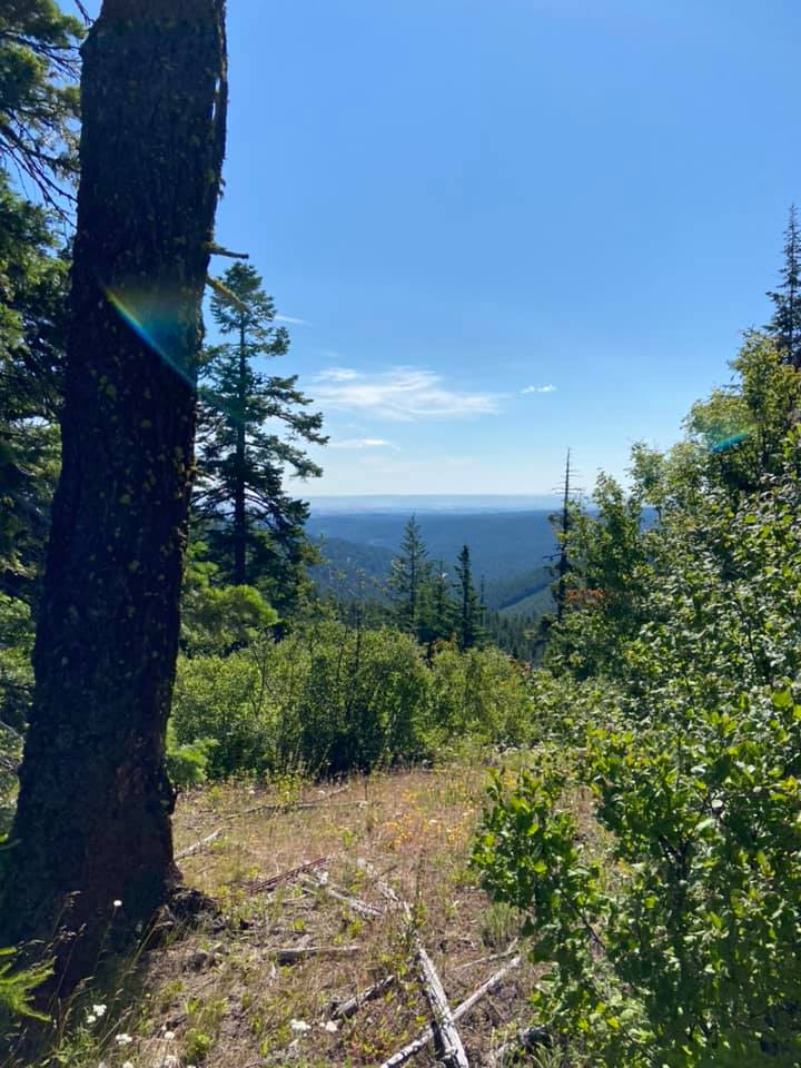
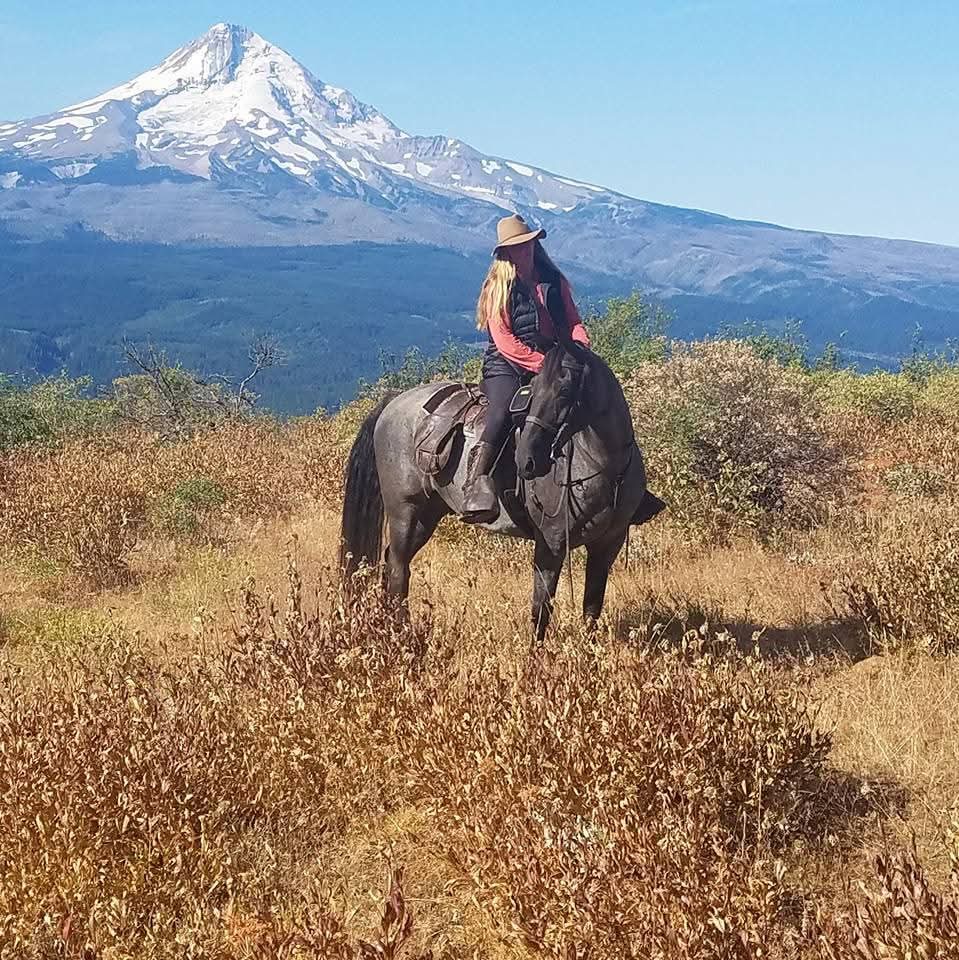
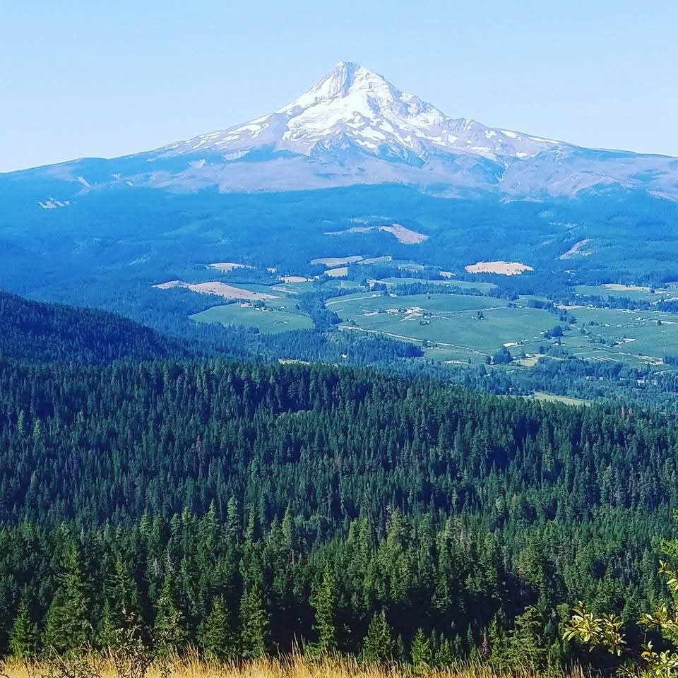
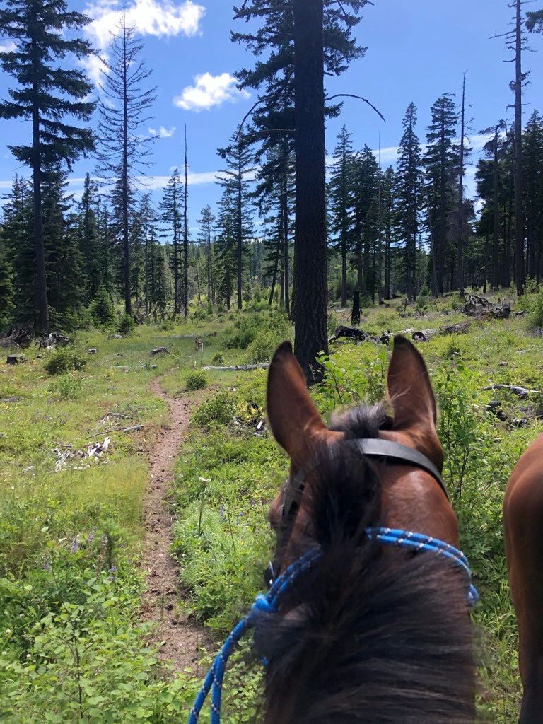
An underused camp in Mount Hood National Forest, Gibson Prairie offers both forested and ridgeline trails. The camp is located within two hours of Portland, Oregon and overnight camping is free. Enjoy easy forest trails or venture out onto Surveyors Ridge for a long ride packed with views.
Camp Overview
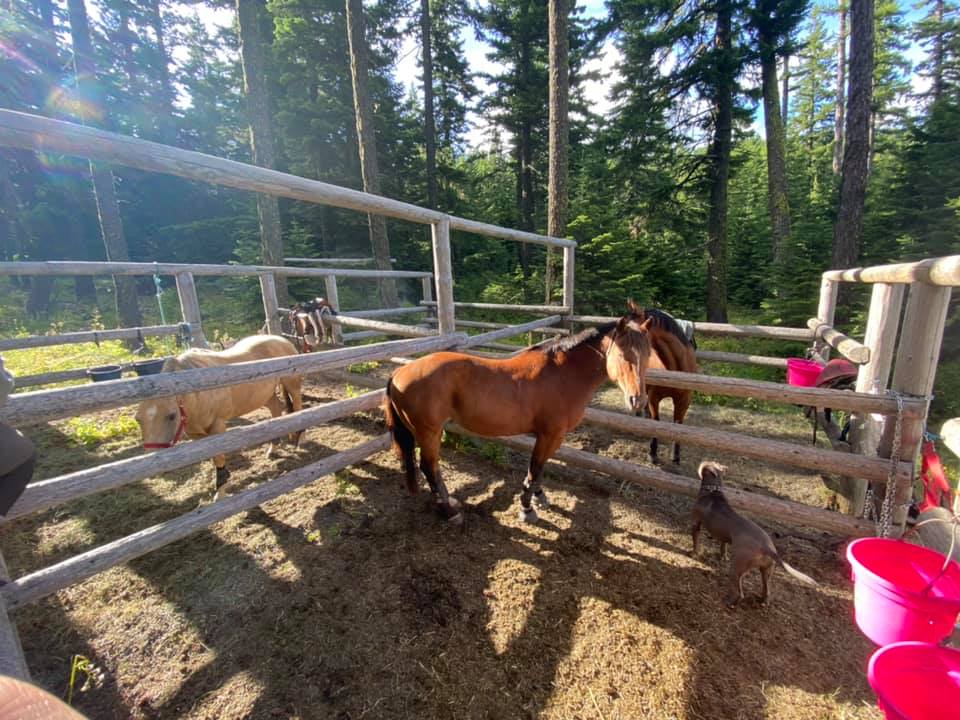
Campsites: 3 sites with 4-horse corrals, 2 unofficial sites without corrals.
Fees: Free.
Permits: None.
Popularity: Low use.
Elevation: 3,950 feet
Season: May – Early October
Cell Service: Verizon – good coverage. ATT – spotty.
Getting There
Directions: From Government Camp, OR: Take US Hwy 26 east for 2 miles then head north on OR Highway 35 for 13.5 miles. Turn right (east) on Forest Service Road 44 (Brooks Meadow Road) and follow for 5.7 miles. Go left (north) on Forest Road 17 (Surveyors Ridge) and follow 5.6 miles to the campground.

Google Directions: Map Link
GPS Coordinates: 45.48223, -121.52367
Road Conditions: Paved, then gravel.
Gas Station: Pine Grove Pit Stop – 2385 OR-35, Hood River, OR 97031
Amenities & Camp Details
Stock Containment: Corrals or bring your own.
Stock Water: Yes, stock tank but its a walk out of camp.
Potable Water: No.
Manure Bin: Yes.
Trash/Dumpster: No – pack it out.
Bathroom: Yes – vault toilet.
Day Use Parking: No – use Gibson Prairie Trailhead.
Reserving Your Spot
Reservations: First come, first served.
Check In/Check Out: N/A
Site Specifics:
Site 1: 4-horse, back in
Site 2: 4-horse, back in
Site 3: 4-horse, back in
Site 4: Primitive site.
Site 5: Primitive site.
Nearby Trails & GPX Tracks:
OHT: Surveyors Ridge (Southbound)
OHT: Surveyors Ridge (Northbound)
Additional GPX tracks are needed! If you have ridden this area and have tracks of the Horseman’s Trails please consider sharing so that other users may safely navigate. Upload button below!
Thank you for your response. ✨

Nearby Dispersed Camps
None known.
Backcountry Camp Options
Unknown, if you have backcountry campsite info please email adventure.equines@gmail.com
Specific Trail Map
The Horseman’s Trails unfortunately don’t show on current maps. There was an app that was available for people to download for offline use for these trails but it appears to no longer be available. If you have GPX tracks, please submit them so that are users can safely navigate these trails. Until then – here is a downloadable PDF map of the area.
Additional Resources
- USFS Camp Status Page
- NW Horse Trails – Gibson Prairie Horse Camp
- NW Horse Trails – Horseman’s Trails
- NW Horse Trails – Surveyors Ridge North
- Holly’s Horse Trails and Tales
Camp Land Manager & Contact Info
USFS – Hood River Ranger District
6780 Highway 35
Parkdale, OR 97041
(541) 352-6002


If you’d like PNW trails, camps and backcountry information delivered right to your inbox, subscribe below so you don’t miss out!

Leave a comment