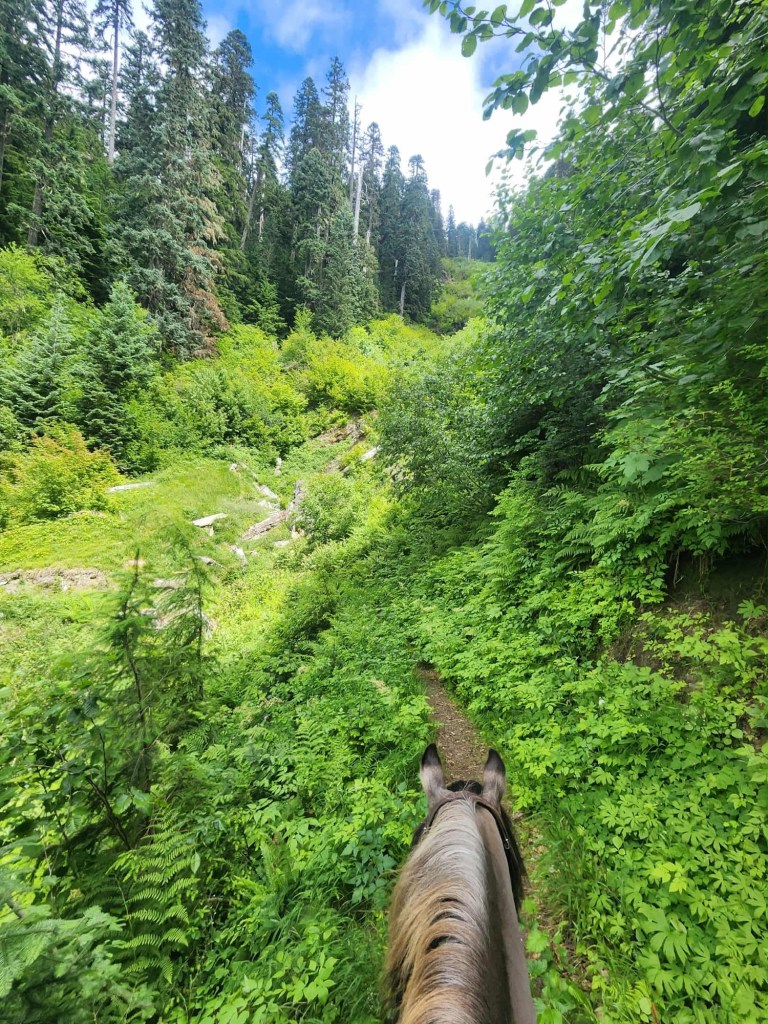
The Cinnamon Trail starts from Kalama Horse Camp in Southwest Washington’s Gifford Pinchot National Forest. Leading up to an expansive ridge with narrow tread, it looks over Mount St. Helens National Monument offering big views as the pay off. This trail is for experienced pairs only. Several accidents have been reported along this trail. Use caution.
ATTENTION: This trail is currently CLOSED due to fire damage. 1/2/26
Trail Stats:
- 15.8 miles out and back
- Elevation Gain: 5,763 feet
- Elevation Loss: 5,769 feet
- Max Elevation: 3,984 feet
- Difficulty: Challenging
↗ What does this mean? - Footing: Dirt, ash – single track.
- Hoof Protection: Shoes/boots recommended.

← Back to Trail Catalog
← Explore more trails in Southern Washington Cascades
Facilities: Kalama Horse Camp
Water Sources: Kalama Horse Camp
Trail Info: Leave camp from the Toutle/Fossil Trailhead. Starting on the Toutle Trail ride 0.1 miles. At the fork veer right onto Kalama Ski Trail for 0.2 miles. At the next junction stay left and follow Cinnamon Trail for 7.6 miles. Return the way you came, or return via Toutle Trail for an easier return loop.
Trail Challenges: Steep trail, 5k+ elevation gain, bridge/creek, narrow tread, drop offs.
Permits: None.
Backcountry Sites: Not suitable for overnight use.
Cell Service: Verizon – no coverage.
Fuel: Lakeside 24 Hour Fuel – 16835 Lewis River Rd, Cougar, WA 98616
GPX File: WHT: Cinnamon Trail
Maintained By: BCHW – Mt. St. Helens chapter
Directions: From Woodland, WA: Take State Route 503 east for approximately 28 miles to Forest Road 81. Take a left on Forest Road 81 towards Kalama Horse Camp Recreation Area. Follow Forest Road 81 North for approximately 8 miles.
Resources:
Map:

← Back to Trail Catalog
← Explore more trails in Southern Washington Cascades


If you’d like more PNW trails straight to your inbox, be sure to subscribe!

Leave a comment