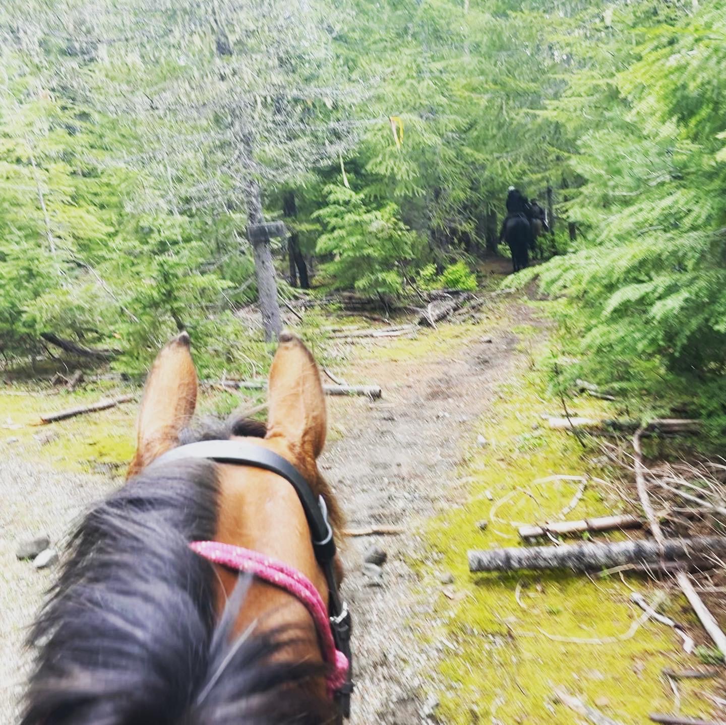
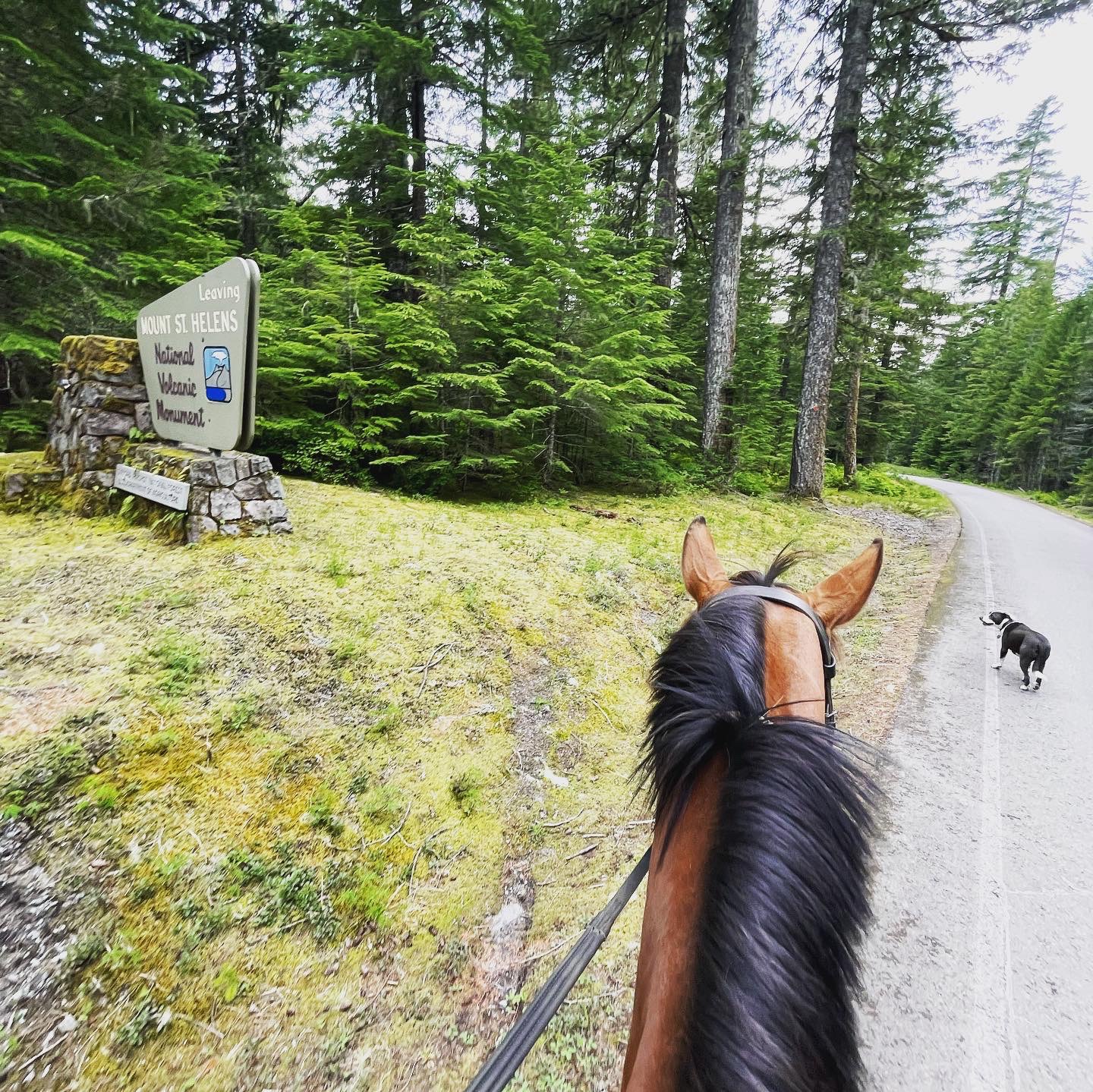
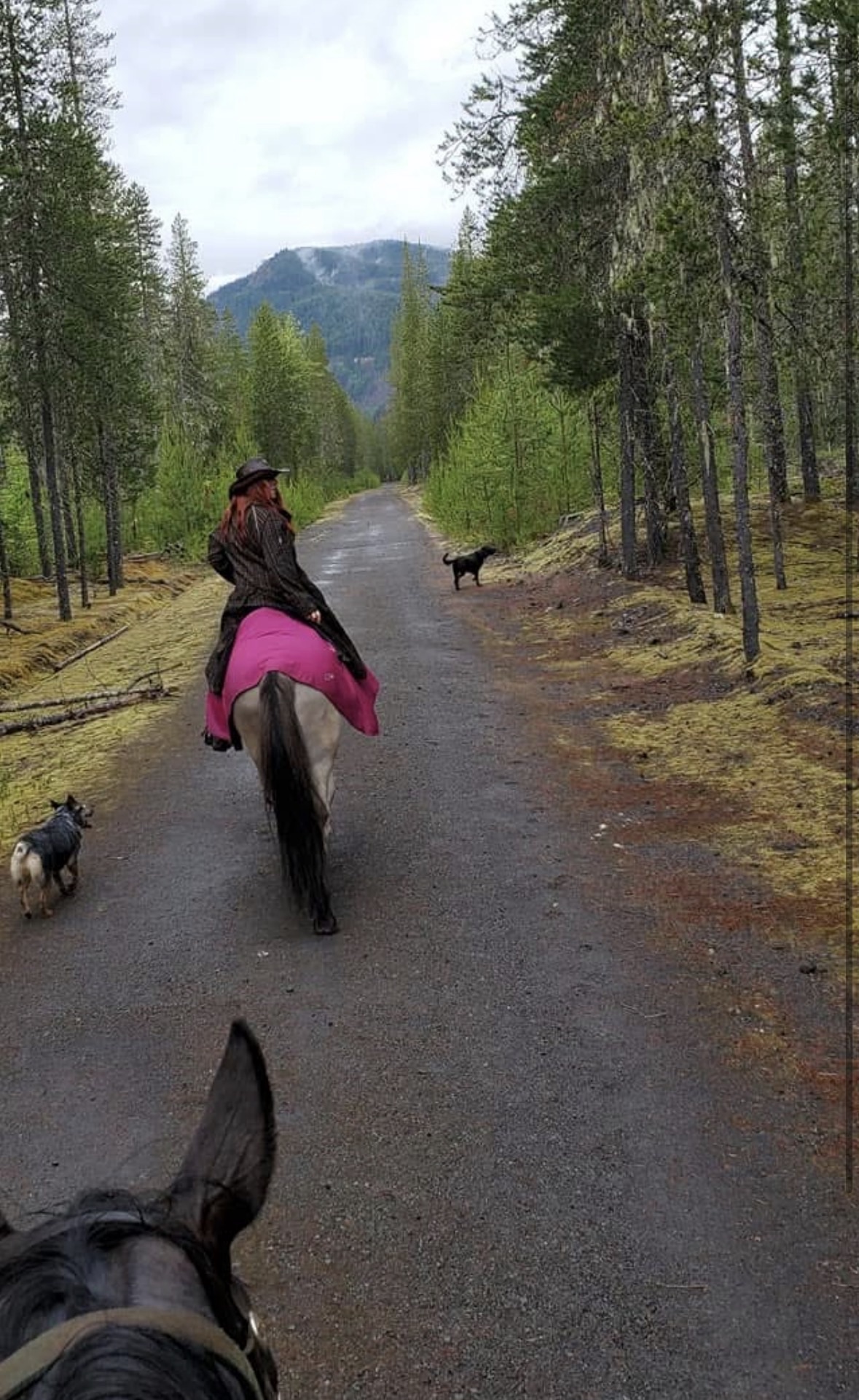
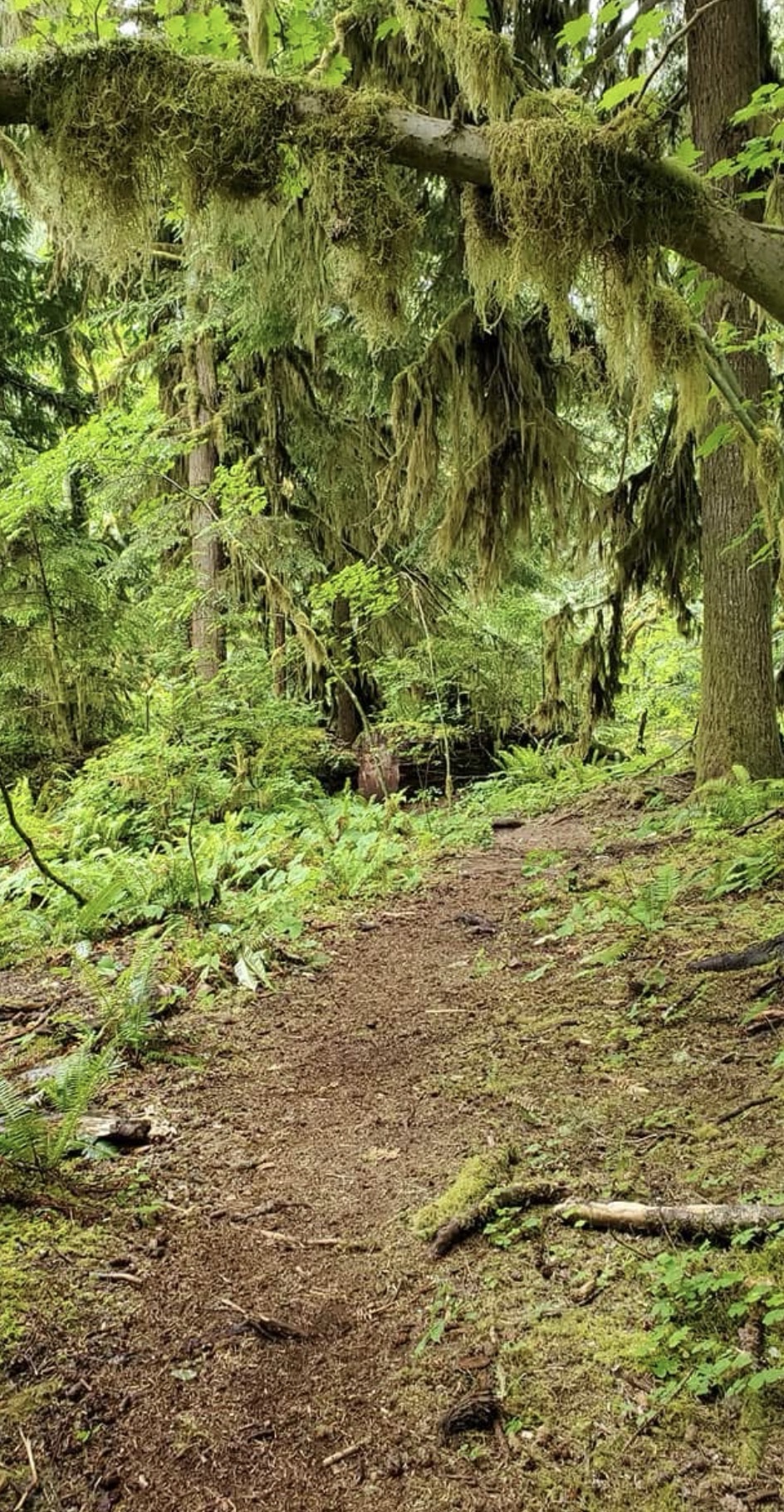
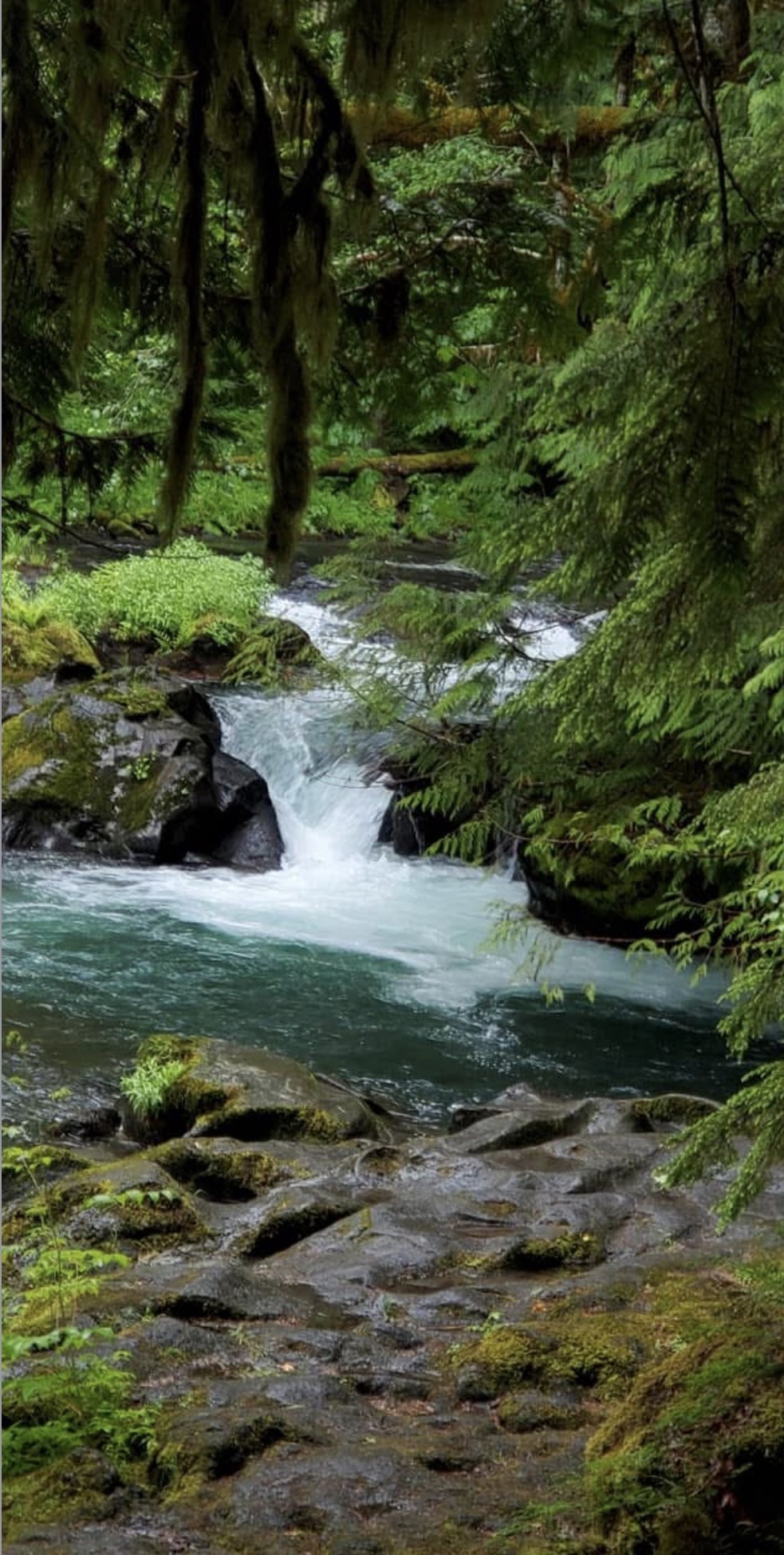
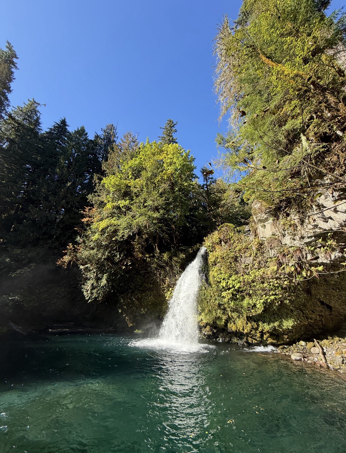
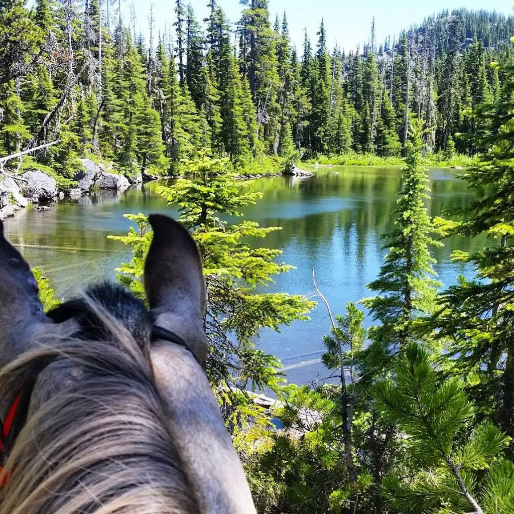
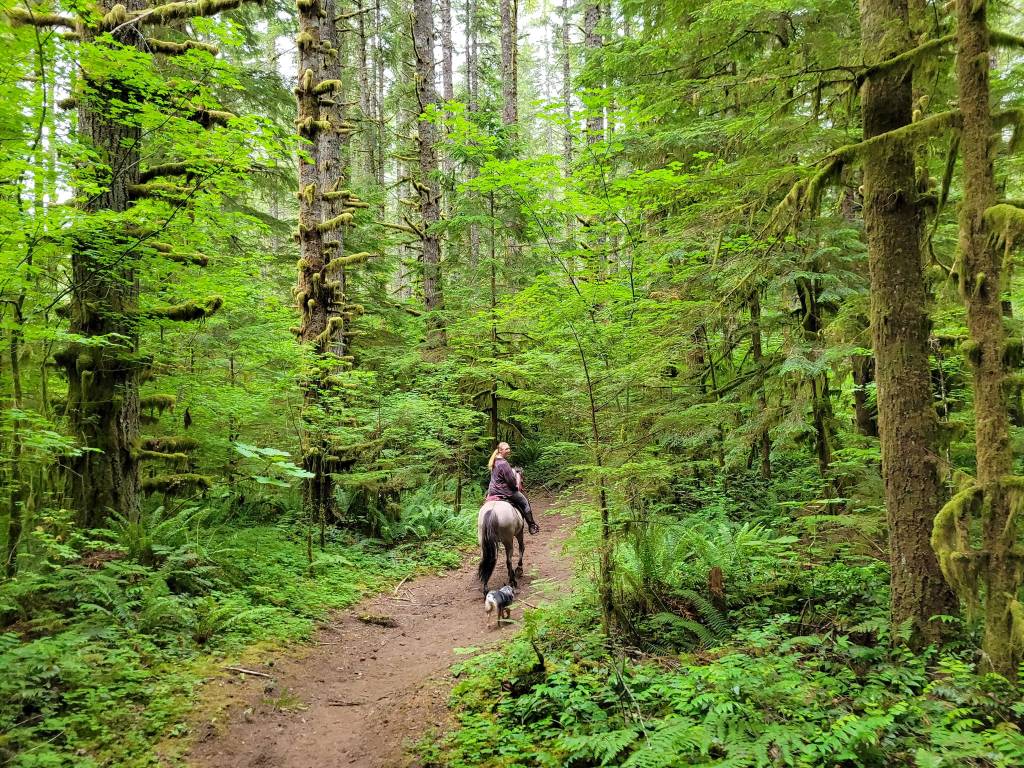
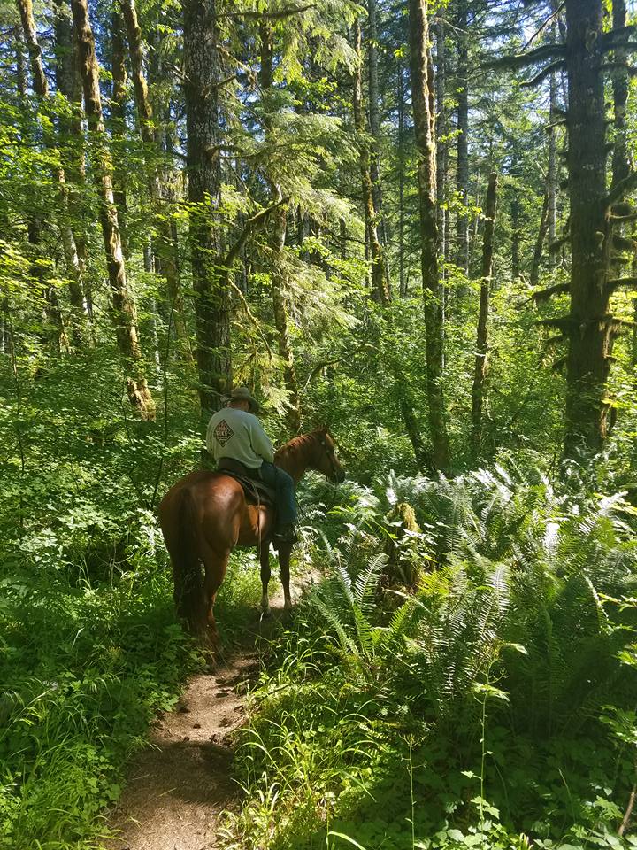
Kalama Falls Trail starts from Kalama Horse Camp in Southwest Washington’s Gifford Pinchot National Forest. Winding through the impressive old growth forest of the Mount St. Helens National Monument- this trail is a relaxing ride for most trail riders. The falls are not viewable from the trail so plan to tie up or have a friend stay with the horses while you scramble down for a view of the falls.
Trail Stats:
- 8.3 miles out and back
- Elevation Gain: 849 feet
- Elevation Loss: 840 feet
- Max Elevation: 2,060 feet
- Difficulty: Moderate
↗ What does this mean? - Footing: Dirt, two-track road, some gravel road crossings.
- Hoof Protection: Barefoot OK if not sensitive.

← Back to Trail Catalog
← Explore more trails in Southern Washington Cascades
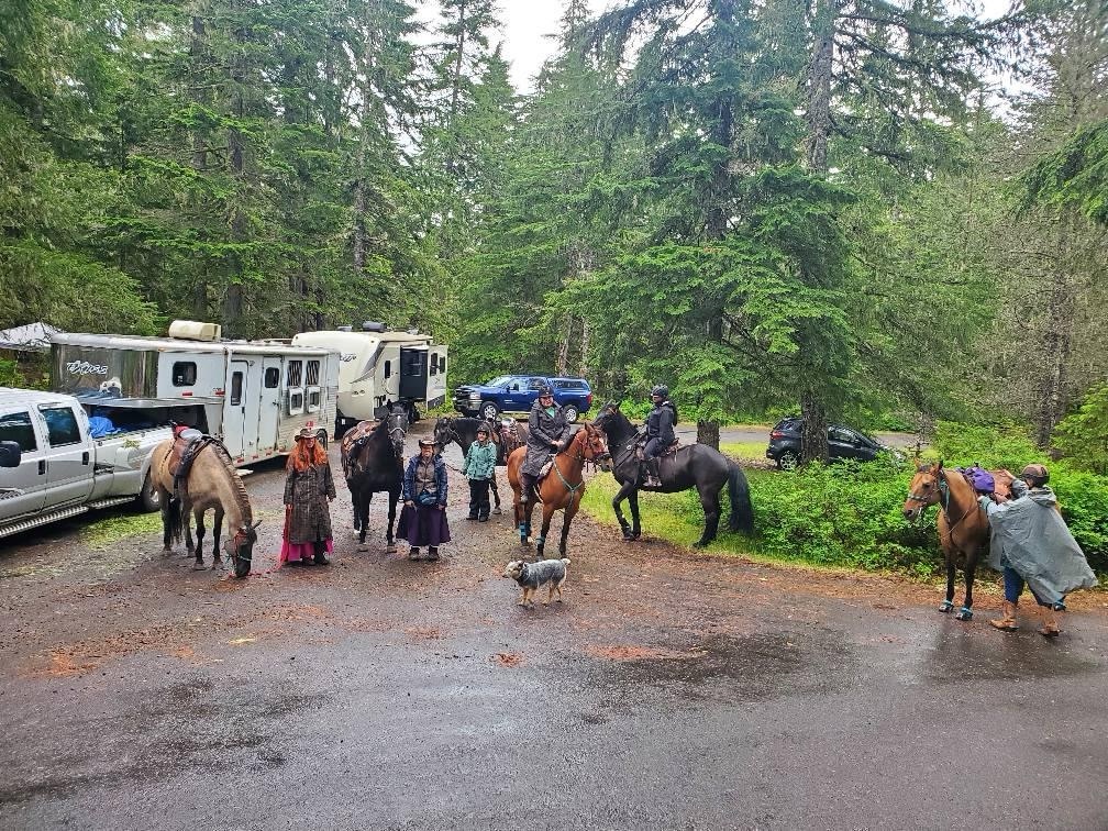
Facilities: Kalama Horse Camp
Water Sources: Kalama Horse Camp
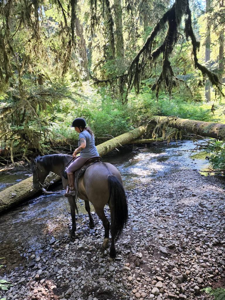
Trail Info: Leave the horse camp from the Toutle/Fossil Trailhead. Start on the Toutle Trail for 0.1 miles until it splits. Take the Cinnamon Trail for 0.3 miles. At the junction veer right onto Kalama Falls Trail. Follow this for 3.4 miles to Road 7400. Turn left on the road and find the trail again on the other side. Follow for another 0.3 miles to the falls.
Trail Challenges: Shooting range nearby. Trail is hard to find from camp without a map. Bridge. Creek crossing.
Permits: None.
Backcountry Sites: Not suitable for overnight use.
Cell Service: Verizon – no coverage.
Fuel: Lakeside 24 Hour Fuel – 16835 Lewis River Rd, Cougar, WA 98616
GPX File: WHT: Kalama Falls Trail
Maintained By: BCHW – Mt. St. Helens chapter
Directions: From Woodland, WA: Take State Route 503 east for approximately 28 miles to Forest Road 81. Take a left on Forest Road 81 towards Kalama Horse Camp Recreation Area. Follow Forest Road 81 North for approximately 8 miles.
Resources:
Map:

← Back to Trail Catalog
← Explore more trails in Southern Washington Cascades


← Back to Southern WA Cascade trails
If you’d like more PNW trails straight to your inbox, be sure to subscribe!

Leave a comment