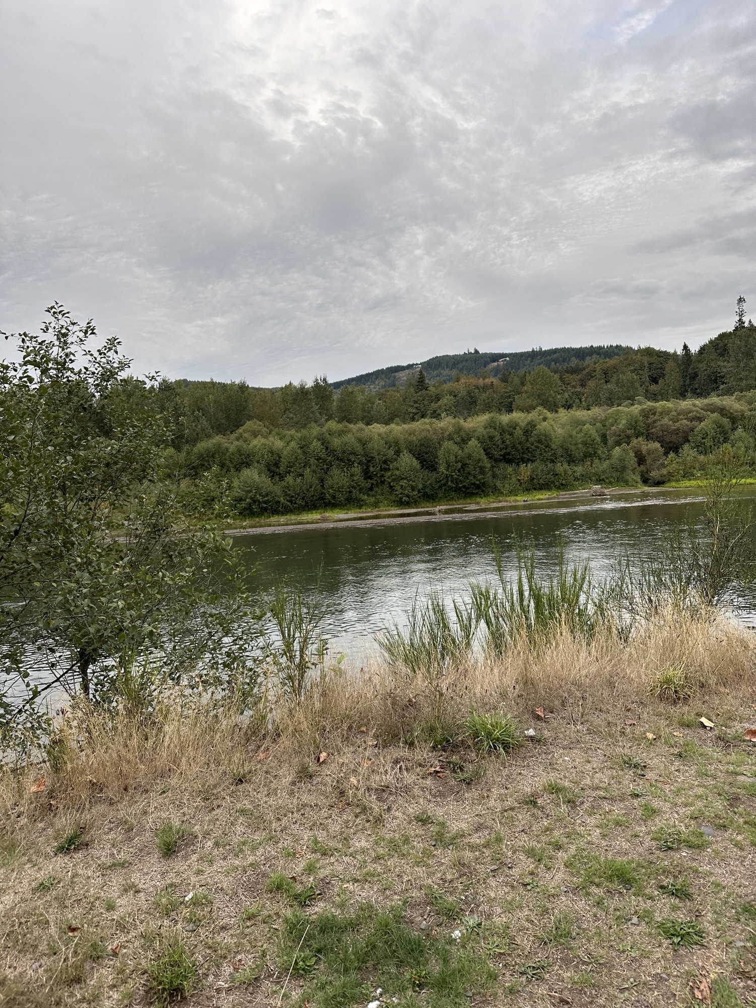
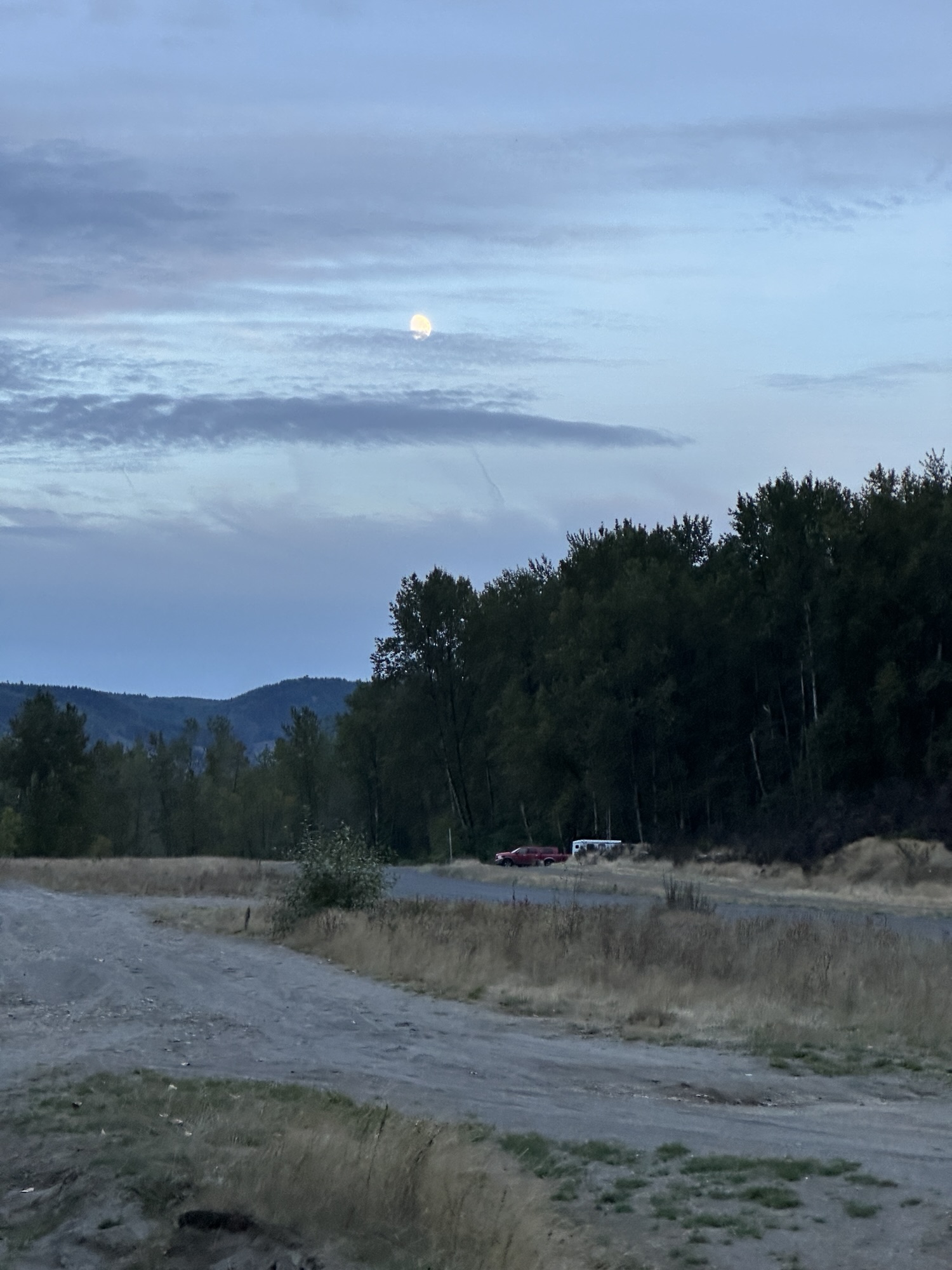
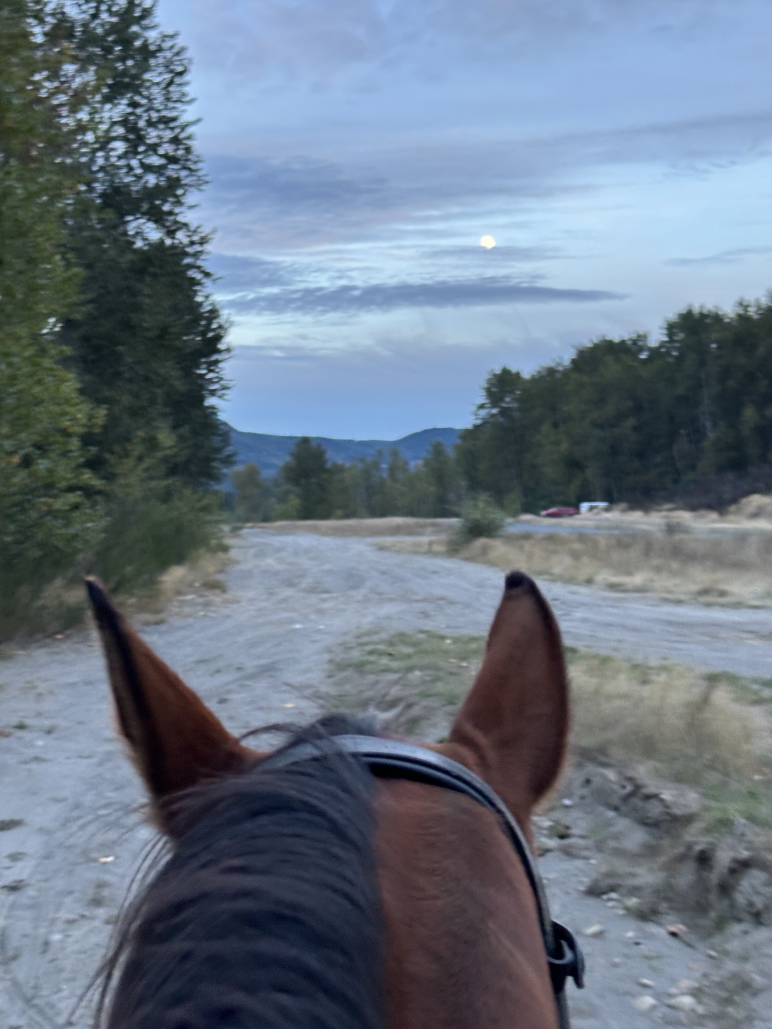
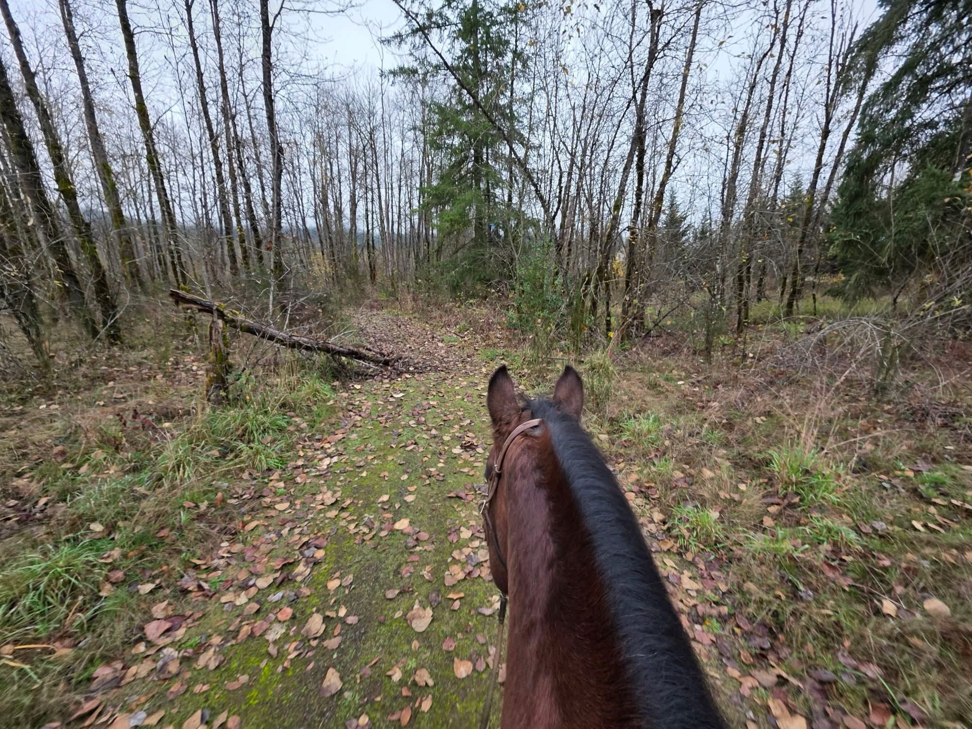
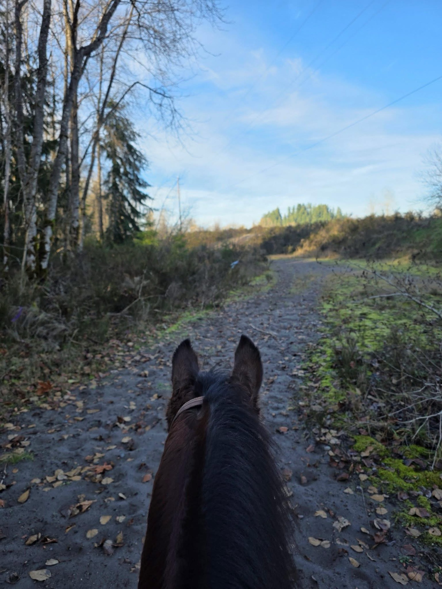
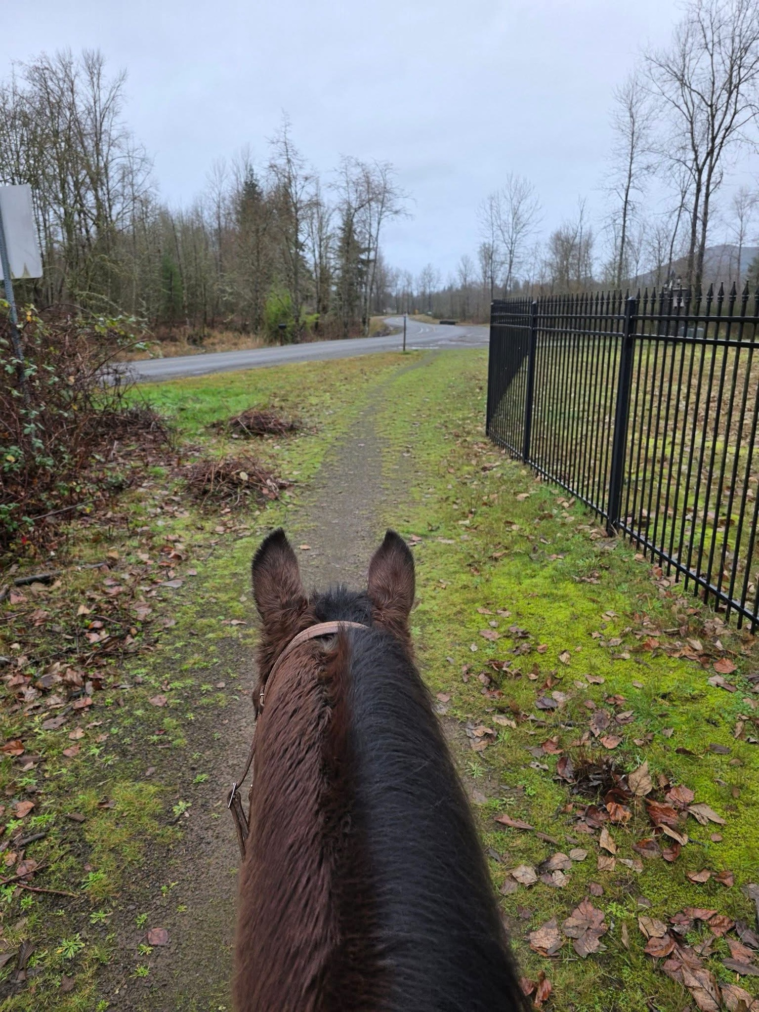
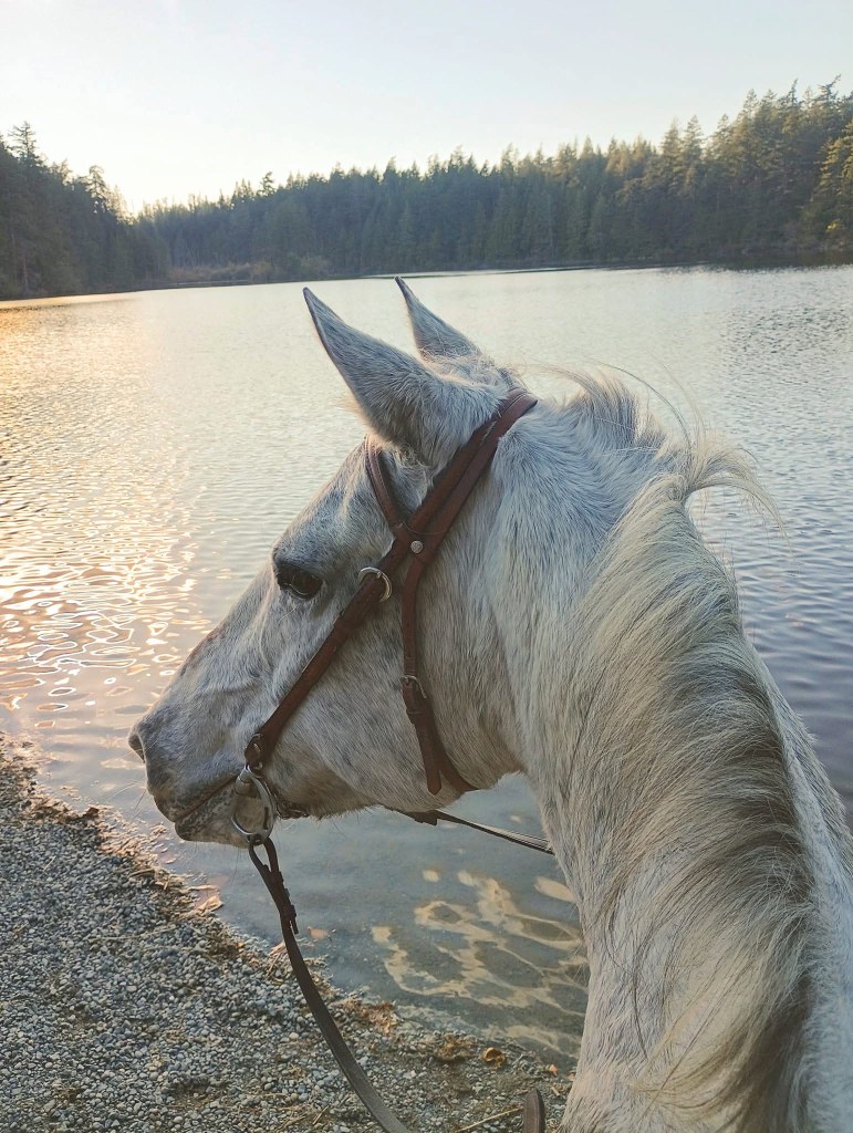
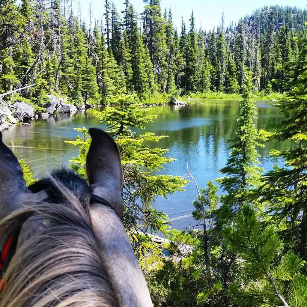
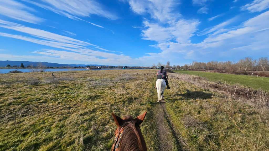
Cook Ferry Park, known as Camelot by the locals is easily accessible from I-5 and located in Castle Rock, WA. Riding varies from river access, road riding, gravel, sand and fields. A good stop for a quick ride at sunset, exposing horses to calm road traffic or just stretching the legs. Enjoy the easy access to the Cowlitz River!
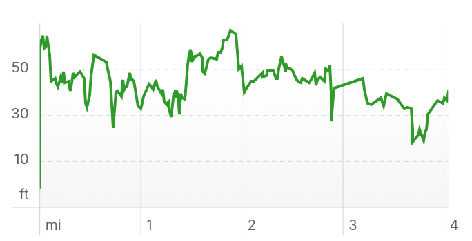
Trail Stats:
- 4 miles
- Elevation Gain: 23 feet
- Elevation Loss: 51 feet
- Max Elevation: 67 feet
- Difficulty: Easy
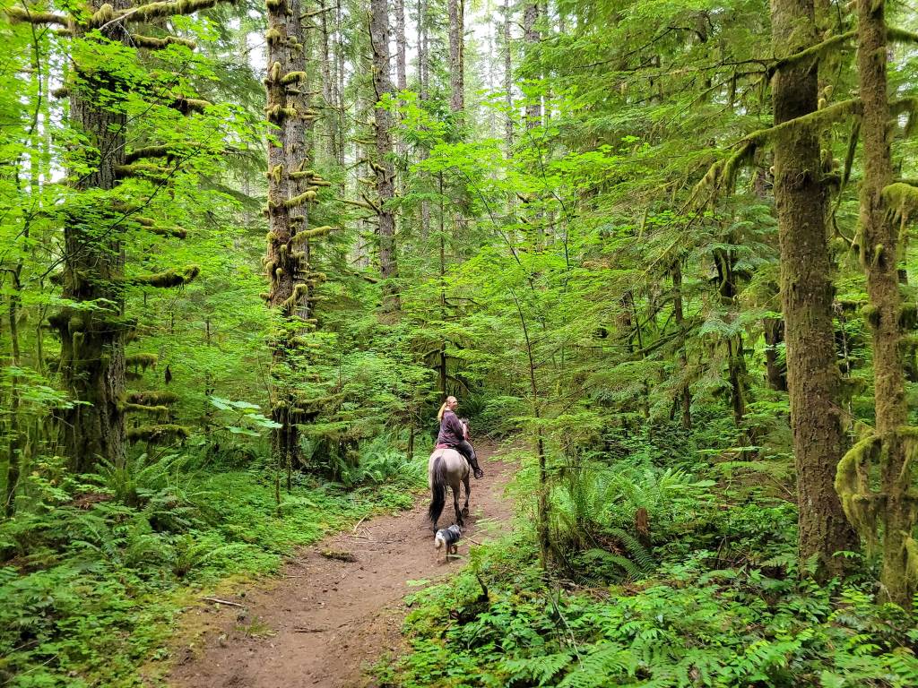
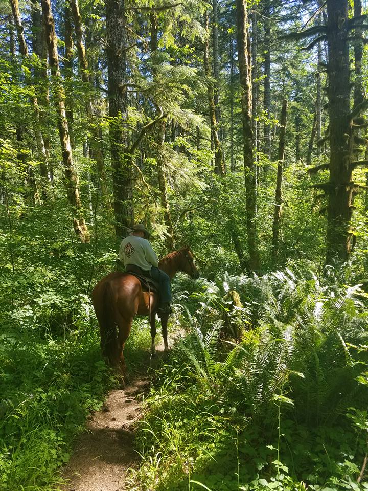
↗ What does this mean? - Footing: Sand, single track, paved/gravel roads, river rock, dirt.
- Hoof Protection: Boot/shoes recommended.
← Back to Trail Catalog
← Explore more trails in the I-5 Corridor
Facilities: No formal equestrian facilities. Large parking area that can fit large rigs and multiple trailers.
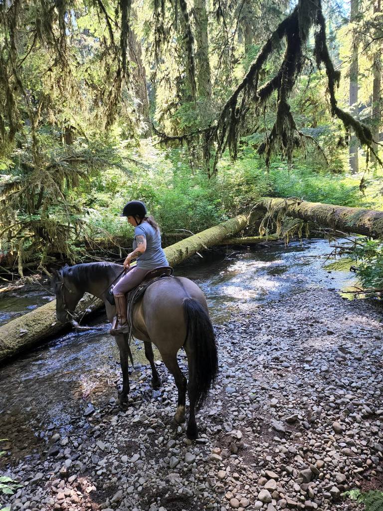
Water Sources: Cowlitz River.
Trail Info: The trail system in this area does not have a formal map. Please refer to GPX track below.
Near the very end of Cook Ferry Road, there is an area that you can ride down into the river and an easy area to swim your horse. Do not go into the river on the east side, but the west side of the river, where the river splits and closest to Westside Hwy has always been a safe area.
Trail Challenges: Route finding – trails aren’t obvious in some areas. Small creek crossing. Cars on road. Vehicles off roading on trail. Some unfortunate trash dumping- beware of potential hazardous items on trail. Popular fishing area – beware of hooks and fishing line. Urban park happenings (dogs, kids, etc).
Permits: None.
Backcountry Sites: Not suitable for overnight use.
Cell Service: Verizon – good coverage.
Fuel: Lexington Market Chevron – 110 Sparks Dr, Kelso, WA 98626
GPX File: WHT: Camelot
Maintained By: ?
Directions: From Vancouver: Take I-5 Northbound to Exit 42 for Lexington Bridge Drive. Turn left onto Lexington Bridge Dr/Sparks Drive. In 0.4 miles, turn right onto WA-411 N. After 4.5 miles, turn right onto Cook Ferry Road. After 1.8 miles, a bathroom and a large parking area will be on the left.
Alternate Parking: If you take Cook Ferry Rd., and head north and take the first right, there is a small parking lot to the right called Chinook Parking. (It would only fit possibly one big rig, as it is mainly a circular parking lot) From Chinook, you can take a small gravel road path, headed south that will take you east towards the river. From the river, you can parallel the river and road and head north and follow along marked trails to large sand areas that offer trails in and out of the wooded areas.
Resources:
Map:

← Back to Trail Catalog
← Explore more trails in the I-5 Corridor


If you’d like more PNW trails straight to your inbox, be sure to subscribe!

Leave a comment