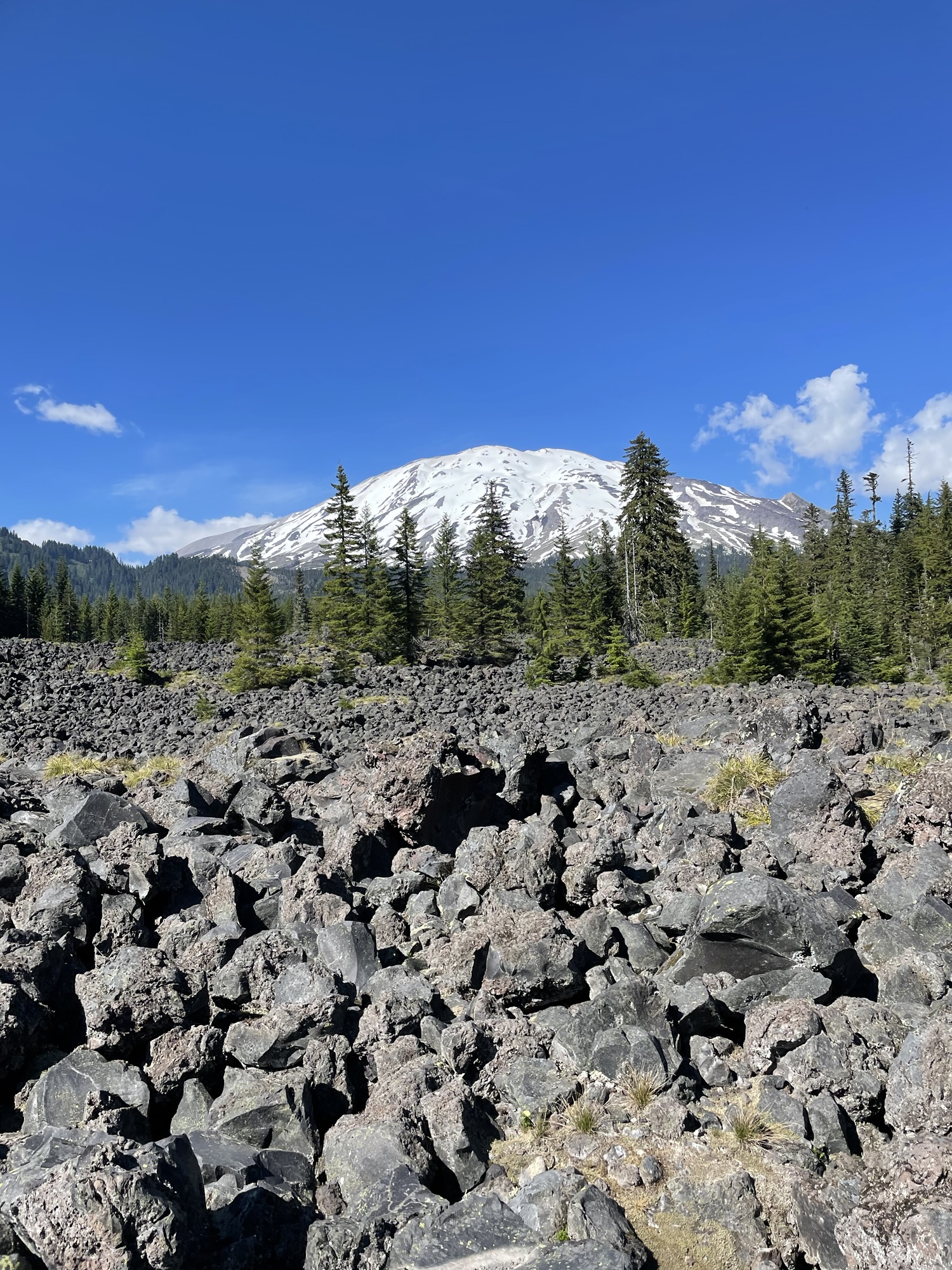
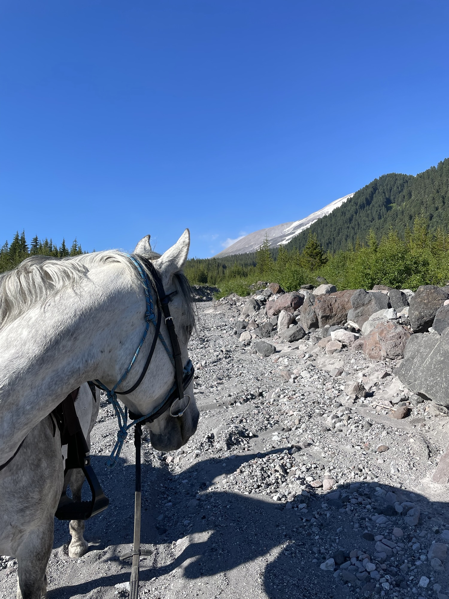
Red Rock Pass is located in Southwest Washington in the Mount St. Helens National Monument. This ride requires route finding and conditions may be poor at times. Enjoy a lava field with an up close and personal view of Mount St. Helens, some alpine forests and ash filled riverbeds.
Trail Stats:
- 4.4 mile lollipop loop
- Elevation Gain: 836 feet
- Elevation Loss: 818 feet
- Max Elevation: 3,542 feet
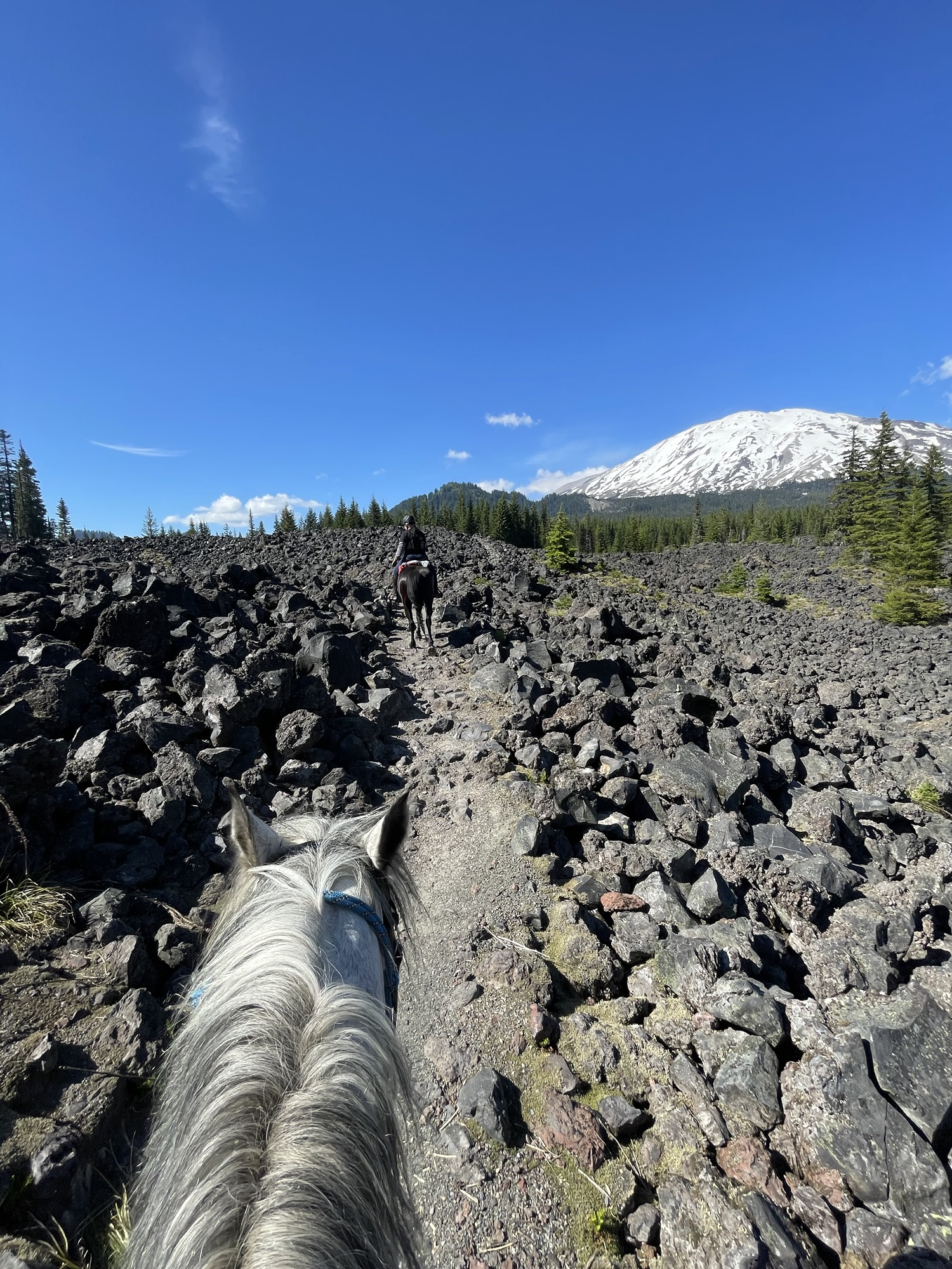
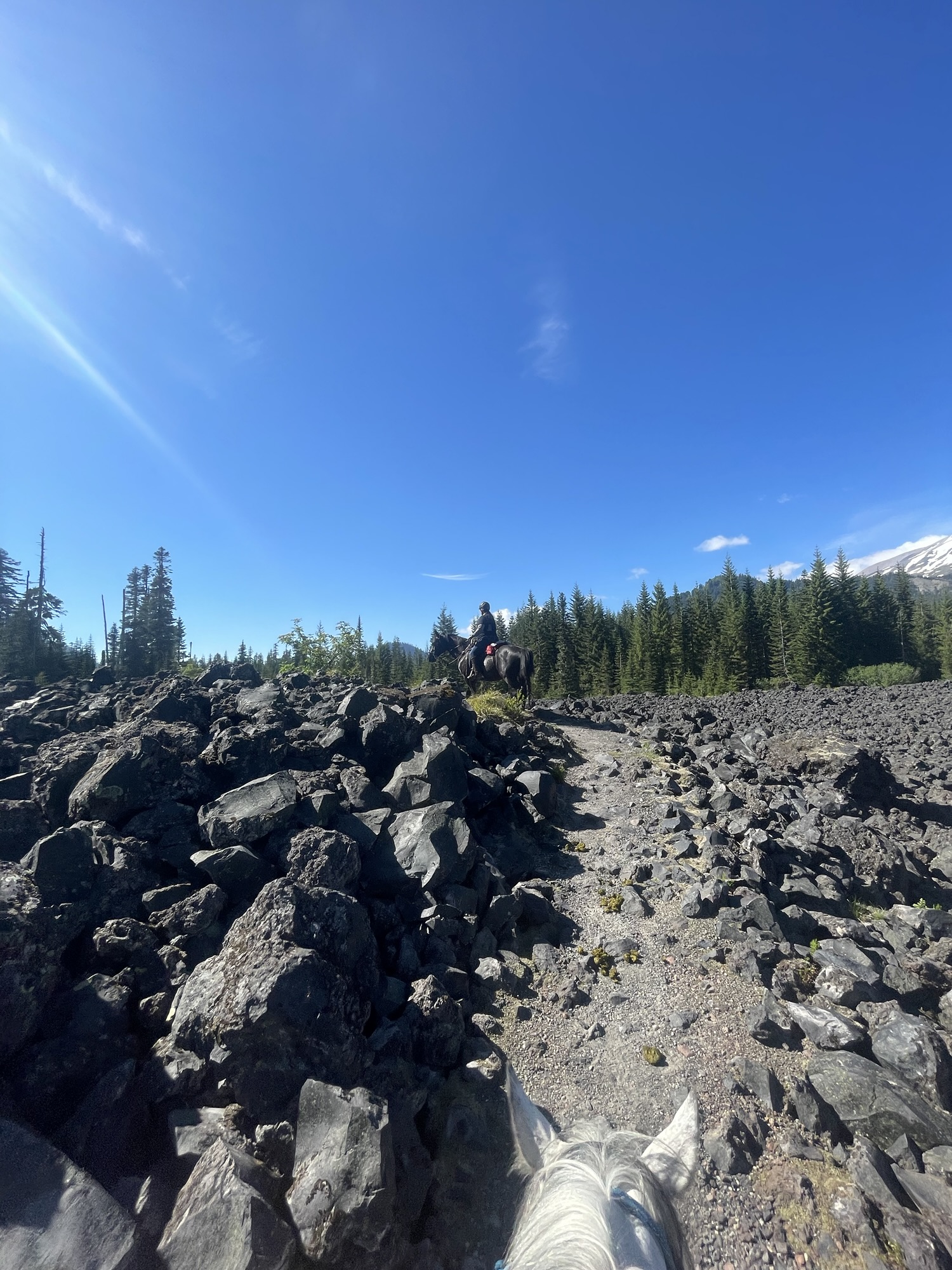
- Difficulty: Challenging due to lava field and route finding.
↗ What does this mean? - Footing: Lava rock, dirt, loose rock, ash.
- Hoof Protection: Shoes/boots highly recommended.

← Back to Trail Catalog
← Explore more trails in Southern Washington Cascades
Facilities: Kalama Horse Camp is nearby. This route starts from Red Rock Pass but you could ride from camp if you were up for along day.
Water Sources: None.
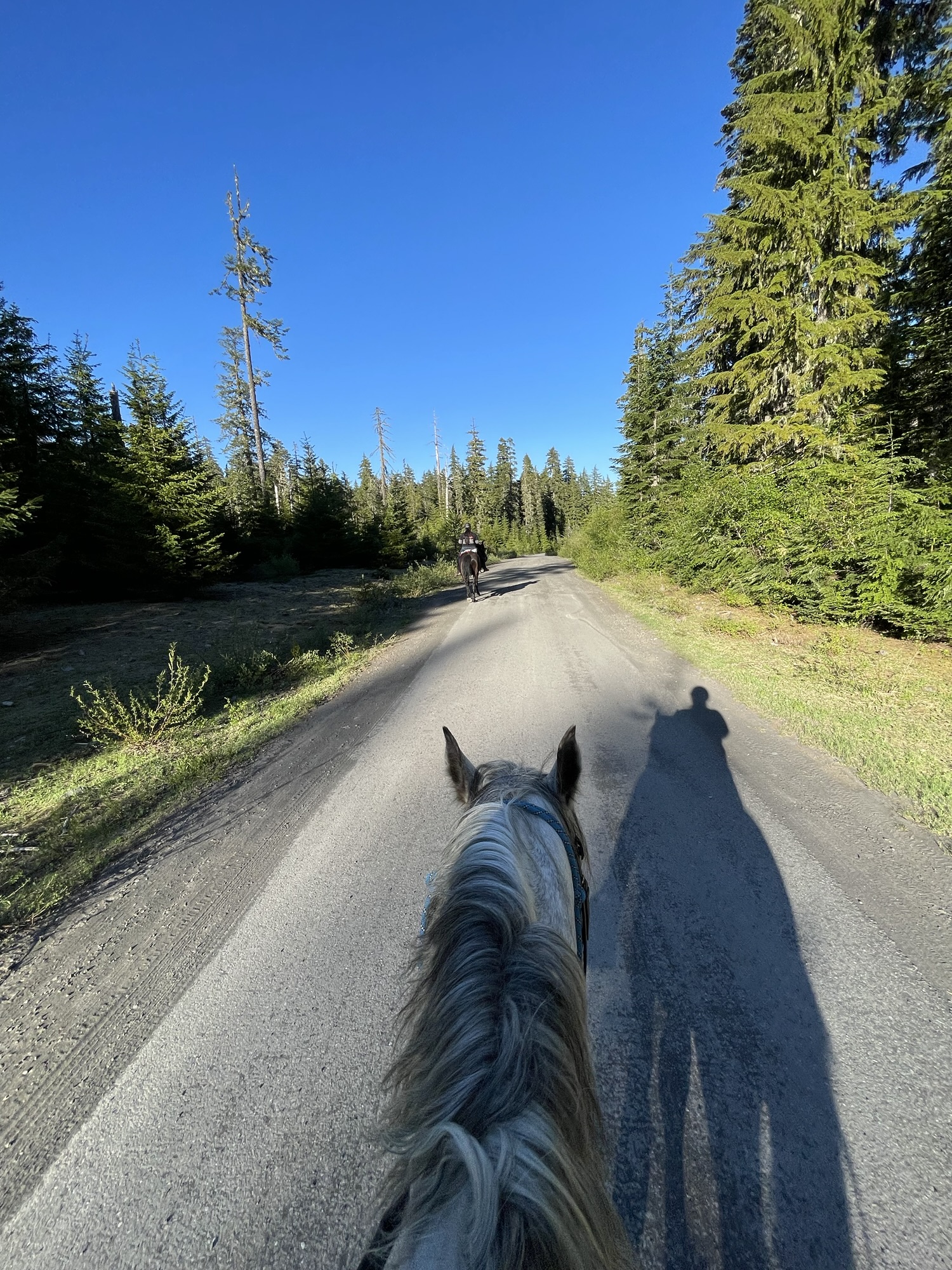
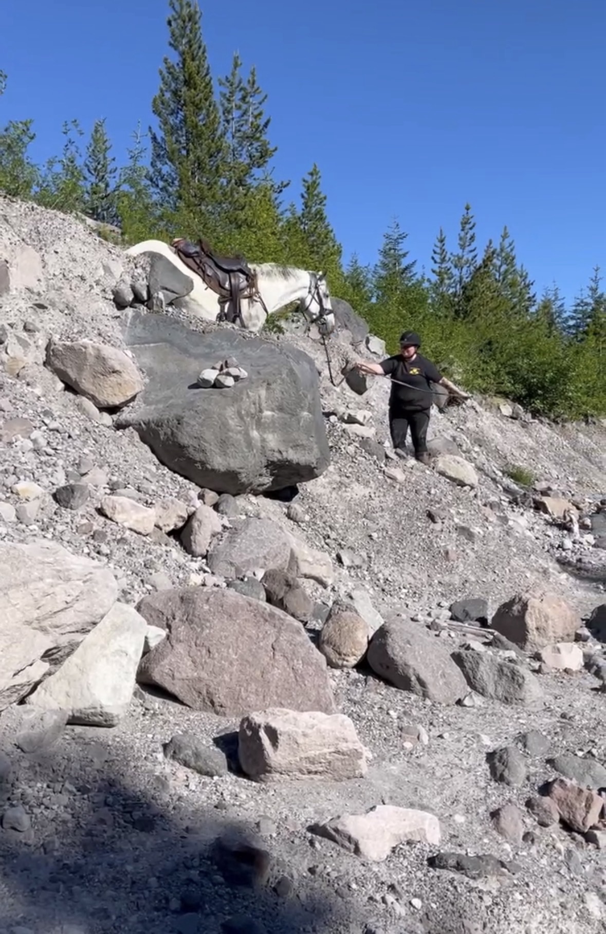
Trail Info: Take the switchbacks from the trailhead onto Toutle Trail. Once over the ledge you will have an instant view of Mount St. Helens. Follow this trail through the lava field and into the forest for 1.1 miles. You will come to a junction – horses are not allow to continue on to Butte Camp so take a left and stay on the Toutle Trail for another 1.2 miles. This trail had downfall and holes in the trail so watch where you are going. At this point pay close attention to the trail. It will appear to vanish but there is a soft ashy down climb into an old river bed. It looks impossible from the top but it’s doable. I dismounted to scope it out but with a handy horse you may be able to ride it. From there continue south downstream on the old riverbed for 0.3 miles. You will need a keen eye or a map to find the trail again as its not obvious. Once you’ve located it, go left again on Kalama Ski Trail for 1.3 miles. Turn right on Toutle Trail for 0.4 miles to return to the trailhead.
If you’d like to continue on – consider using more of the Kalama Ski Trail for a longer loop, or exploring up towards the Goat Marsh Research Natural Area to find the current world record holding Noble Fir Tree.
Trail Challenges: Drop offs, large holes in trail, lava rock over the trail, extremely large mosquitos, steep loose trail (you may need to dismount), down logs, route finding may be needed due to faint trail.
Permits: None.
Backcountry Sites: None known on this loop but there could be some up towards Blue Lake. If you have more info, please email adventure.equines@gmail.com
Cell Service: Verizon – no coverage.
Fuel: Lakeside 24 Hour Fuel – 16835 Lewis River Rd, Cougar, WA 98616
GPX File: WHT: Red Rock Pass Loop
Maintained By: Unknown
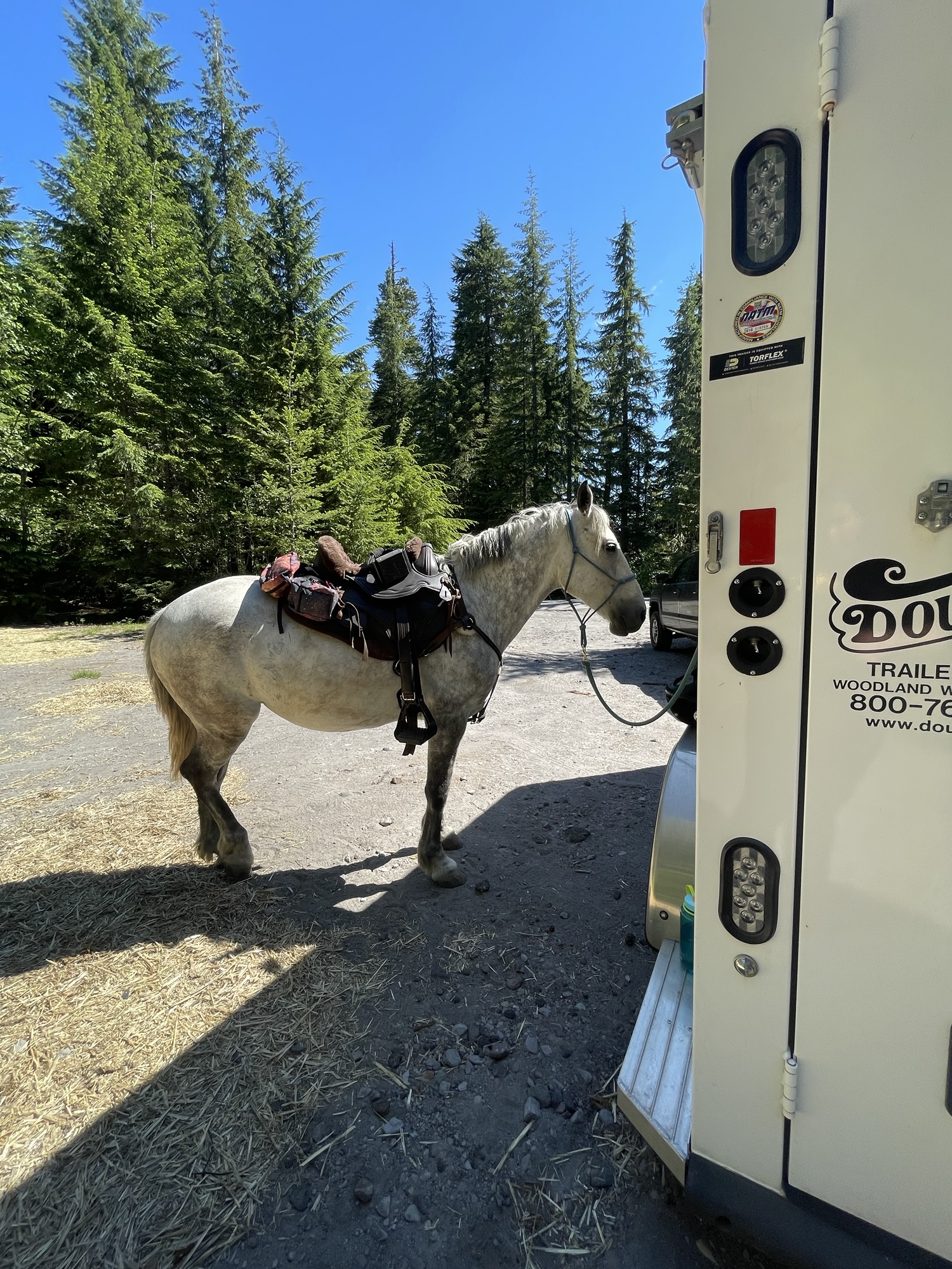
Directions: From the town of Cougar head east on Highway 503 for 6.5 miles, then turn left onto Forest Road 83. After 3.0 miles on FR 83, turn left onto Forest Road 81 for 2.9 miles until arriving at the trailhead on the right. Enough space for about a dozen cars and typical not full so you could park a trailer, however we found a better spot to park and tack up with out any stress at 46.14348, -122.23136.
Resources:
Map:

← Back to Trail Catalog
← Explore more trails in Southern Washington Cascades


If you’d like more PNW trails straight to your inbox, be sure to subscribe!
Ready to find your next trail? Head over to the trail catalog to add more trails to your bucket list!

Leave a comment