Submitted by: Kirsten Seyferth
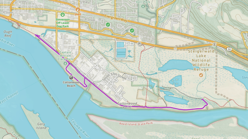
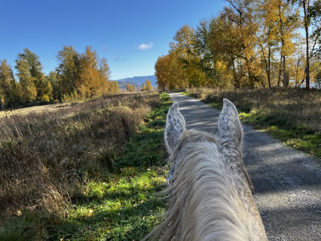
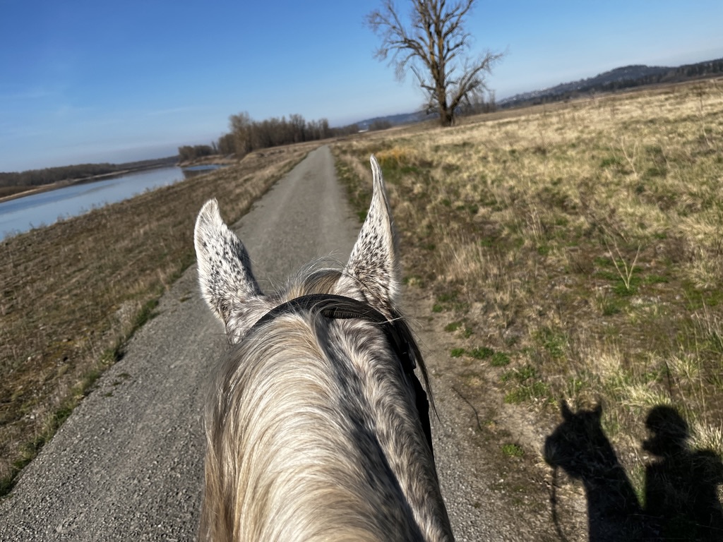
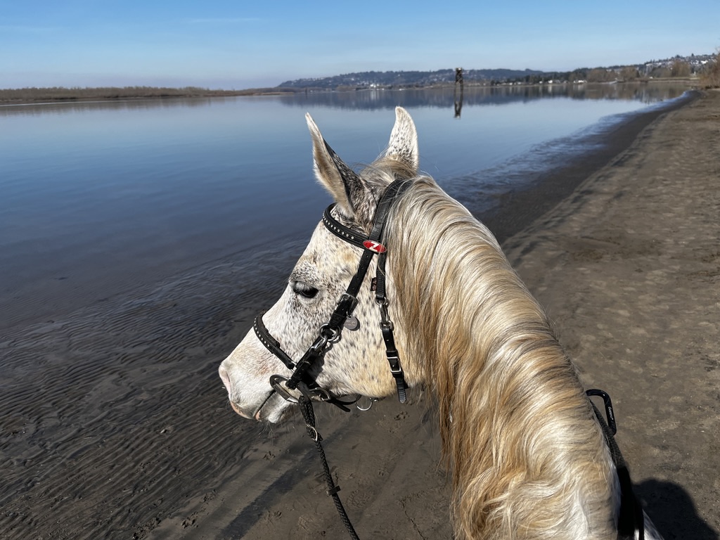
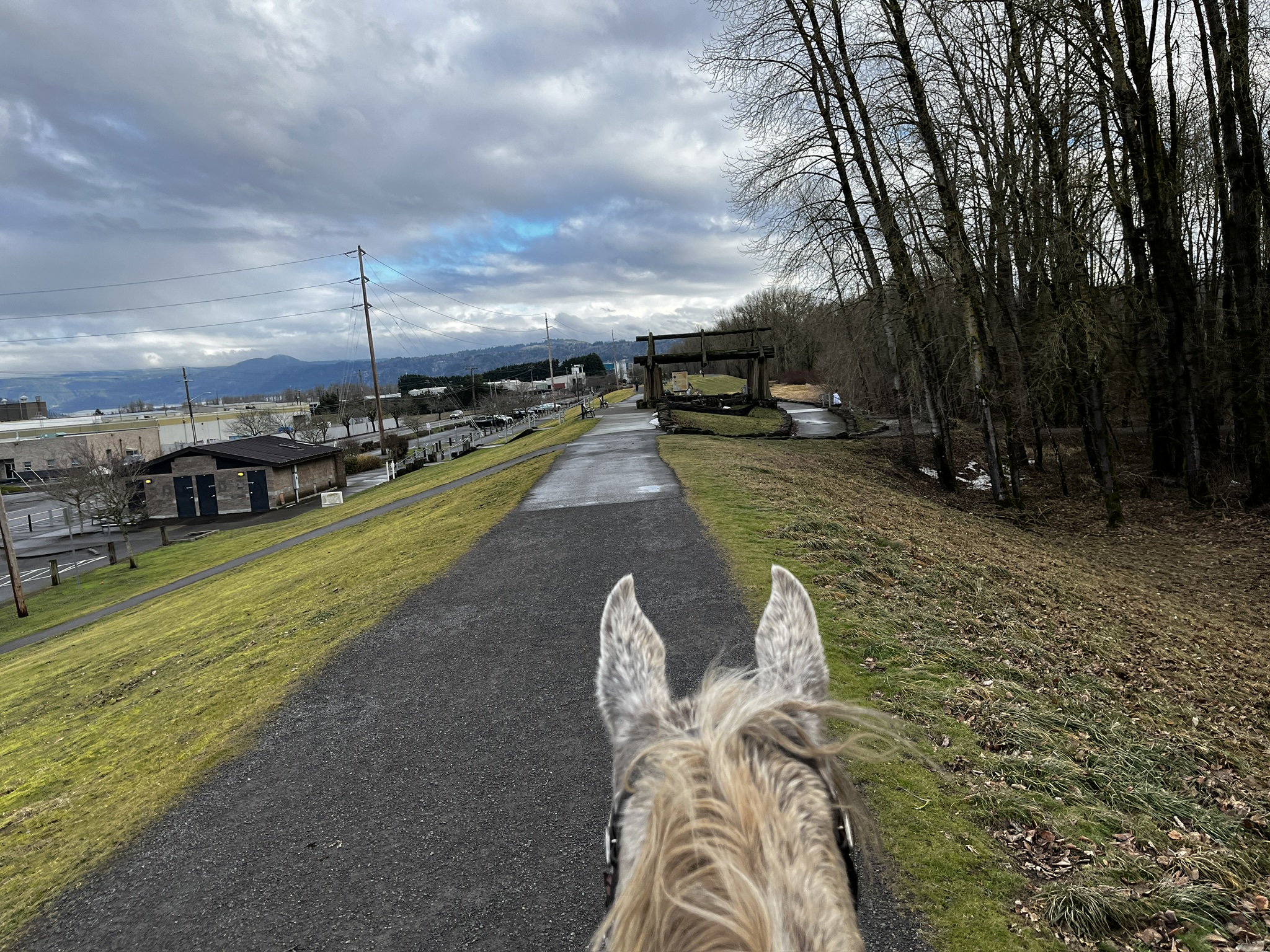
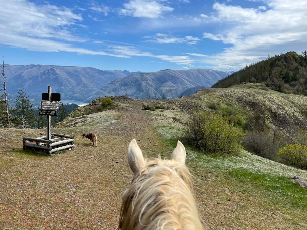
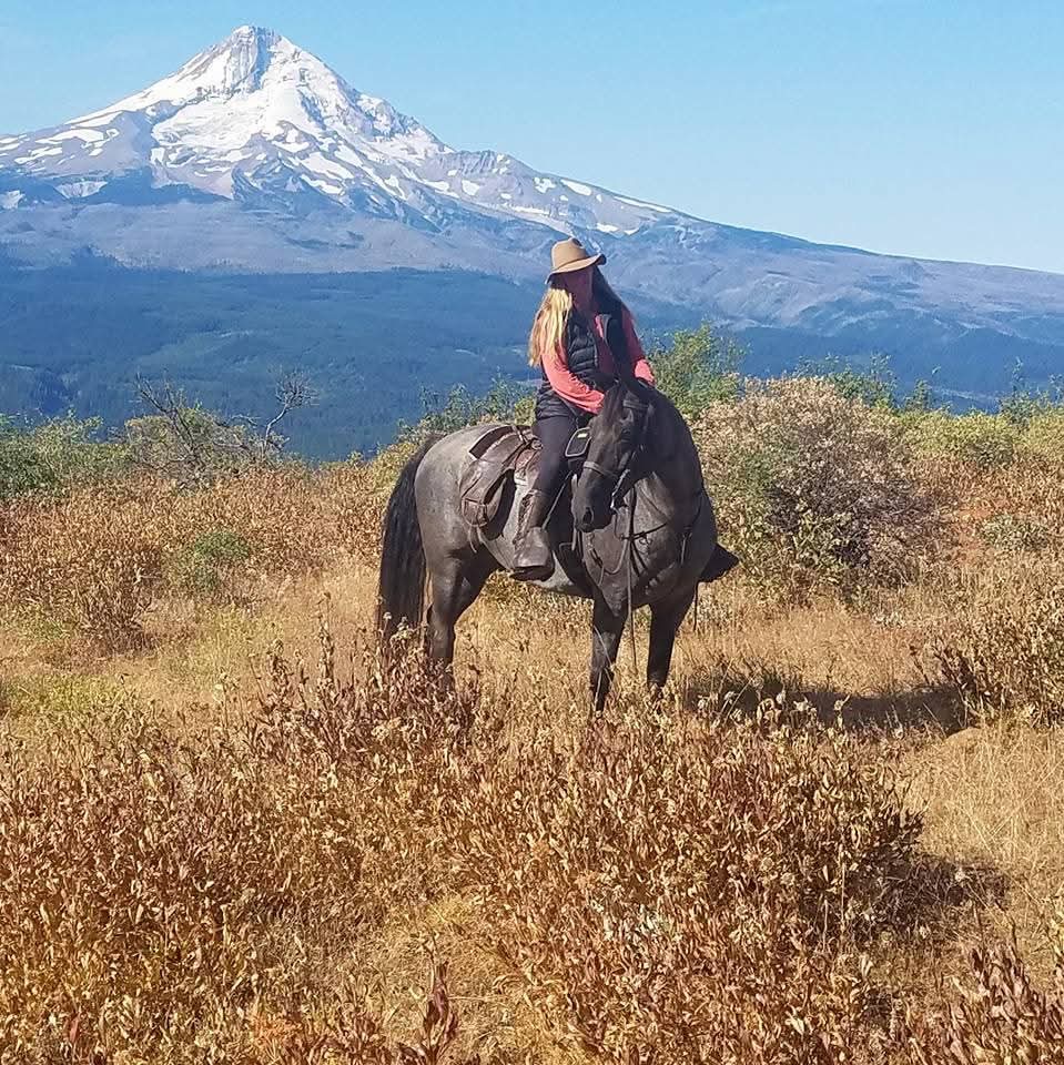
The Washougal Dike Trail (aka Cottonwood Beach Trail) originates in Captain William Clark Park in Southwest Washington. This trail offers year-round good footing, and is a great winter ride on a dry day. Enjoy views of Mt Hood and beach access to the Columbia River.
Trail Stats:
- 6 miles round trip
- Elevation Gain: 7 feet
- Elevation Loss: 14 feet
- Max Elevation: 35 feet
- Difficulty: Easy
↗ What does this mean? - Footing: Packed gravel.
- Hoof Protection: Shoes/boots recommended.

← Back to Trail Catalog
← Explore more trails in the Portland Metro area
Facilities: No overnight camping. Unimproved horse trailer parking area at the very far west end of Index Street. No bathroom at trailheads. Captain William Clark Park has bathrooms that are closed during winter.
Water Sources: River access.
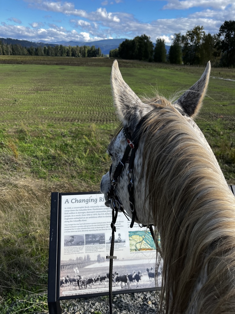
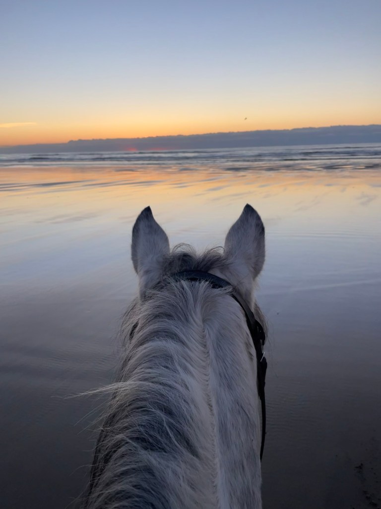
Trail Info: Wide, out-and-back trail that follows the Columbia River with nice views of Mt.Hood. For the 1st mile the trail runs along the Washougal industrial area before it enters the Steigerwald Lake National Wildlife Refuge. Foot and bike traffic gets less from there, while the trail travels east through the refuge, crosses a couple bridges and dead ends at a chainlink gate. You can also ride through Captain Clark Park and down to Cottonwood Beach. During times of low water level, up to a 1 mile stretch of beach is rideable. Just be aware that there are typically off-leash dogs on the beach (usually not an issue on the main trail).
Trail Challenges: Bridges. Urban park happenings. Bicycles. No shade/exposed. Poor signage.
This is a popular multi-use trail where you will encounter bicycles, dogs, kids, runners etc, many of which are clueless how to behave around horses. Therefore this trail is not recommended for inexperienced riders and/or spooky horses.
Also, the location is at the mouth of the Columbia River, which does at times get VERY strong winds from the east. Therefore it’s highly recommended to check the local wind forecast for Washougal before heading out. Due to the openness of the area, any east winds of more than 10-15mph make riding here rather unpleasant.
Permits: None, free parking.
Backcountry Sites: Not suitable for overnight use.
Cell Service: Yes all carriers.
Fuel: Chevron – 165 C St, Washougal, WA 98671
GPX File: WHT: Washougal Dike Trail
Maintained By: Clark County Parks & Recreation
Directions: From Vancouver: Take Highway 14 eastbound, exit south at the 32nd Street roundabout. Take 32nd to Index Street. Turn right and follow Index Street all the way along the dike to the end (go straight at the Humane Society instead of following main traffic direction along the train tracks). The parking lot is directly next to the dike.
Coordinates: 45.57327, -122.34788
Resources:
Map:
← Back to Trail Catalog
← Explore more trails in the Portland Metro area


If you’d like more PNW trails straight to your inbox, be sure to subscribe!


Leave a comment