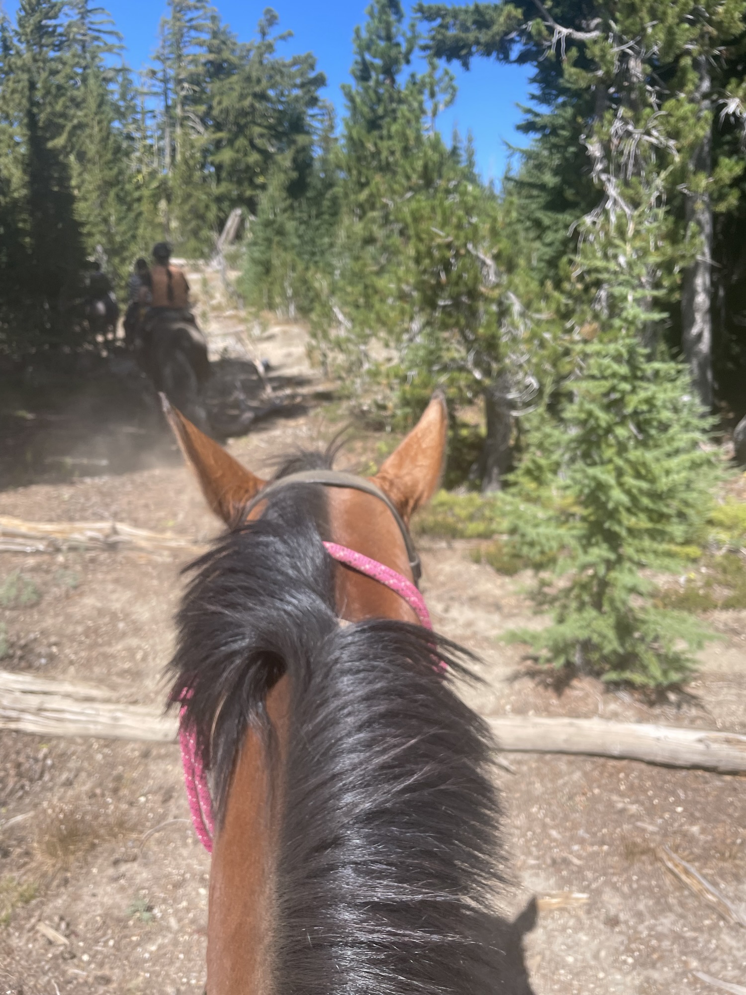
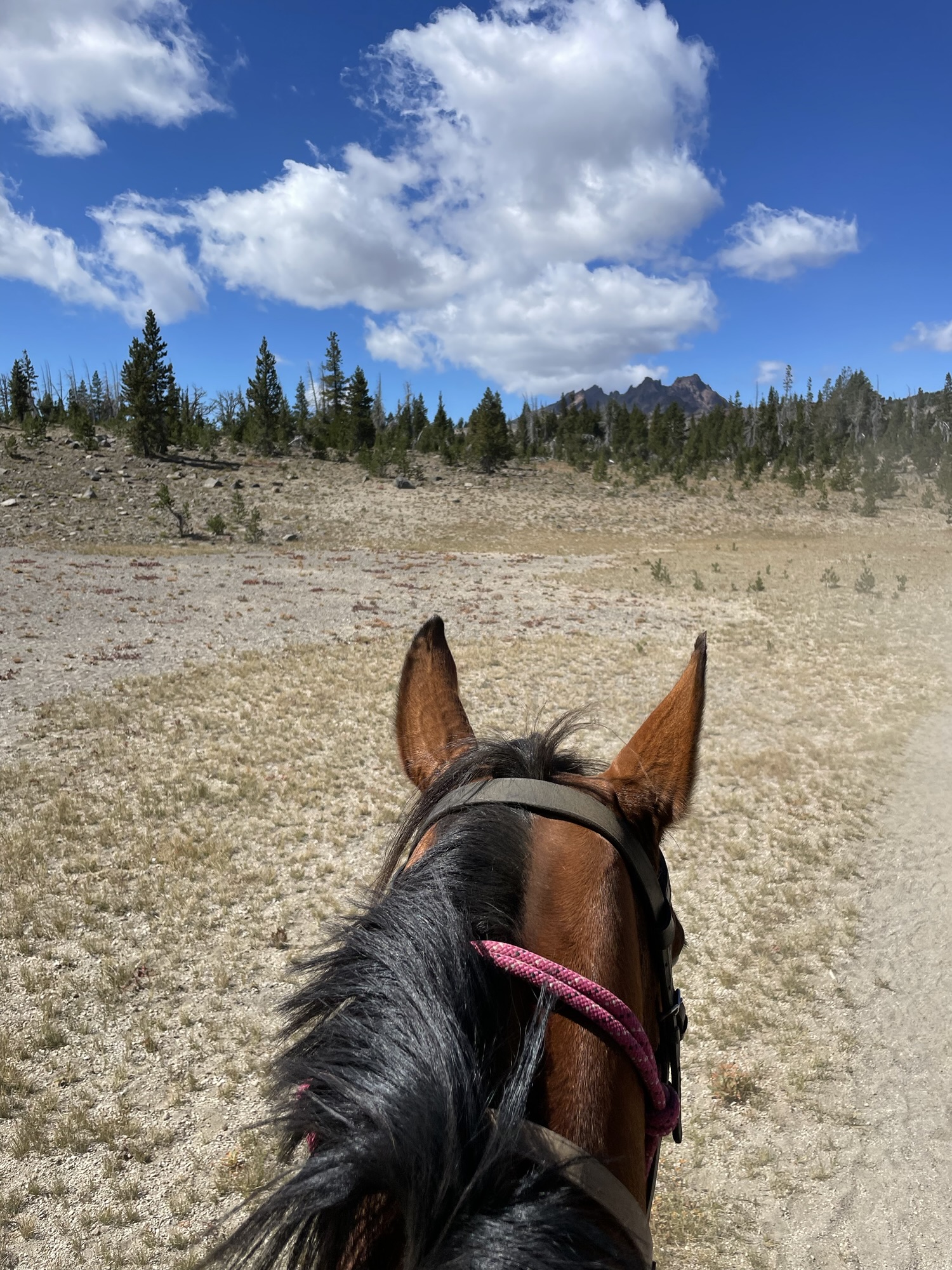
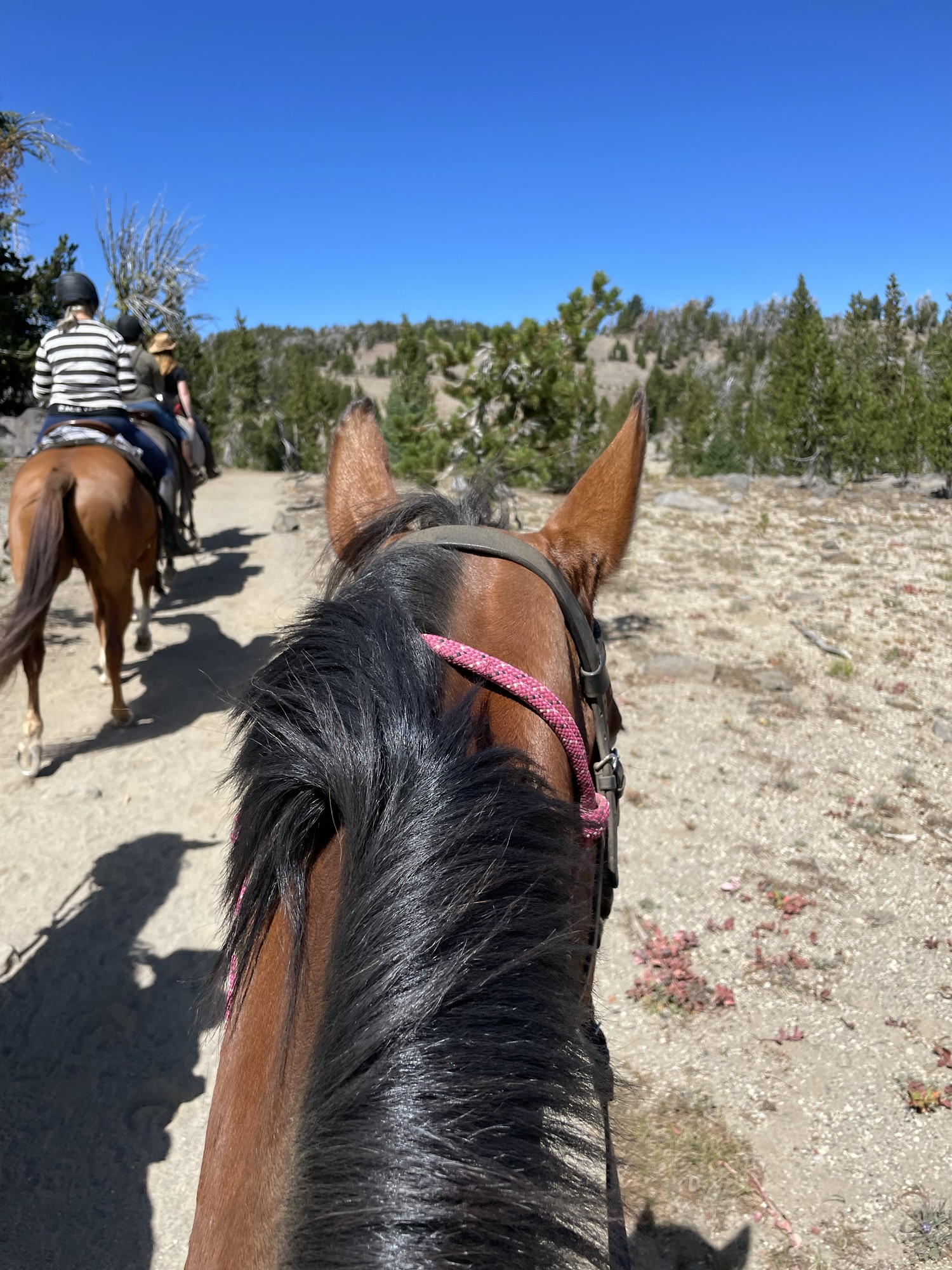
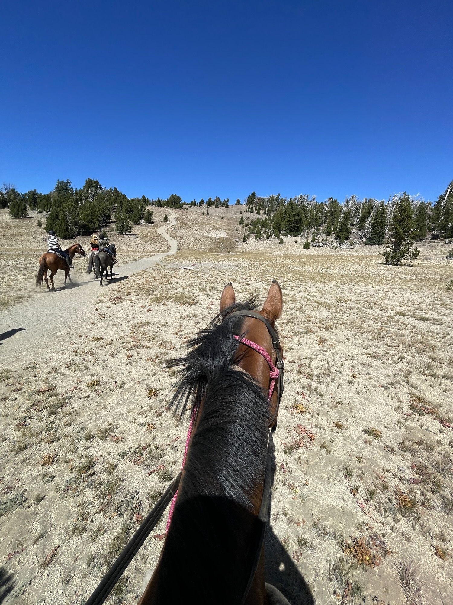
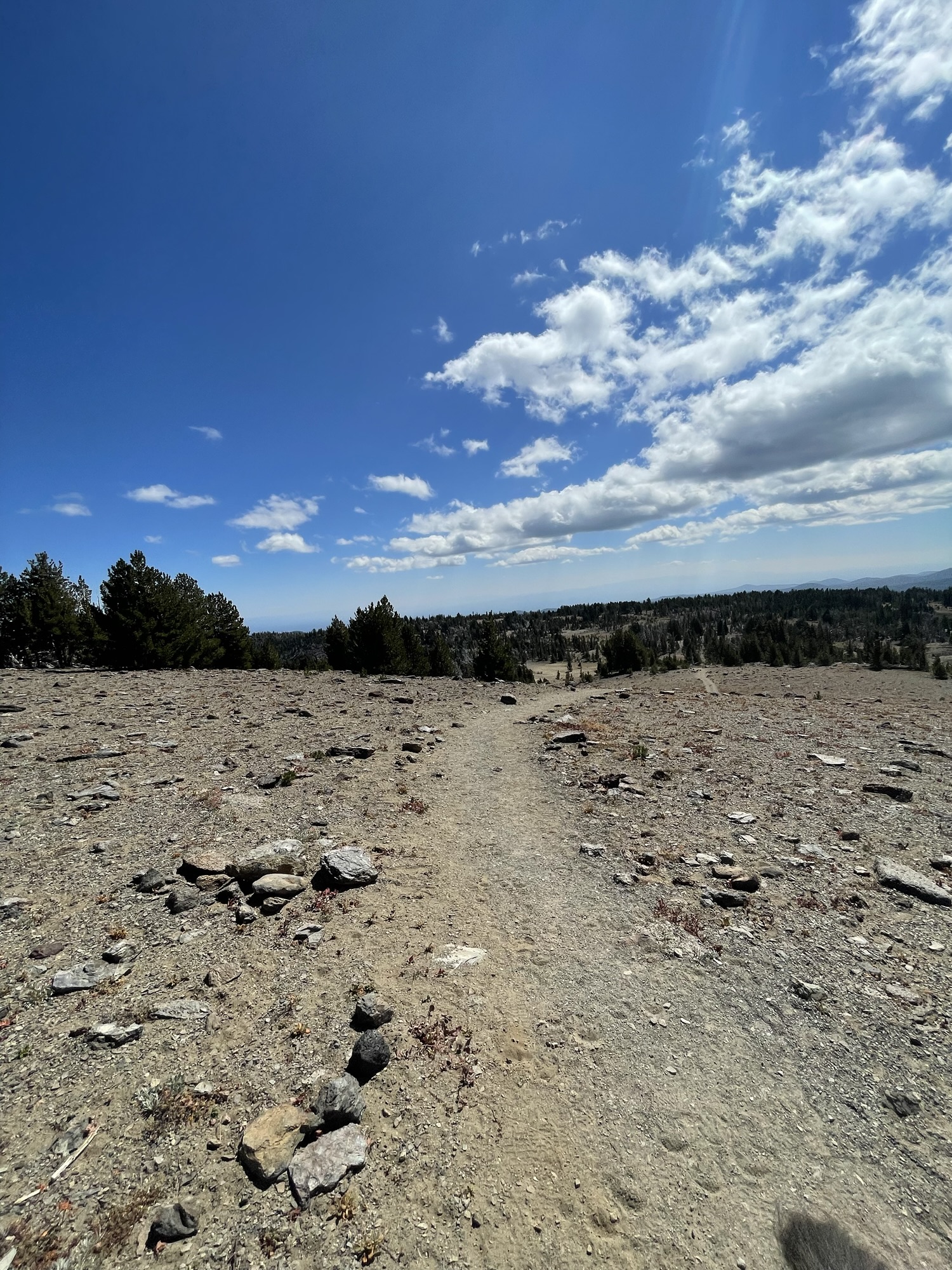
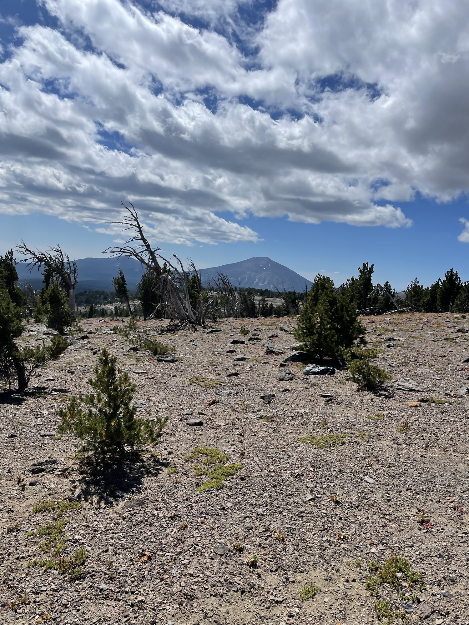
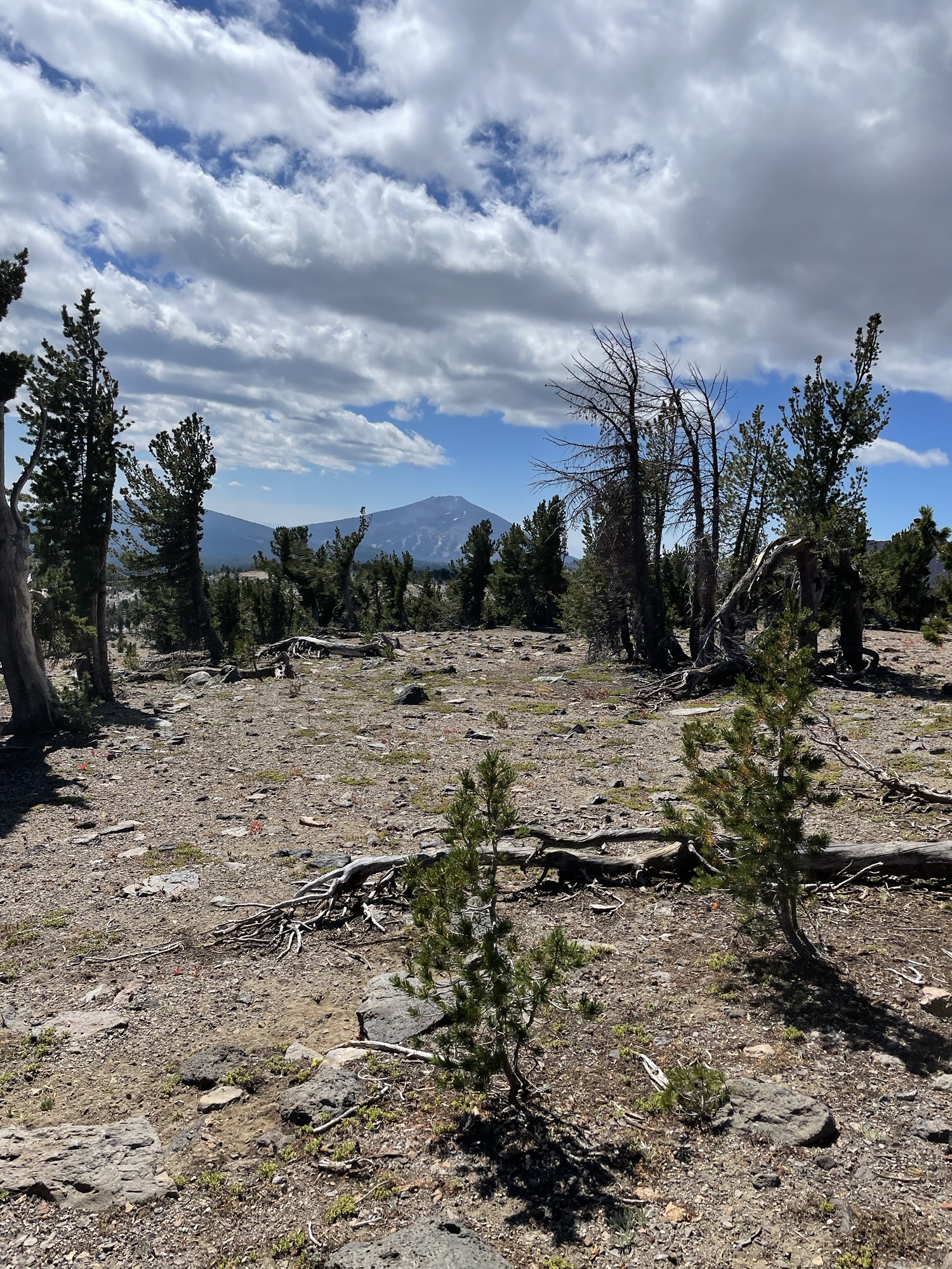
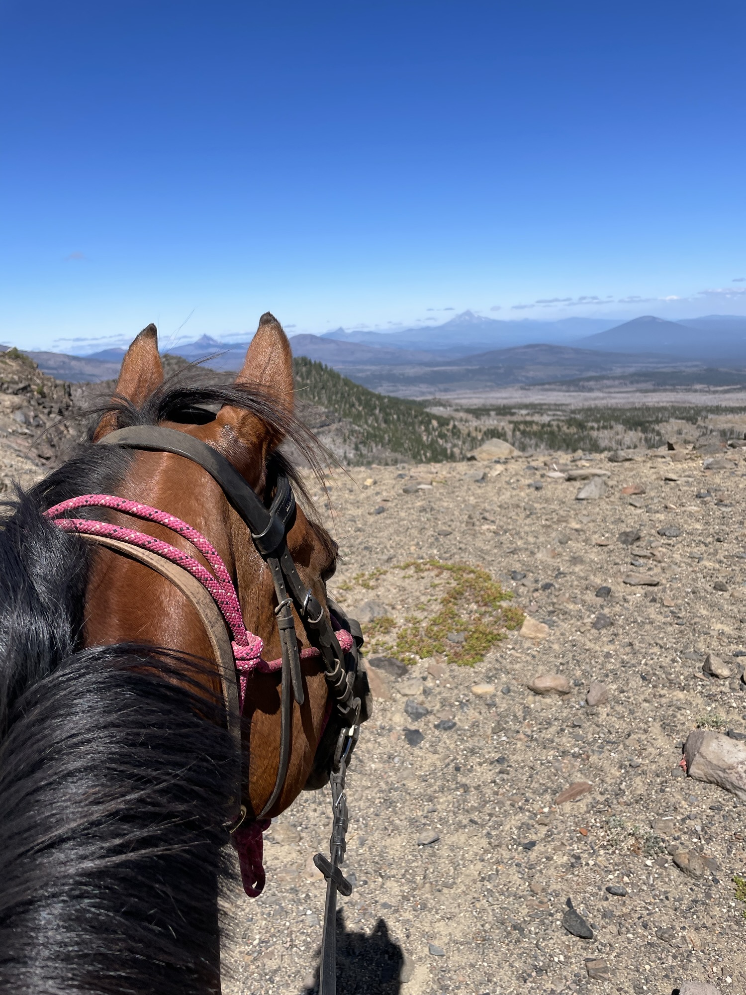
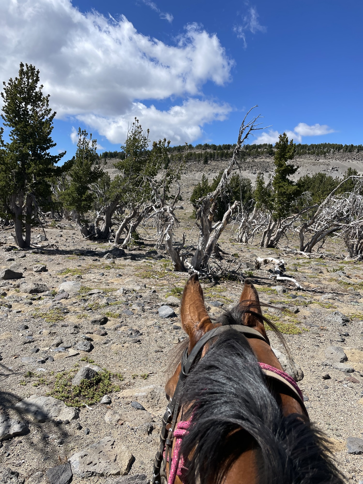
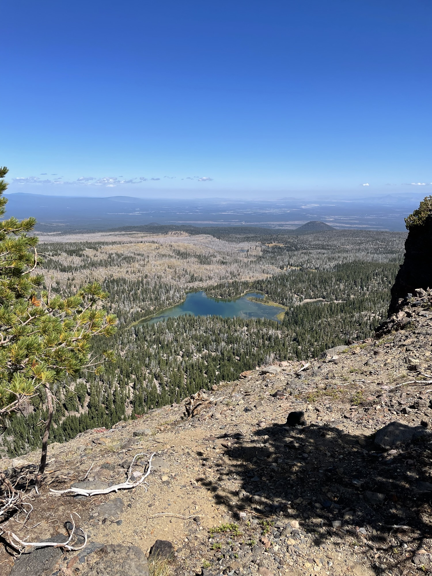
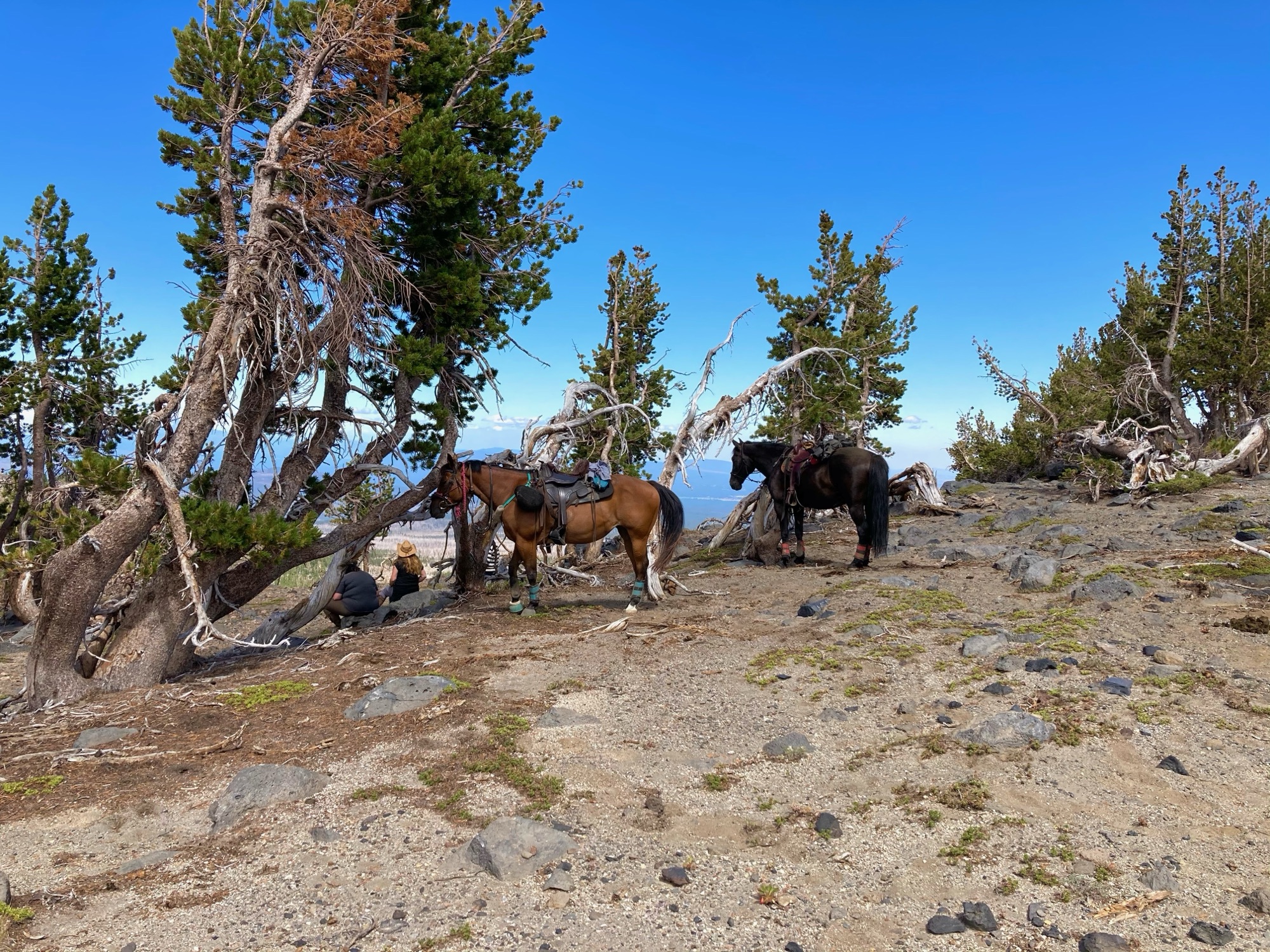
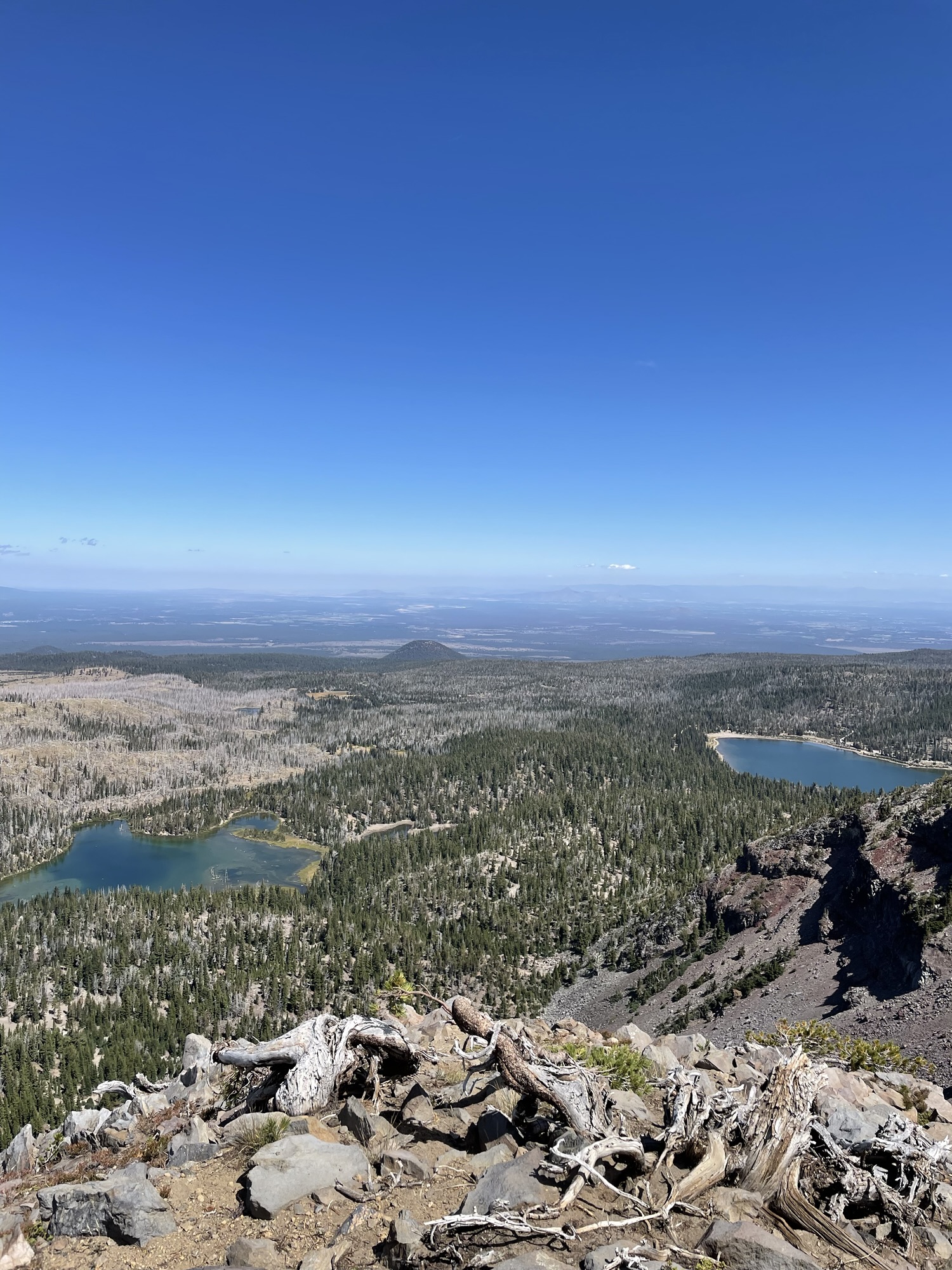
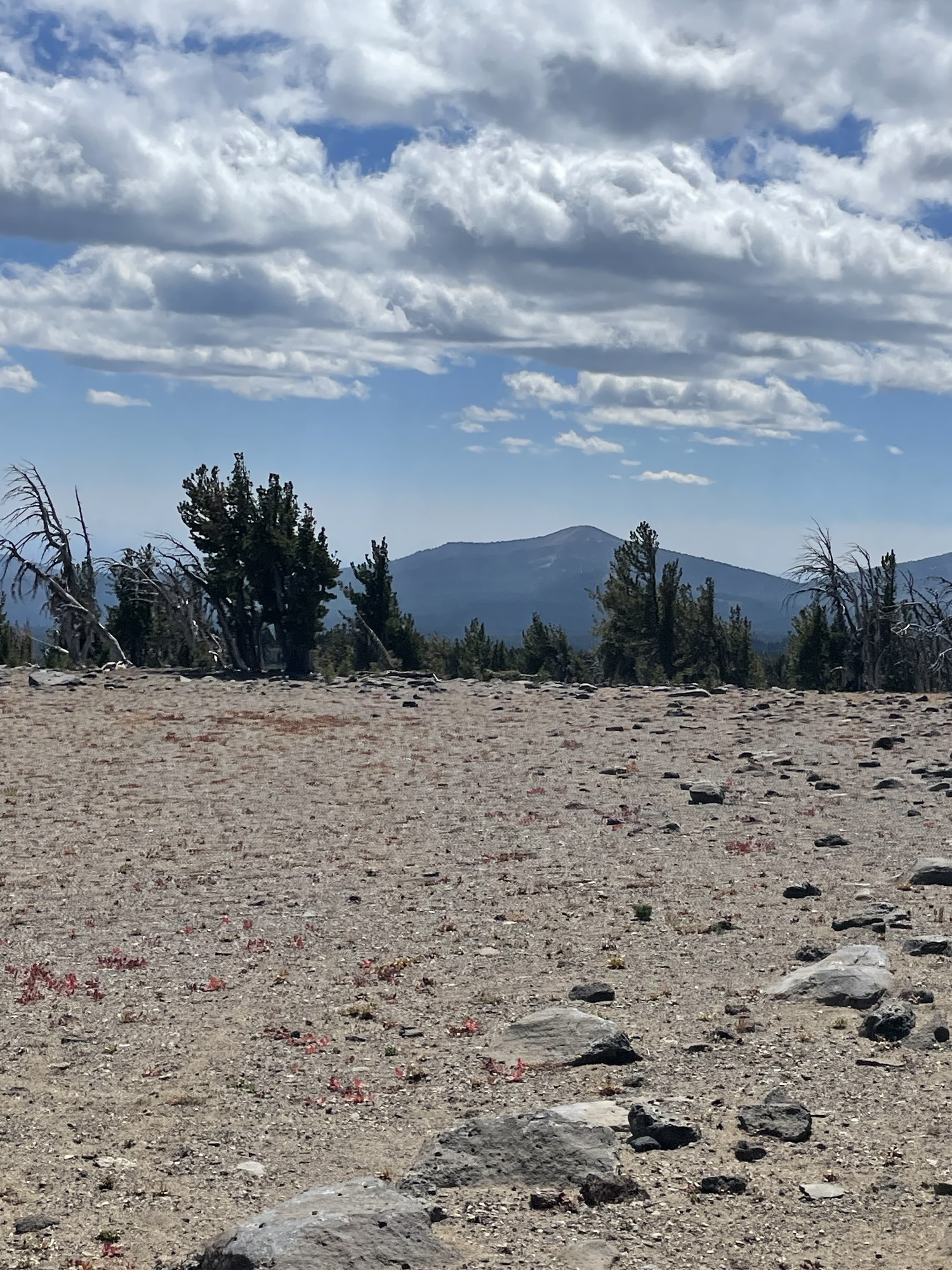
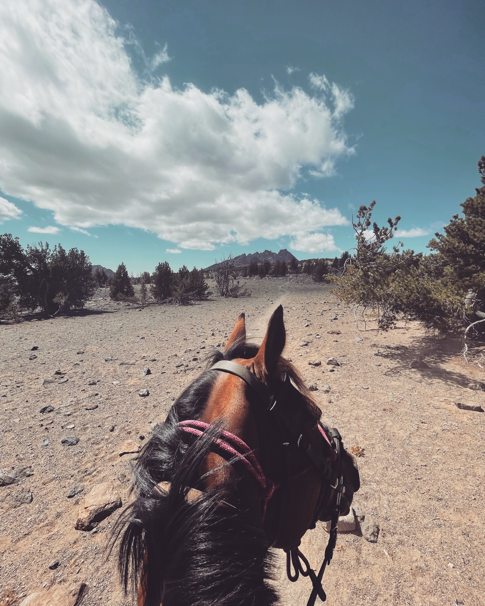
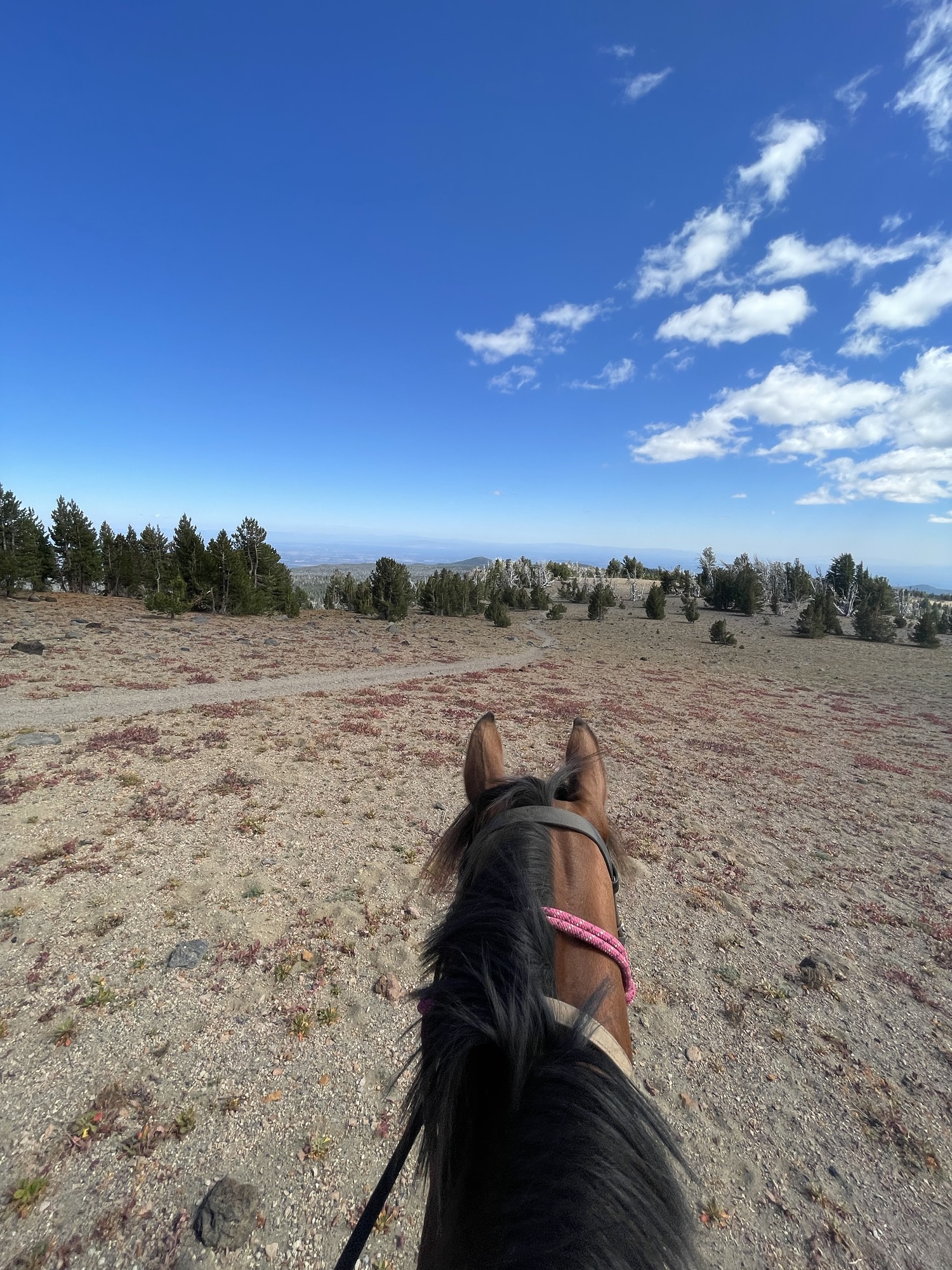
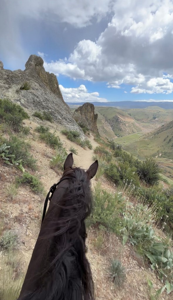
Tam McArthur Rim is a must do ride for anyone. Following a fairly easy non-technical trail brings you to endless views. This trail is located in central Oregon within the Three Sisters Wilderness. The old trail was cliffy and steep so the USFS created a secondary route for horses- making this ride quite enjoyable and safe.
Trail Stats:
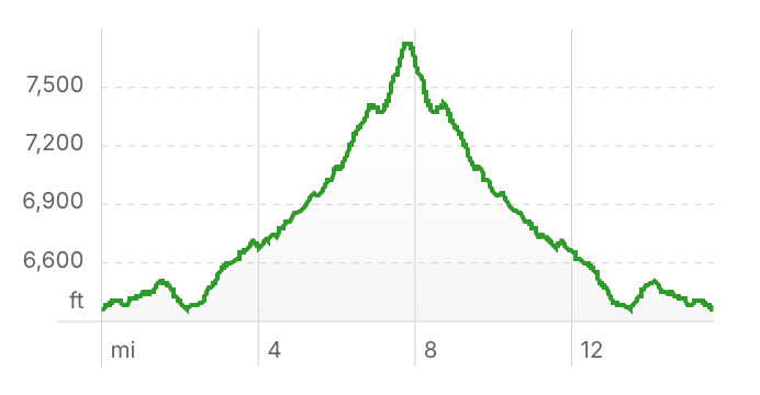
- 15.6 mile out and back
- Elevation Gain: 1,915 feet
- Elevation Loss: 1,907 feet
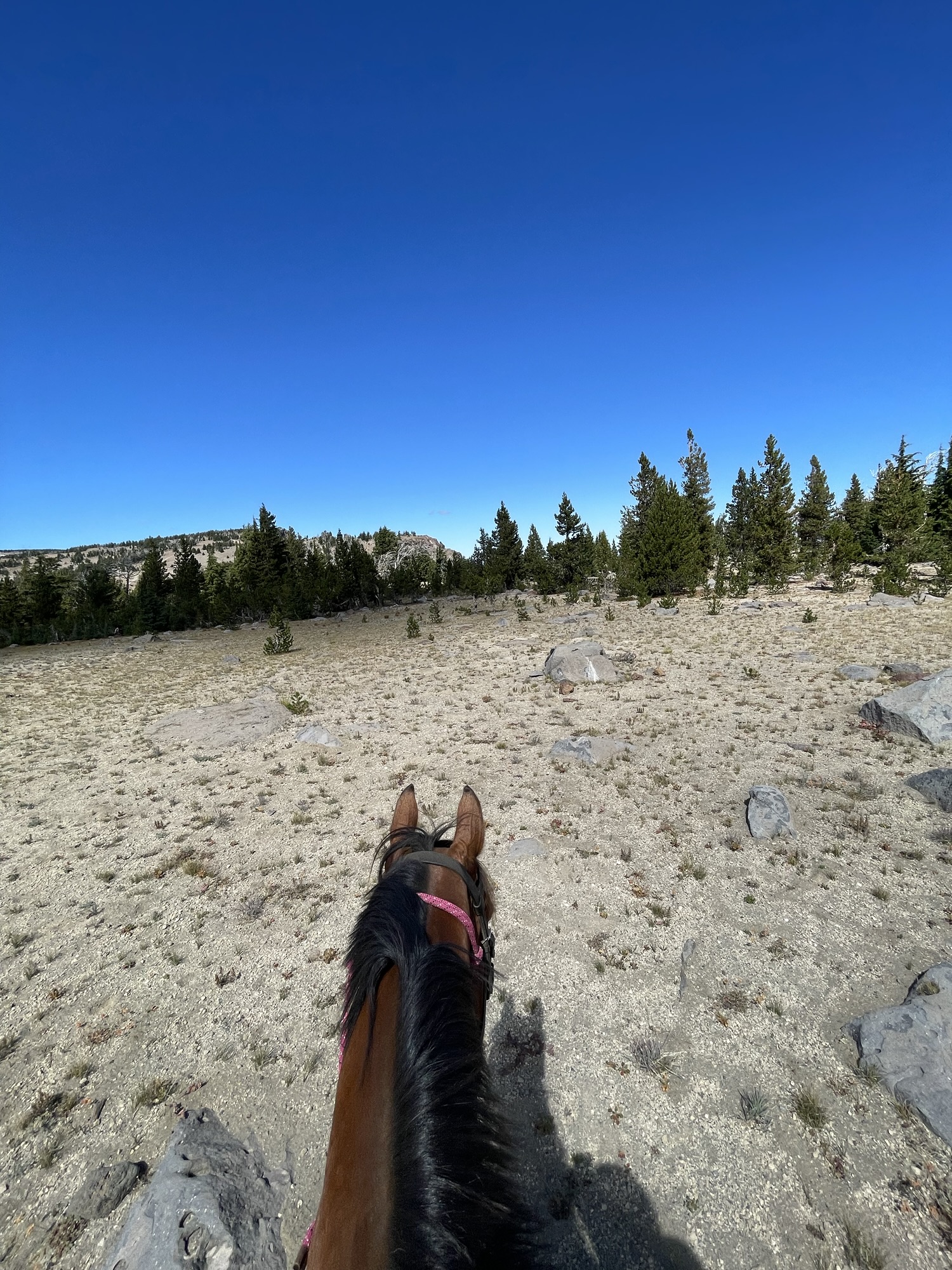
- Max Elevation: 7,728 feet
- Difficulty: Moderate
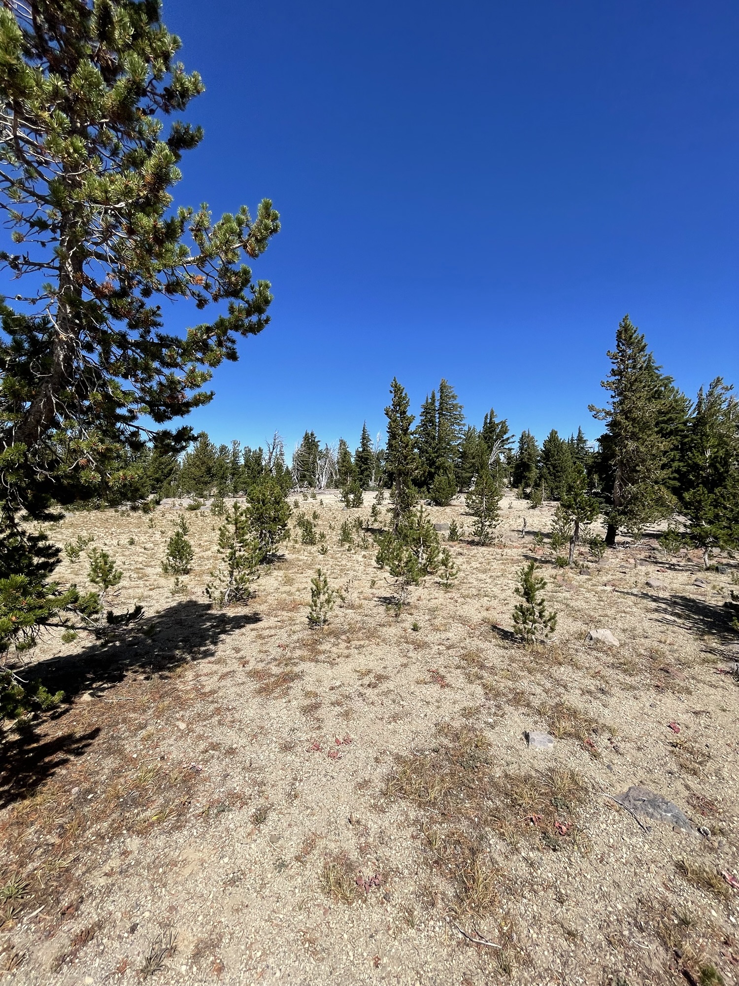
↗ What does this mean? - Footing: Sandy/dirt single track.
- Hoof Protection: Barefoot OK.
← Back to Trail Catalog
← Explore more trails in Central Oregon
Facilities: Three Creek Meadow Horse Camp
Water Sources: Stock tank and creek in camp, no water on trail.
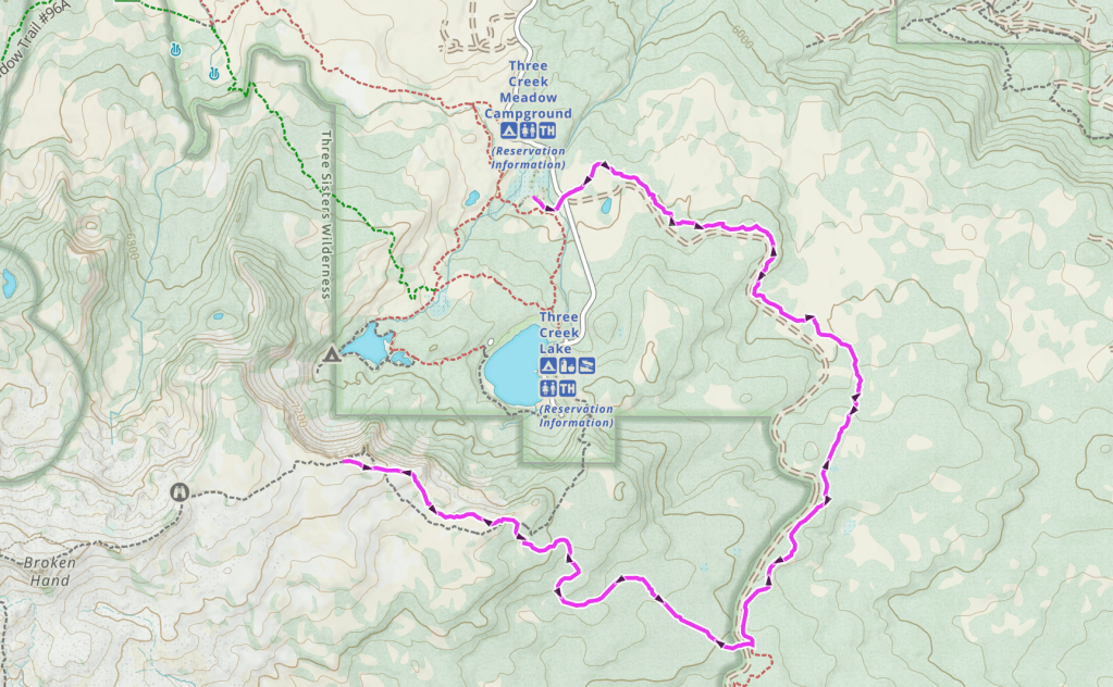
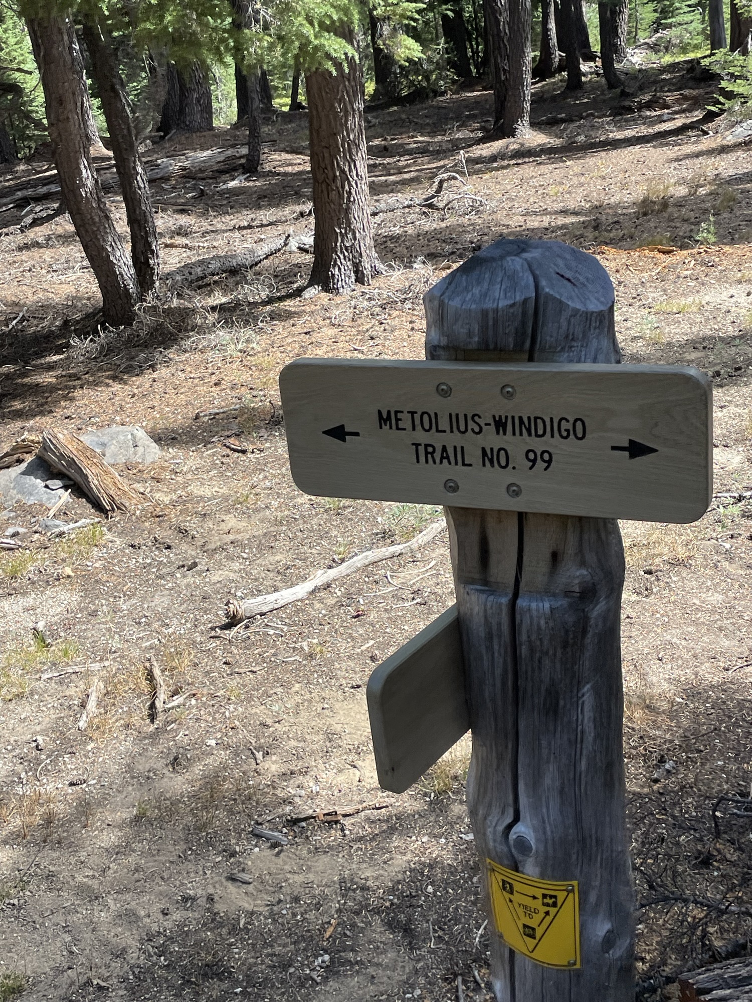
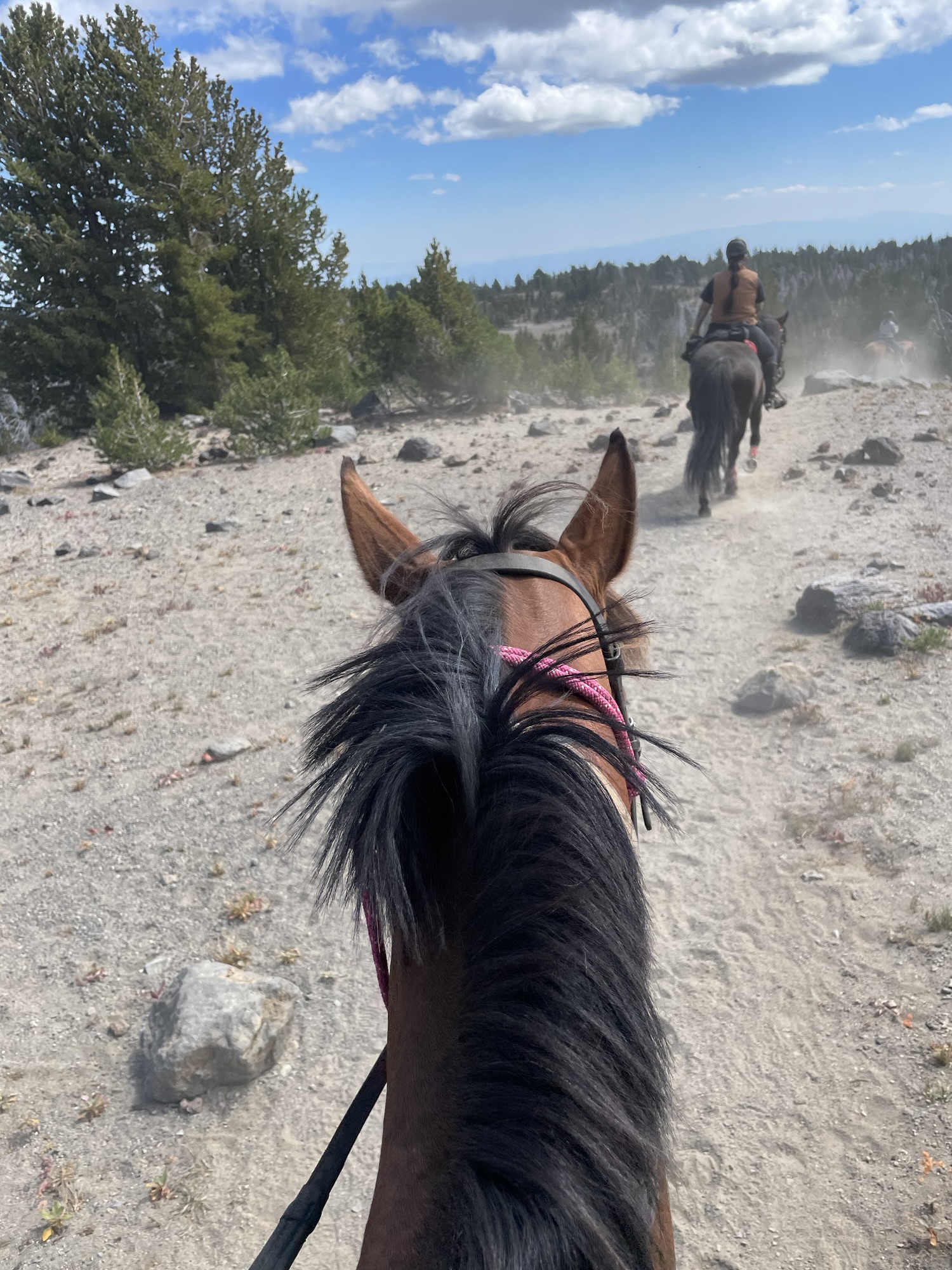
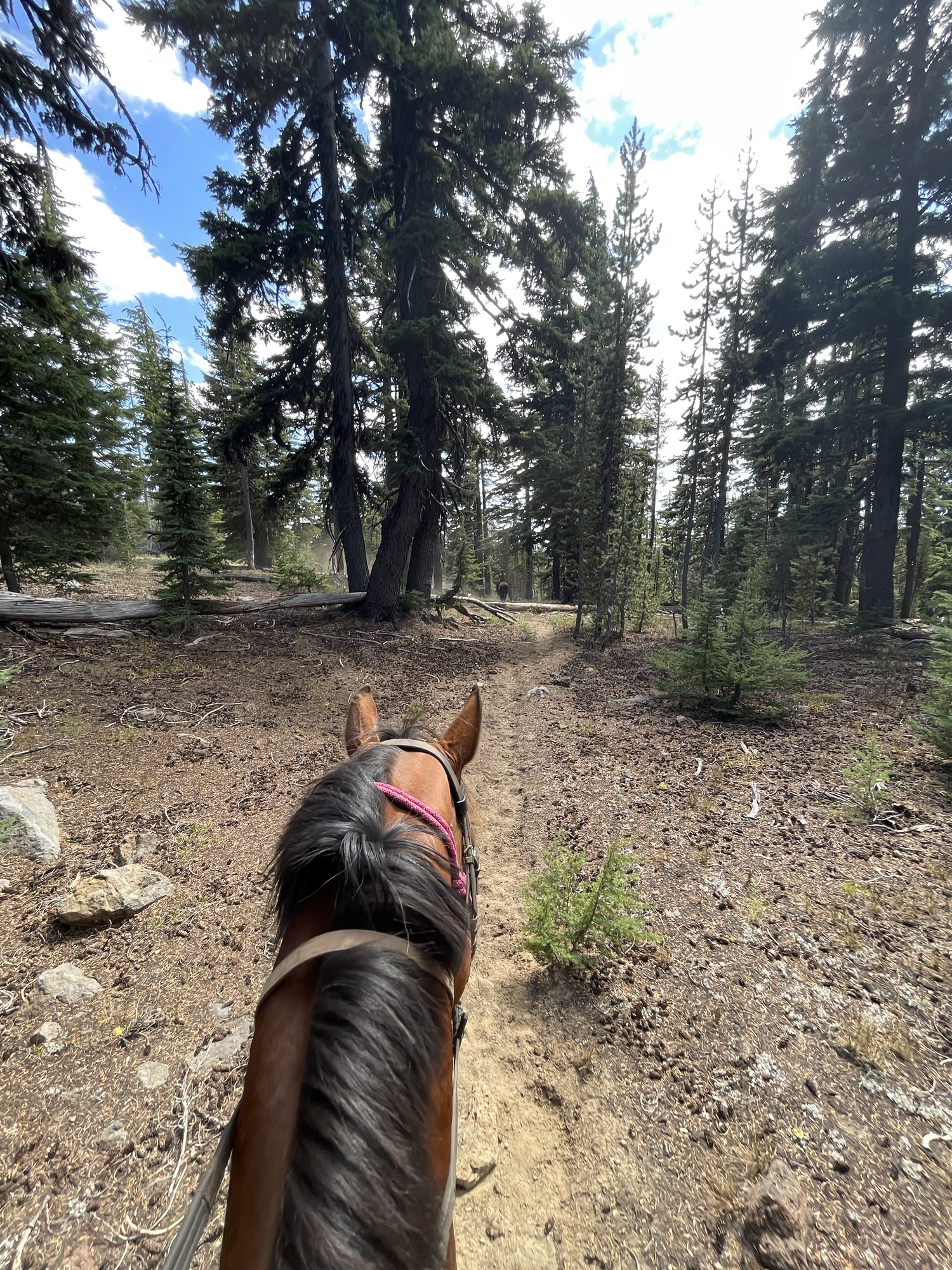
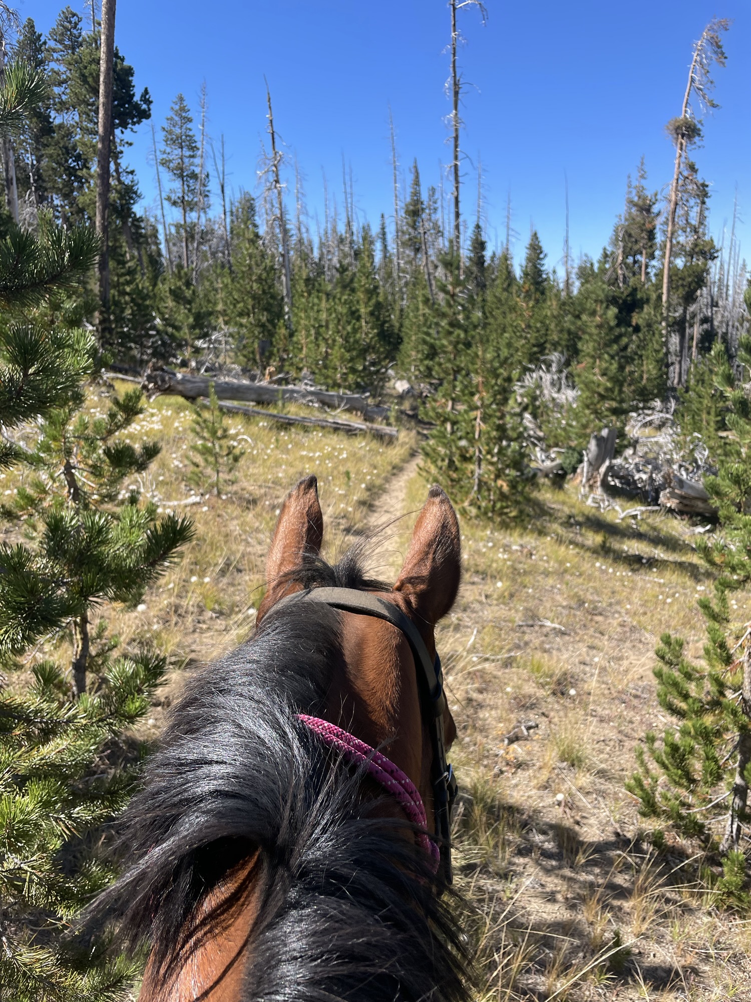
Trail Info: Head out of camp and pick up the Metolius-Windigo (South) across the main road. Follow this for 4.4 miles. At the junction, take Tam McArthur Rim Horse Trail for 2.1 miles. At the next junction, veer left onto Tam McArthur Rim Trail for 1 mile. Return the way you came.
Trail Challenges: Elevation gain. Mountain bikes. Exposure to weather.
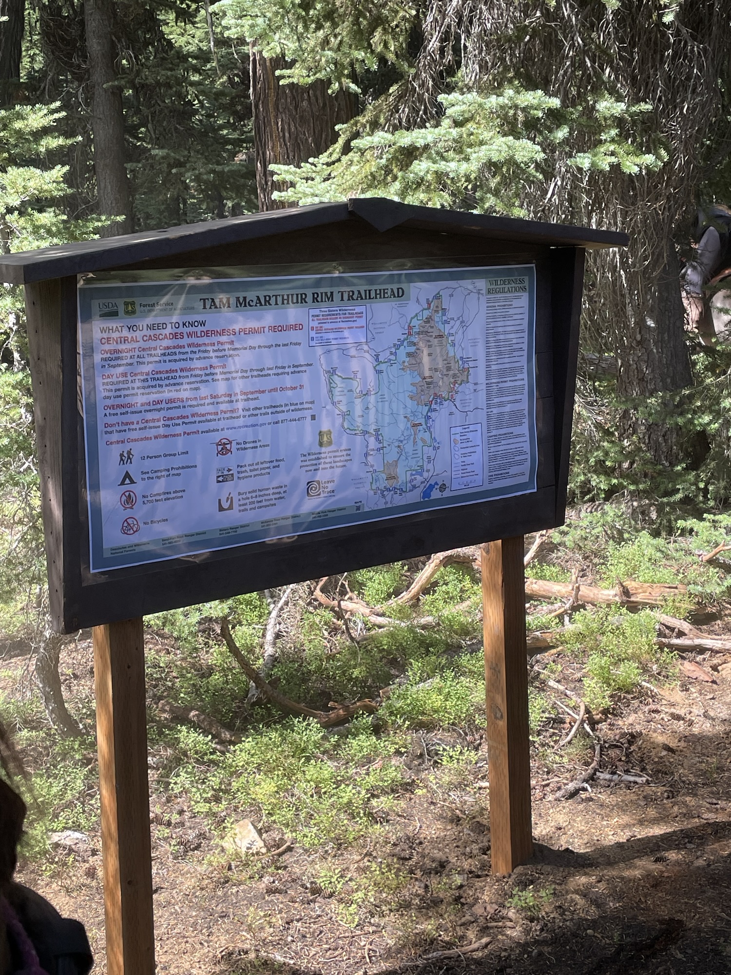
Permits: Central Cascades Wilderness Permit
Backcountry Sites: Continue south on Metolius-Windigo to Happy Valley for grazing and highline trees.
Cell Service: Verizon – spotty on trail, great at the top.
Fuel: Chevon (smaller rigs, can be busy) – 1001 Railway, Sisters, OR 97759
GPX File: OHT: Tam McArthur Rim
Directions: From Sisters, OR: Travel 15.2 miles south on Forest Road 16 (Elm Street in Sisters).
Map:
← Back to Trail Catalog
← Explore more trails in Central Oregon


If you’d like PNW trails, camps and backcountry information delivered right to your inbox, subscribe below so you don’t miss out!


Leave a comment