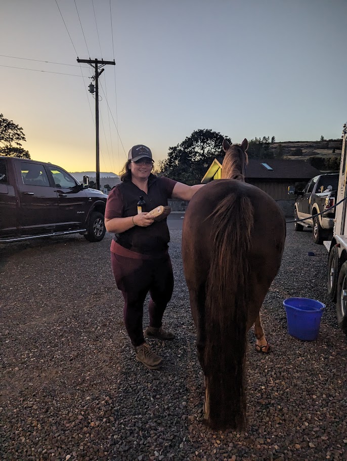
Submitted by: Jamethiel Morse, please check out her blog; We Are On the Loose
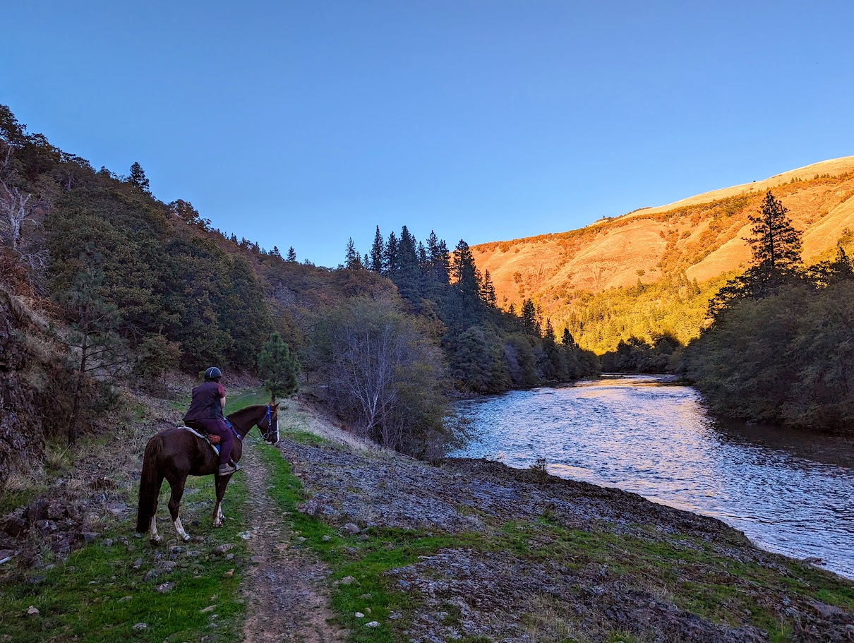
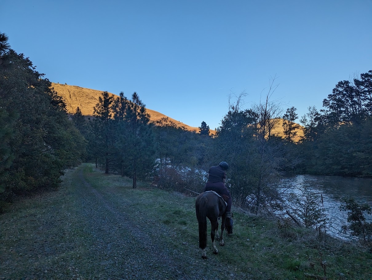
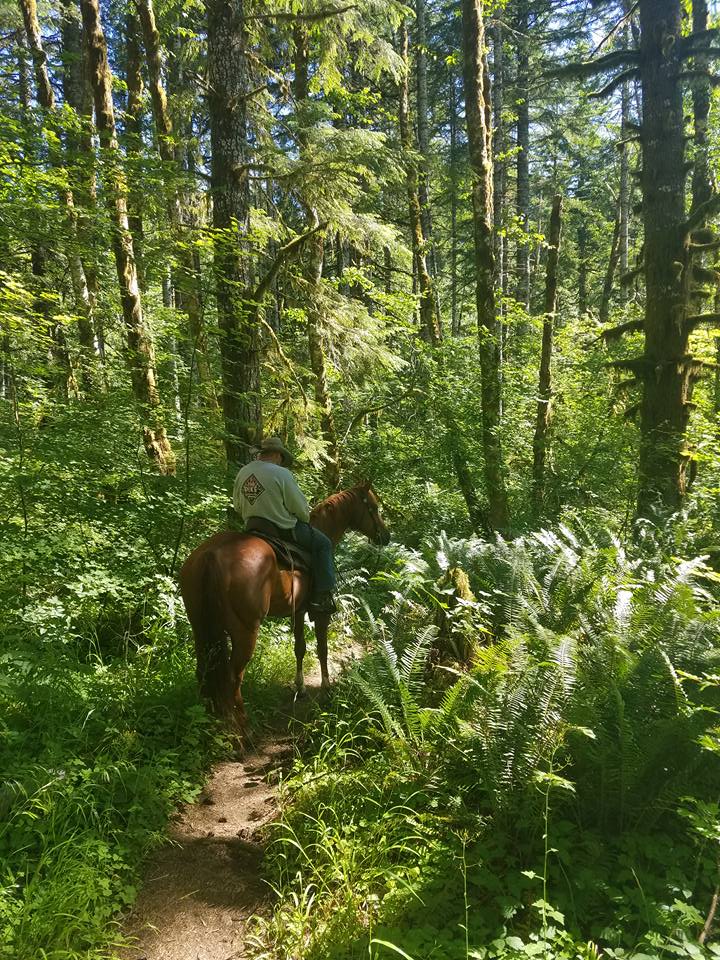
This 31-mile historic railroad corridor trail allows horses on the first 13-miles for a low elevation, scenic river ride. The trail starts at Lyle Trailhead in the Columbia River Gorge and follows the river North to town of Klickitat. Opportunities for a long 26-mile round-trip ride or grab a friend and start at opposite ends, swapping keys half way.
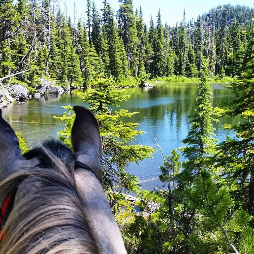
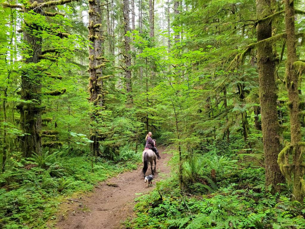
This trail has some busy sections, highway crossings, and passes several farms along the way. However, most of it is quiet and rural feeling, with amazing scenery. Best in late springs for wildflowers or fall for autumn colors.
Trail Stats:
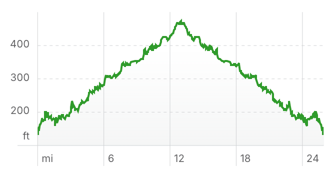
- 13 miles one way
- Elevation Gain: 550 feet
- Elevation Loss: 550 feet
- Max Elevation: 450 feet
- Difficulty: Moderate
↗ What does this mean? - Footing: Mixed footing, some of it is asphalt/pavement, some is big logging type gravel, some is dirt and rocks, some is dirt.
- Hoof Protection: Boots/shoes recommended.
← Back to Trail Catalog
← Explore more trails in the Columbia River Gorge
Facilities: Nearest camping Beacon Rock State Park. Multiple trailheads are available to access this trail:
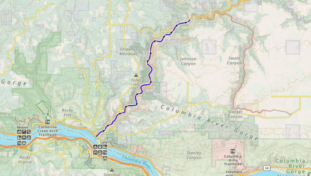
- Lyle Trailhead: right off the highway, has room for trailers, but can get crowded on weekends. Restrooms available.
- Pitt Trail Access: At the 10 mile point of trail. Parking for several trailers on the side of the road. Portapotty.
- Klickitat Trailhead: At mile post 13 in the town of Klickitat.
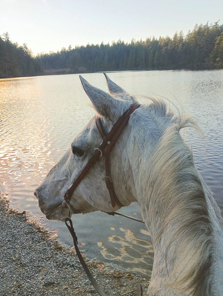
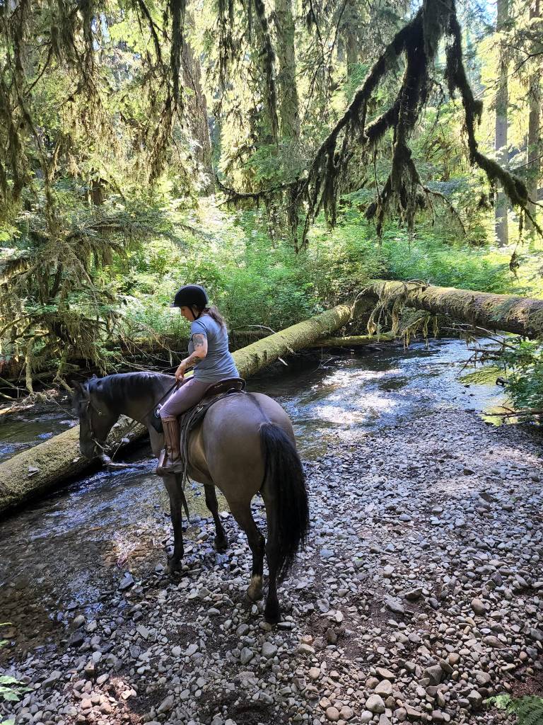
Water Sources: Potable water at Lyle Trailhead. Mile 10 has river access for horses.
Trail Info: Follow Klickitat River Trail north for as long as you wish.
Trail Challenges: Road crossings, high bridge over river, water crossings, steep side hills, cliffs, bicycles, rocky terrain, mountain lion sightings, target shooting nearby.
Permits: Discover Pass
Backcountry Sites: Not suitable for overnight use.
Cell Service: Reportedly good except for a few spots in the canyon.
Fuel: Chevron – 51 Cascade Dr, North Bonneville, WA 98639
GPX File: WHT: Klickitat River Trail
Maintained By: WA State Parks
Directions:
- To Lyle Trailhead: Take SR-14 and turn onto Highway 142, signs for Klickitat. In 100 yards, turn left into the Lyle trailhead parking lot, it’s a circle with 5 pull through designated big rig parking spots (but not specifically horse trailer parking).
- For Pitt Trail Access: Follow SR-142 for 10 miles, trailhead is long gravel area on the right side of the road, with a turnaround.There is good river access here to walk the horses into the river or drink, there’s a bit of a beach. Room for 10-12 rigs if everyone parks well.
- To Klickitat Trailhead: Travel 14 miles north from Lyle Trailhead on SR-142. Turn left on Durkee Road and an immediate left again. Park near the old caboose. The community park abuts the trail one block south and across SR-142 from the gas station. The trailhead is the location of a former railroad siding. Going south from here is the only current option.
Resources:
Map:

← Back to Trail Catalog
← Explore more trails in the Columbia River Gorge


If you’d like more PNW trails straight to your inbox, be sure to subscribe!

Leave a comment