Submitted by: Tess Buchannan
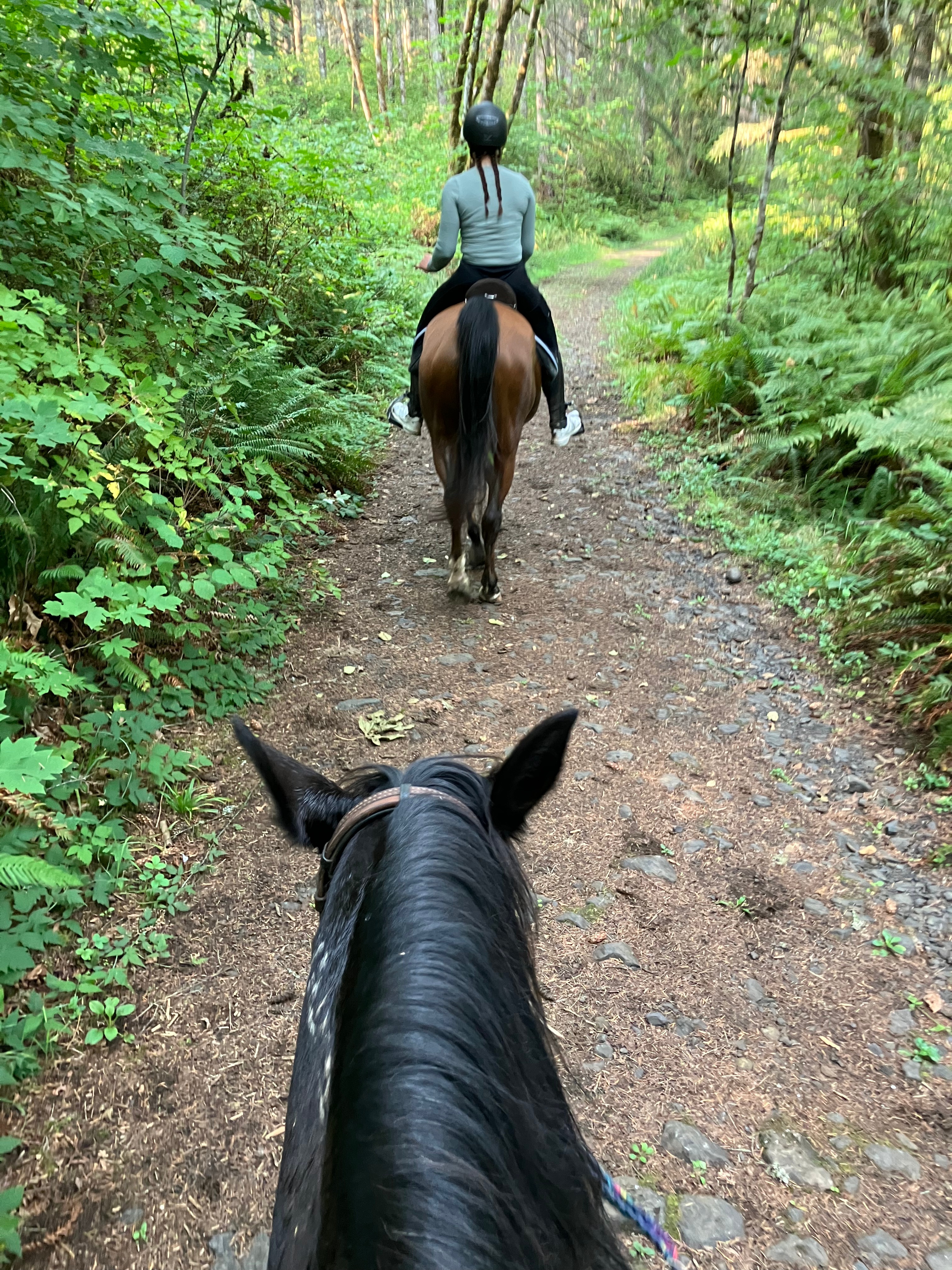
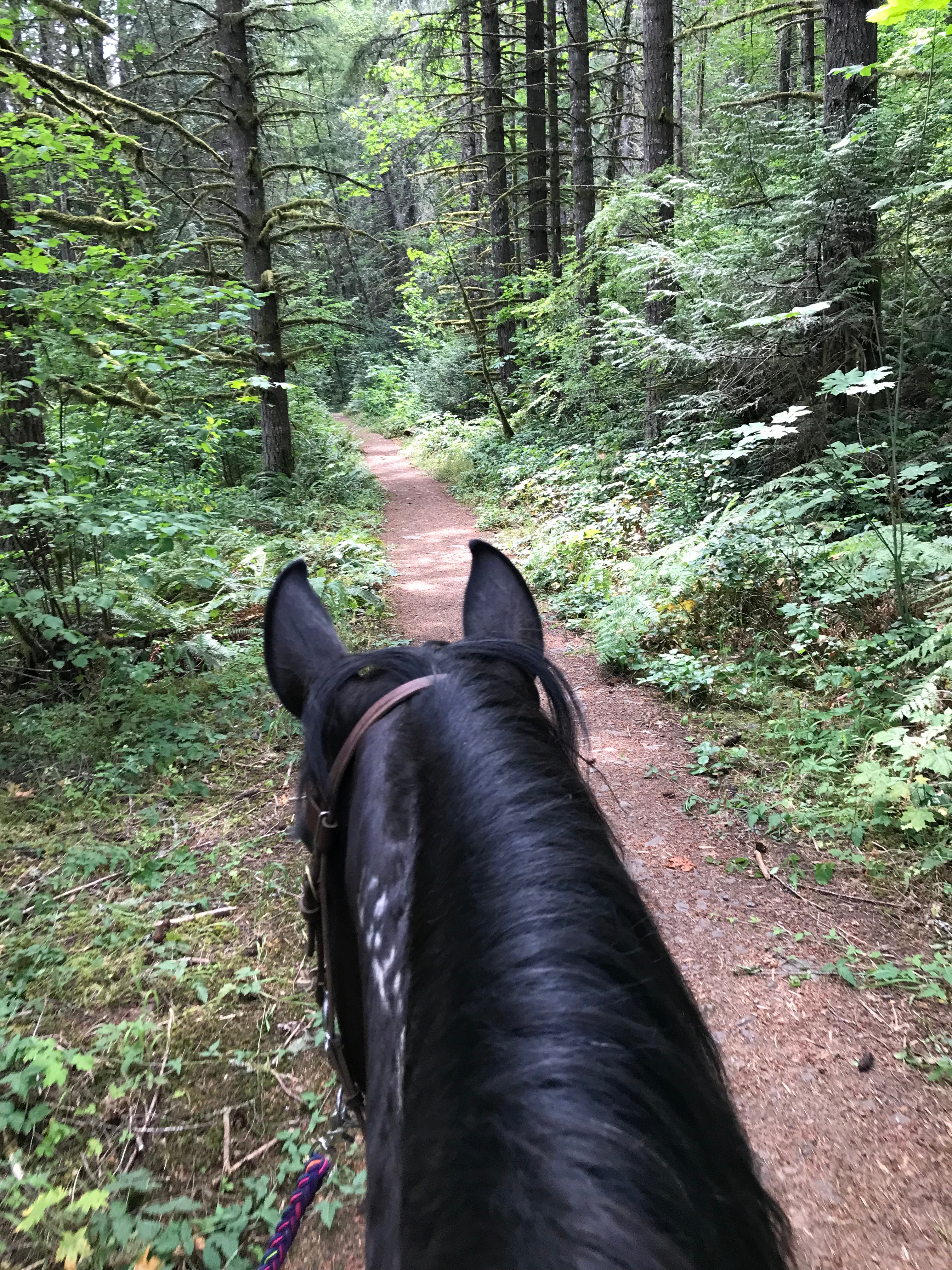
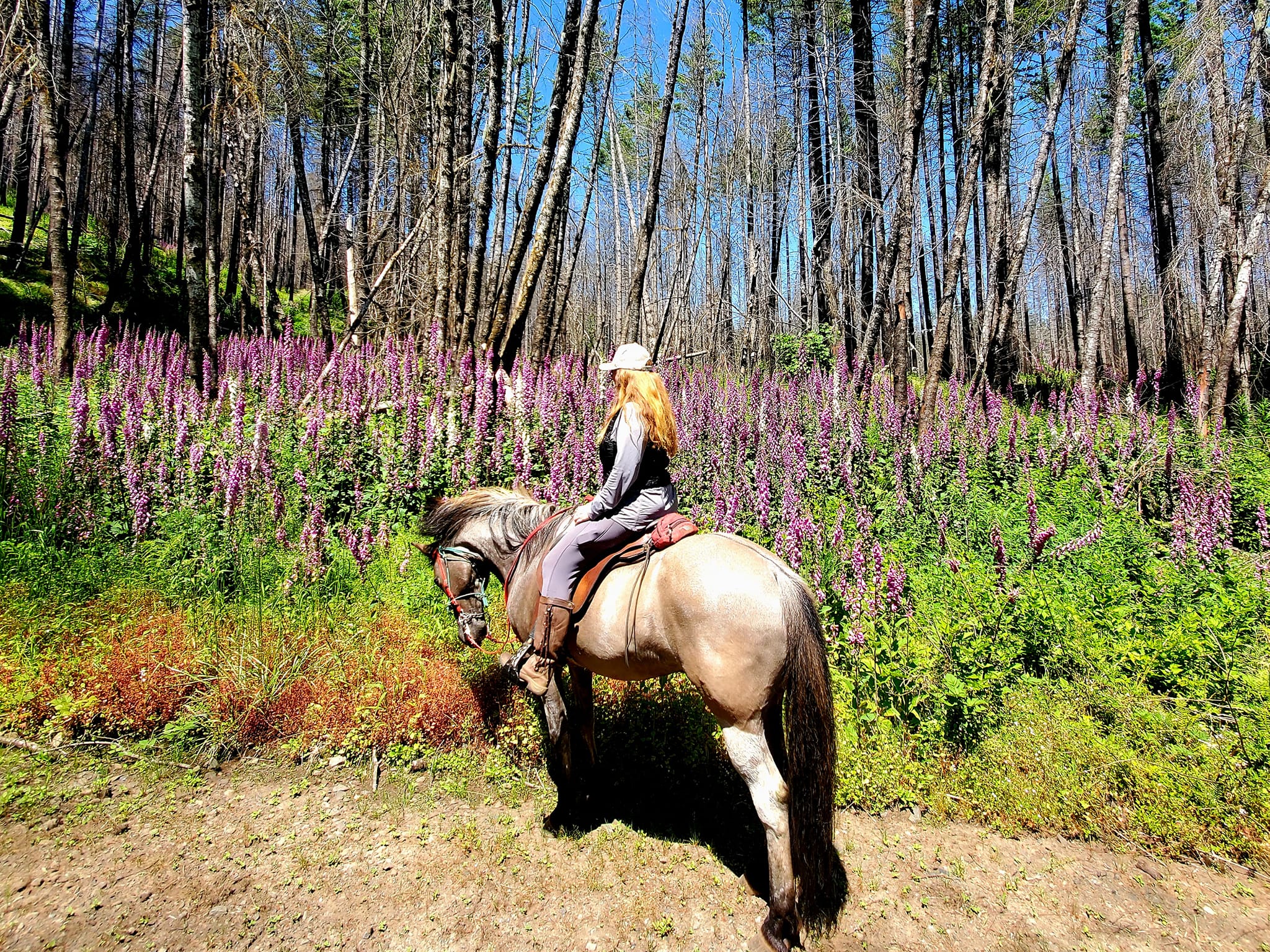
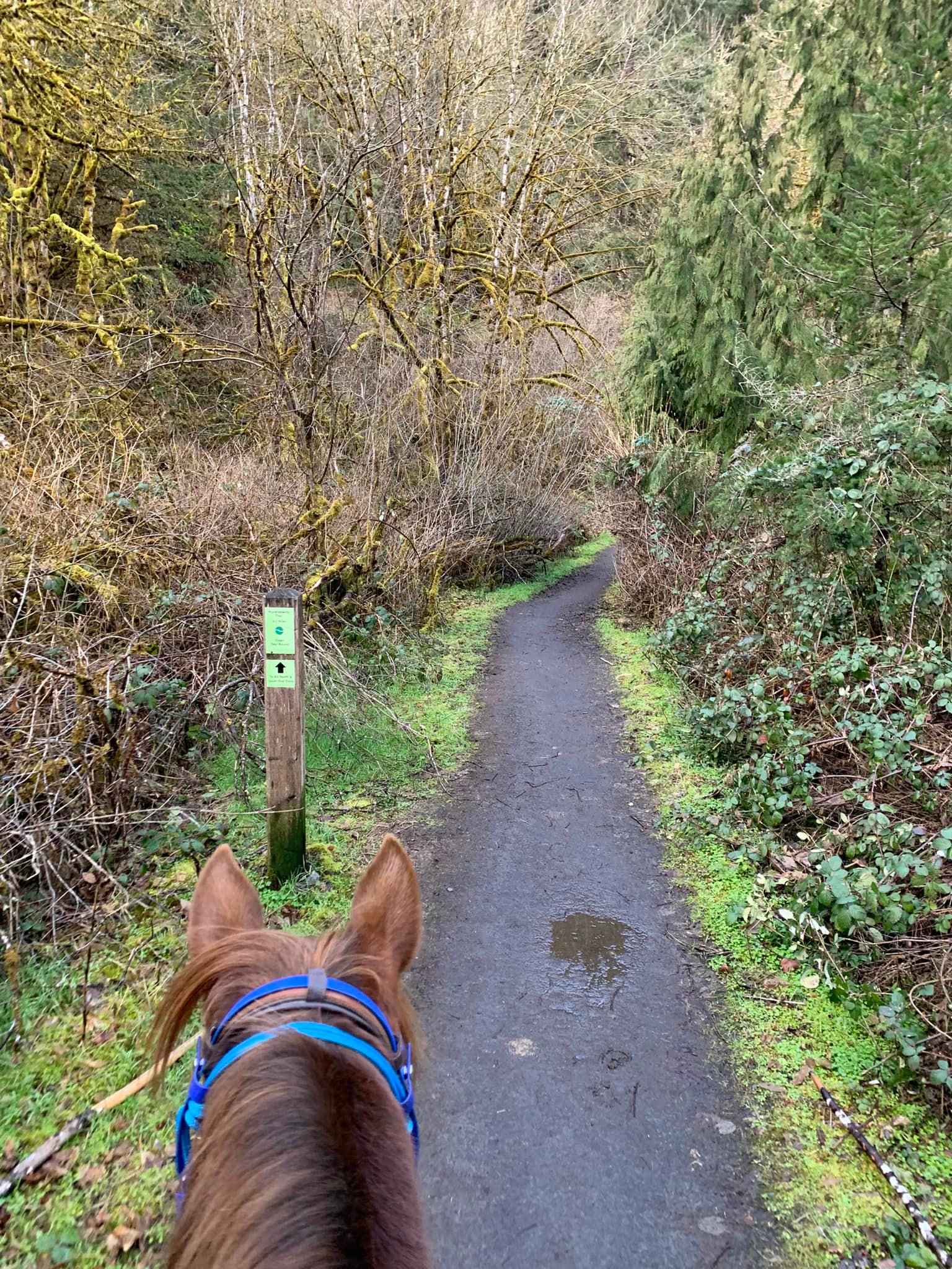
Huckleberry Trail runs through Hardy Creek, also known as the Molalla River Recreation Corridor. Offering lush forest scenery and wildflowers in the spring with over 50 miles of trails to explore. This trail system is popular amongst equestrians living on the South or East side of Portland metro and beyond.
Trail Stats:
- 14 miles out and back
- Elevation Gain: 1,080 feet
- Elevation Loss: 1,058 feet
- Max Elevation: 1,248 feet
- Difficulty: Easy
↗ What does this mean? - Footing: Gravel doubletrack.
- Hoof Protection: Barefoot OK.

← Back to Trail Catalog
← Explore more trails in the Portland Metro area
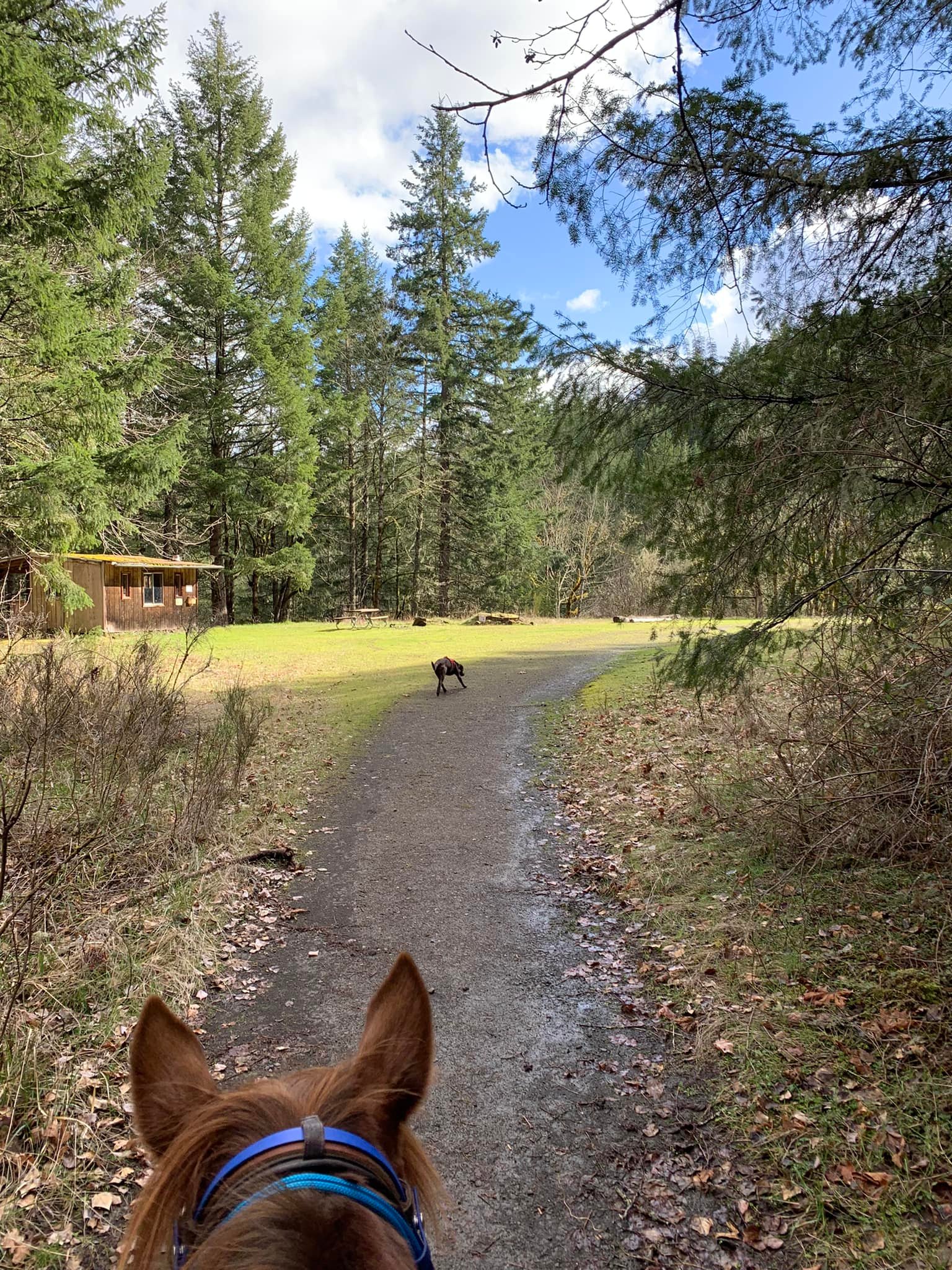
Facilities: Trailhead has a vault toilet and parking for up to 5 trailers. No nearby horse camping.
Water Sources: Hand pump at Three Bears Campground across the road.
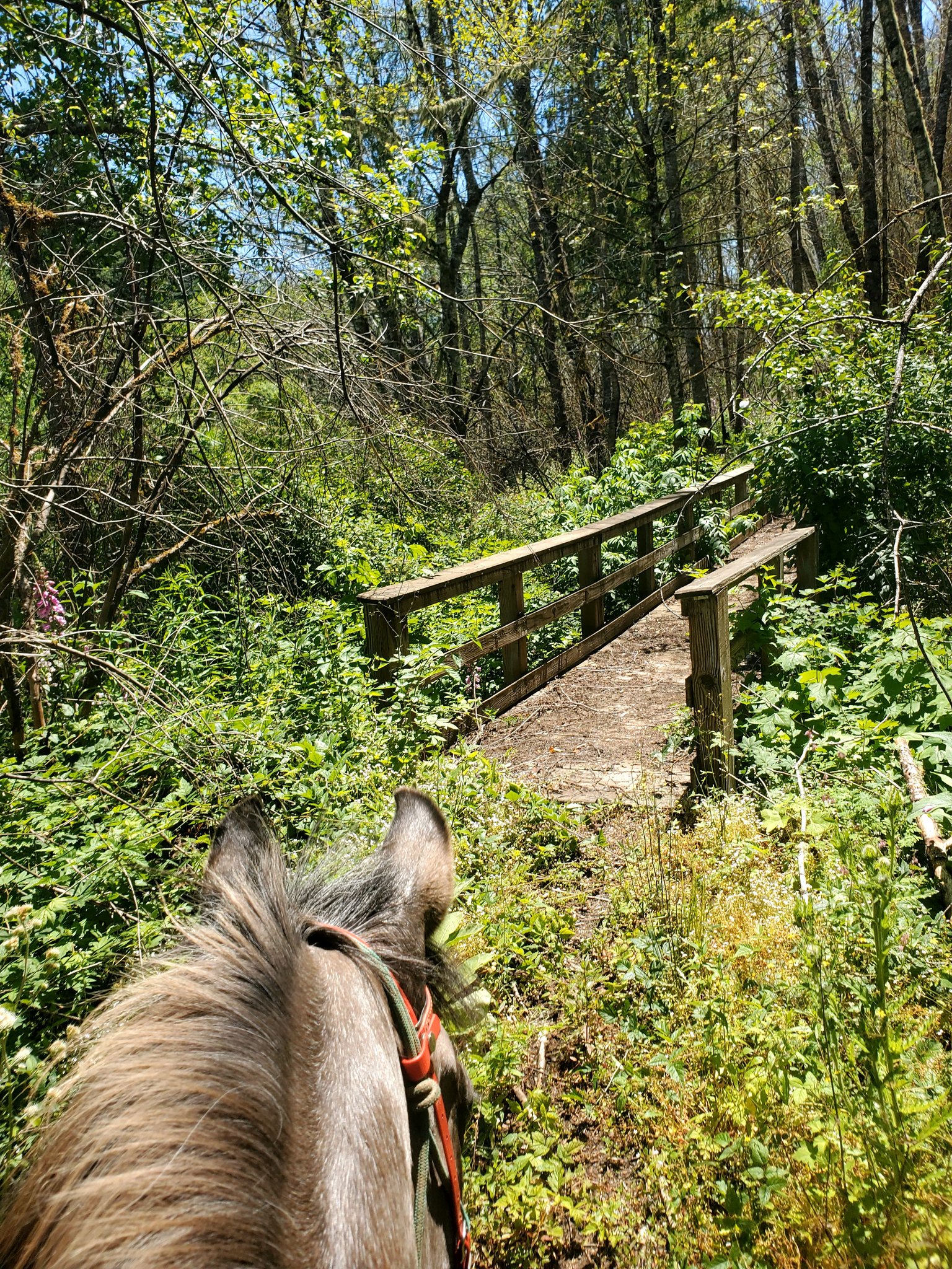
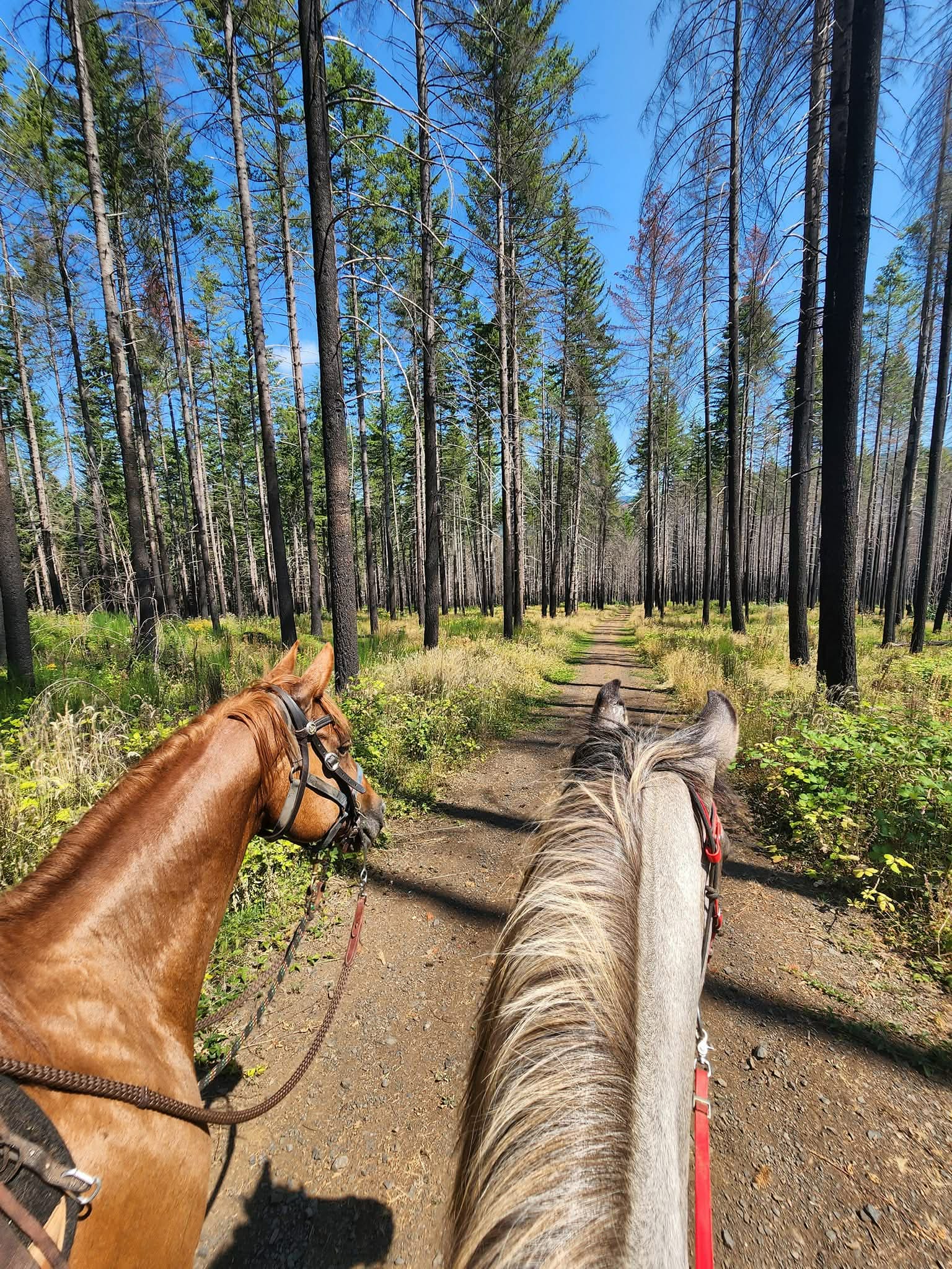
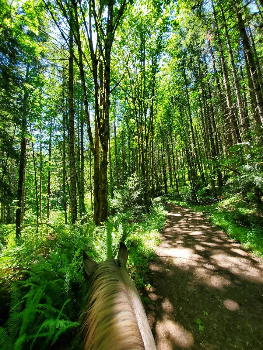
Trail Info: Huckleberry Trail: open year-round. From Hardy Creek Trailhead, travel a quarter mile up the hill until the fork for Rim Trail, Looney Trail, and the Huckleberry Trail. Turn left to follow the Huckleberry Trail. ln approximately 2.3 miles, you will pass Annie’s Cabin on your left – this is a great spot to stop and graze or rest at the picnic table. The trail continues about 5 miles past that point, to an abrupt end at Aquila Vista, where there is a vault toilet and several picnic shelters. This camp site is closed as of 11/2025 due to wildfire damage in 2022. This makes a convenient location to turn around, or utilize the Wetlands trail to make a tiny loop and turn back around. Beware of downed trees on the Wetland Trail, as well as one bridge.
The singletrack trails (Rim Trail, Deer Skull, Fern Creek, Elk Run, Rim Tie, Bear Woods, Squirrel Creek, Red Vole, and Bobcat, among others) are open to horses May 15 – October 15.
Trail Challenges: Downed trees may present obstacles. Mountain bikes and hikers are extremely common. Bridge. Trail signage is not great, and it gets worse the further you travel from the trailhead. Extensive wildfire damage from 2022.
Permits: None.
Backcountry Sites: Not suitable for overnight use.
Cell Service: Verizon – very limited/spotty.
Fuel: Chevron – 12700 OR-211, Molalla, OR 97038
GPX File: OHT: Hardy Creek/Molalla River Corridor
Maintained By: BLM
Directions: Drive I-5 south and take Exit 271 for Woodburn and Silverton. Turn left on Highway 214 (Newberg Highway) for Woodburn, Mt. Angel, and Silverton. Drive 2.6 miles to the intersection with Highway 99E and keep straight here on Highway 211 for Molalla. Keep on Highway 211 for 11.4 miles and reach the junction with the Cascade Highway (Highway 213). Keep straight at this junction for Molalla and Estacada. Drive another 1.4 miles to the four-way junction in the center of Molalla and keep straight for Colton, Estacada, and Sandy. Go 0.3 miles and turn right onto S. Mathias Road for Feyrer Park and Dickey Prairie. After another 0.3 miles, bend left onto S. Feyrer Park Road. In 1.7 miles, just after passing Feyrer Park and crossing a bridge over the Molalla River, reach a T-junction and turn right on S. Dickey Prairie Road. Drive 1.7 miles, and bear right on Dickey Prairie Road at the Dickey Prairie Store. Go 3.7 miles along the river and make a sharp right to cross the Glen Avon Bridge and enter the Molalla River Recreation Corridor. From the previous junction, bend left on the Molalla Forest Road after crossing the river, drive 3.5 miles and turn right into the large gravel parking area at the Hardy Creek Trailhead.
Resources:
Maps:

← Back to Trail Catalog
← Explore more trails in the Portland Metro area


If you’d like more PNW trails straight to your inbox, be sure to subscribe!


Leave a comment