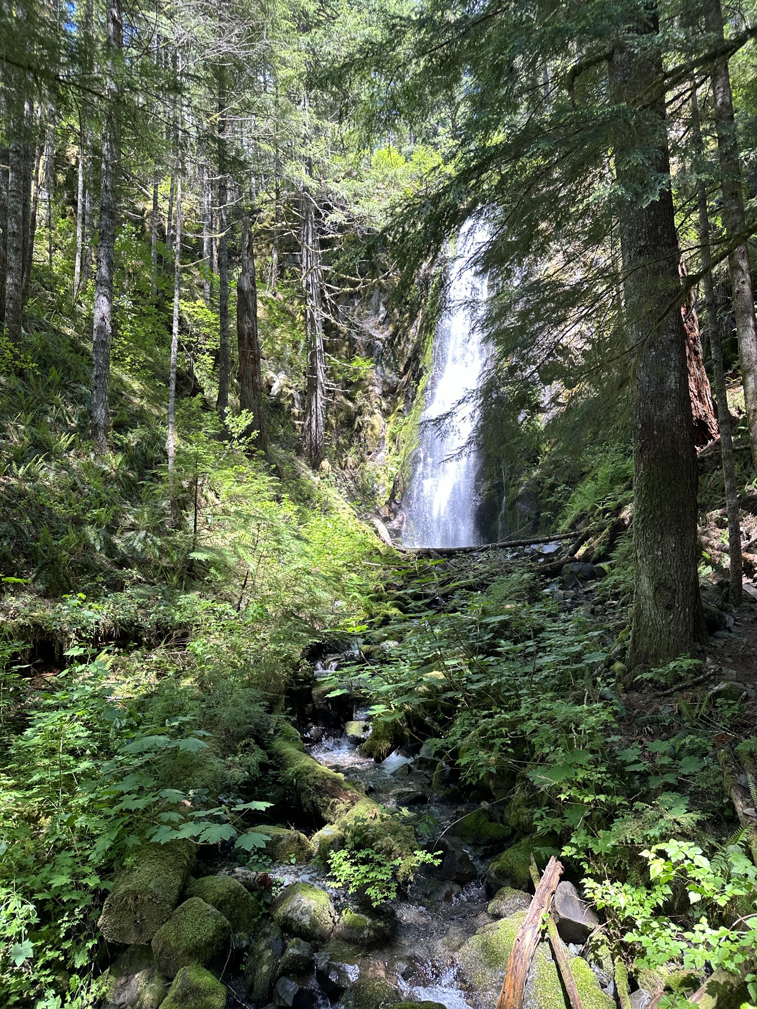
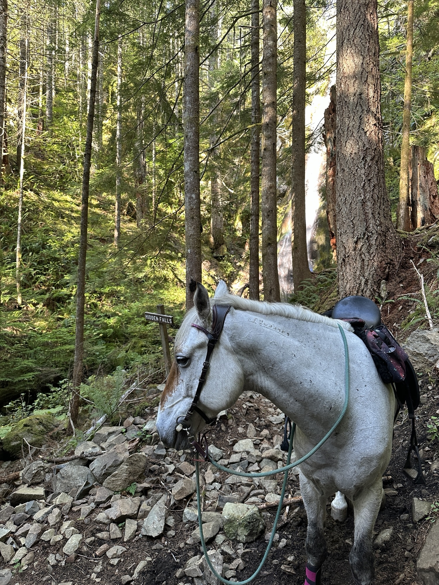
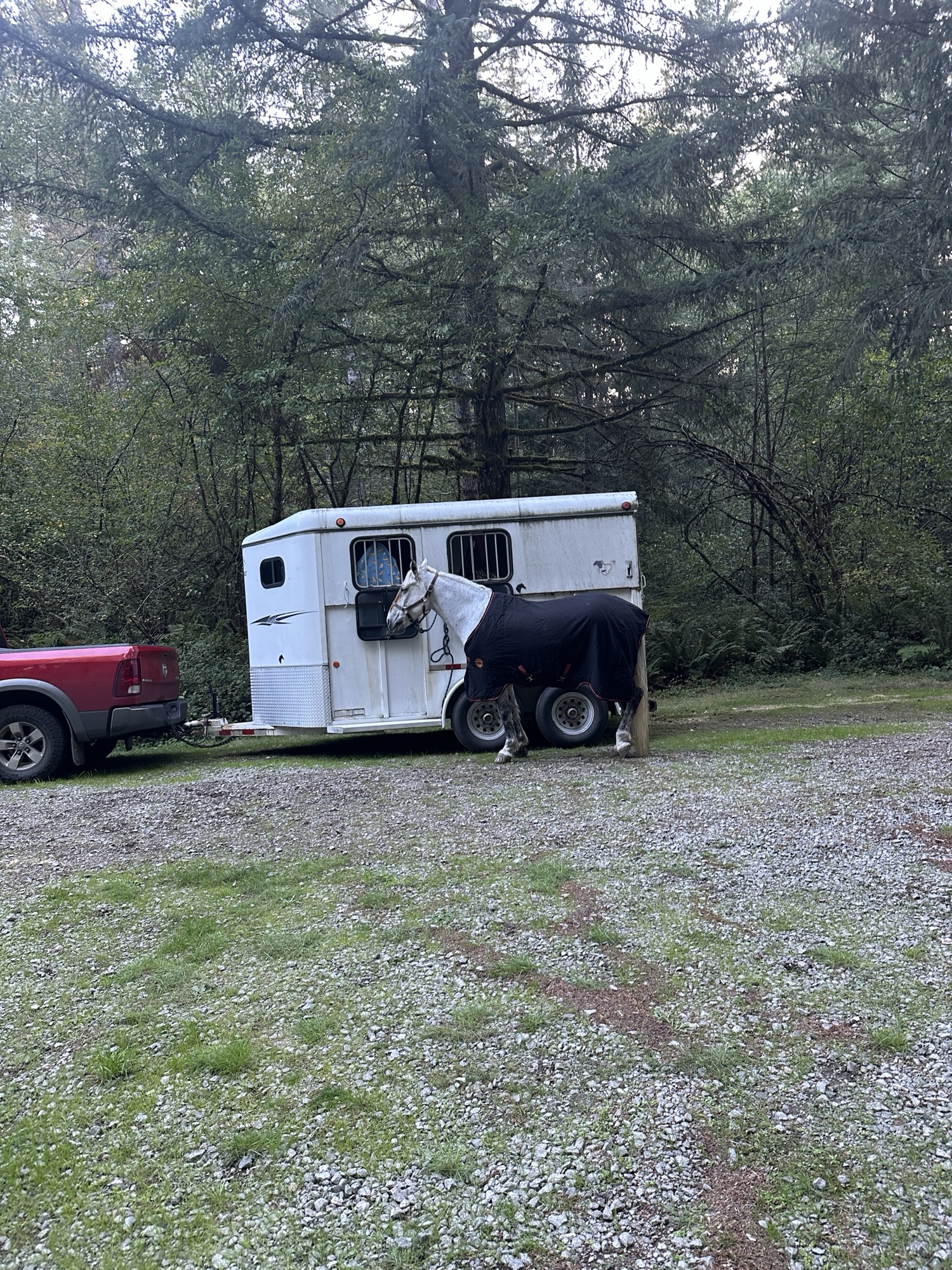
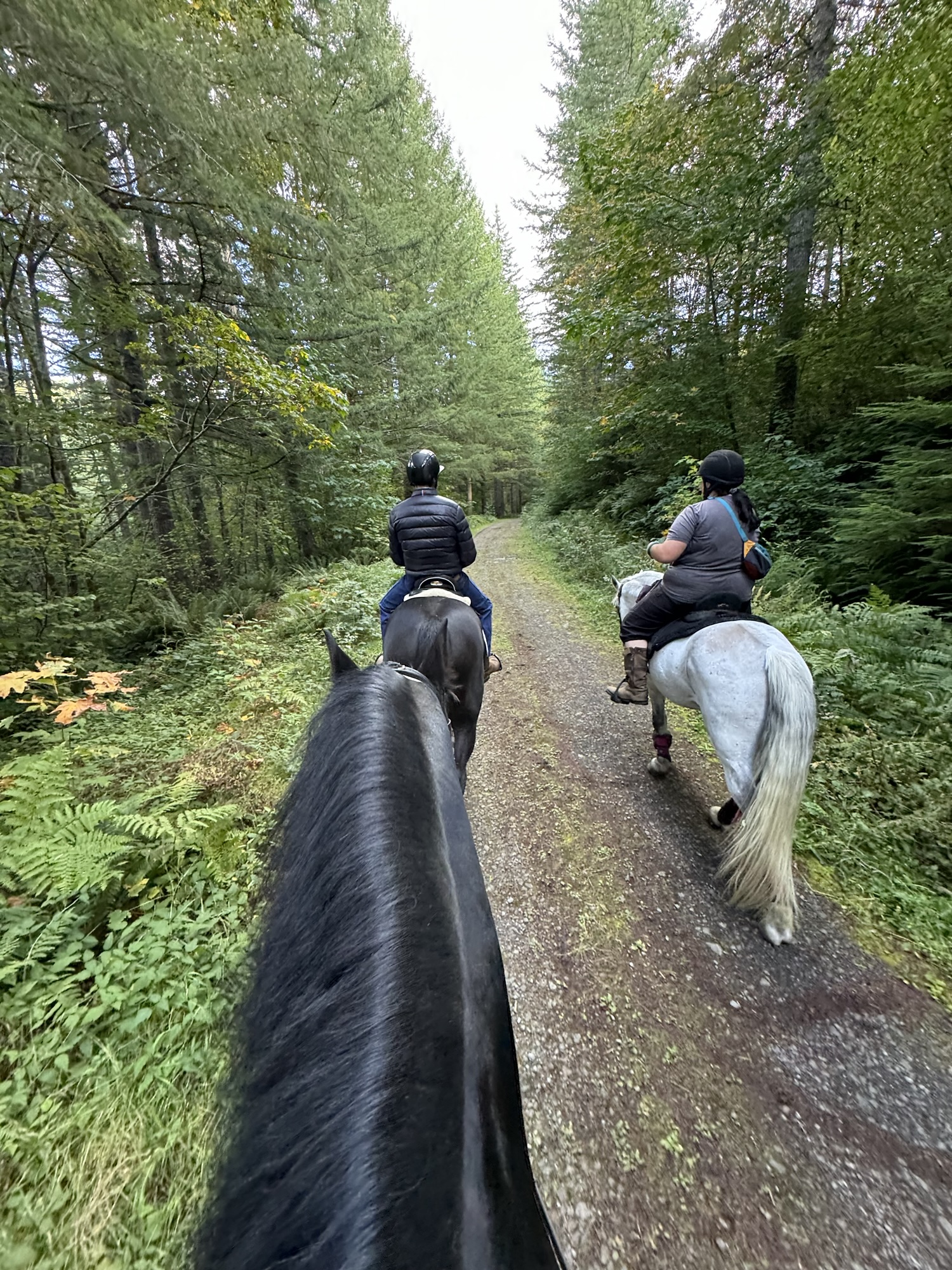
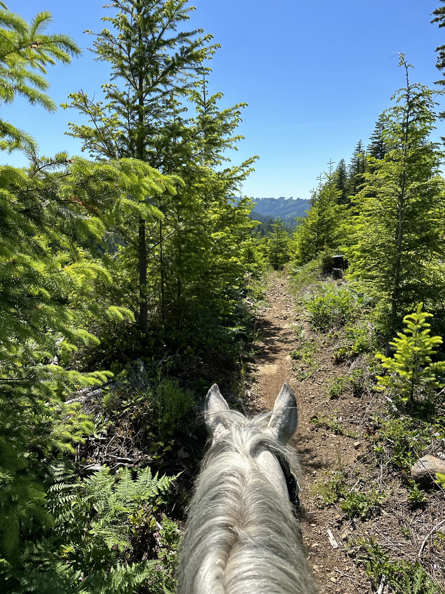
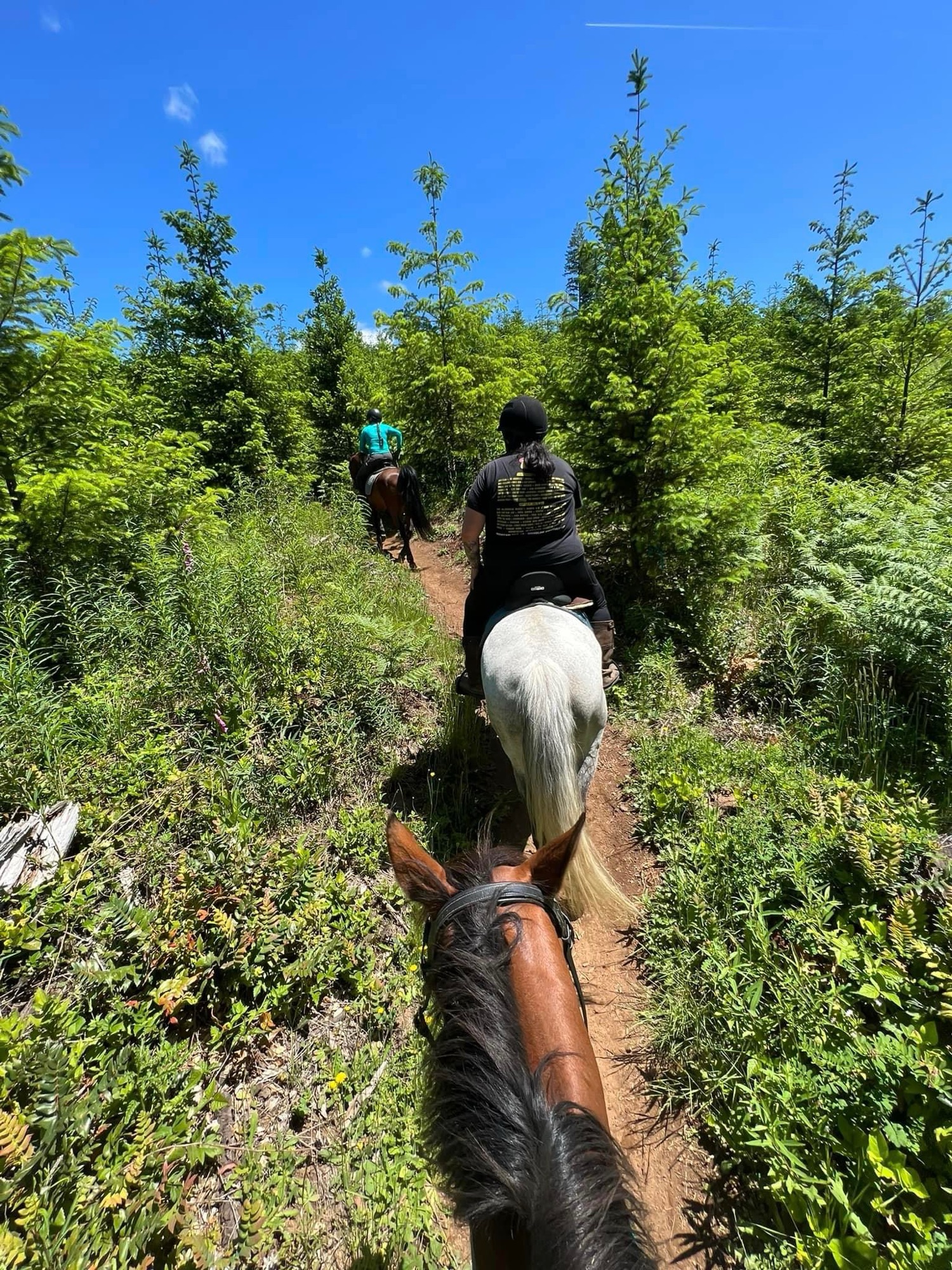
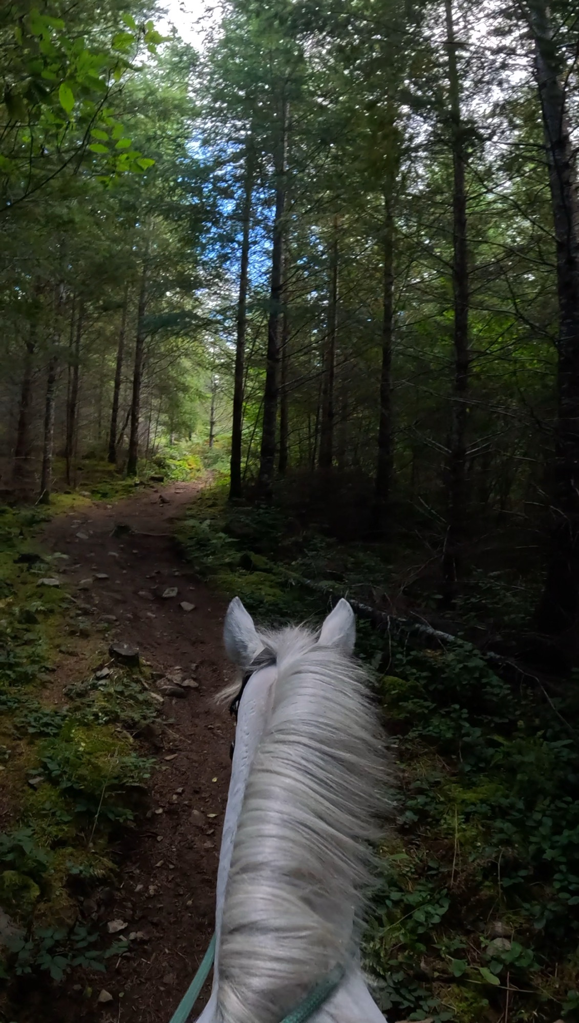
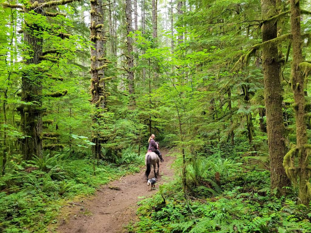
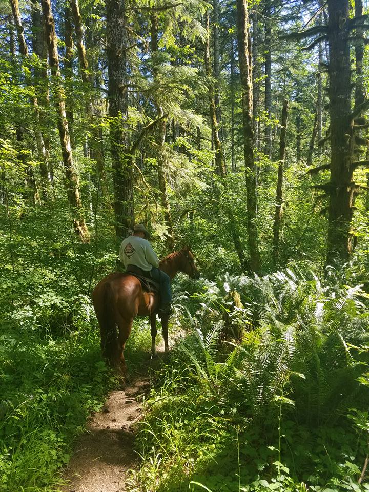
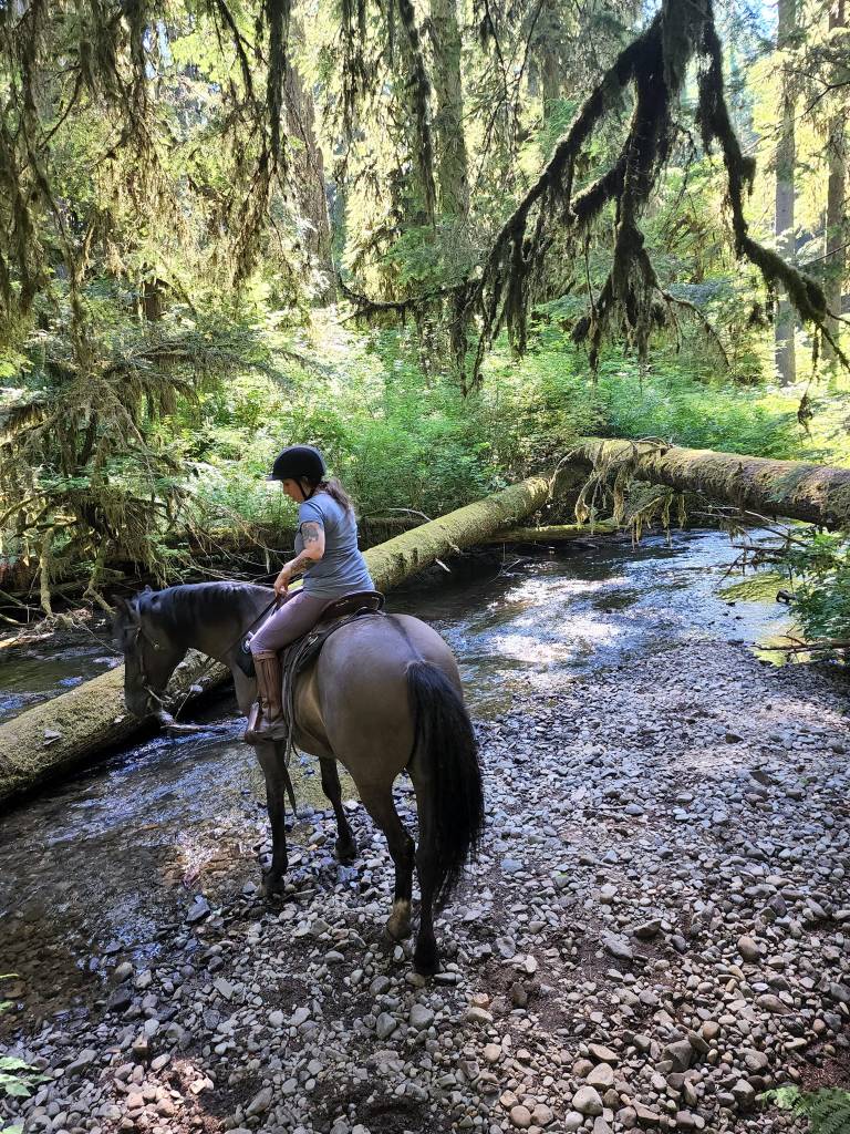
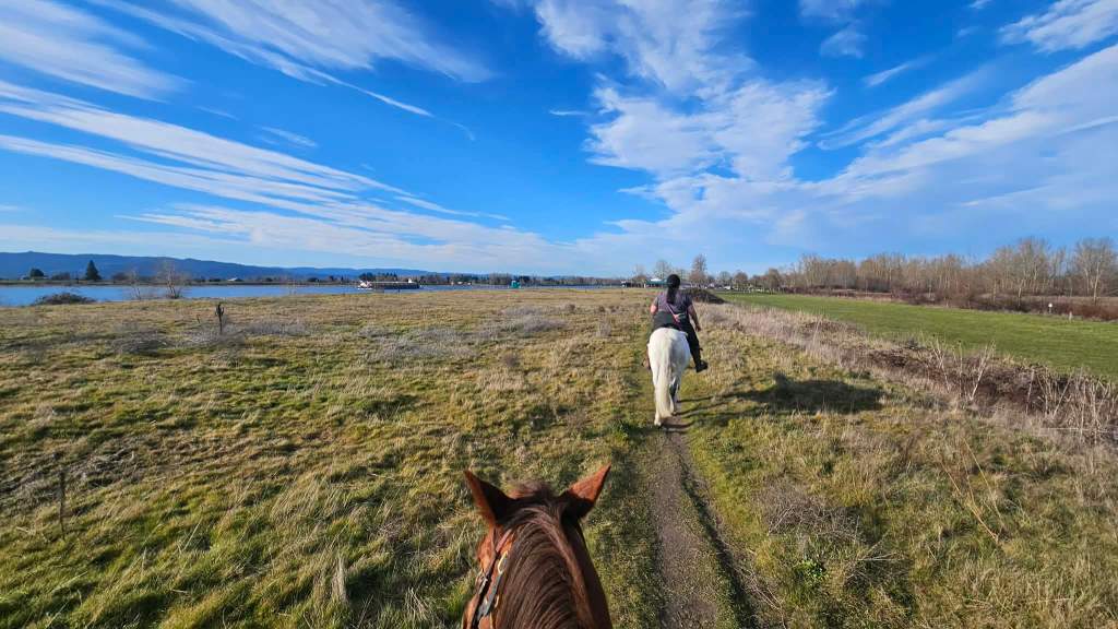
Hidden Falls is reached via the Appaloosa Trail out of Rock Creek Horse Camp in the Yacolt Burn State Forest. This recently developed trail provides access to the falls without the prior 20 mile long trek to get there. Close enough for a day ride if you’re in the Portland area, but campsites available for those who want to stay awhile. Enjoy wildflowers in the spring and lush forest throughout the summer.
Trail Stats:
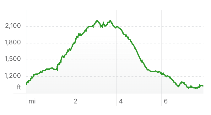
- 7.7 miles
- Elevation Gain: 1,240 feet
- Elevation Loss: 1,302 feet
- Max Elevation: 2,205 feet
- Difficulty: Moderate
↗ What does this mean? - Footing: Some single track trail, gravel roads.
- Hoof Protection: Boots or shoes advised.
← Back to Trail Catalog
← Explore more trails in the Portland Metro area
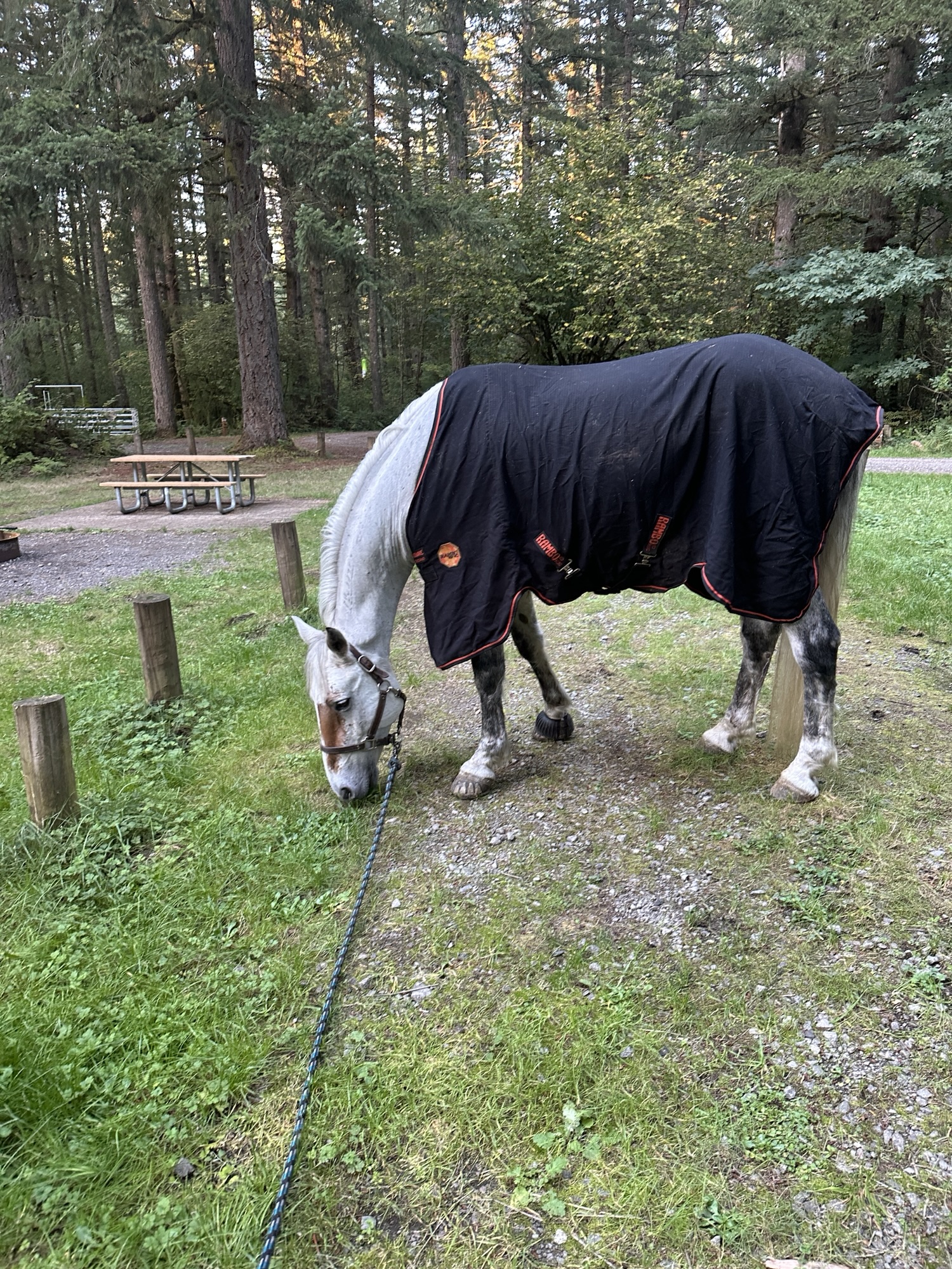
Facilities: Rock Creek Horse Camp. Day use parking, stock water and campsites.
Water Sources: Stock water tank in day use area. Stock watering spot under bridge about half way.
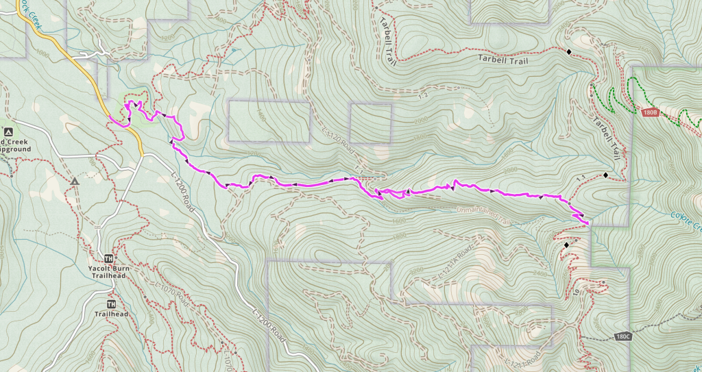
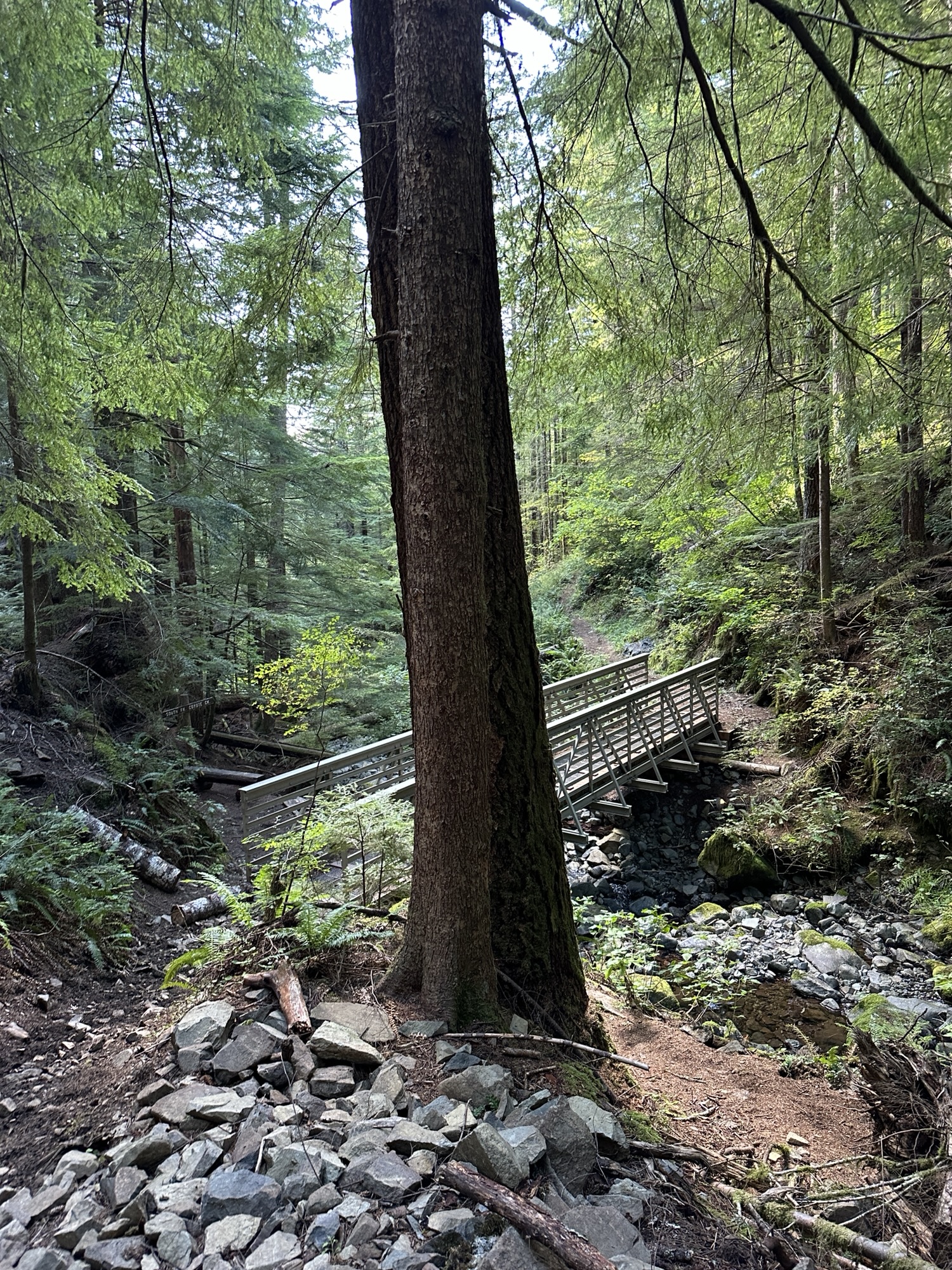
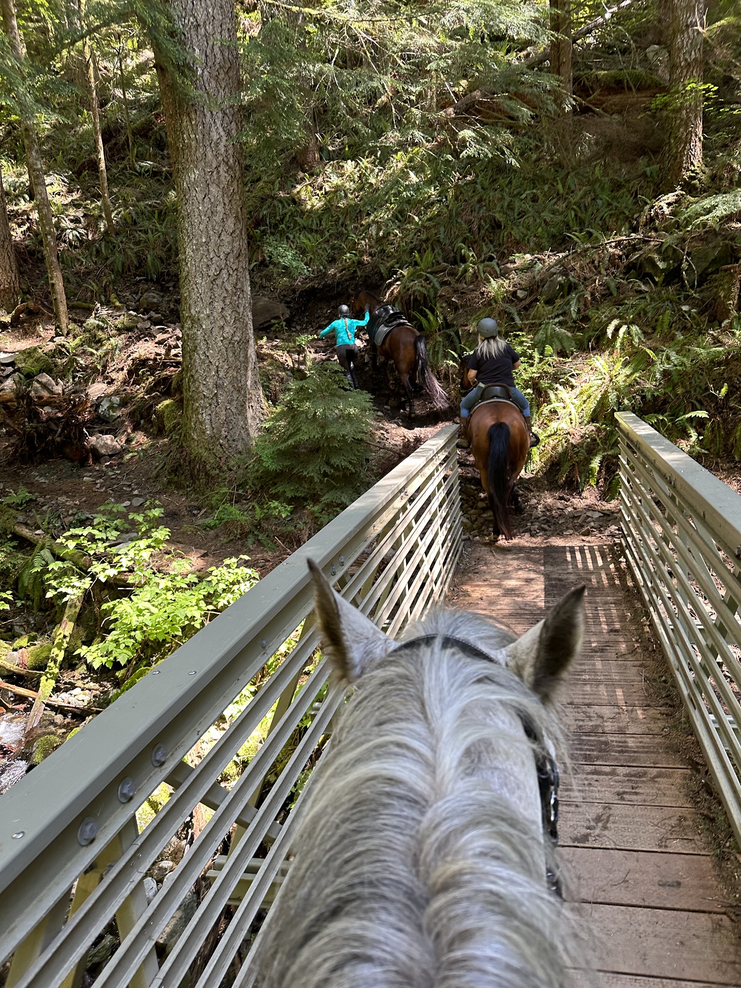
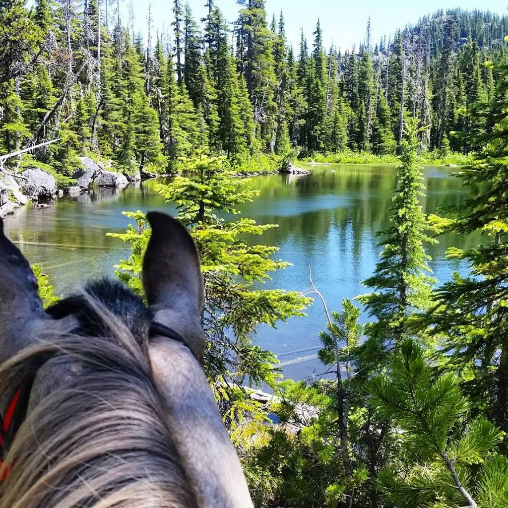
Trail Info: Take the trail out of the west side of camp and follow the path until you reach a junction with Tarbell Trail. Stay right and go over the bridge. At the junction just pass the bridge (you’ve only gone 0.1 miles total so far), turn right and follow Appaloosa Trail for 0.7 miles until it turns into a road. Follow this for 0.1 more miles until the trail turns to the left. Continue on the Appaloosa Trail for 1.2 miles. Turn right onto road L-1120 and watch for the trail again on the right side of the road after about 250 feet. Turn right onto the Appaloosa Trail for 0.2 miles until it crosses Road L-1120. (If you missed the turn just continue up the road until you find the trail crossing. Continue on the trail for 2.3 miles until you meet the junction with Tarbell Trail. Continue straight on Tarbell Trail (don’t turn left at the fork) for 0.2 miles down the switchback. You will arrive at the bridge with a view of the falls.
Trail Challenges: Long bridges, waterfall noise can be scary for some.
Permits: Discover Pass
Backcountry Sites: Not suitable for overnight use.
Cell Service: Verizon – unreliable.
Fuel: Nothing super close or on the way. Fuel up at home.
GPX File: WHT: Hidden Falls
Maintained By: BCHW Mount Saint Helens Chapter?
Current Conditions: The Appaloosa and Tarbell trails will be closed for logging operations Monday through Friday from the L-1180 to Hidden Falls. Please check the official site for updates.
Directions: Start five miles north of Vancouver at I-5 exit 9. Go east on Northeast 179th Street for 5.5 miles. Turn right on SR-503. Go 1.5 miles. Turn left on Northeast 159th Street. Go 3 miles. Turn right on Northeast 182 Avenue at Hockinson. Go one mile. Turn left on Northeast 139th Street at 2.5 miles, take a left “Y” onto Rawson Road. At 2 miles, the pavement ends, and the road turns into the L-1400 Road. Go 4 miles. Turn left on L-1000 Rd. Go 4.7 miles. Turn left on L-1300 Rd. Go .8 miles to the site. The site entrance is on the right.
Alternatively – coming from the north bypasses the gravel roads and you will be on pavement most of the way.
Map:
← Back to Trail Catalog
← Explore more trails in the Portland Metro area
If you’d like more PNW trails straight to your inbox, be sure to subscribe!

Leave a comment