Submitted by Tess Buchannan
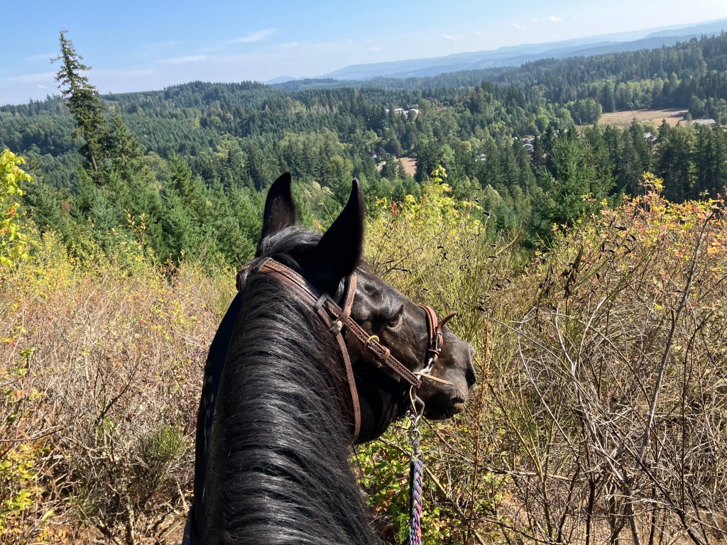
Another local spot that’s not a far drive for anyone in the Portland/SW Washington area. With over 800 acres to explore, this one should be on your list for day rides. Please join the Facebook group listed in Resources for current conditions and finding a riding buddy if desired!
Trail Stats:
- Varies; 24+ miles of trails
- Elevation Gain: 1,000+ feet
- Elevation Loss:
- Max Elevation: 800 feet
- Difficulty: Moderate
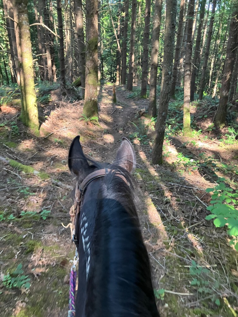
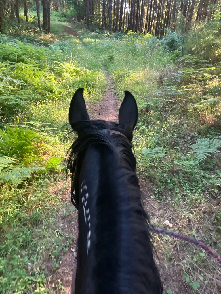
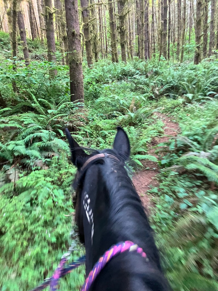
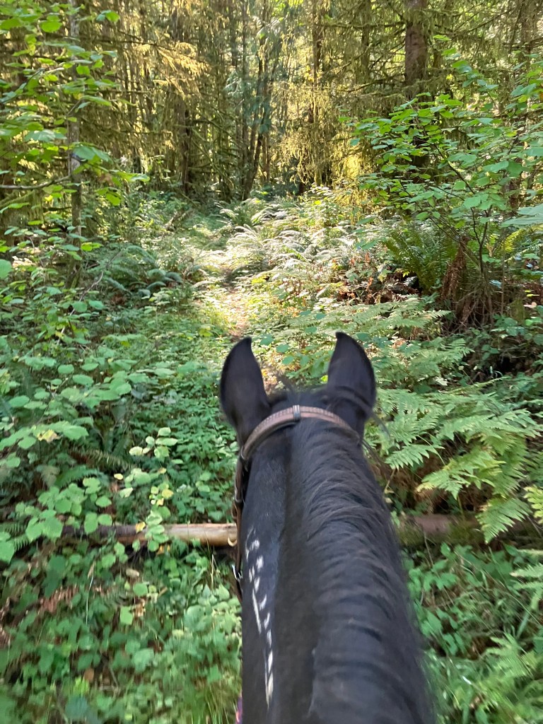
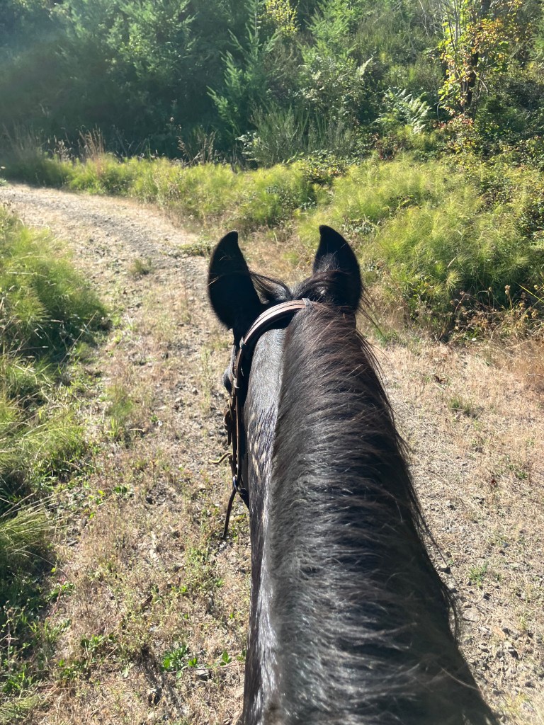
↗ What does this mean? - Footing: Varies greatly; old service roads, dirt trail, gravel
- Hoof Protection: Hoof protection recommended
← Back to Trail Catalog
← Explore more trails in the Portland Metro area
Facilities: No formal facilities. The trailhead is a small area to pull to the side of Howard’s Mill Road. There is enough room for one or two trailers. The entrance is found at 45.215274, -122.528111, or approximately 16240 S Howards Mill Road, at a metal gate. There are no amenities. Do not block the gate.
Water Sources: Creeks within trail system. No formal stock water.
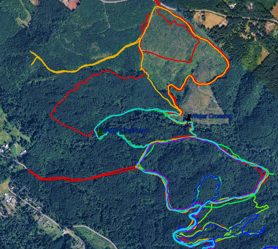
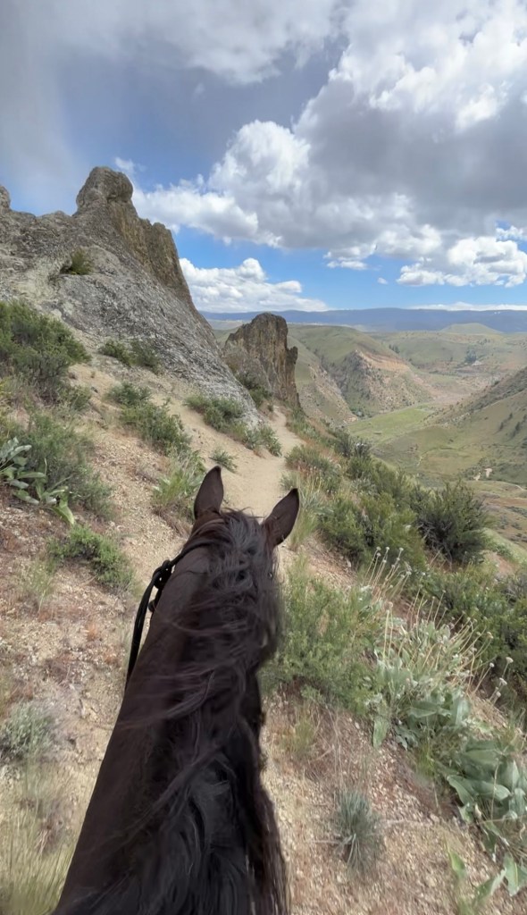
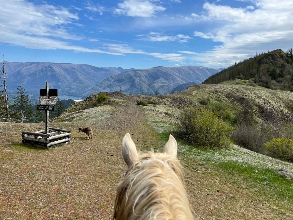
Trail Info: This is a network of trails rather than a single trail. Those flagged with blue trail tape are generally cleared and solid; those with orange are often in-progress; those with red are steeper or more technical. This does not hold uniformly true but it is a good rule of thumb. From the parking area, you can travel east along the logging road, following it up to 3 miles. Various trails branch off in every direction. The primary trails roughly make a figure-eight, with a water crossing at the center. There are three water crossings, ranging in difficulty. The easiest one is marked with the black thumbtack on the map below.
Trail Challenges:
There are three possible water crossings, depending on which trails you follow. Elevation gain and loss varies. Due to the extensive nature of the trails, GPS is recommended. The blackberry bushes are intense, and carrying clippers is strongly recommended. Hikers and occasional mountain bikers share the trail. Downed trees are frequent, although most can be routed around.
Many of the trails on the north side, around the clear cut, are accessible year-round. Trails on the south side become extremely muddy in the rainy season.
Hunters do utilize this site – exercise caution during hunting season! Additionally, mountain lions have been sighted on the trail multiple years.
Permits: This is private land owned by Port Blakely; Follow their guidance, and check before going to ensure that the “Howards Mill/Windy City Block” is open to Walk-In on their website.
Backcountry Sites: Not suitable for overnight or backcountry use.
Cell Service: Cell coverage through most of the 800 acres with Verizon. However no service near the creek or on the Windy City side of Howards Mill.
Fuel:
GPX File: None – please email adventure.equines@gmail.com if you can provide gpx tracks to share.
Maintained By: Extra special thank you to Marion Griffith for being a steward to these trails. Many hours spent clearing and getting the word out on this trail system. Please help those who maintain these trails; do not leave trash, and trim blackberries as you ride if possible. Tess is always happy to play tour guide on these trails!
Directions: The trailhead is a small area to pull to the side of Howard’s Mill Road. There is enough room for one or two trailers. The entrance is found at 45.215274, -122.528111, or approximately 16240 S Howards Mill Road, at a metal gate. There are no amenities. Do not block the gate.
Resources:
- Port Blakely Official Site
- Oregon Trails – Restore, Ride, and Hike! – Facebook Group w/ lots of info.
Map:
← Back to Trail Catalog
← Explore more trails in the Portland Metro area


If you’d like more PNW trails straight to your inbox, be sure to subscribe!


Leave a comment