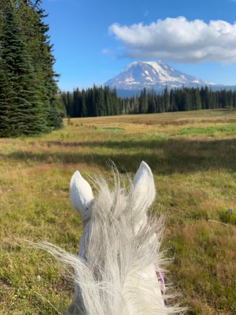
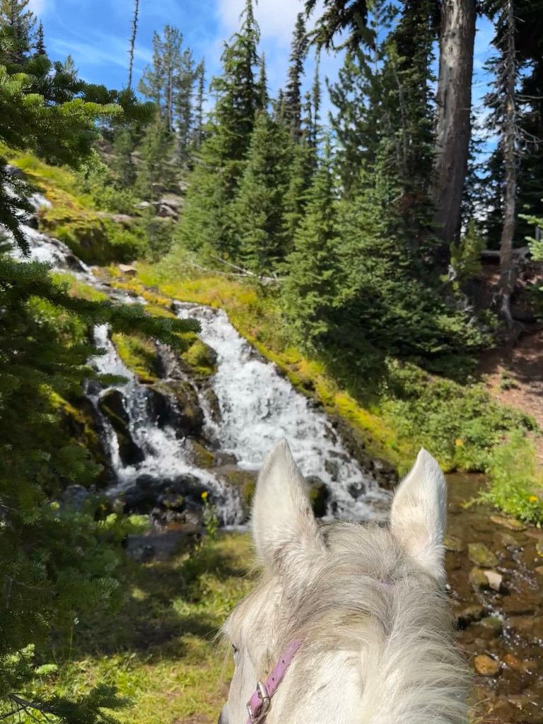
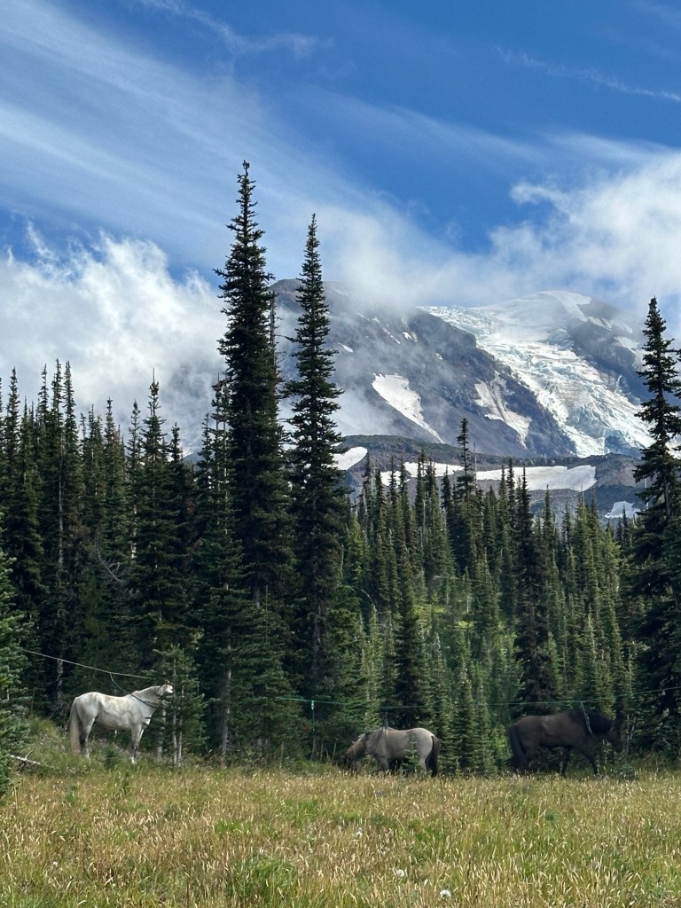
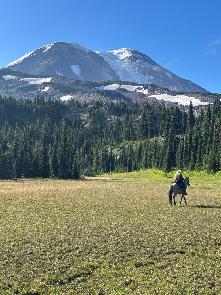
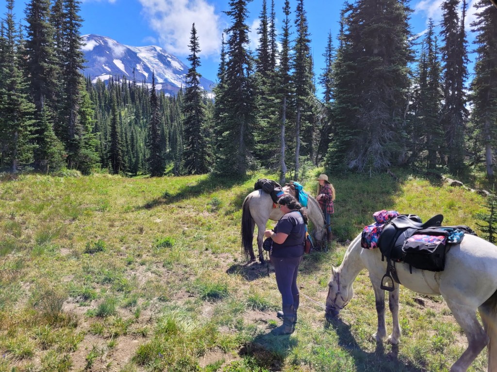
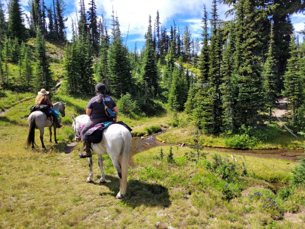
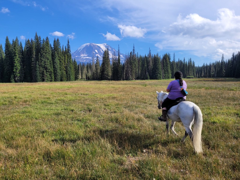
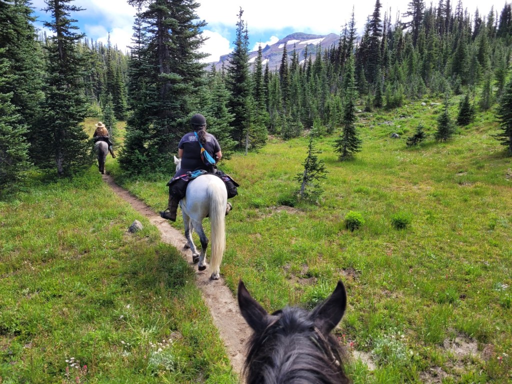
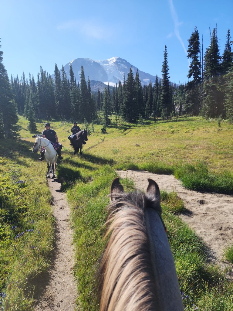
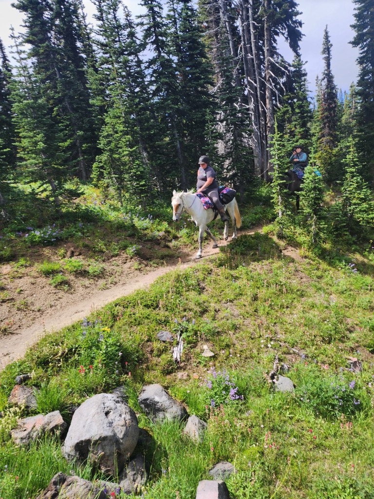
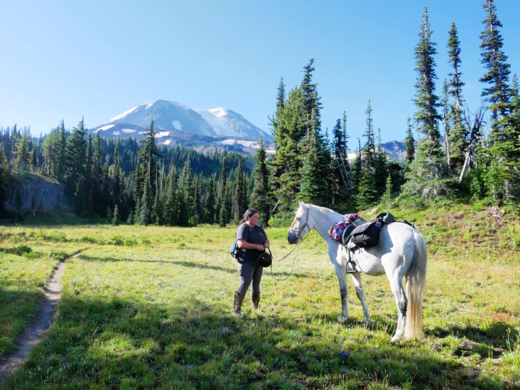
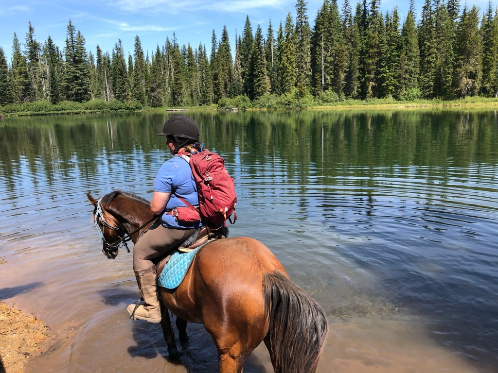
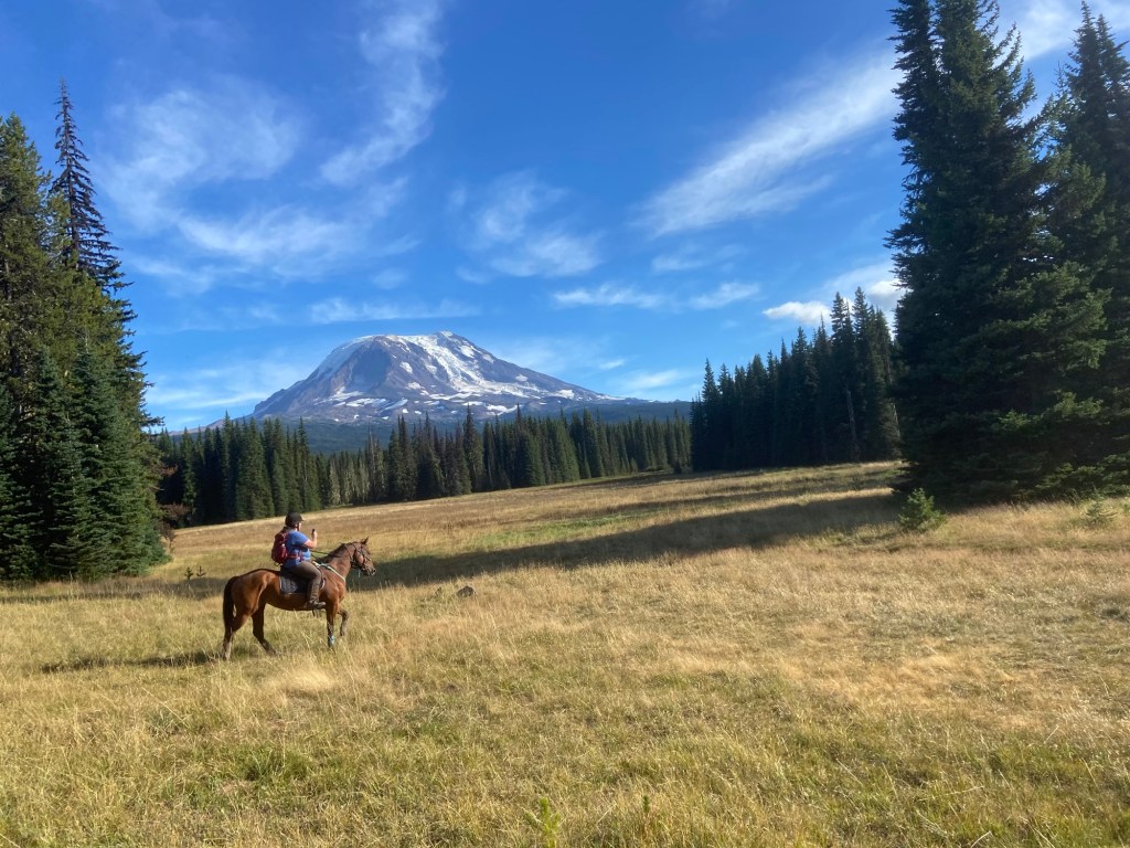
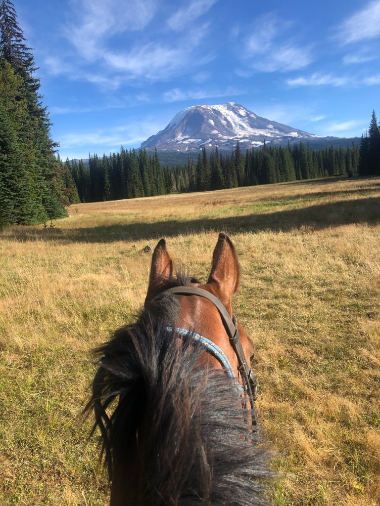
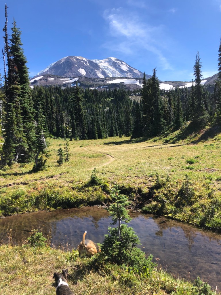
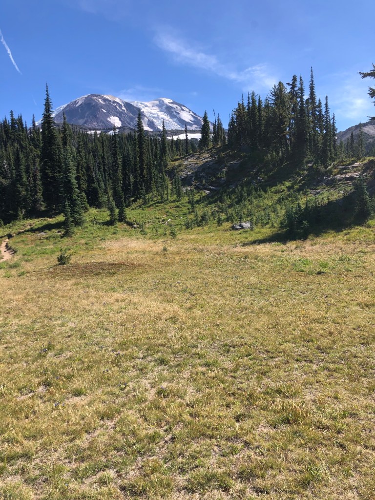
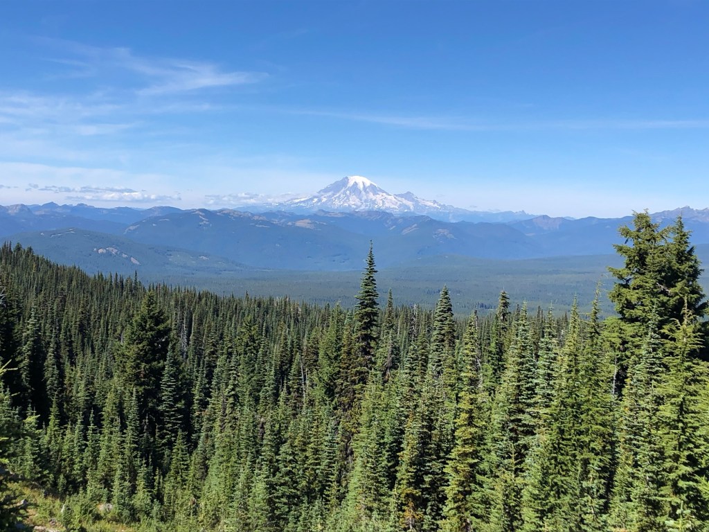
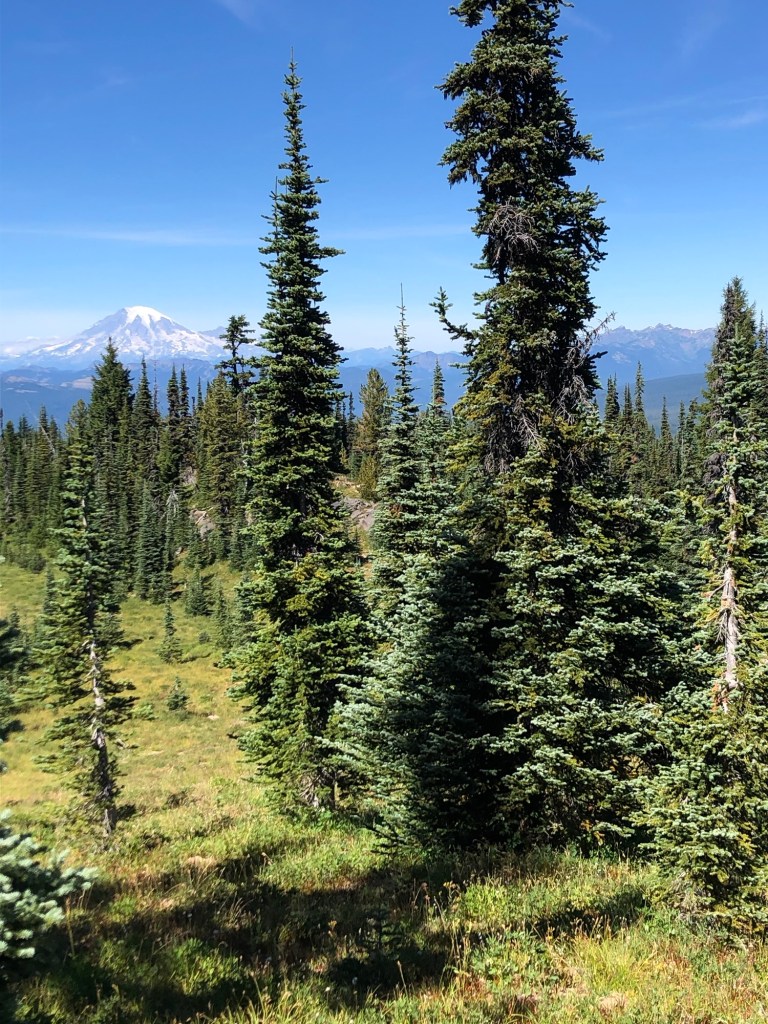
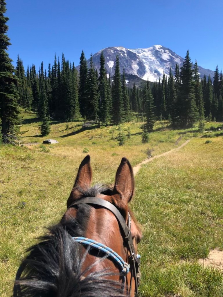
Keenes Horse Camp is located in the Gifford Pinchot National on the northern flank of Mount Adams in Washington. The nearby trails offer never ending views, access to the Pacific Crest Trail, alpine wildflowers and riding up close and personal in the Mount Adams Wildness. For those wishing to overnight in the backcountry or set out for a few days – there are plentiful backcountry camping areas and access to the Goat Rocks Wilderness after a few days of riding northbound.
Camp Overview
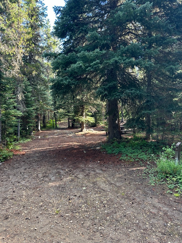
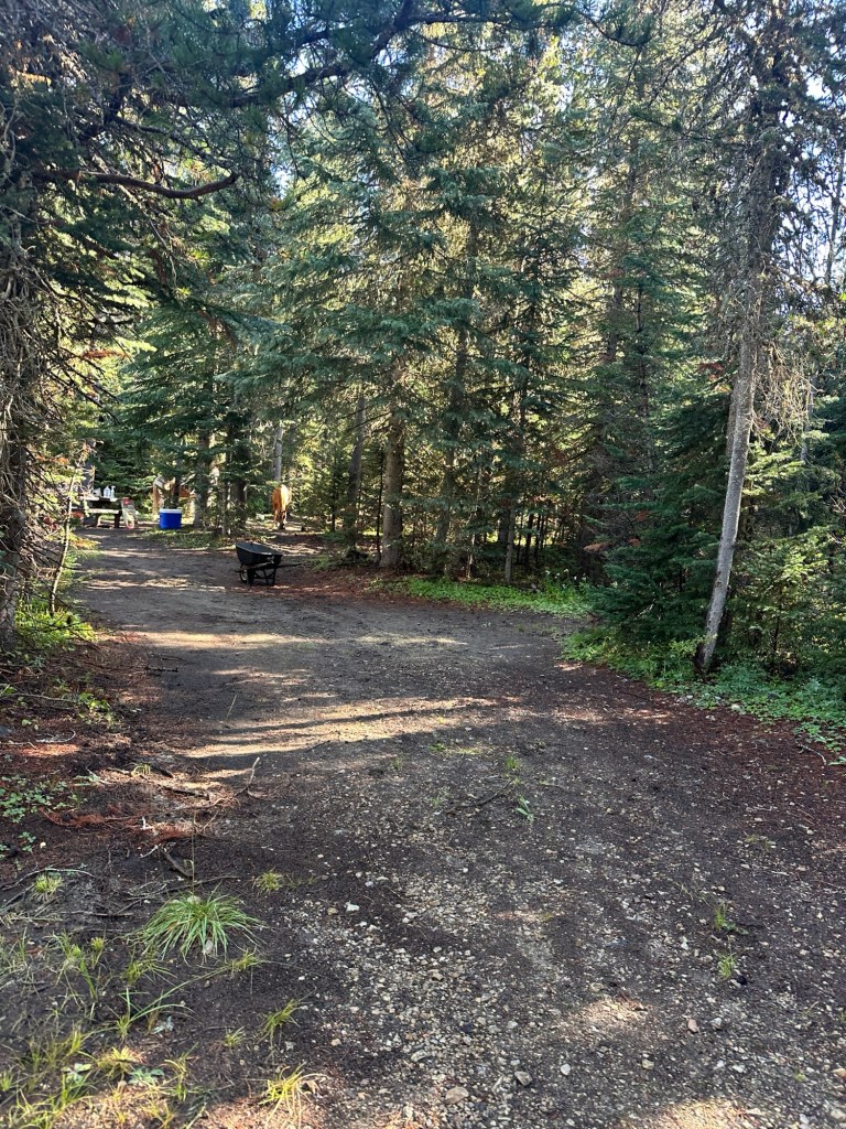
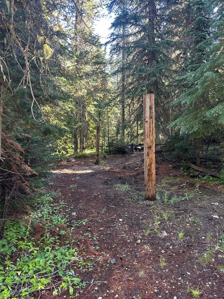
Campsites: 13 sites w/ highline posts.
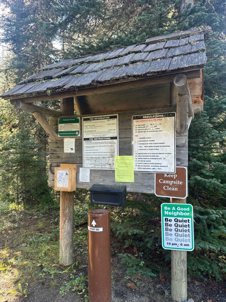
Fees: $23 per night. 50% off with Interagency Access Pass or Senior Passes. Additional vehicles $8 per night. No fee for day use.
Permits: Self issued wilderness permit at applicable trailheads.
Popularity: Low use.
Elevation: 4,360 feet
Season: Mid July – Mid September (August is best)
Cell Service: No coverage, closest service is two hours away in Randle, Wa.
Getting There
Directions: From Randle, Washington travel south on State Highway 131 (Forest Roads 23 and 25). Veer left in 1 mile at the Y of Forest Road 23 and Forest Road 25. Continue to follow Forest Service Road 23 for 18.5 miles then turn left onto Forest Road 21. Follow Forest Road 21 for 4.6 miles and turn right onto Forest Road 56. Follow Forest Road 56 for 3 miles and turn right onto Forest Road 5603. Follow Forest Road 5603 for 5.2 miles and turn right onto Forest Road 2329. Follow Forest Road 2329 for 2.5 miles and arrive at the campground on your right.
DO NOT take any directions that arrive to camp from the south. The road is washed out and so narrow that a trailer could go over the edge. You must go to Randle, Wa first, then navigate to camp.

Google Directions: Map Link – pay close attention to the routes, go to Randle, WA first.
GPS Coordinates: 46.30914, -121.54708
Road Conditions: Some paved roads, some gravel. No major washboarding, but a few large pot holes on the paved sections.
Gas Station: Nearest fuel is the 76 in Randle, WA before the turnoff to Forest Road 23. If you are willing to drive 2 miles further, gas is almost $1 cheaper at One Stop. Both have diesel.
76 Gas Station – 9801 US-12, Randle, WA 98377
Randle One Stop – 10114 US-12, Randle, WA 98377
Amenities & Camp Details
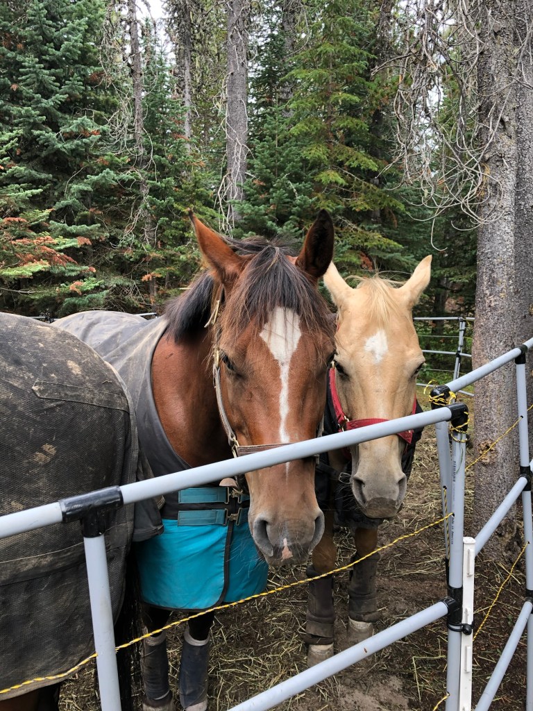
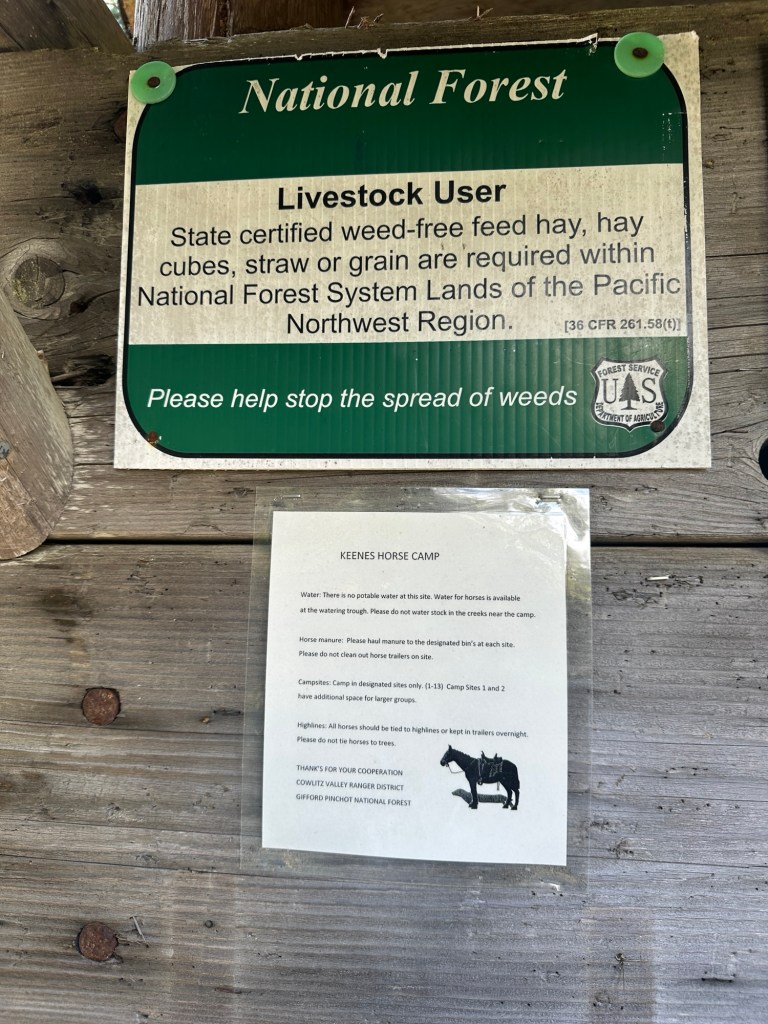
Stock Containment: Highline poles, limited room in sites for portable corrals but possible in some sites. Poles are fairly close together – good for 2 horses, very tight for 3 horses.
Stock Water: Stock tank, creek.
Potable Water: No.
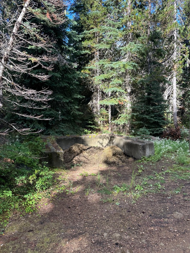
Manure Bin: Yes, one in each loop.
Trash/Dumpster: No – pack it out.
Bathroom: Yes – vault toilet.
Day Use Parking: Yes, in second camp loop. No fee.
Reserving Your Spot
Reservations: First come, first served.
Check In/Check Out: None specified.
Site Specifics:
Site 1: First loop, larger site, paired with Site 2 would work for a bigger group. Bigger parking area than most sites.
Site 2: First loop, larger site, paired with Site 1 would work for a bigger group. Bigger parking area than most sites.
Site 3: First loop, back in.
Site 4: First loop, pull through.
Site 5: First loop, back in.
Site 6: First loop, pull through.
Site 7: First loop, back in.
Site 8: First loop, back in.
Site 9: Second loop, back in – bigger than other sites.
Site 10: Second loop, pull through.
Site 11: Second loop, back in.
Site 12: Second loop, back in.
Site 13: Second loop, back in.
Bathrooms: Near sites 5 and 9.
Stock Water: Near sites 1 & 2.
Manure Bin: Near sites 7 & 11.
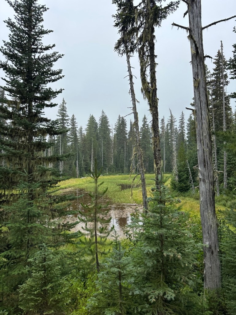
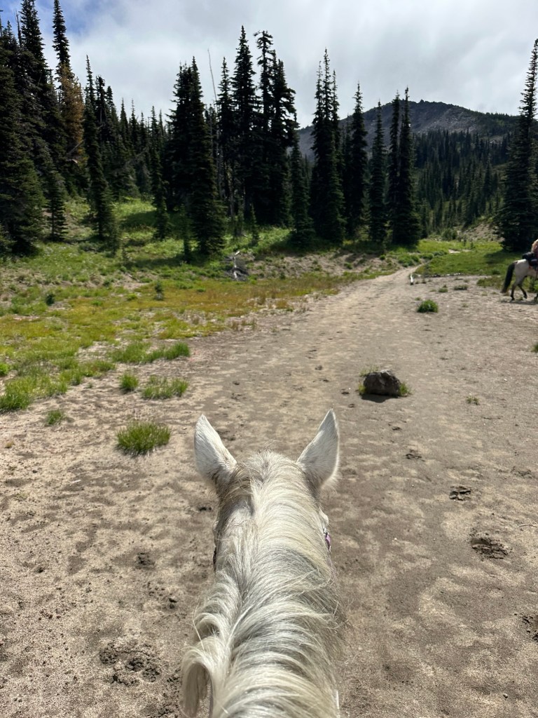
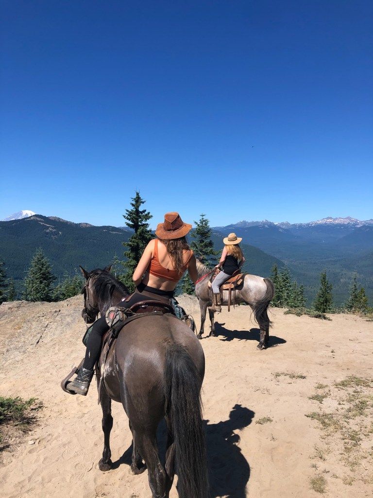
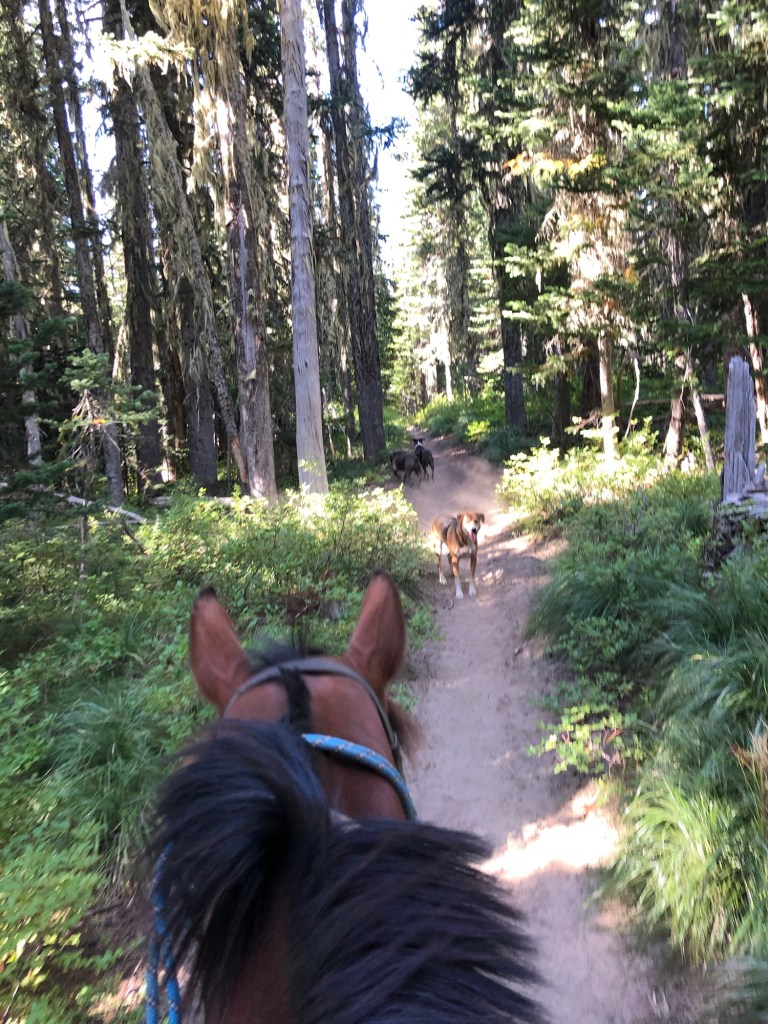
Nearby Trails & GPX Tracks:
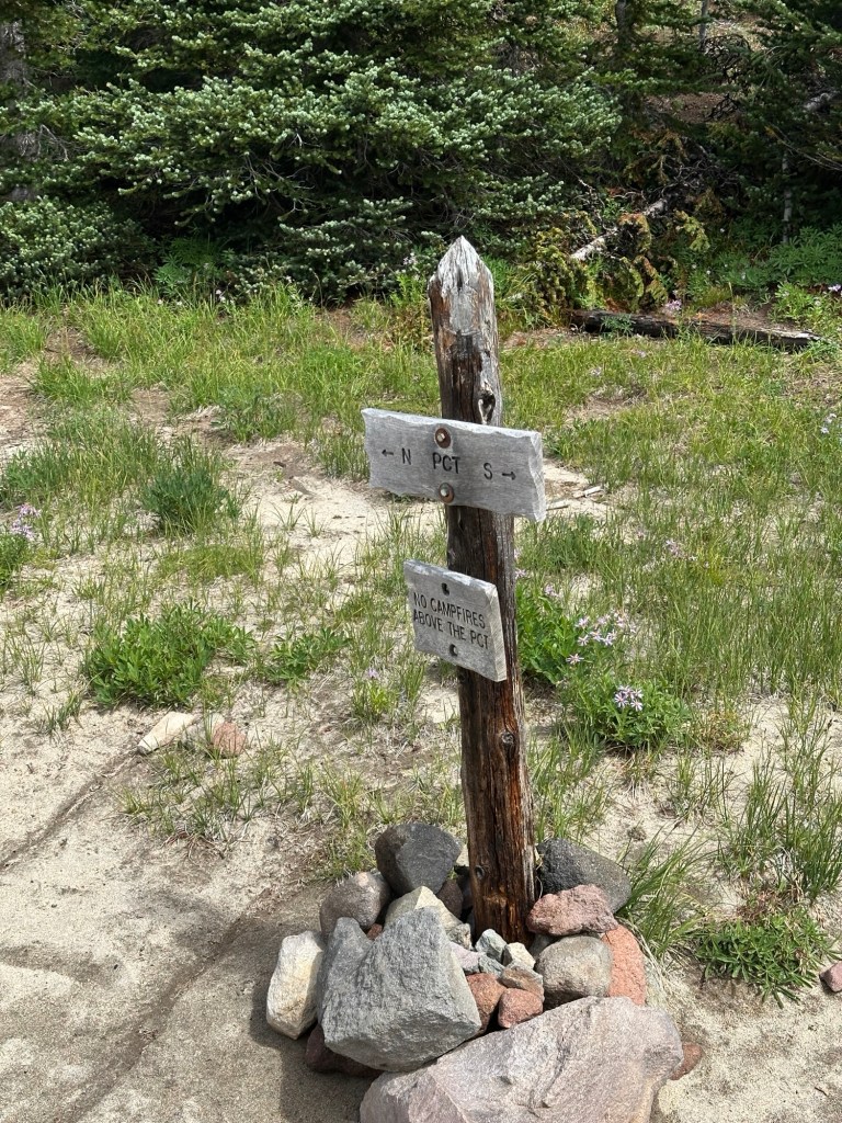
Killen Creek / PCT / Muddy Meadows Loop
Horseshoe Lake Loop
Green Mountain Summit
Muddy Meadows
Midway Meadows
Cody Horse Camp
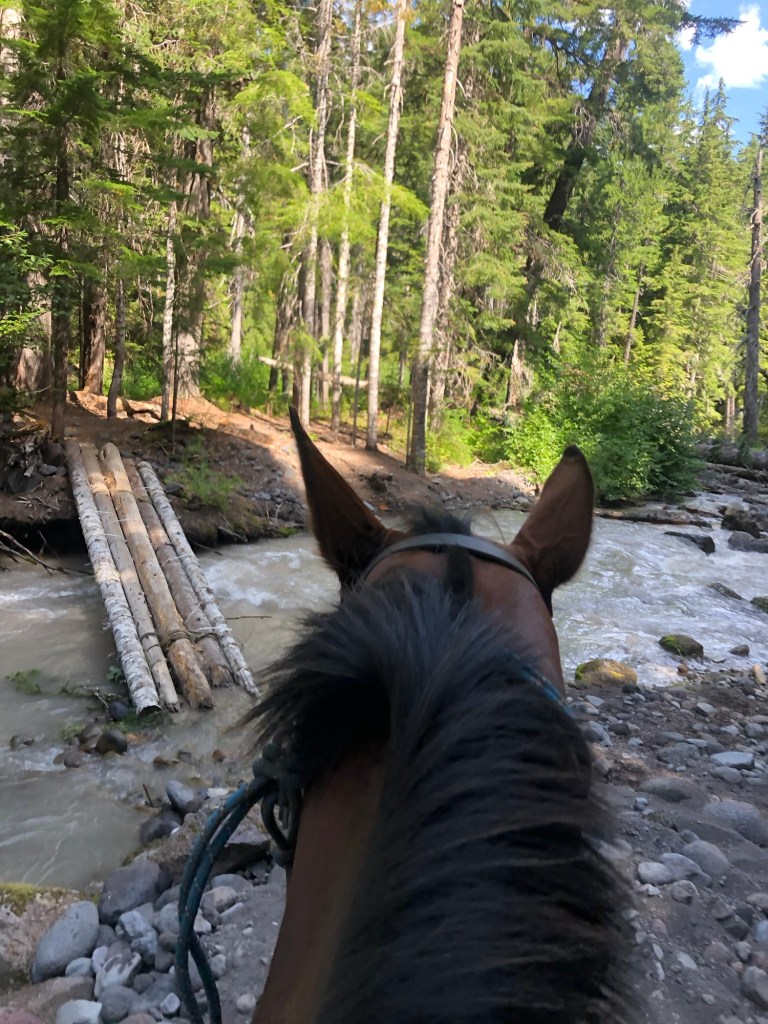
Lava Camp – Bridge on Northbound PCT is out w/ no alternate crossing as of 2025
High Camp
Chain of Lakes Trail – not recommended. Bridge has been out for years. If you have a horse willing to cross the rocky glacier silt river it only gets worse after. Rough trail, and the lake beds are dry so there is no payoff for the brutal trail you will ride to get there.
Nearby Dispersed Camps
Down the road past camp on the right.
Backcountry Camp Options
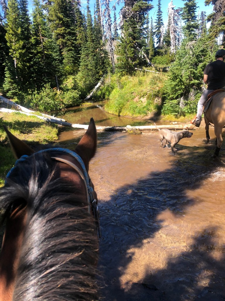
Multiple sites along the Pacific Crest trail. Northbound PCT has sites within 1 mile of Killen Creek Junction. Southbound PCT has several meadows (Riley Creek Meadows, Horseshoe Meadows) that may work as well. Possible challenging river crossing on southbound PCT. Practice safe glacier fed river crossing by timing your crossing for early morning before it heats up and the river level rises. Please be extremely mindful in the fragile alpine landscape, stick to Leave No Trace principles and tread carefully so that the same places may be enjoyed by others.
Additional Resources
- USFS Camp Status Page
- NW Horse Trails
- Holly’s Horse Trails and Tales
- Campsite Map
- High Lakes Area Trail Map
- Trail Catalog: Killen Creek / PCT / Muddy Meadows Loop
Camp Land Manager & Contact Info
USFS – Mt. Adams Ranger District
2455 Hwy 141 Trout Lake, WA 98650
(509) 395-3402


If you’d like PNW trails, camps and backcountry information delivered right to your inbox, subscribe below so you don’t miss out!
Explore more posts and discover your next adventure:
- Heart Lake Loop – Anacortes Community Forest Lands, Washington
- Triangle Lake Horse Camp – Mount Jefferson Wilderness, Oregon
- Sahara Creek DNR Horse Camp – Elbe Hills State Forest, Washington
- Reehers Horse Camp – Tillamook State Forest, Oregon
- Howard Creek Horse Camp – Silver Falls State Park, Oregon

Leave a comment