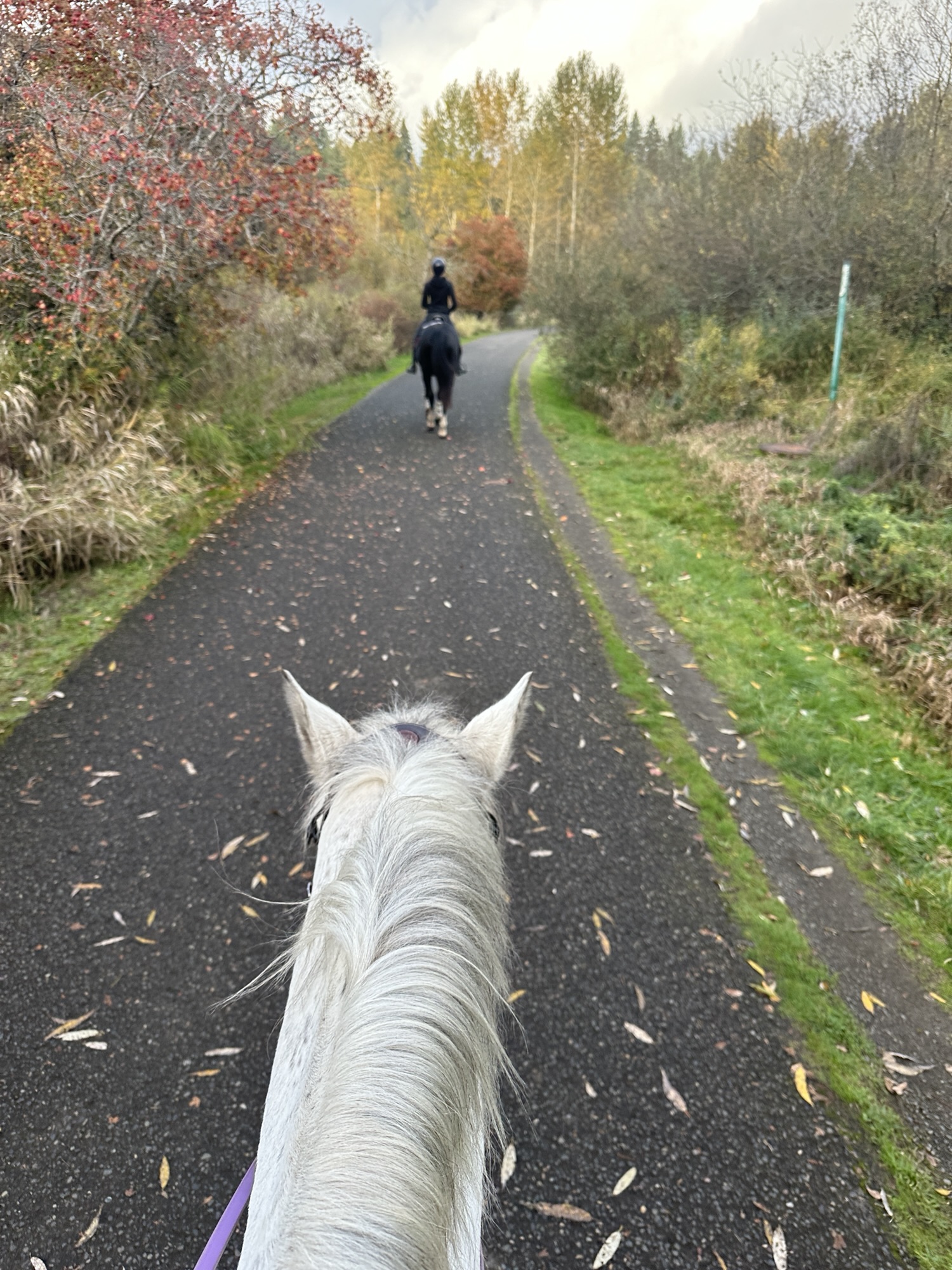
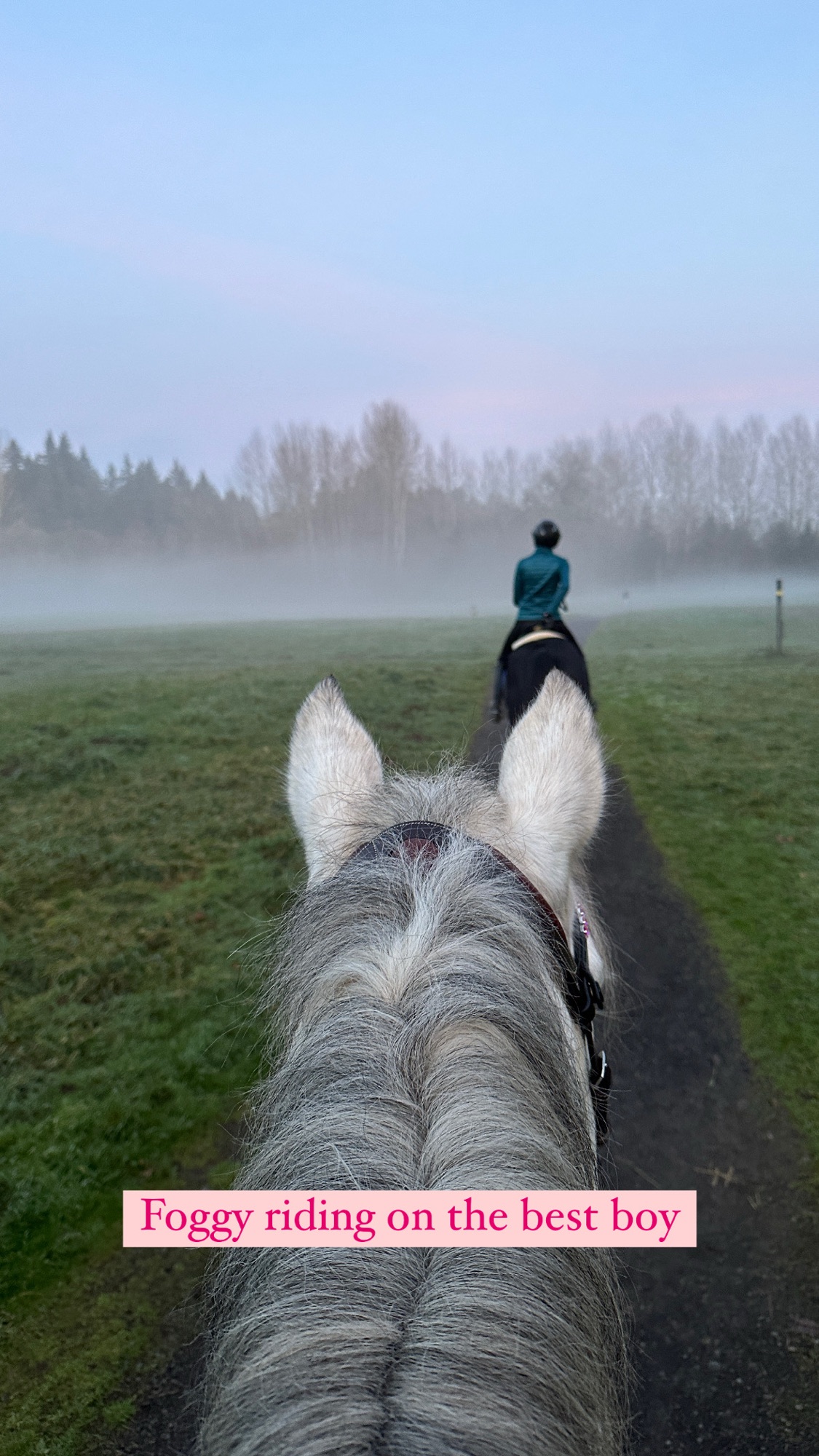
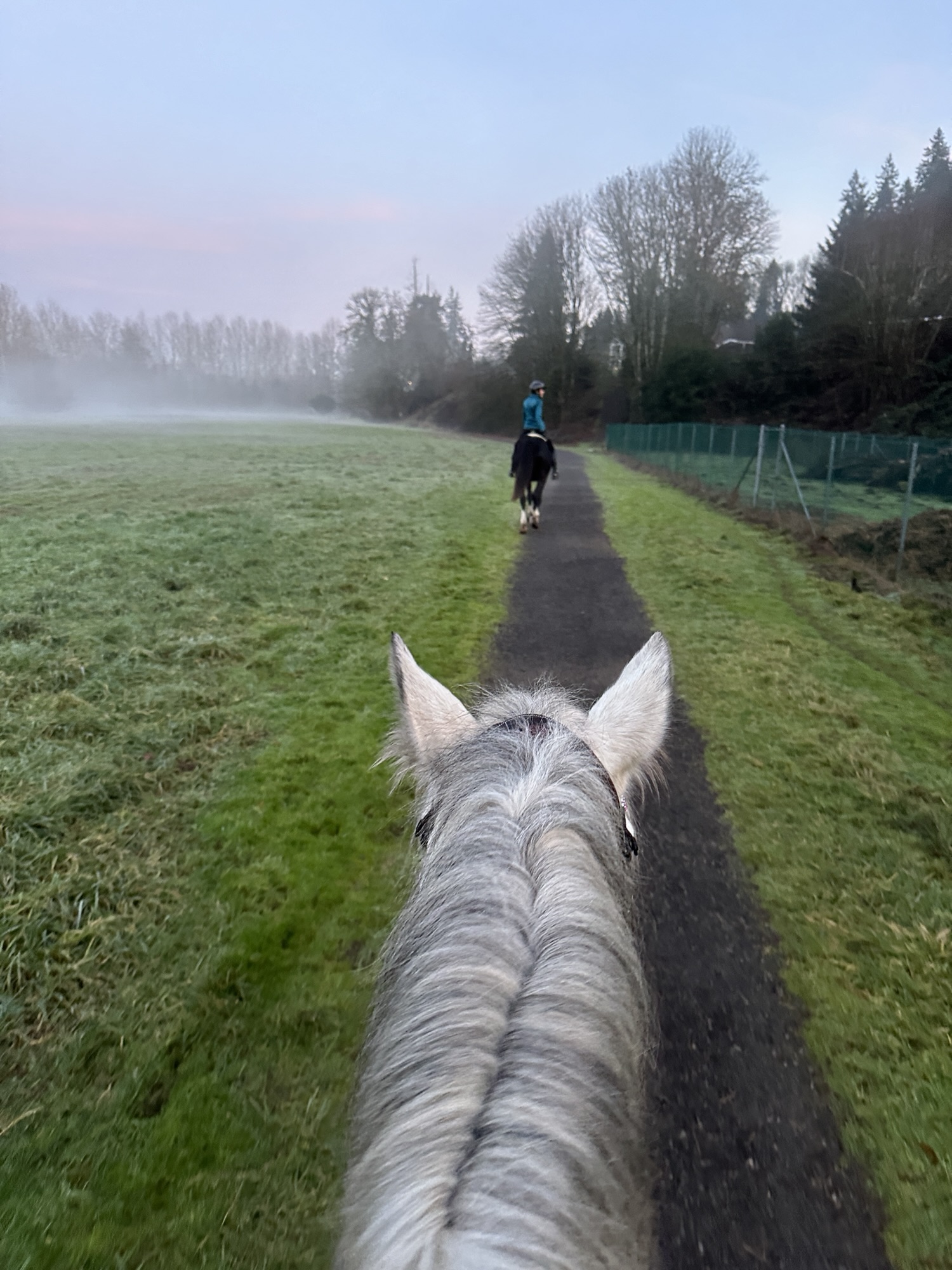
A very little used trail in regards to equestrians – Salmon Creek Regional Park is an urban trail sytem located in Vancouver, WA. This trail is easy and great for a quick trail ride after work – but be prepared to show good trail etiquette as you will be sharing the trail with many other users.
Trail Stats:
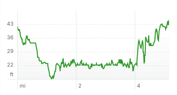
- 5.1 mile loop
- Elevation Gain: 38 feet
- Elevation Loss: 33 feet
- Max Elevation: 45 feet
- Difficulty: Easy
↗ What does this mean? - Footing: Paved paths and dirt single tracks, some mud in wet season.
- Hoof Protection: Barefoot OK.
← Back to Trail Catalog
← Explore more trails in the Portland Metro area
Facilities: No equestrian facilities. Make sure to clean any manure from the parking area.
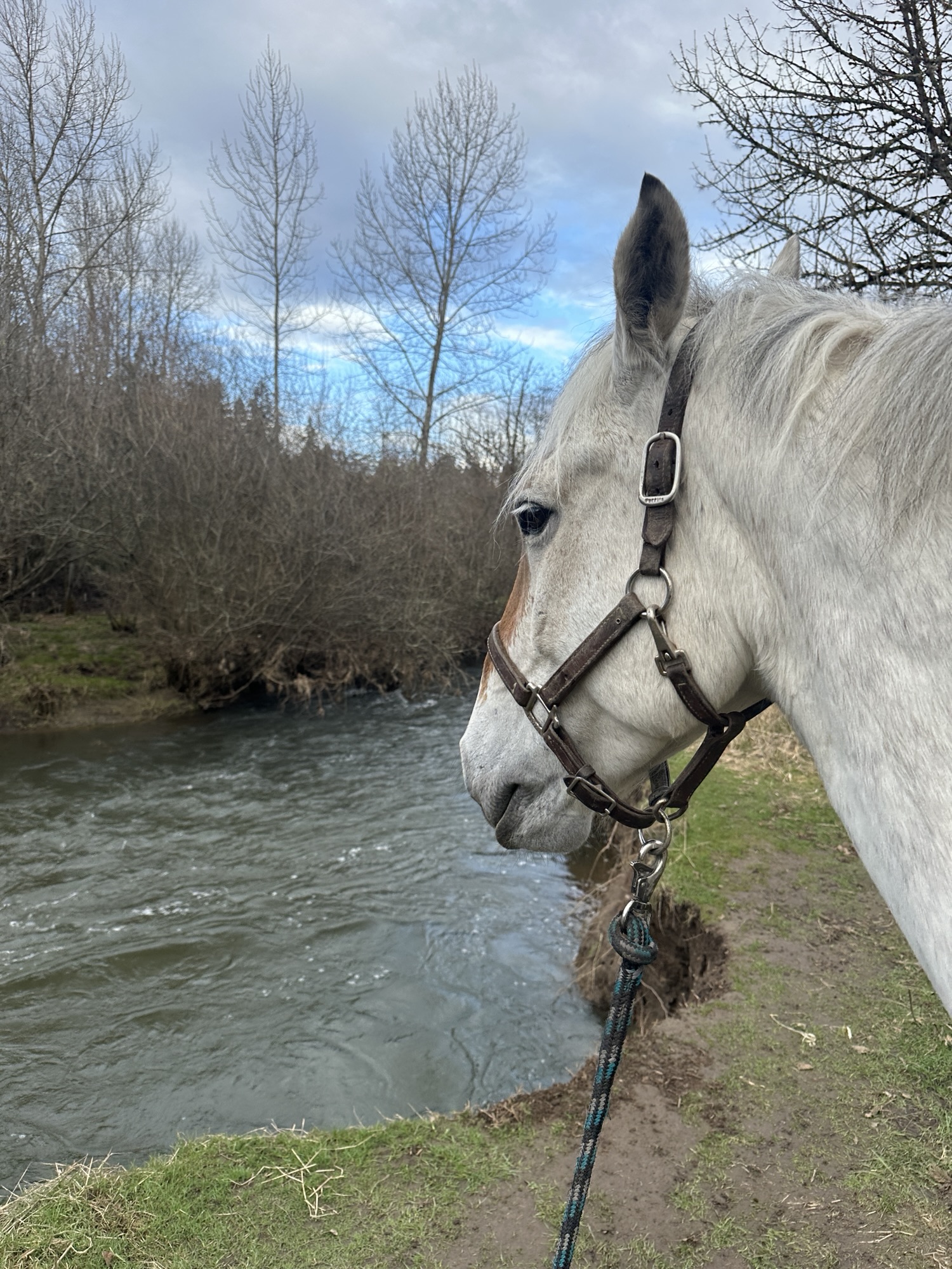
Water Sources: Possibly from creek but access from the bank is not easy.
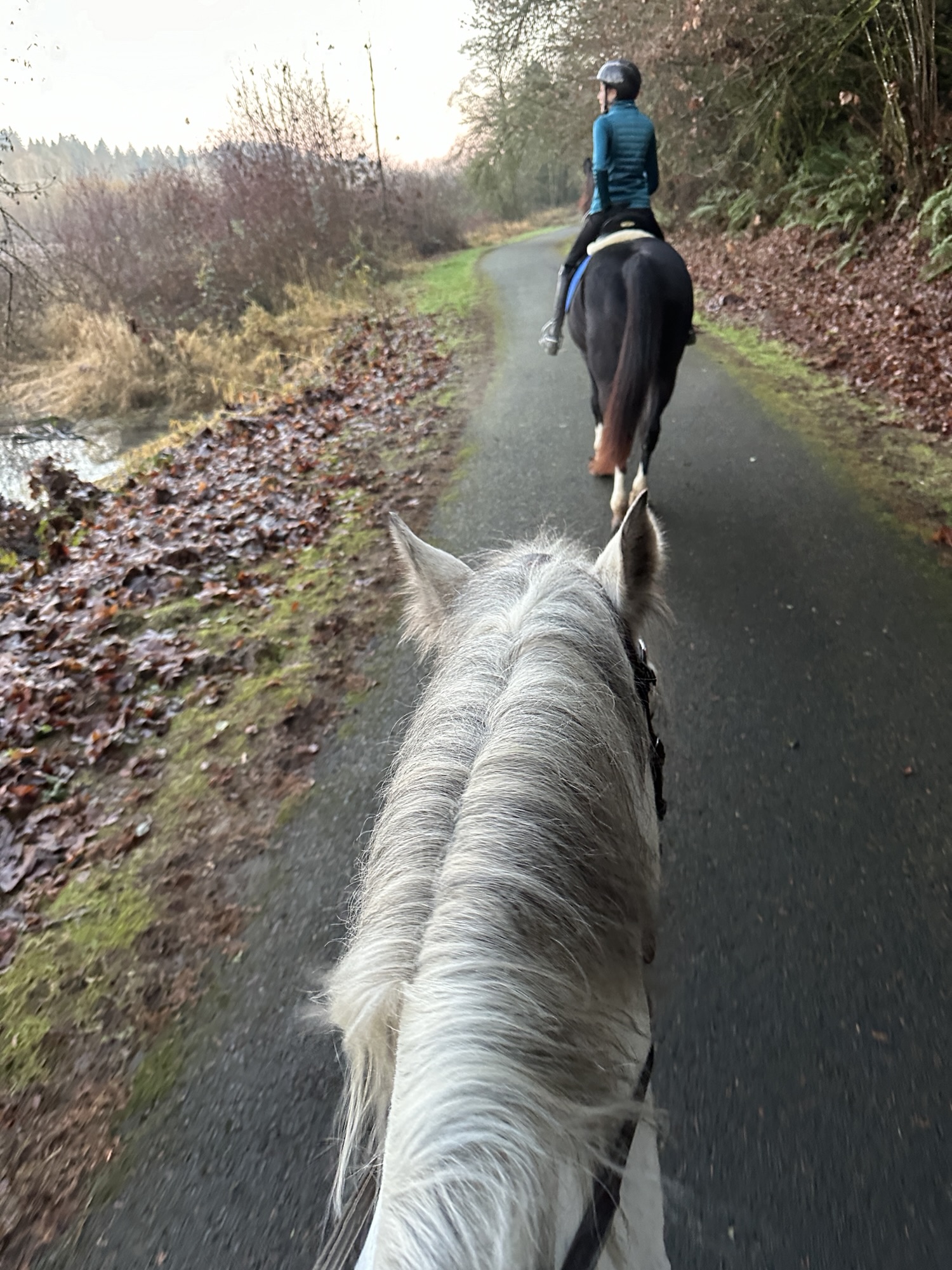
Trail Info: From the parking lot, follow the paved Salmon Creek Trail to the East. It will eventually dead end. Back track the way you came until you see a single track dirt path, follow this back to the parking lot.
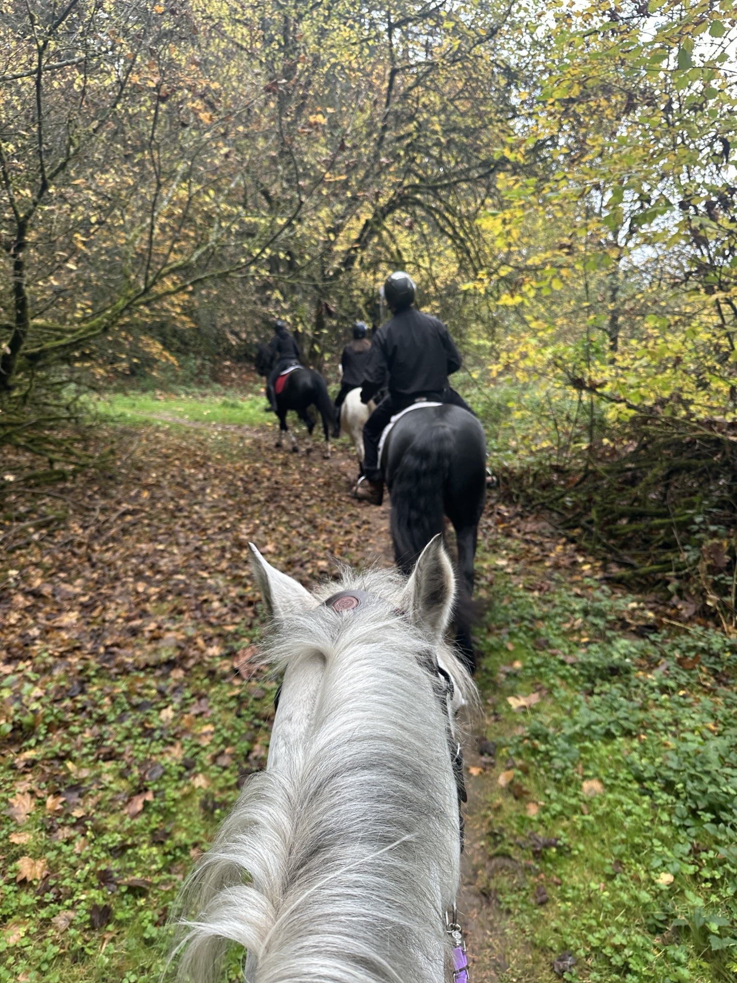
Trail Challenges: Paved trails. Bridge. Trees can be overgrown for horses on the dirt trail but passable. Multi user trail system – expect runners, bikes, etc. This trail hardly ever sees horses so people want to chat with you and may not know horse etiquette. You will need a steady horse that doesn’t mind non-horse-savvy people.
Permits: None but $6 parking fee.
Backcountry Sites: None, not suitable for overnight backcountry use.
Cell Service: Yes – good service throughout the park.
Fuel: For smaller trailers – Safeway 13023 NE Hwy 99, Vancouver, WA 98686
GPX File: WHT: Salmon Creek Regional Park
Directions: From Vancouver, I-5 north exit NE 99th St, right on NE Hazel Dell Ave, veer right onto NW 117th St. Parking entrance on left.
Additional Resources:
Salmon Creek Regional Greenway Trail Map
Map:

← Back to Trail Catalog
← Explore more trails in the Portland Metro area


If you’d like more PNW trails straight to your inbox, be sure to subscribe!

Leave a comment