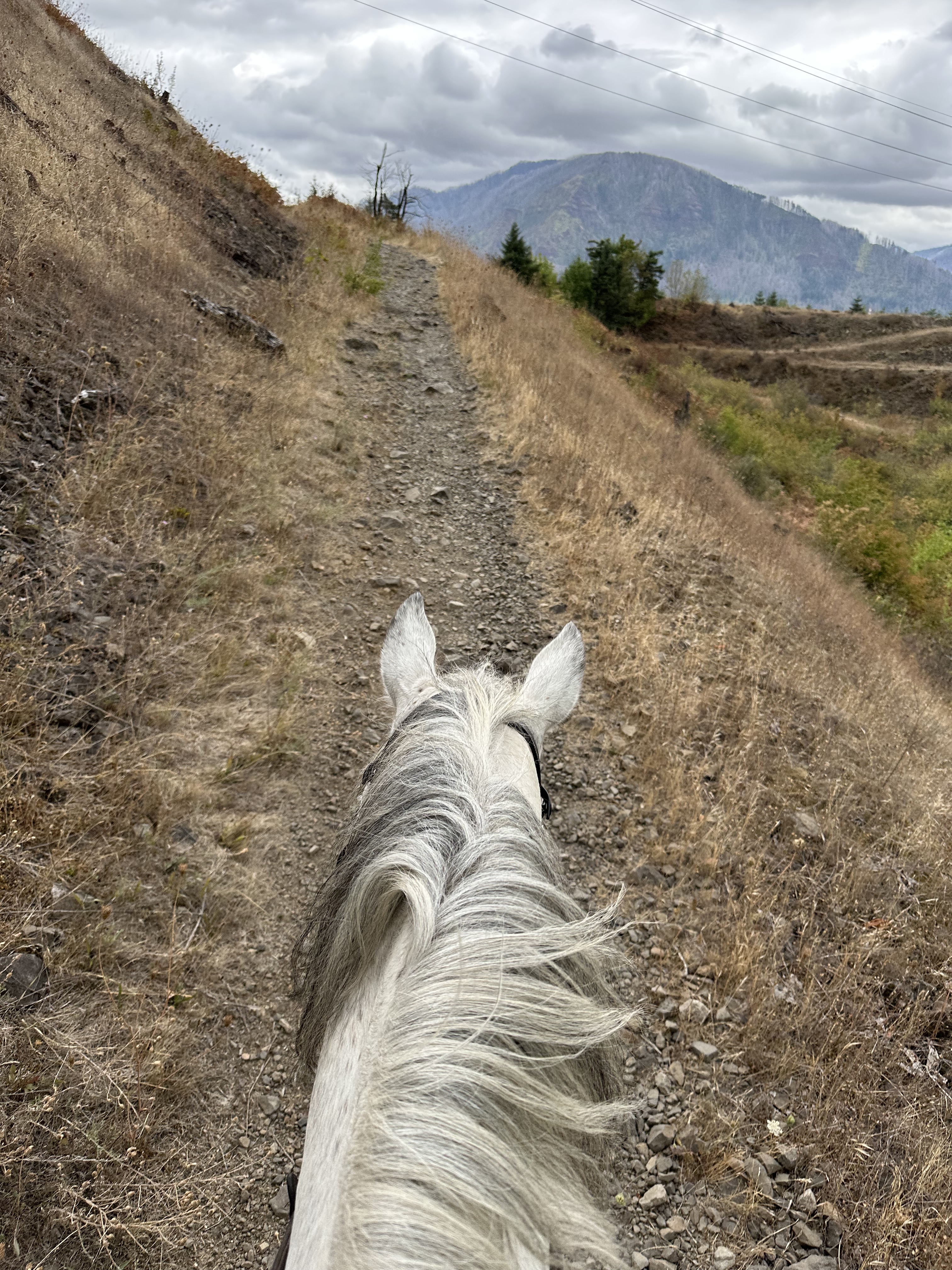
If you’ve ridden with me or spent more than a day at a horse camp with me- you likely know my obsession with the Pacific Crest Trail. So of course I would drag a friend northbound on the PCT on a dry fall day.
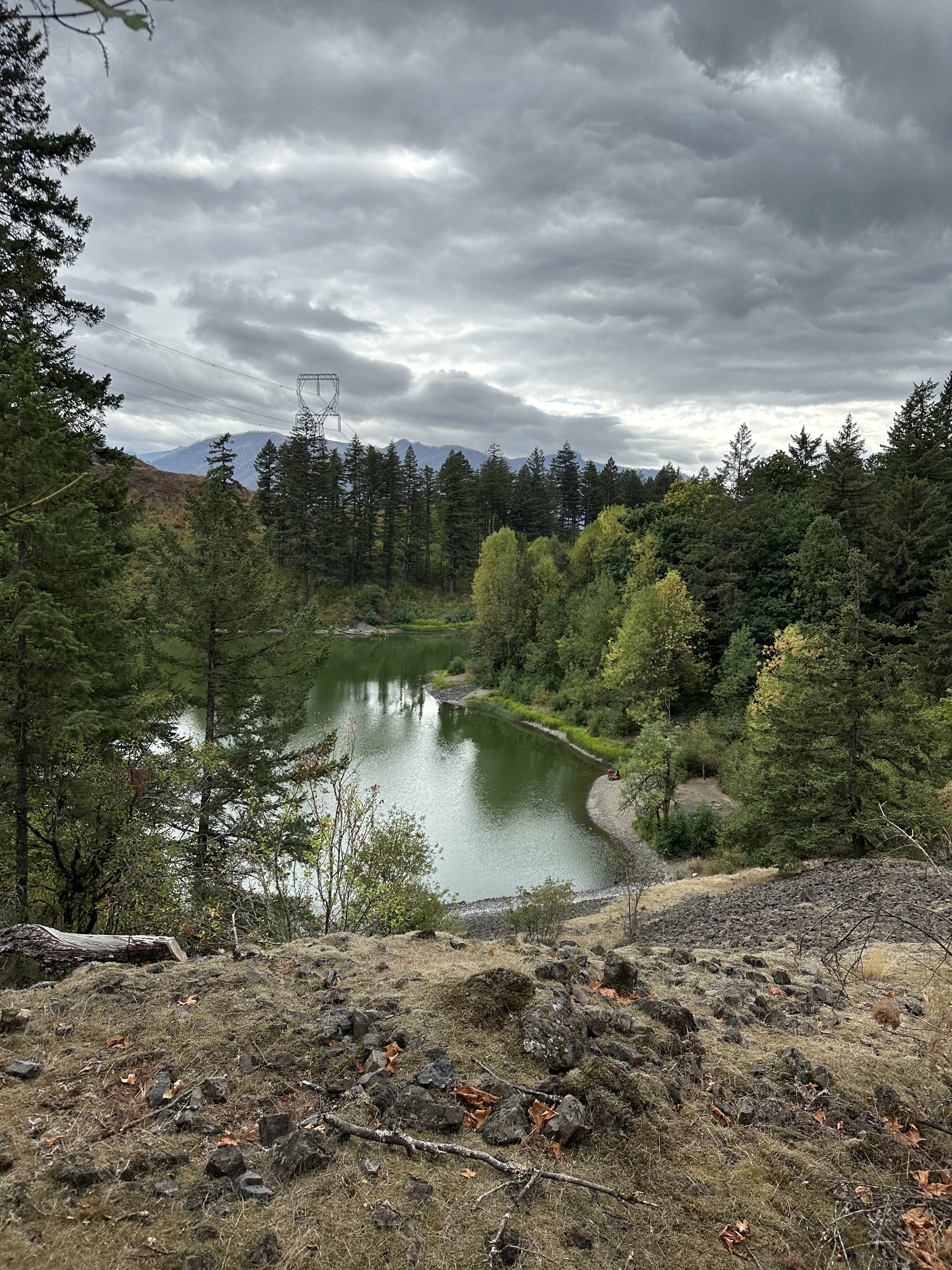
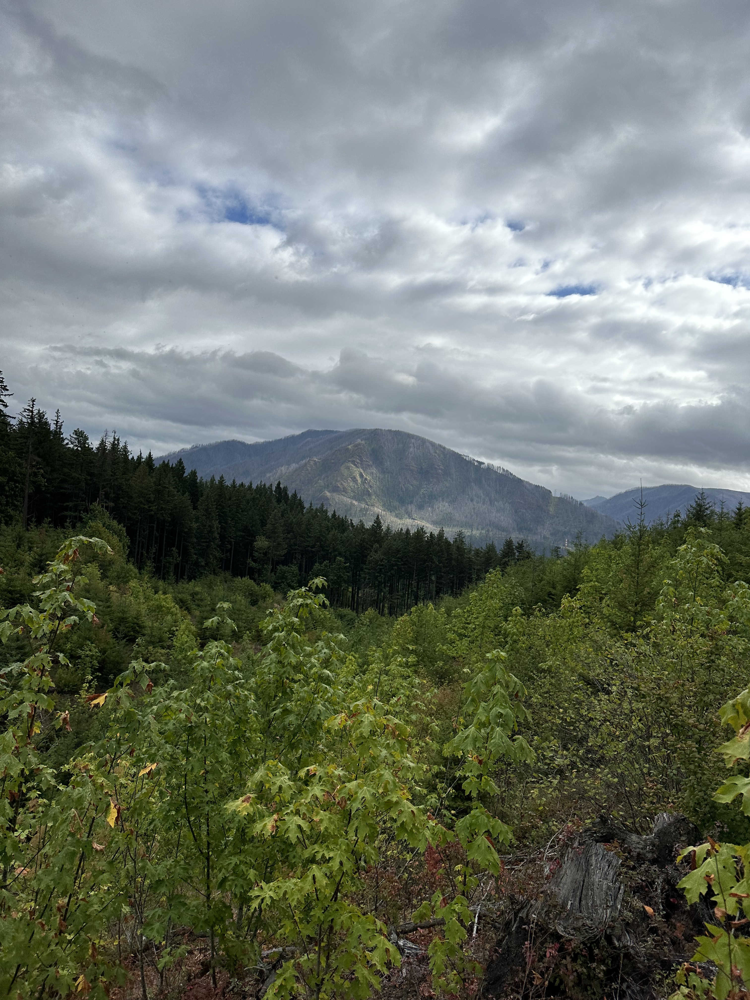
Gillette Lake is a quick and easy jaunt along the PCT to a rather colorful lake. In the fall you’ll get a bit of color on the foliage and no mosquitoes at the lake. We rode this trail in early September but on a dry day you could ride this trail later in the season as well.
Trail Stats:
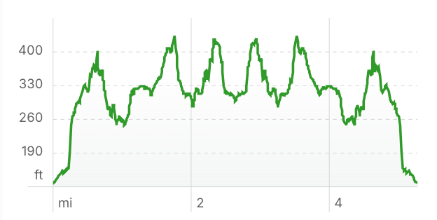
- 5.3 miles out and back.
- Elevation Gain: 1,205 feet
- Elevation Loss: 1,221 feet
- Max Elevation: 433 feet
- Difficulty: Moderate
↗ What does this mean? - Footing: Some rocky sections, otherwise dirt trail or old service roads.
- Hoof Protection: Hoof protection recommended.
← Back to Trail Catalog
← Explore more trails in the Columbia River Gorge
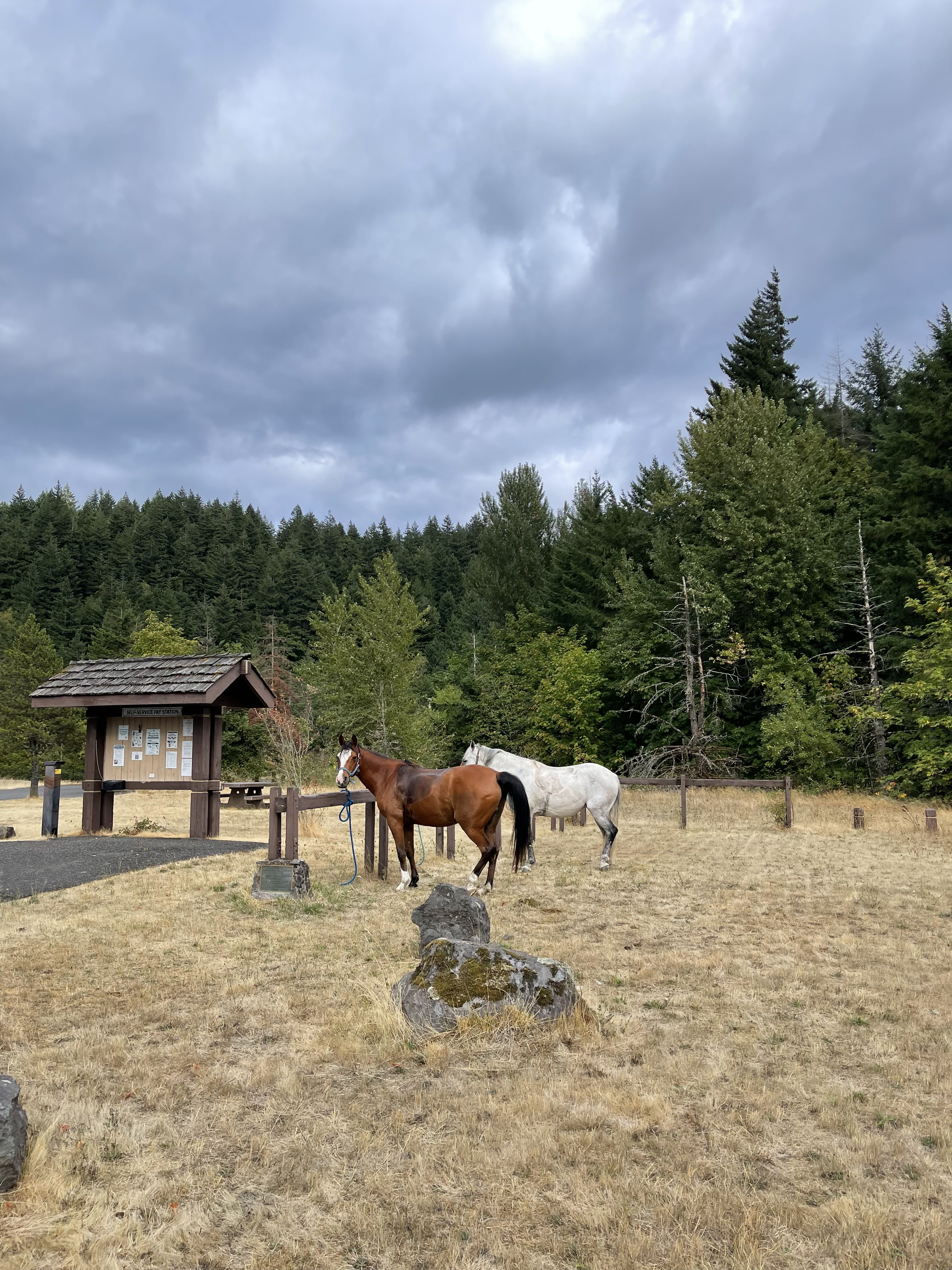
Facilities: No camping at trailhead. Beacon Rock State Park has two primitive equestrian sites and is 10 minute drive from the trailhead.
The trailhead has sufficient parking and low use. A hitching post and a bathroom is available. Large boulders at the start of the trail for mounting.
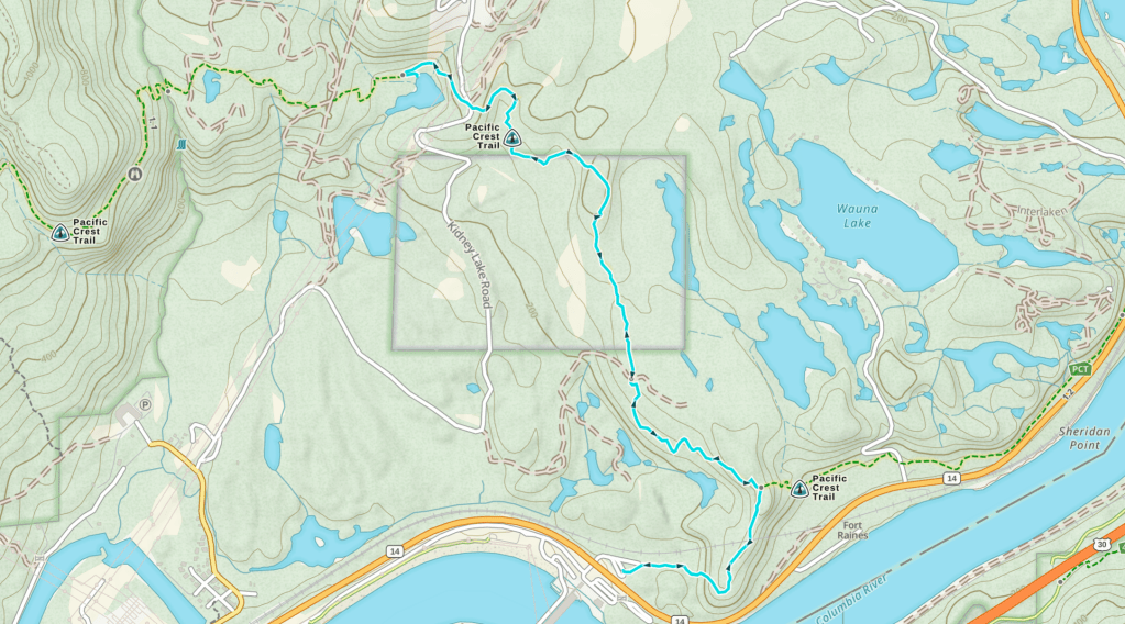
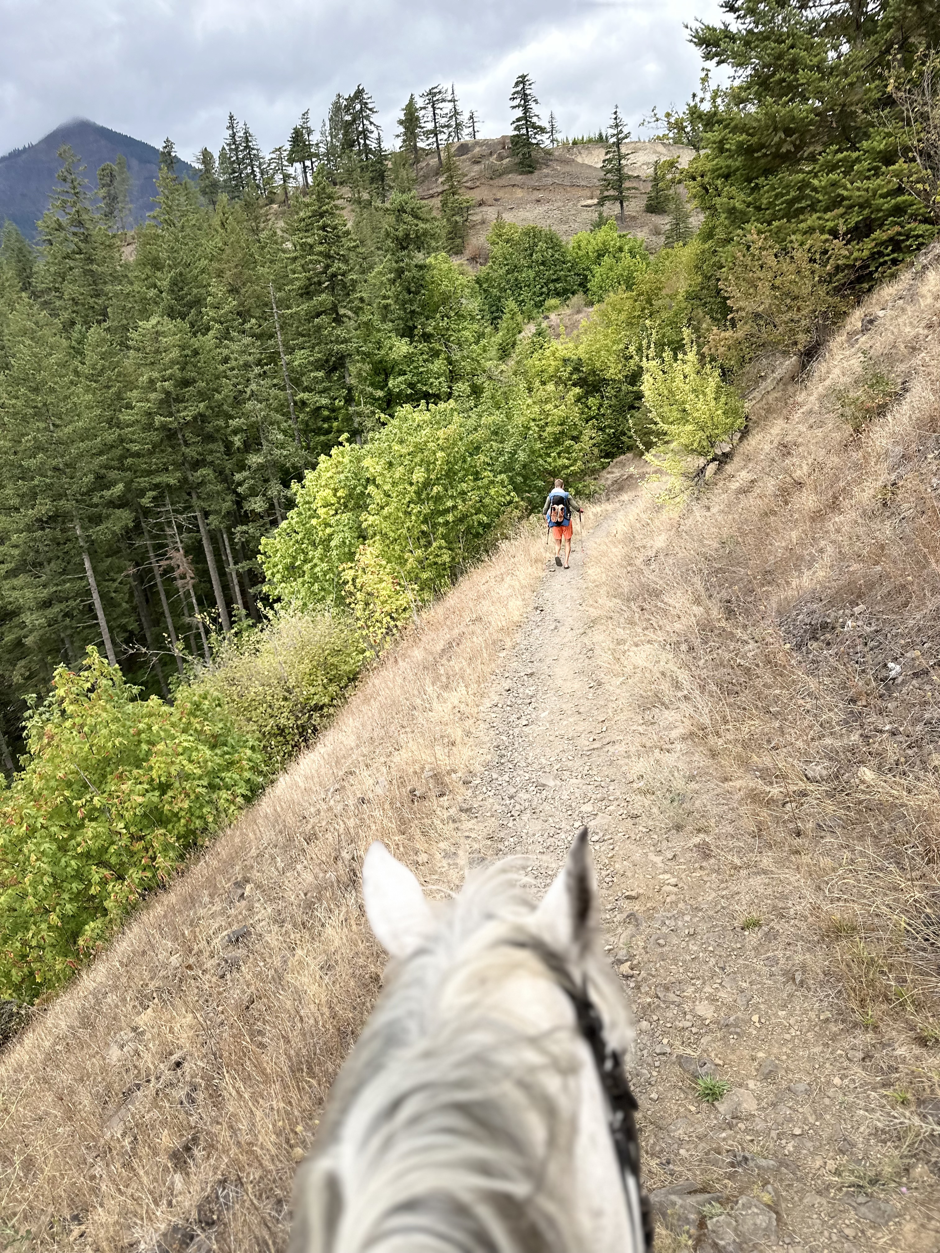
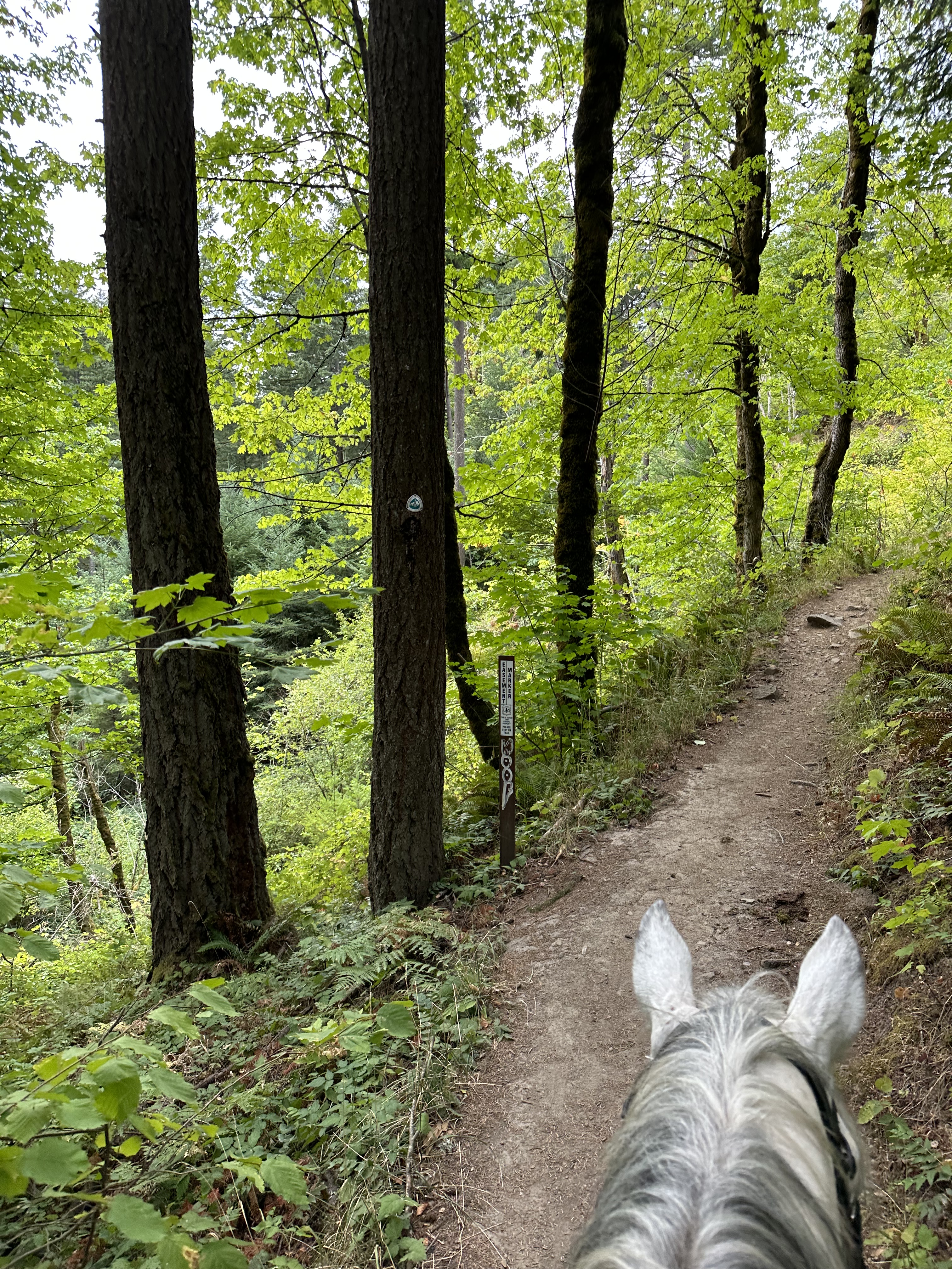
Trail Info: From the parking lot, take the Tamanous Trail #27 for 0.6 miles to the junction with the Pacific Crest Trail. Turn left at the junction and ride north on the PCT for 1.7 miles. At the gravel road, cross and continue on the PCT going downhill to the lake. After 0.3 miles you’ll arrive at a small offshoot trail that will take you to the lake shore.
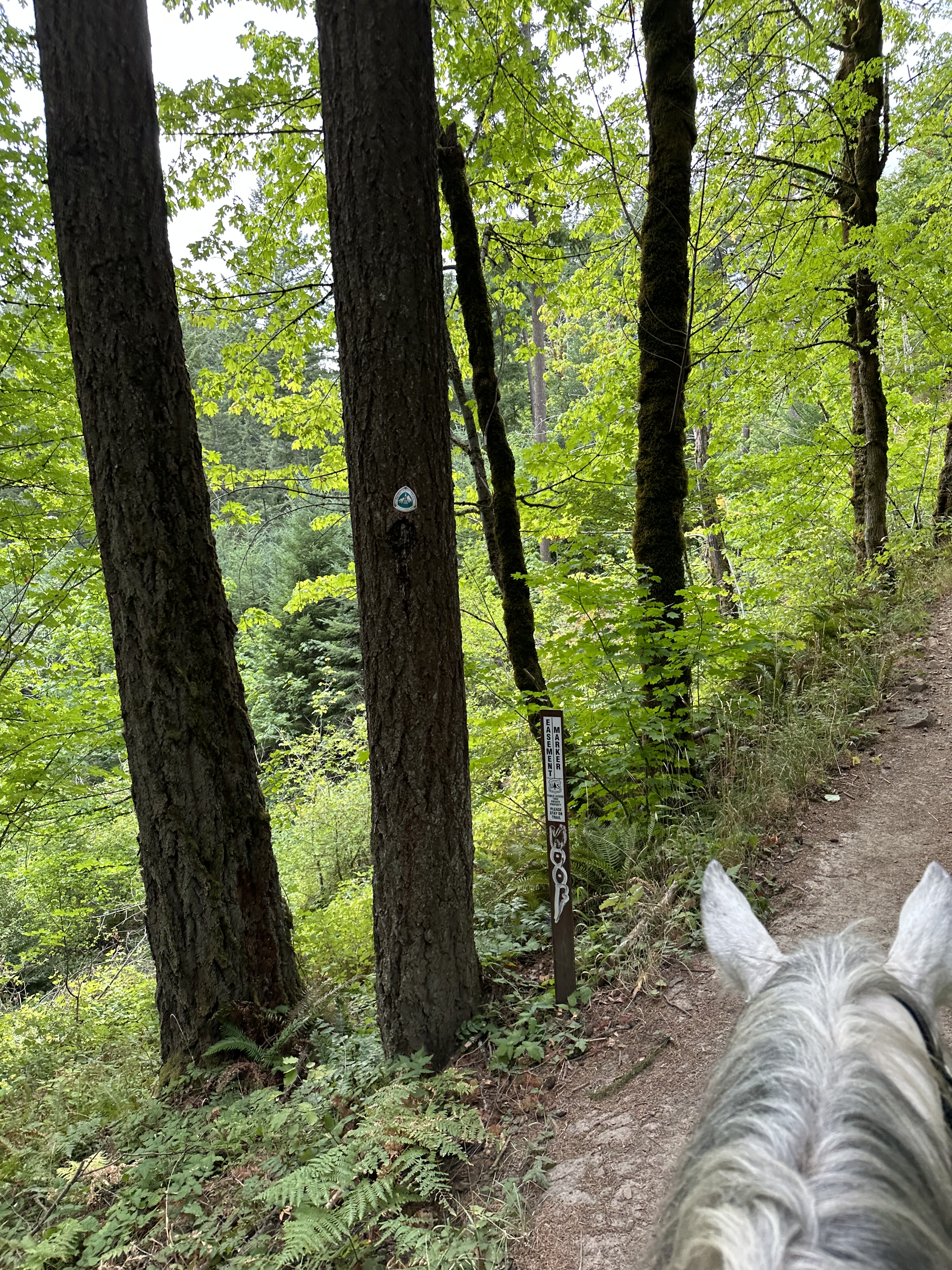
Trail Challenges: Trail is well maintained but as of 2024 there were two leaning trees that we had to dismount to go under. No water crossings. Short (approx. 20 feet) rocky section with loose footing in last half of trail. The first part of the trail crosses over a train tunnel – use caution if you hear a train coming as the noise could spook a horse.
Permits: Northwest Forest Pass, Interagency Pass or other recognized day pass required at trailhead.
Backcountry Sites: Dispersed camping allowed along the PCT but no suitable sites in this section. No grazing.
Cell Service: Verizon service reliable along trail.
Fuel: Easy in and out at the Chevron, just 2.3 miles away. 51 Cascade Dr, North Bonneville, WA 98639
GPX File:
WHT: Gillette Lake via PCT
Directions:
From Vancouver, WA: Travel east on Washington State Route 14 approximately 40 miles. The parking lot and Bonneville Trailhead are directly opposite the entrance to the U.S. Army Corps of Engineers Bonneville Lock and Dam Visitor Center at milepost 39.8.
From Bingen, WA: Travel west on Washington State Route 14 approximately 25 miles. The parking lot and Bonneville Trailhead are directly opposite the entrance to the U.S. Army Corps of Engineers Bonneville Lock and Dam Visitor Center at milepost 39.8.
Map:
← Back to Trail Catalog
← Explore more trails in the Columbia River Gorge


Leave a comment